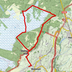
Dati percorsi
14,54km
288
- 523m
189hm
152hm
04:30h
- Descrizione rapida
-
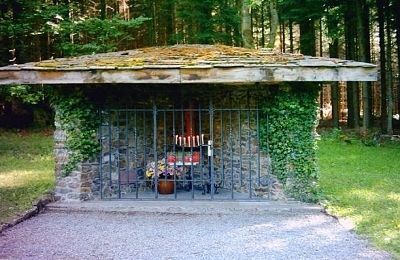
Zur ehemaligen Siedlung Reinartzhof
- Difficoltà
-
intermedio
- Valutazione
-
- Percorso
-
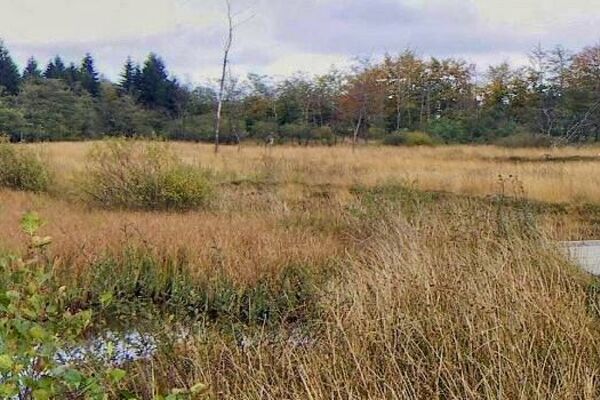
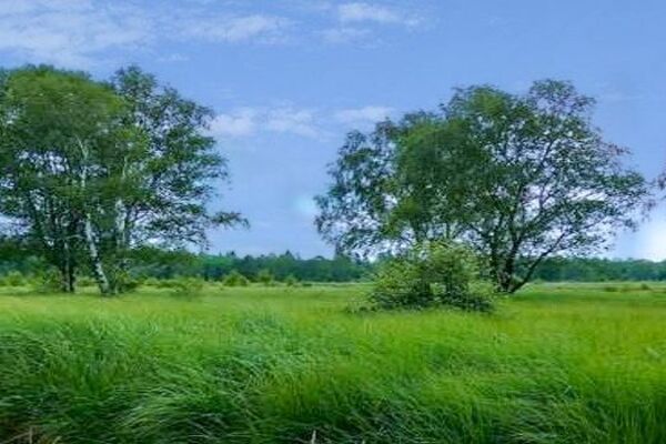
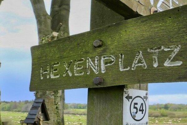
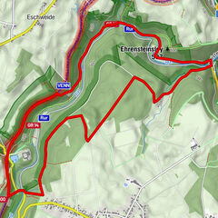
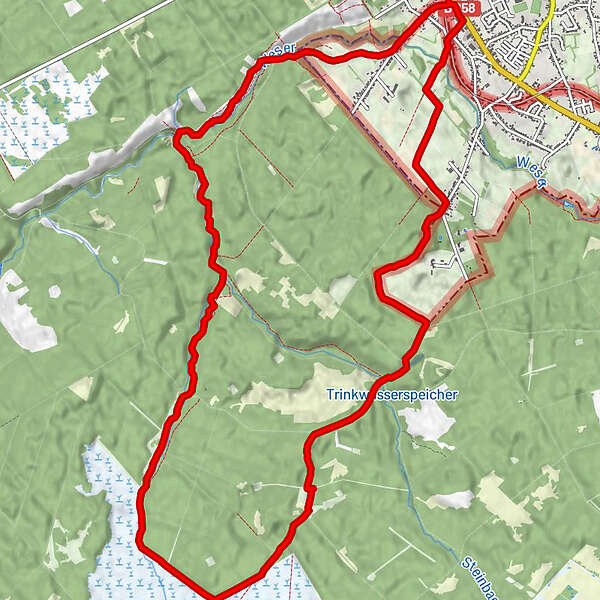
PetergensfeldWanderstation0,0 kmBrasserie Galleria0,1 kmSchwerzfeld2,3 kmKapelle Reinartzhof5,4 kmPetergensfeld14,3 kmWanderstation14,5 km
- La stagione migliore
-
genfebmaraprmaggiulugagosetottnovdic
- Punto più alto
- 523 m
- Cartine
-
Karte Hohes Venn
- Infomateriale
-


- Fonte
- Wandergebiet Rureifel, Nationalpark Eifel, Hohes Venn
GPS Downloads


Condizioni dei sentieri
Asfalto
Ghiaia
Prato
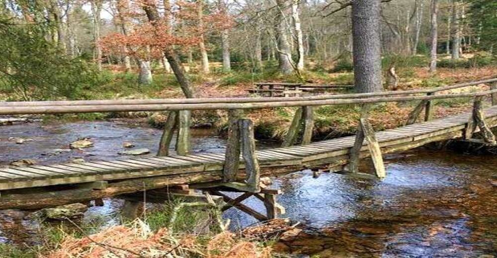
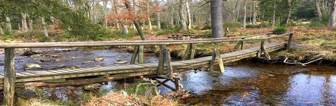
Foresta
Roccia
Esposta
Altri tour nelle regioni
-
Eifel & Aachen
1425
-
Hohes Venn
601
-
Roetgen
257