Bruchhauser Steine - Bruchhausen Rocks south-east of Olsberg

Sentiero tematico

© Biologische Station Hochsauerlandkreis - Richard Götte

© Biologische Station Hochsauerlandkreis
Dati percorsi
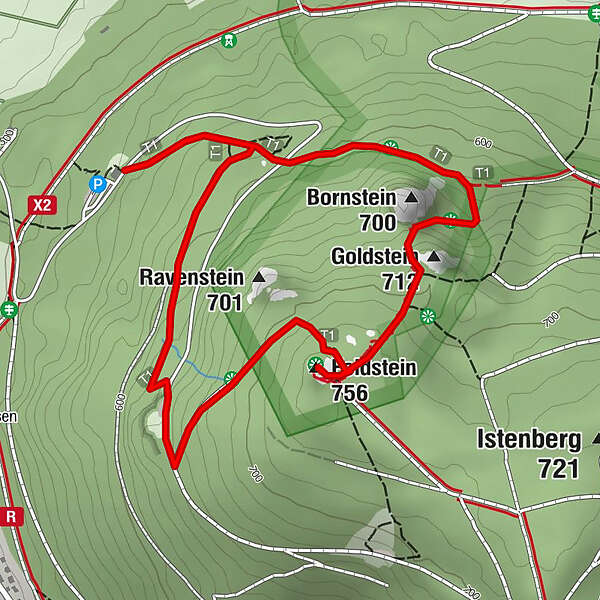
3,04km
535
- 716m
183hm
168hm
01:15h

- Descrizione rapida
-
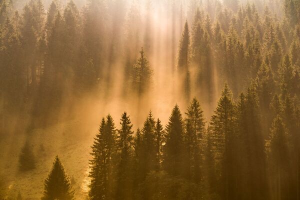
These four rock heads are visible from afar and form the most striking mountain scenery of the Sauerland region. At the same time they are a testimony to ancient volcanic activity, a refuge for rare species and an impressive cultural monument.
- Difficoltà
-
difficile
- Valutazione
-
- Percorso
-
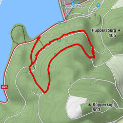
Maluschke Platz0,8 kmGoldstein (712 m)1,0 kmFeldstein (756 m)1,3 kmEwige Quelle1,7 km
- La stagione migliore
-
genfebmaraprmaggiulugagosetottnovdic
- Punto più alto
- 716 m
- Destinazione
-
Info-centre "Bruchhauser Steine"
- Profilo altimetrico
-
 © outdooractive.com


- Autore
-
Il tour Bruchhauser Steine - Bruchhausen Rocks south-east of Olsberg è utilizzato da outdooractive.com fornito.
GPS Downloads


Info generali
Punto di ristoro
Culturale/Storico
Flora
Fauna
Promettente
Altri tour nelle regioni
-
GrimmHeimat NordHessen
789
-
Brilon & Olsberg
1000
-
Olsberg
376