© Gesellschaft für Stadtmarketing Siegen - Frank Steinseifer

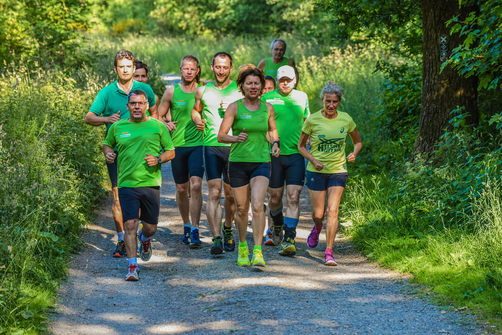
© Laufen57

© Unbekannt - Dirk Herrmann

© Unbekannt - Dirk Herrmann

© Unbekannt - Dirk Herrmann

© Unbekannt - Dirk Herrmann

© Unbekannt - Dirk Herrmann

© Unbekannt - Dirk Herrmann

© Unbekannt - Dirk Herrmann

- Descrizione rapida
-
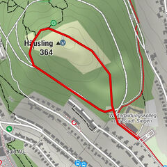
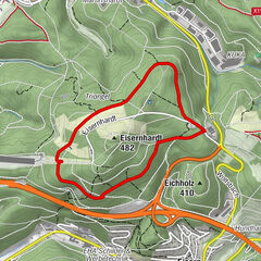
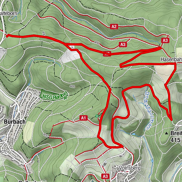
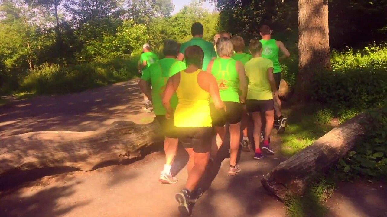
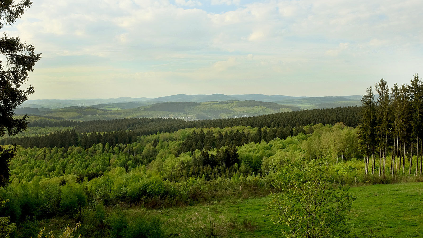
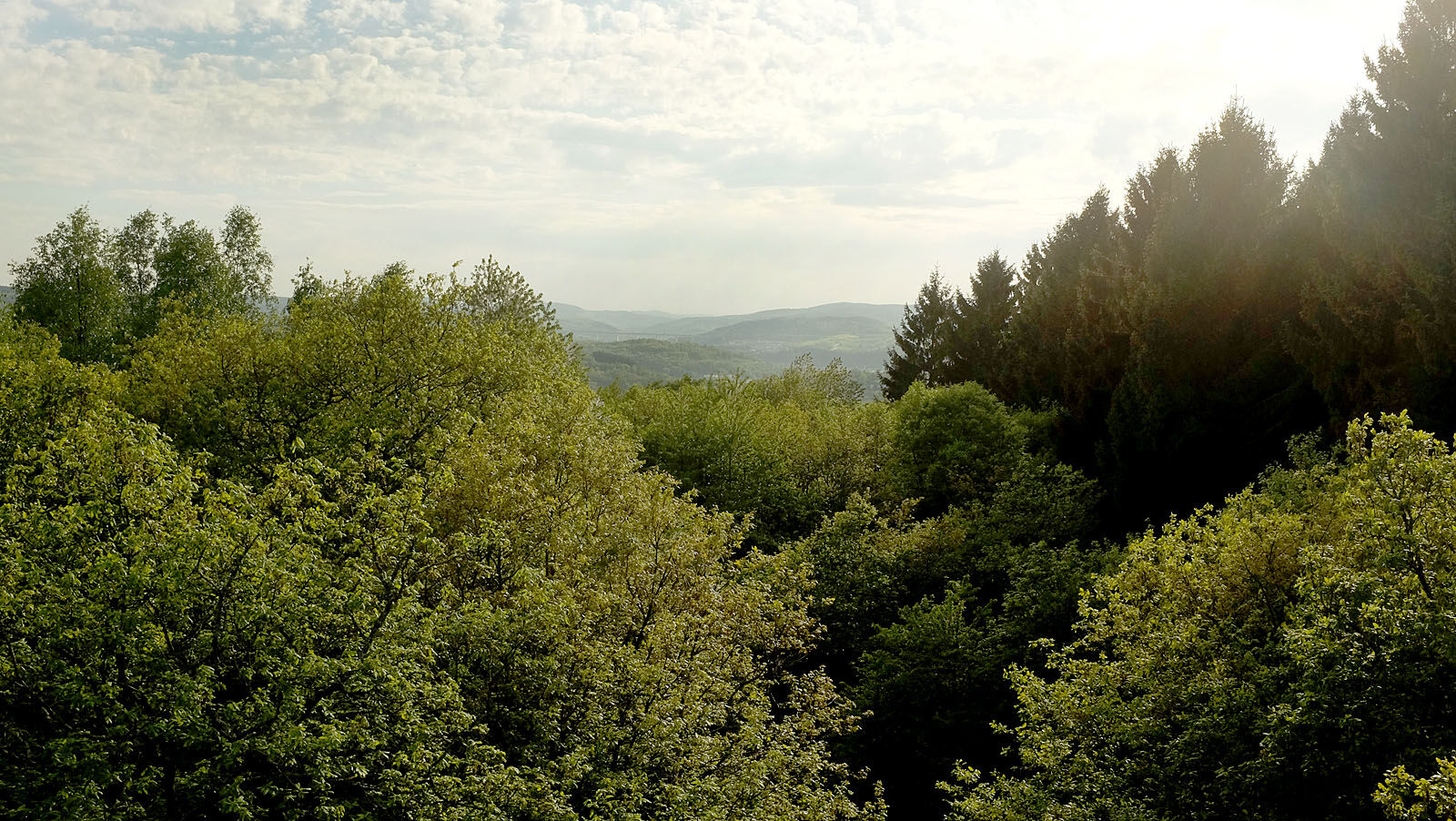
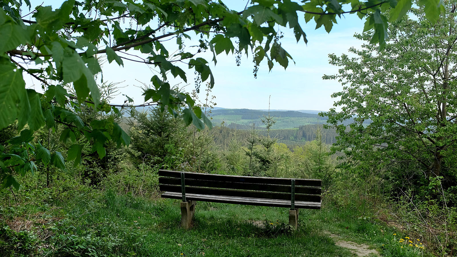
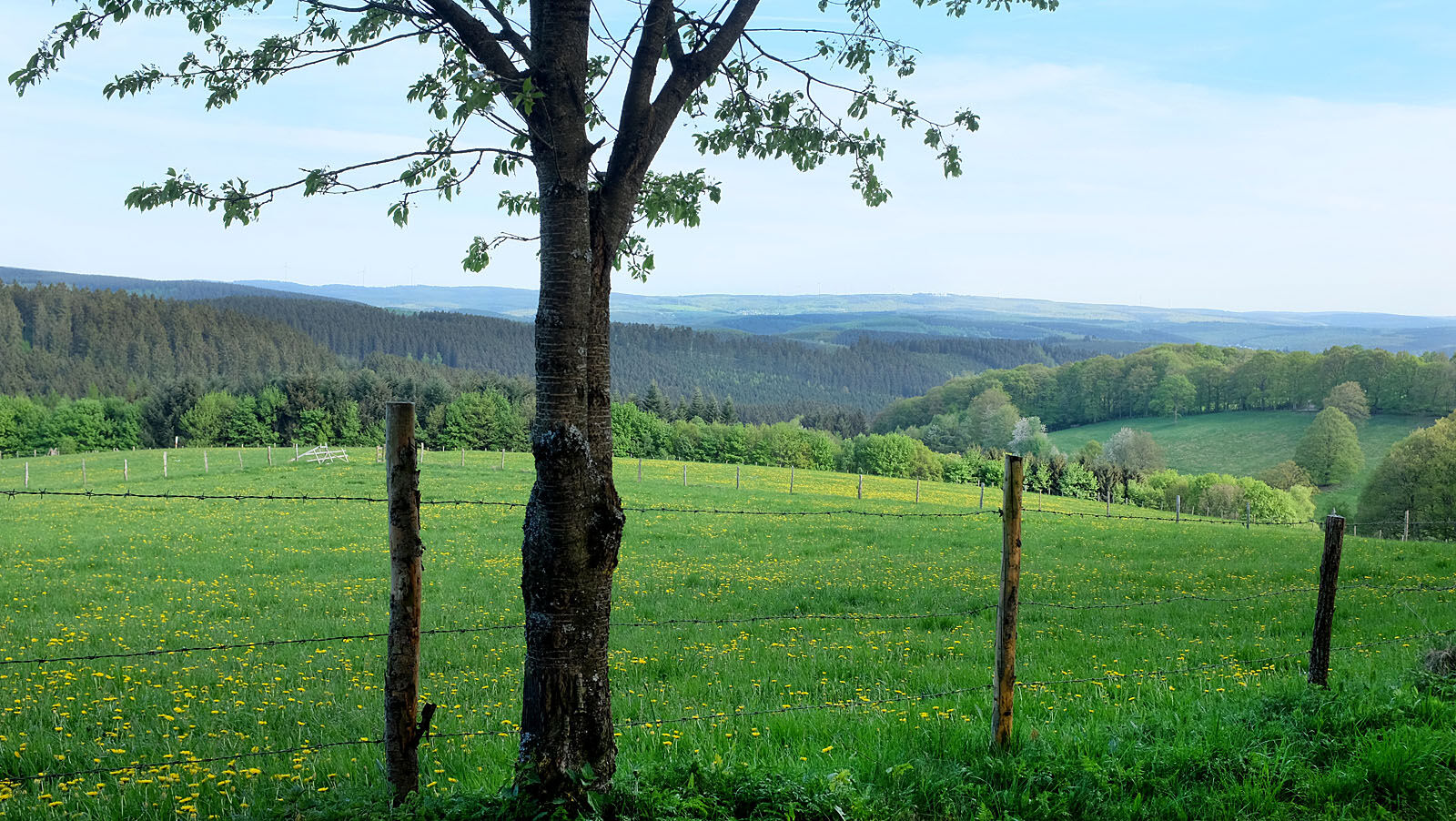
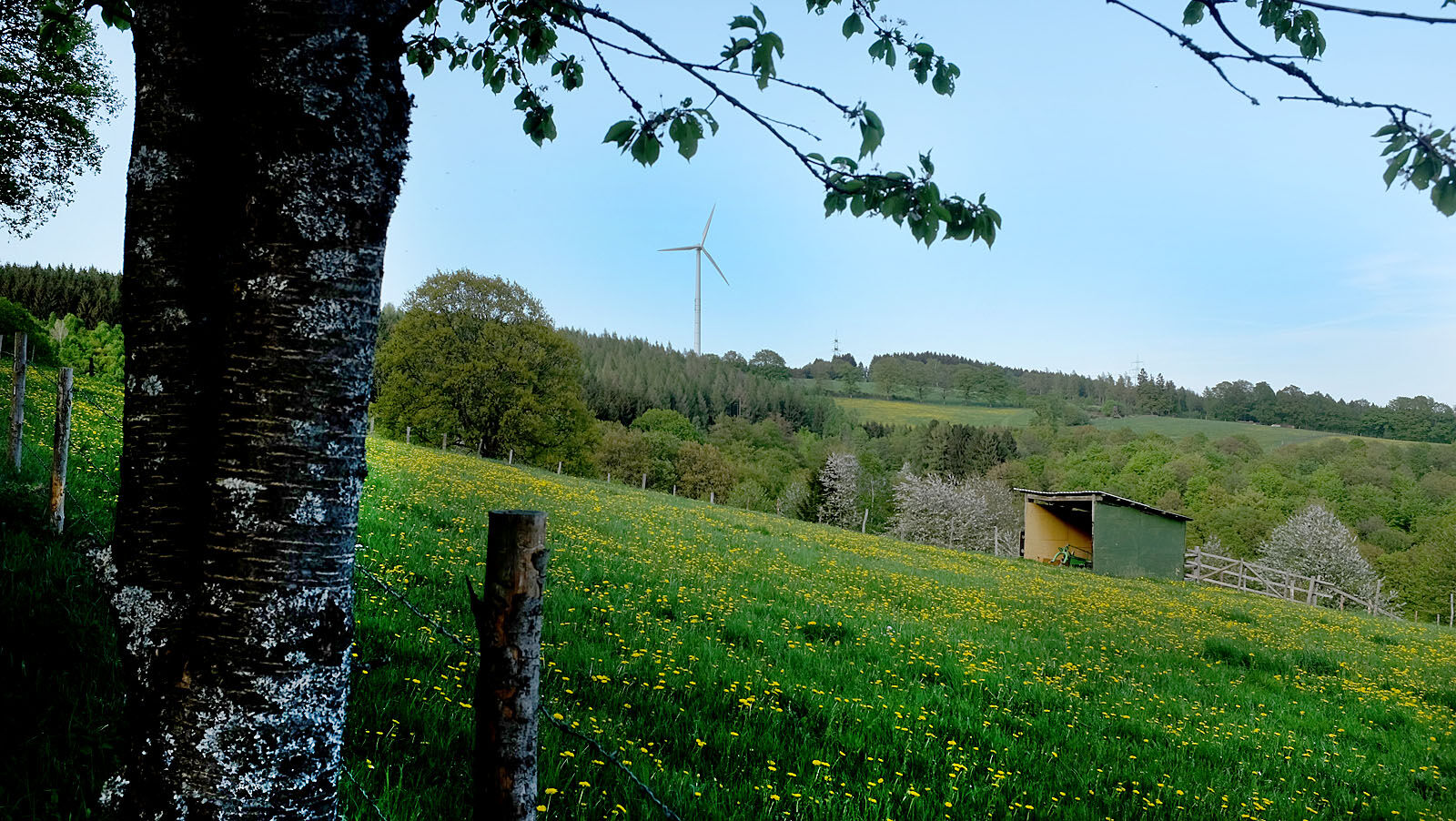
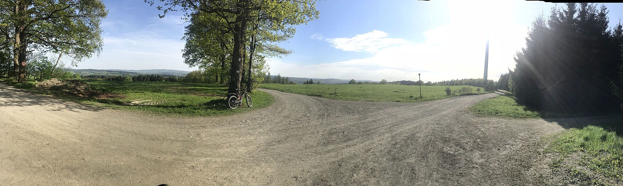
Die Strecke vom Wanderparkplatz Dautenbach an der K5 zum Hasenbahnhof (Windrad) und entlang des Rabenhain-Aussichtsturmes ist eine von vielen profilierten und landschaftlich reizvollen Rundkursen und bietet einige schöne Aussichten auf Siegen und das Siegerland.
- Difficoltà
-
intermedio
- Valutazione
-
- Percorso
-
Breitenbach4,7 kmHasenbahnhof5,2 kmNetphen (300 m)6,7 km
- La stagione migliore
-
genfebmaraprmaggiulugagosetottnovdic
- Punto più alto
- 466 m
- Destinazione
-
Wanderparkplatz Dautenbach an der Kreisstraße 5 zwischen Siegen und Netphen
- Profilo altimetrico
-
 © outdooractive.com

-

-
AutoreIl tour Dautenbach, Rabenhain und Hasenbahnhof è utilizzato da outdooractive.com fornito.
GPS Downloads


Info generali
Promettente
Altri tour nelle regioni