© Eifel Tourismus GmbH - Dominik Ketz

© Eifel Tourismus GmbH - Dominik Ketz

© Eifel Tourismus GmbH - Dominik Ketz

© Eifel Tourismus GmbH - Dominik Ketz

© Eifel Tourismus GmbH - Dominik Ketz


© Eifel Tourismus GmbH - Dominik Ketz


© Eifel Tourismus GmbH / D. Ketz


- Descrizione rapida
-
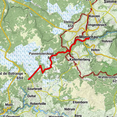
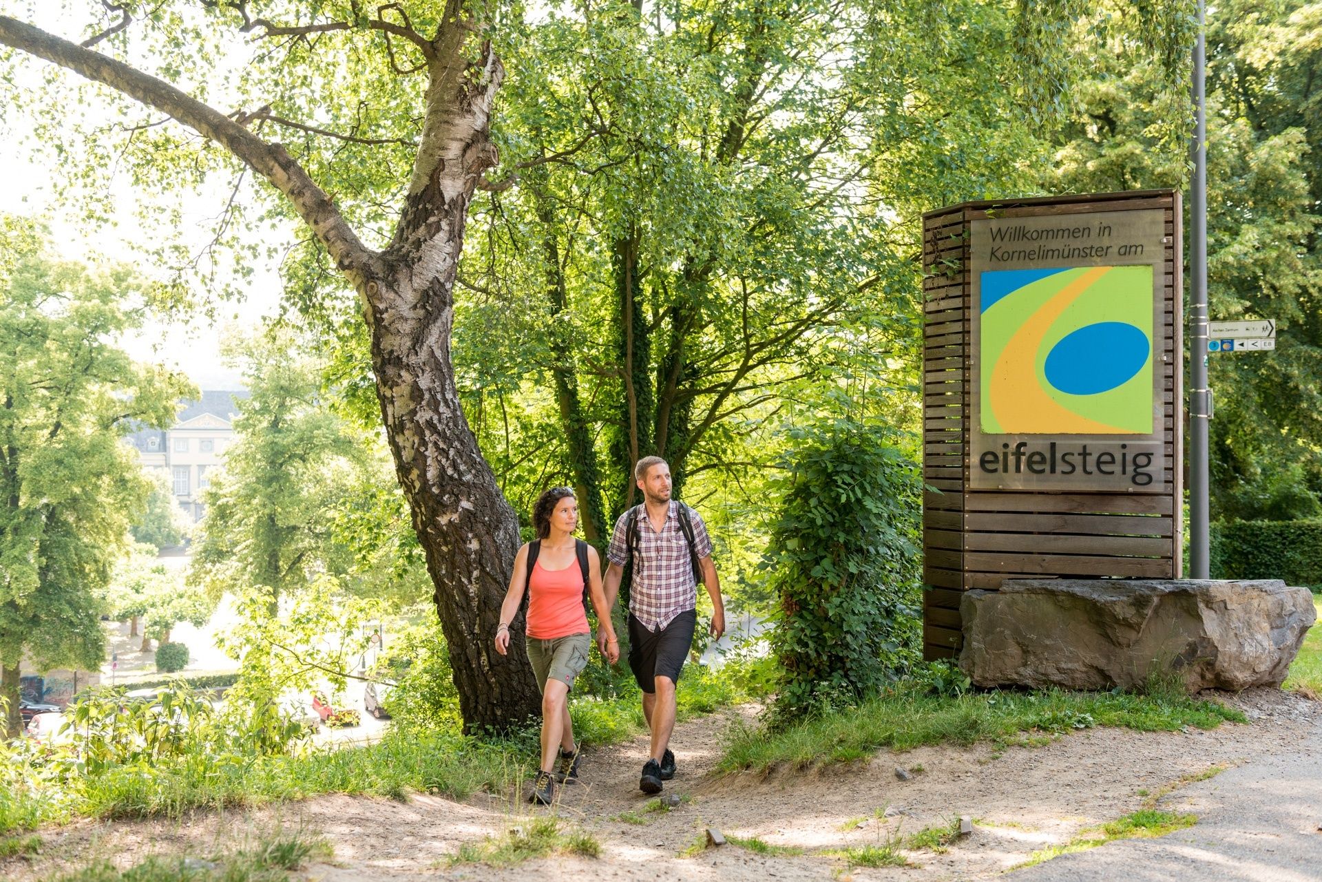
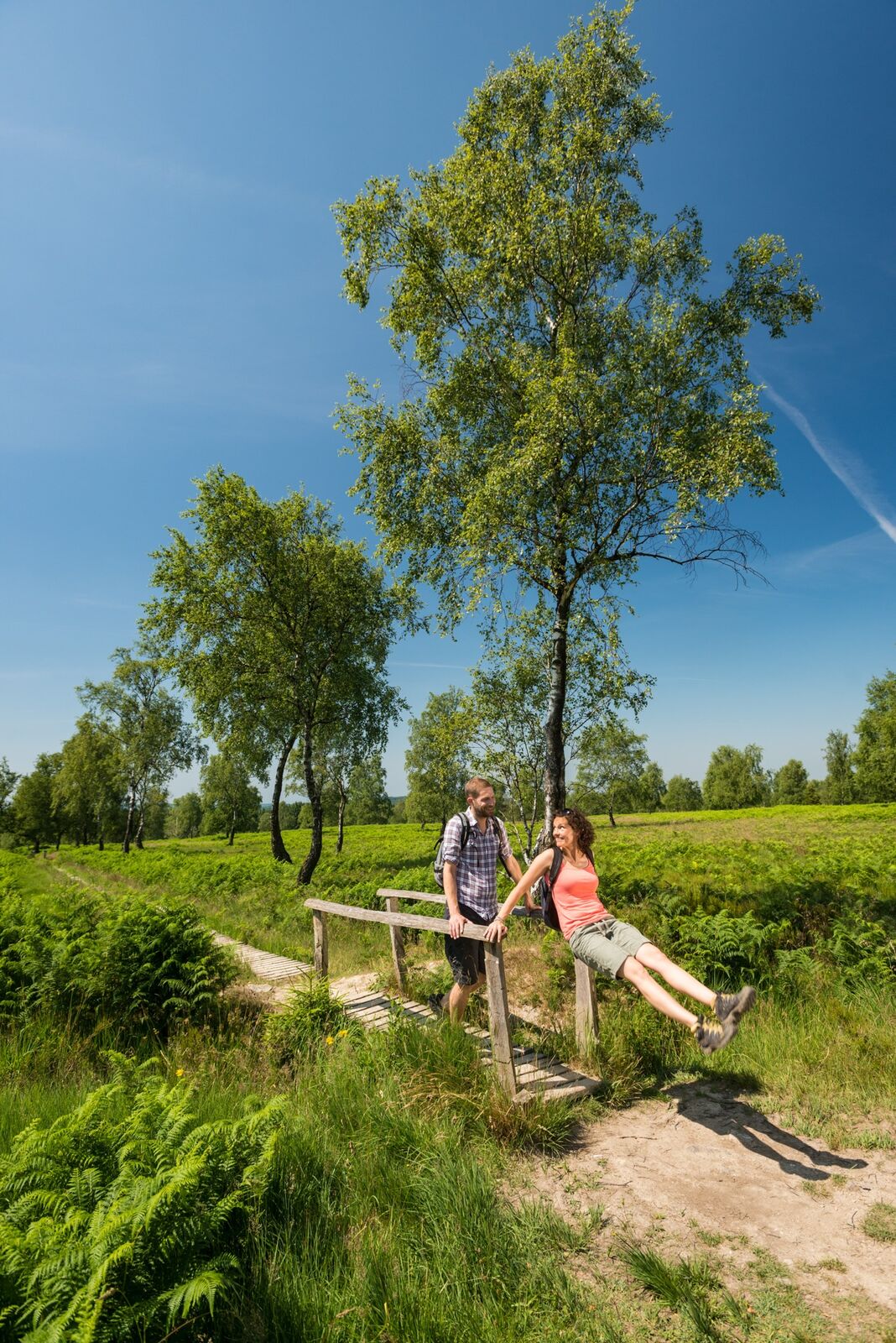
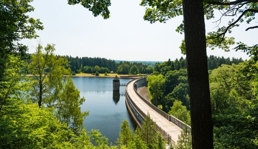
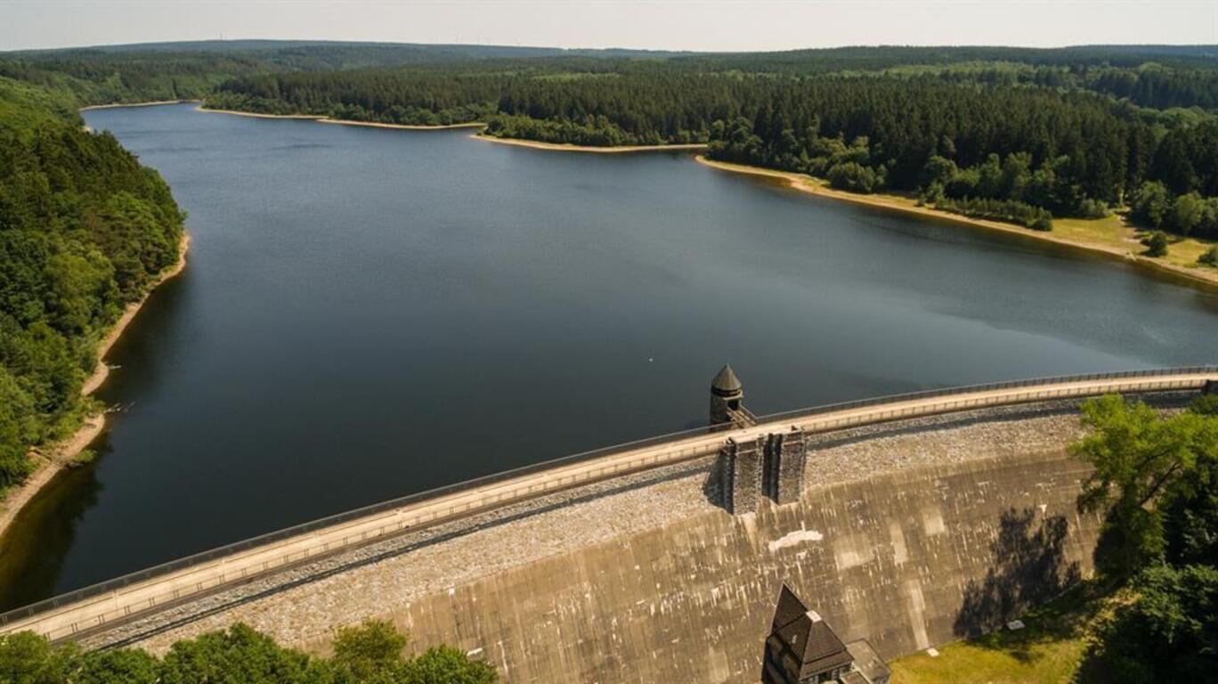
The Eifelsteig trail begins in the Kornelimünster district of Aachen, a former destination for pilgrims, and brings the hiker from the bustling city into the quietness of nature. In the Inde Valley, information boards enlighten the walker about the many limestone kilns along the trail. After a short ascent you reach the Struffelt Heath, with its moors and lowland heaths. Wooden footbridges bring you through this impressive landscape. The trail continues past the dam on the Dreilägerbach and onto Roetgen, the 'Gateway to the Eifel'.
- Difficoltà
-
facile
- Valutazione
-
- Percorso
-
KornelimünsterHahn2,5 kmWalheim4,1 kmFriesenrath5,1 kmRoetgen (410 m)13,8 kmPetergensfeld14,8 kmWanderstation14,8 km
- La stagione migliore
-
genfebmaraprmaggiulugagosetottnovdic
- Punto più alto
- 451 m
- Destinazione
-
Bahnhofstraße Roetgen (Wanderstation / Pferdeweiher)
- Profilo altimetrico
-
 © outdooractive.com


- Autore
-
Il tour Eifelsteig Etappe 01: Kornelimünster - Roetgen è utilizzato da outdooractive.com fornito.
GPS Downloads


Info generali
Punto di ristoro
Culturale/Storico
Flora
Altri tour nelle regioni
-
Eifel & Aachen
1426
-
Hohes Venn
602
-
Roetgen
258