

© Unbekannt - Michael Weiß

- Descrizione rapida
-
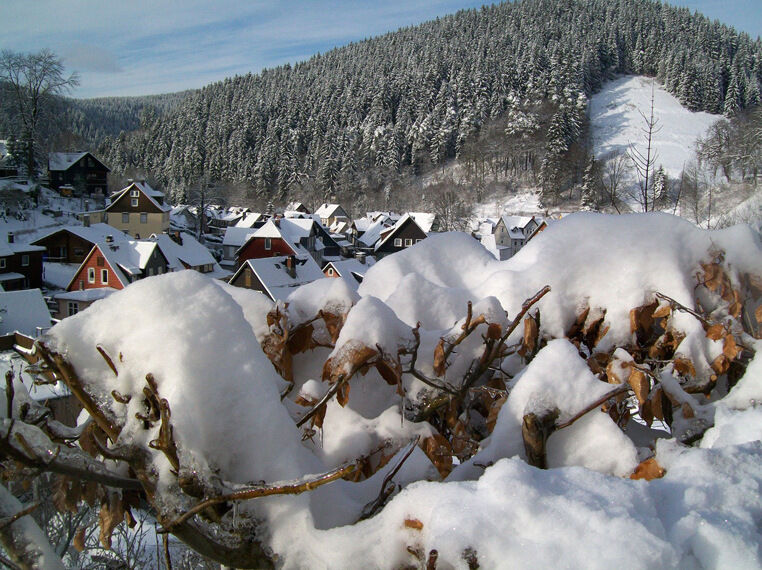
Wanderweg am westlichen Adlersberg entlang bis nach Lautenthal.
- Difficoltà
-
intermedio
- Valutazione
-
- Percorso
-
Hüttschenthal4,0 kmMaaßener Gaipel6,3 km
- La stagione migliore
-
agosetottnovdicgenfebmaraprmaggiulug
- Punto più alto
- 499 m
- Destinazione
-
Lautenthal
- Profilo altimetrico
-
 © outdooractive.com
-

-
AutoreIl tour Wanderweg über den Adlersberg è utilizzato da outdooractive.com fornito.
GPS Downloads


Altri tour nelle regioni


