Dati percorsi
4,7km
419
- 539m
167hm
178hm
00:48h

- Descrizione rapida
-
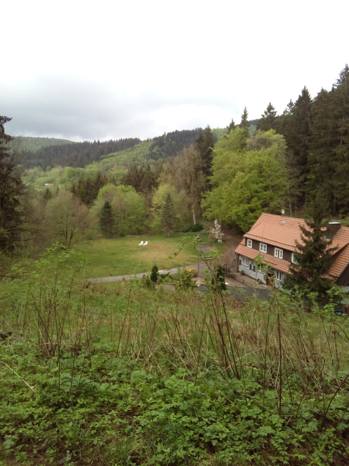
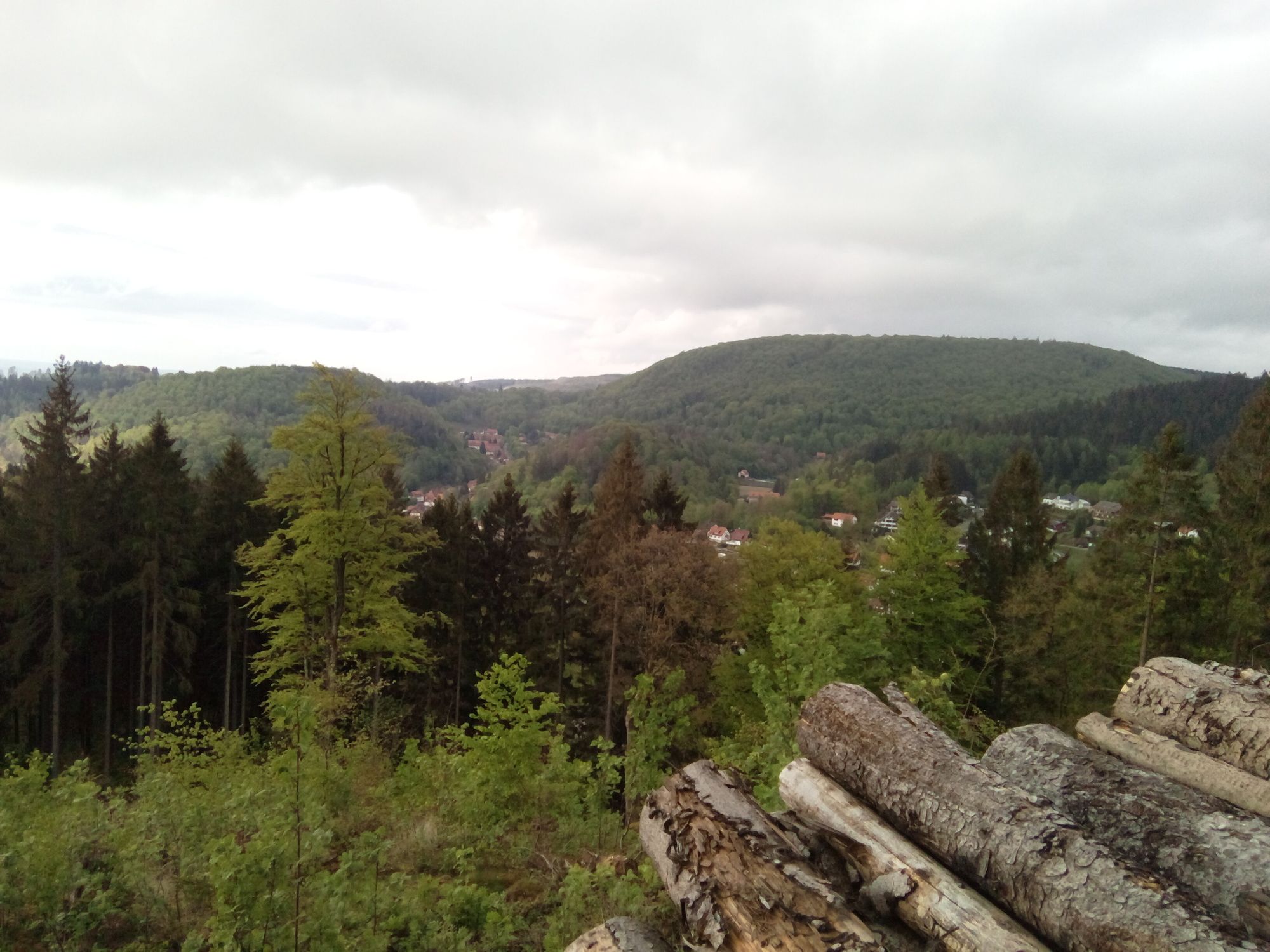
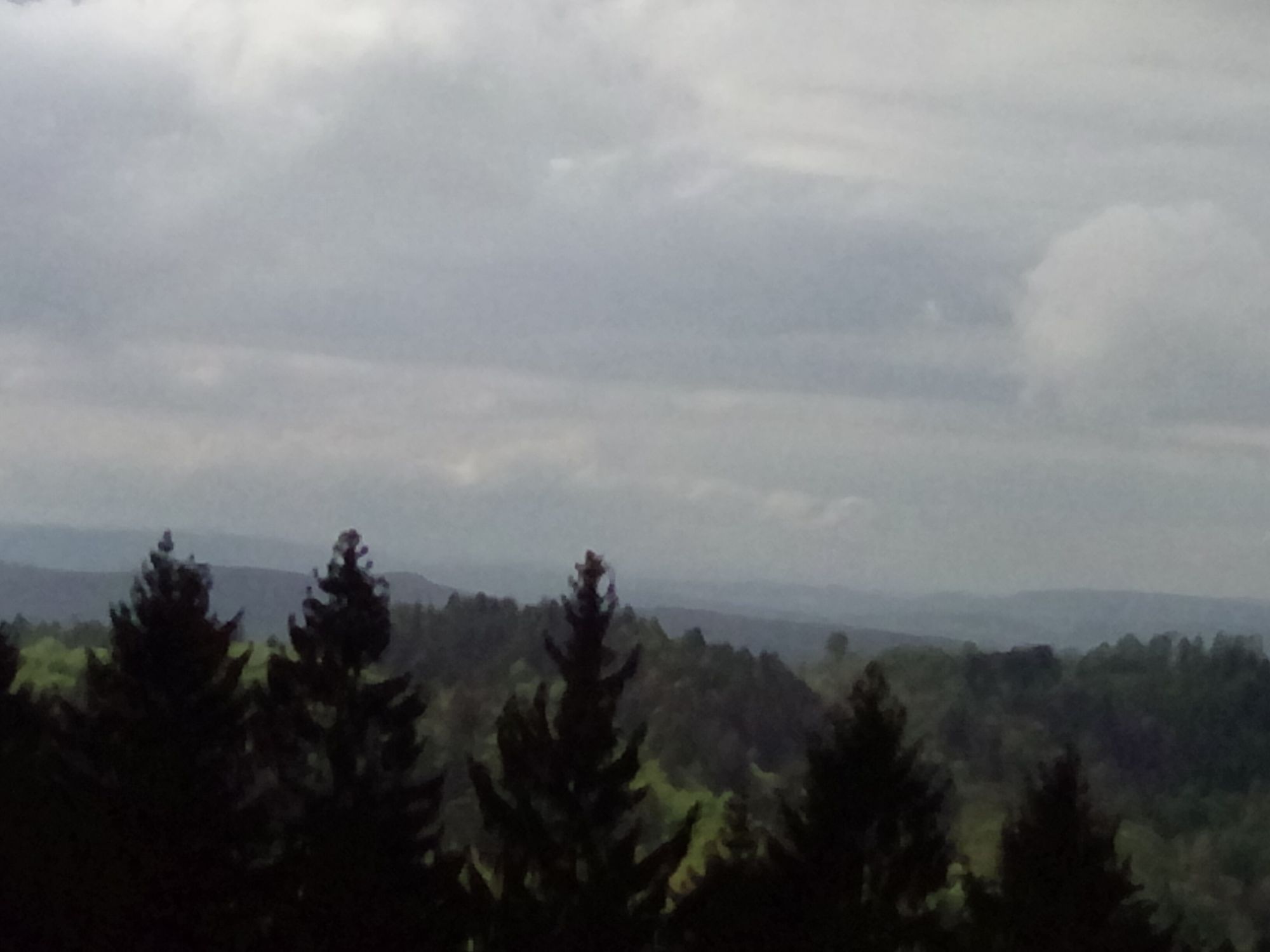
Abwechselungsreich
- Difficoltà
-
facile
- Valutazione
-
- Punto di partenza
-
Bad Grund, Waldwinkel
- Percorso
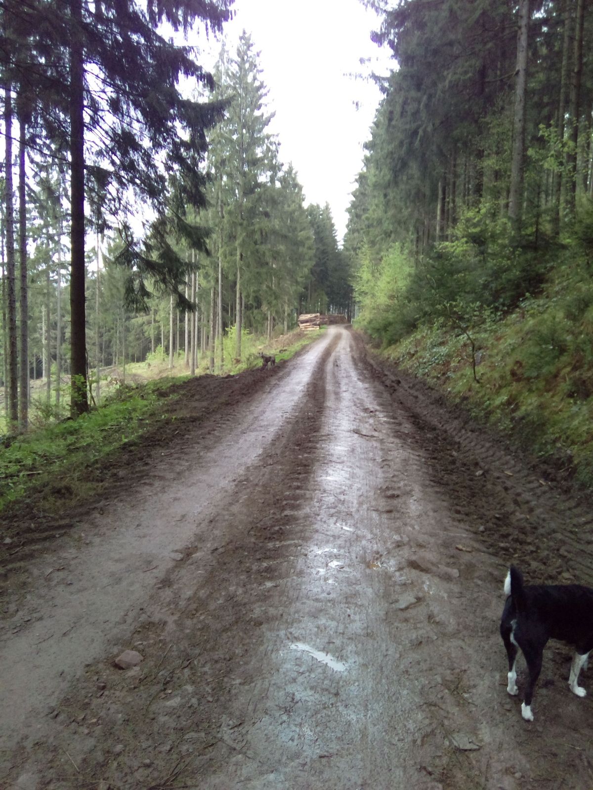
-
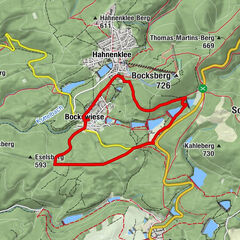
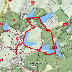
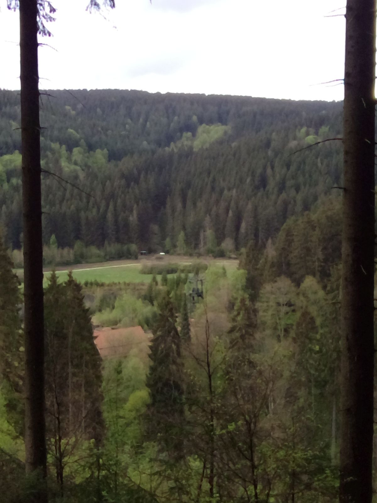
Bergstadt Bad Grund (Harz) (358 m)0,5 km
- La stagione migliore
-
genfebmaraprmaggiulugagosetottnovdic
- Punto più alto
- 539 m
- Destinazione
-
Bad Grund, Waldwinkel
- Fonte
- Siri-Nina Töpperwien
GPS Downloads


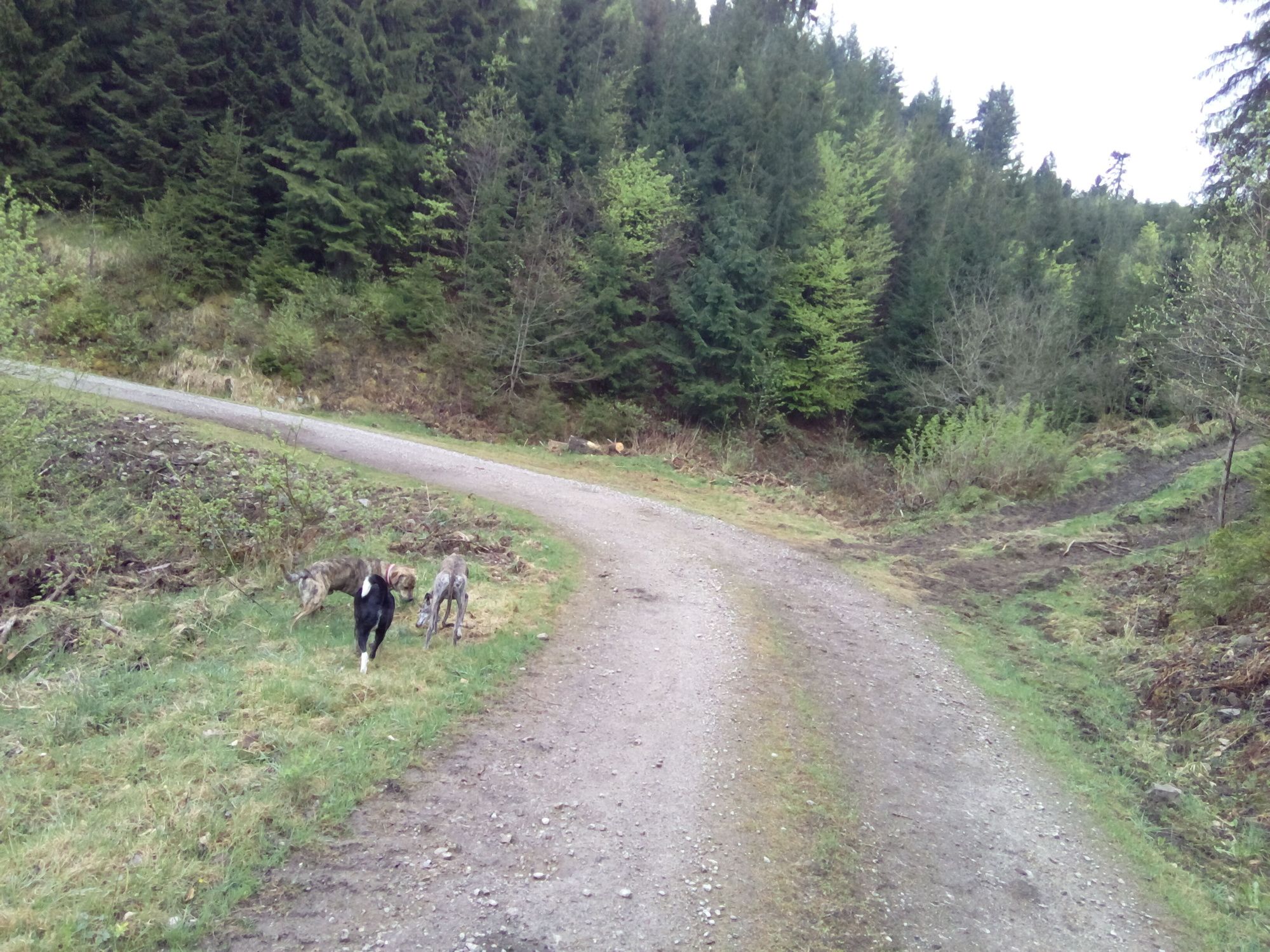
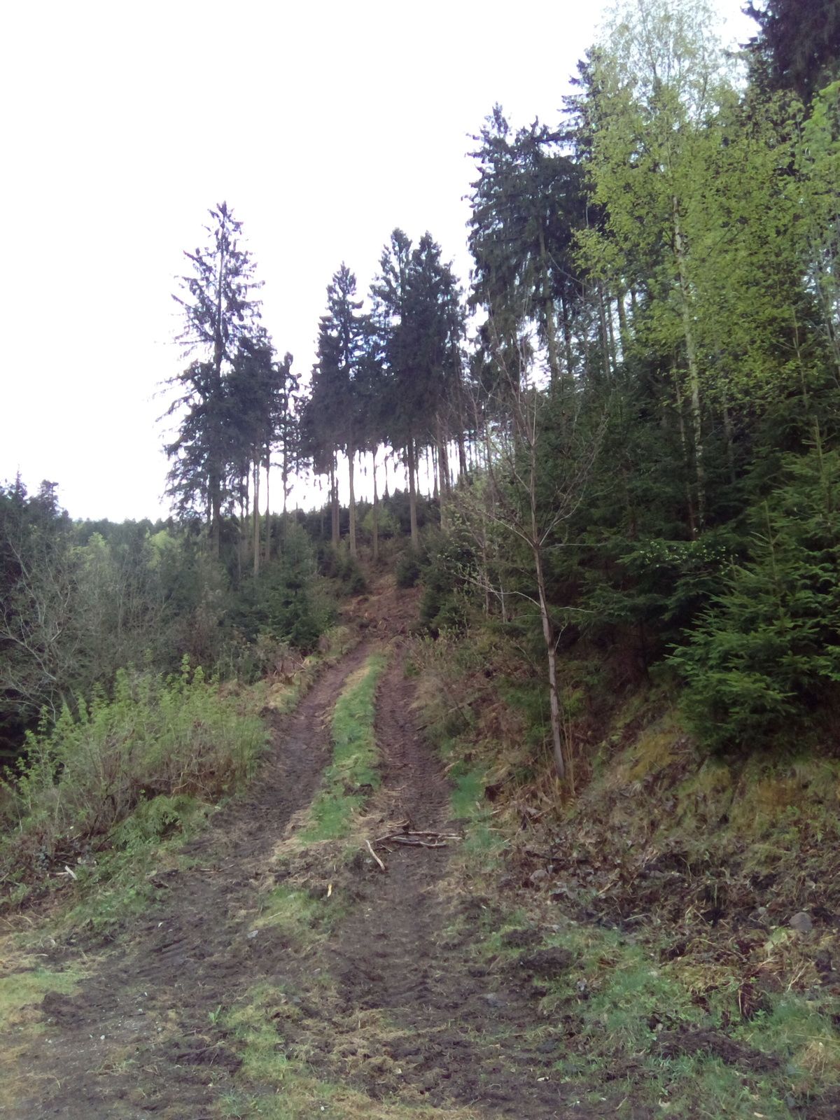
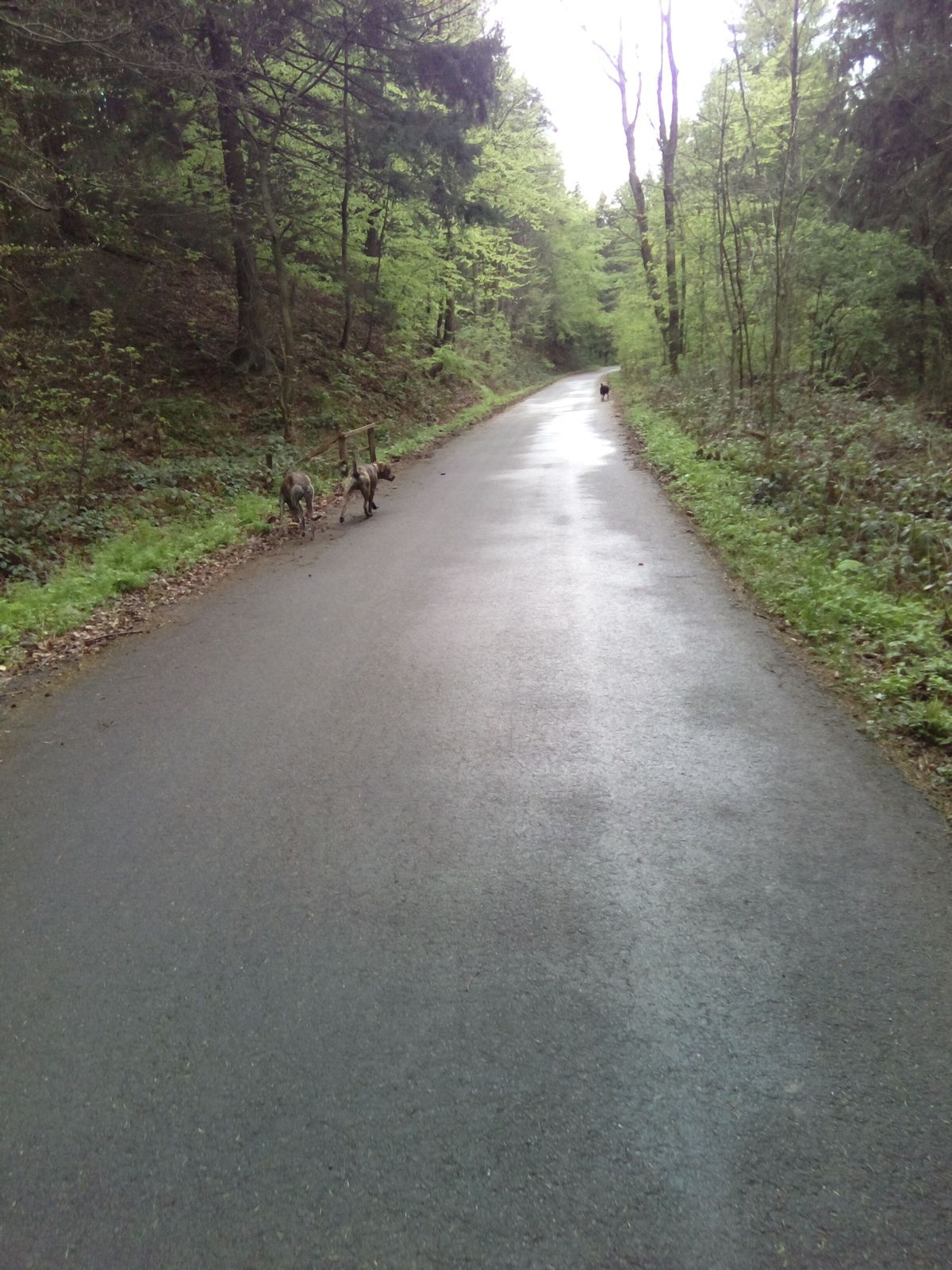
Condizioni dei sentieri
Asfalto
Ghiaia
Prato
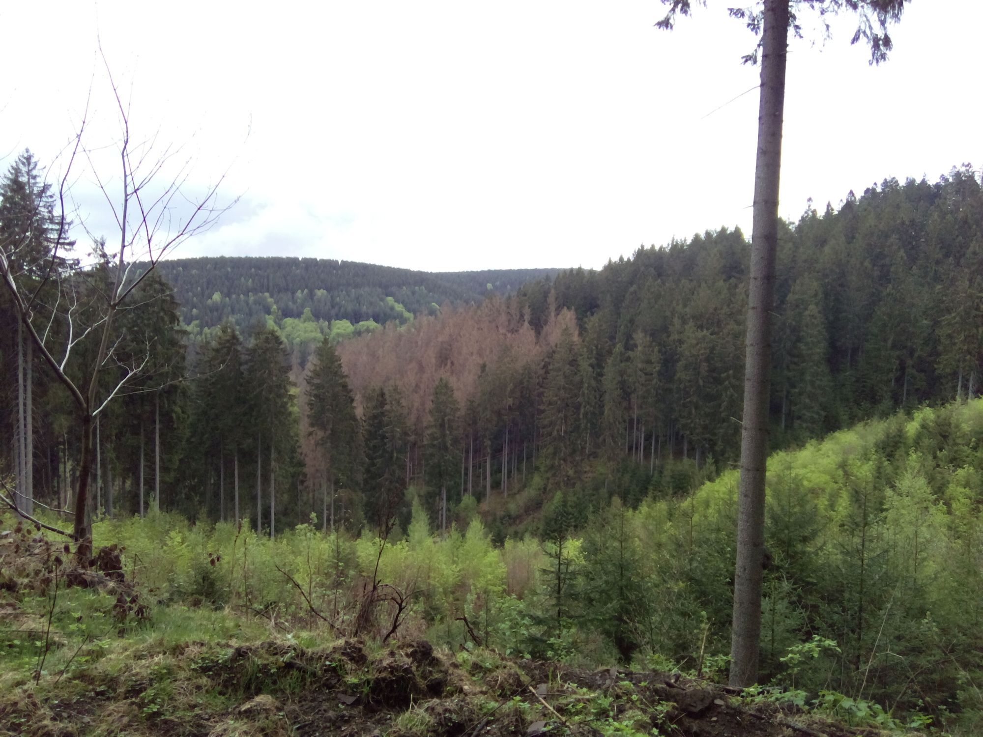
Foresta
Roccia
Esposta
Altri tour nelle regioni
-
Der Harz/ Niedersachsen
1061
-
Oberharz
685
-
Bad Grund
162