© UNESCO-Welterbe Bergwerk Rammelsberg, Altstadt von Goslar und Oberharzer Wasserwirtschaft - Oberharzer Bergwerksmuseum

© UNESCO-Welterbe Bergwerk Rammelsberg, Altstadt von Goslar und Oberharzer Wasserwirtschaft - Oberharzer Bergwerksmuseum
Dati percorsi
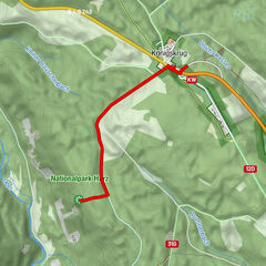
5,46km
564
- 584m
32hm
36hm
01:25h
- Descrizione rapida
-
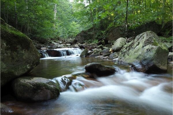
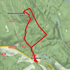
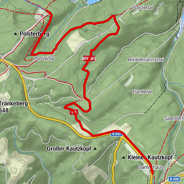
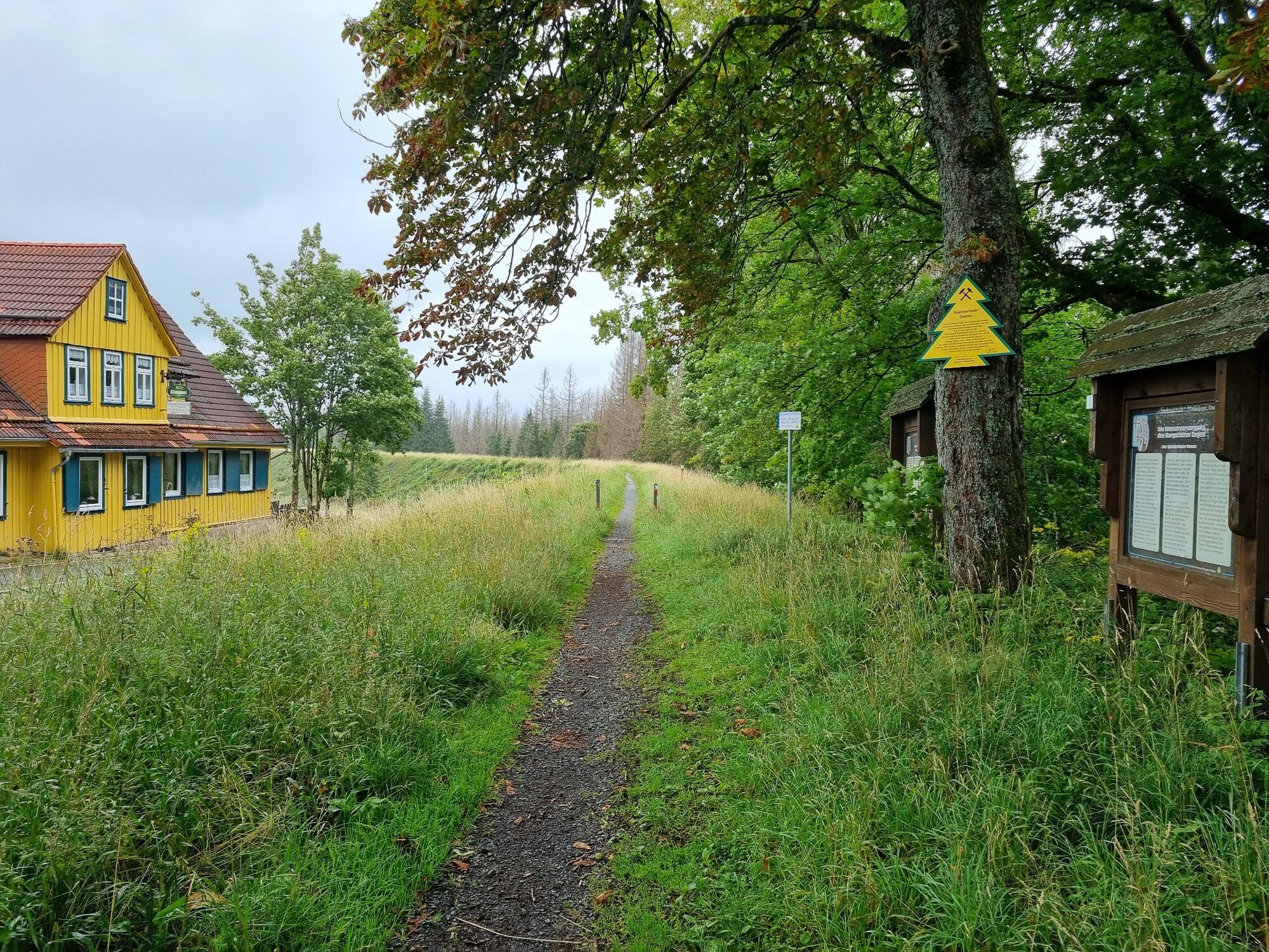
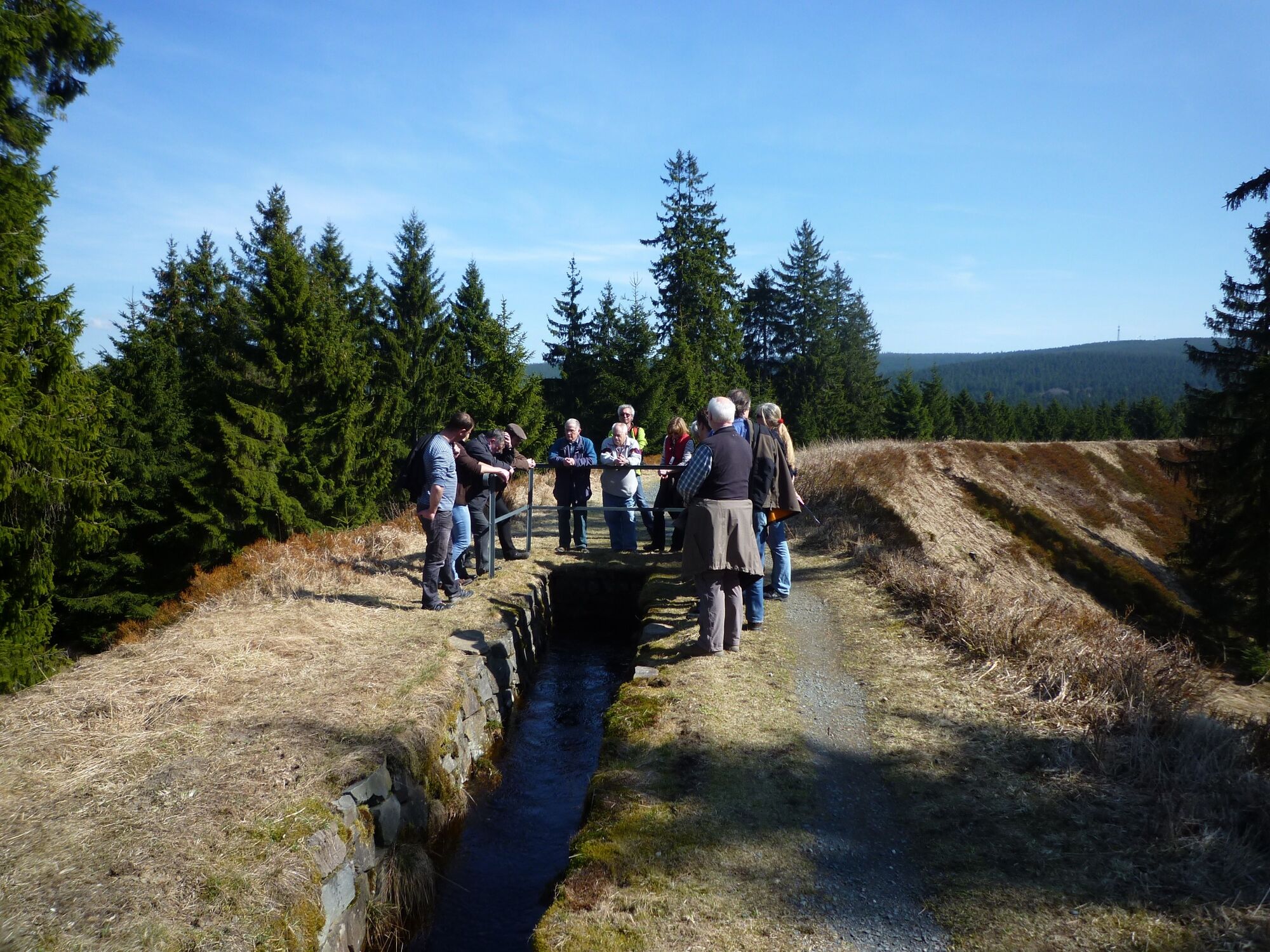
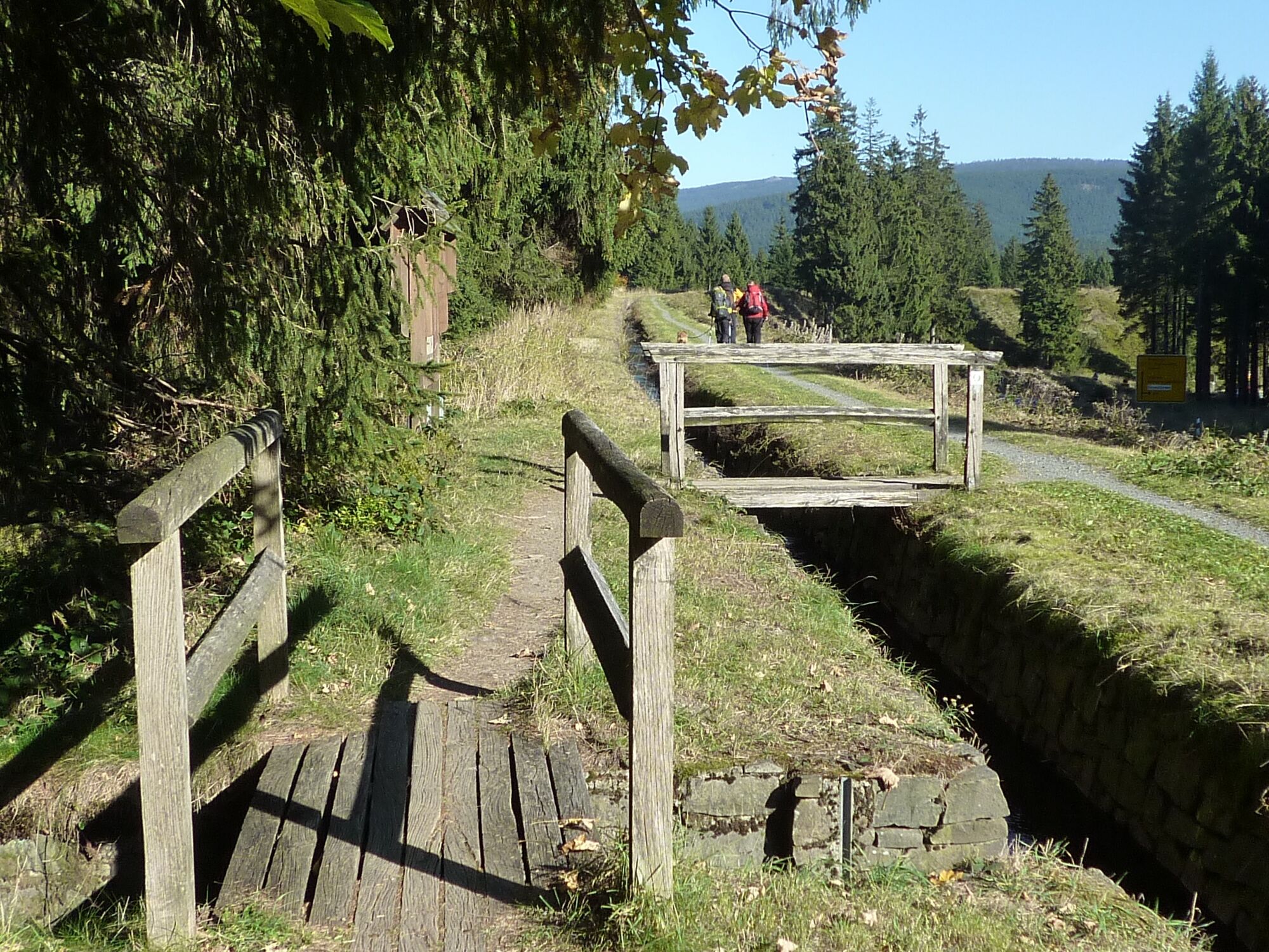
Hike over the Sperberhaier Damm aqueduct, one of the core parts of the Upper Harz water Management System. Restaurants invite you to take a break both at the start and at the end.
- Difficoltà
-
facile
- Valutazione
-
- Percorso
-
Dammhaus0,0 kmSperberhaier Dammhaus0,0 km
- La stagione migliore
-
genfebmaraprmaggiulugagosetottnovdic
- Punto più alto
- 584 m
- Destinazione
-
Polsterberger Hubhaus
- Profilo altimetrico
-
 © outdooractive.com
-

-
AutoreIl tour WatersideWalk Sperberhaier Damm è utilizzato da outdooractive.com fornito.
GPS Downloads


Info generali
Punto di ristoro
Culturale/Storico
Altri tour nelle regioni
-
Der Harz/ Niedersachsen
1061
-
Oberharz
685
-
Altenau im Harz
344