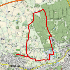
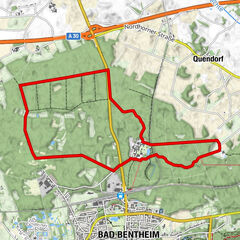
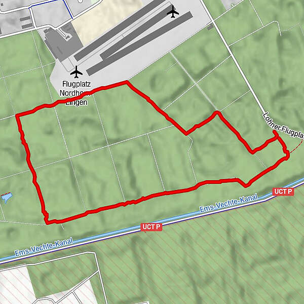
Dati percorsi
5,63km
27
- 31m
10hm
9hm
01:17h
- Descrizione rapida
-
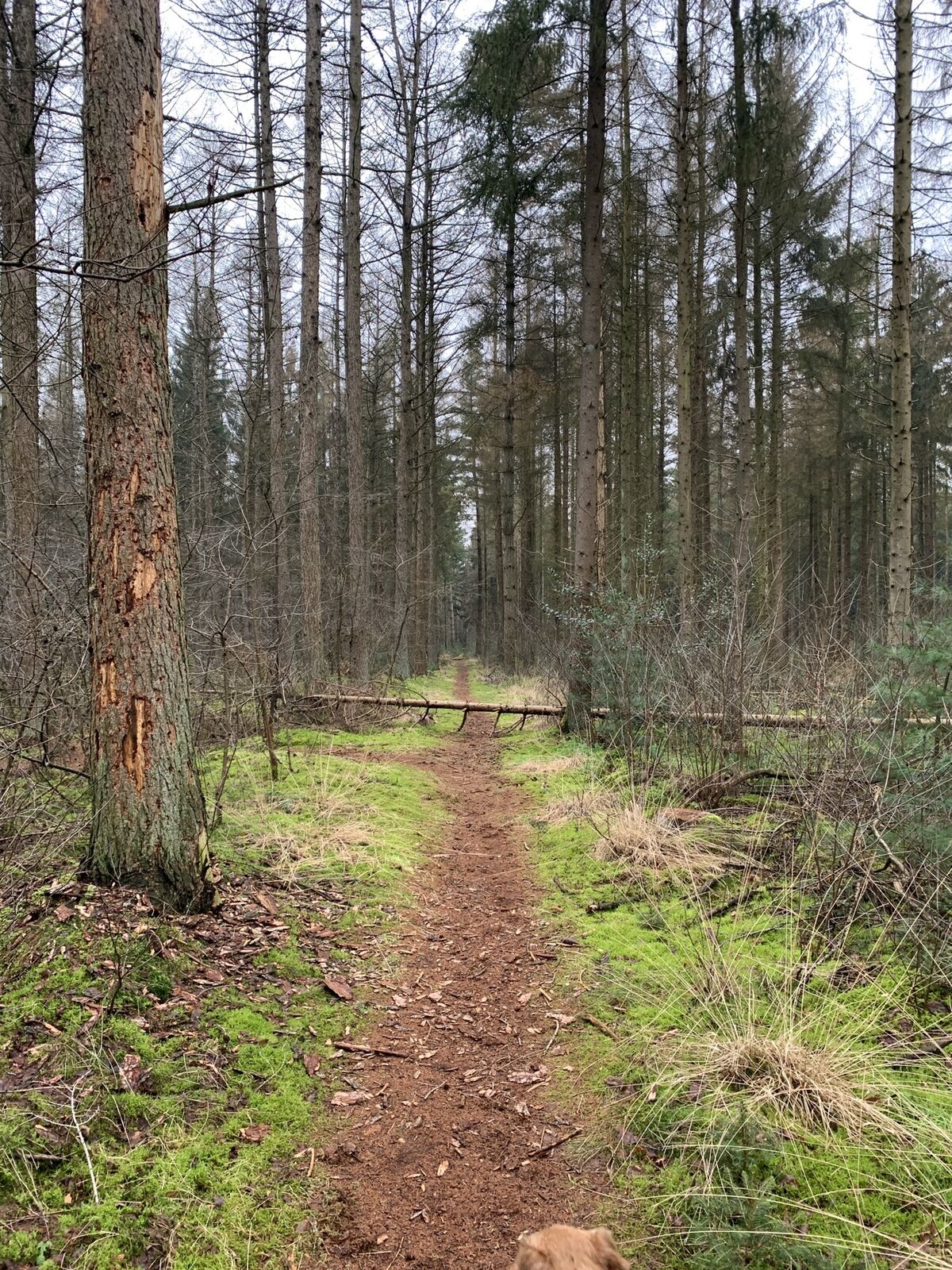
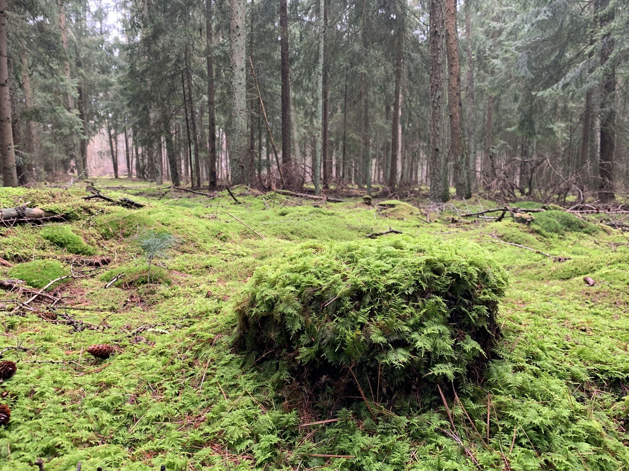
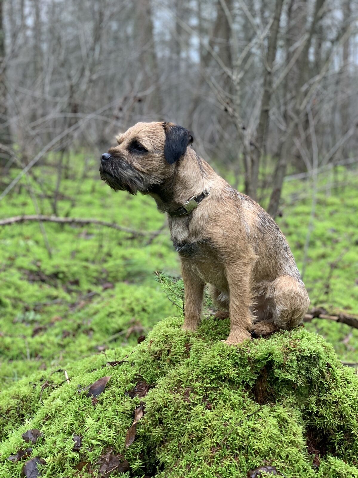
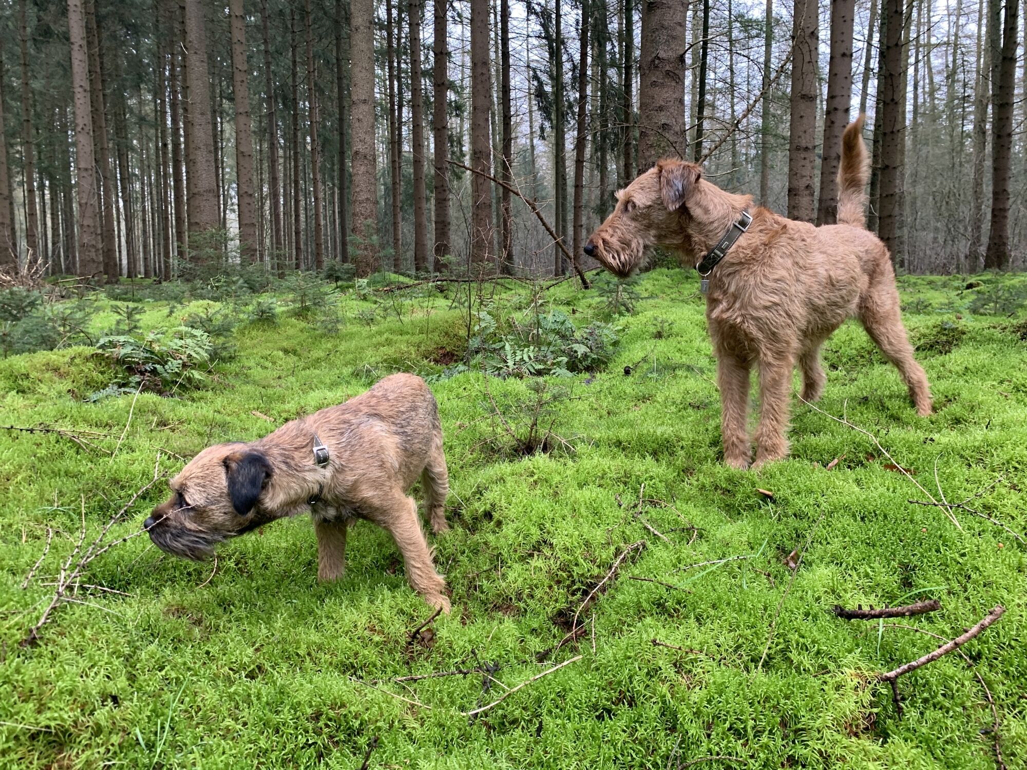
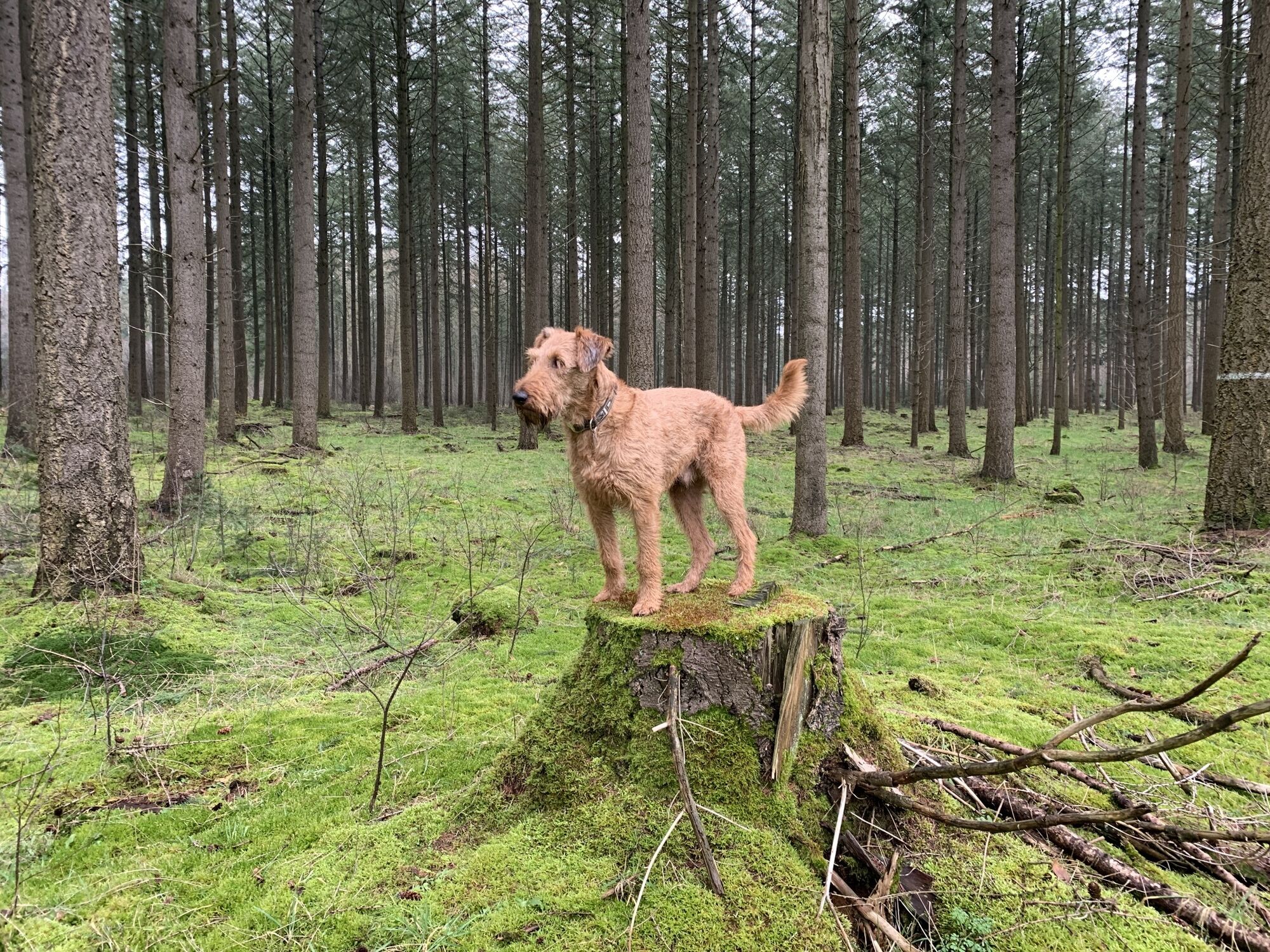
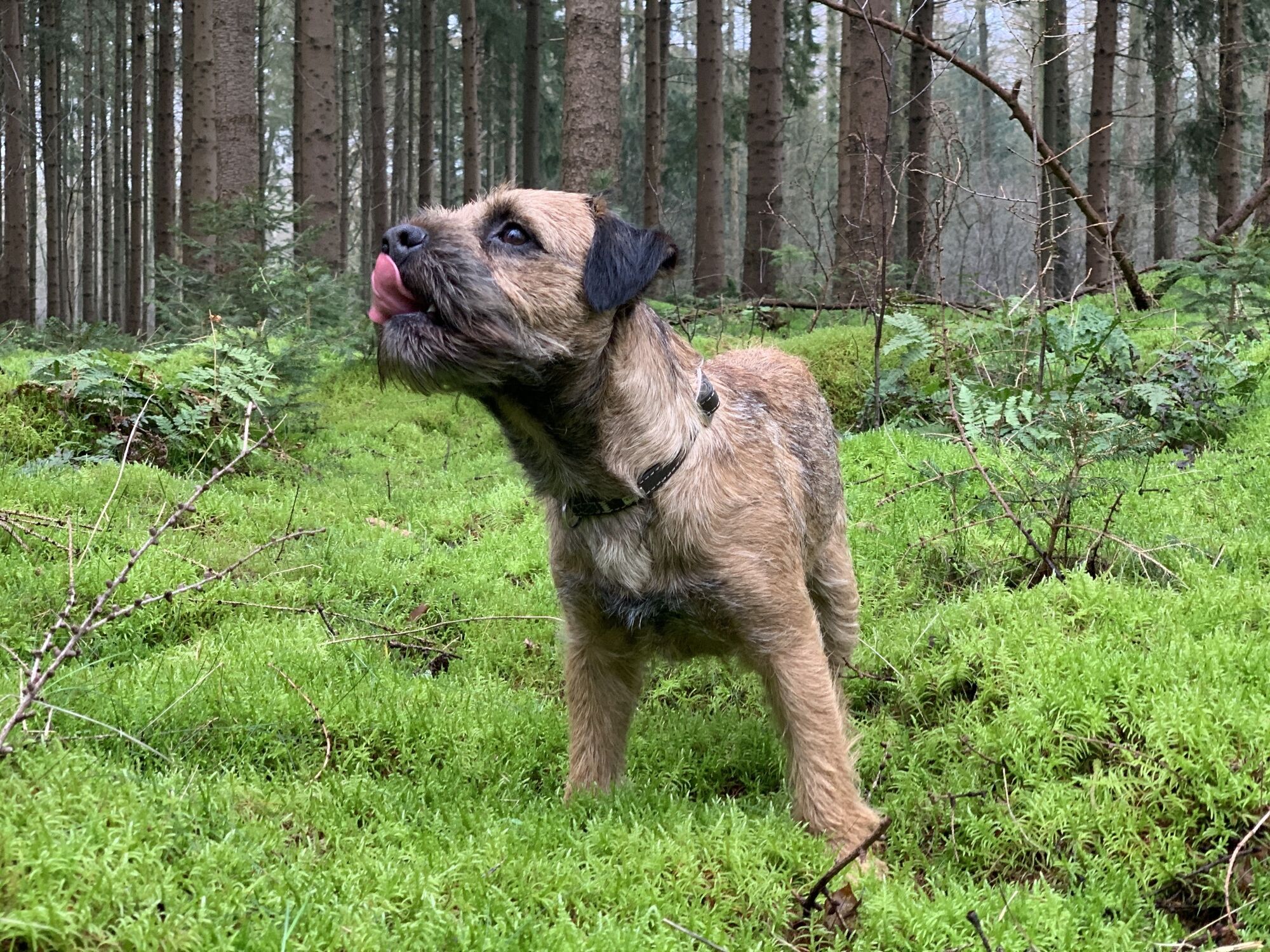
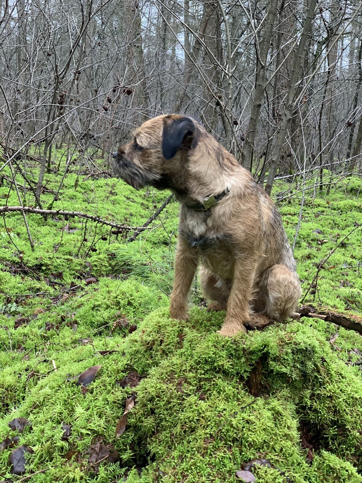
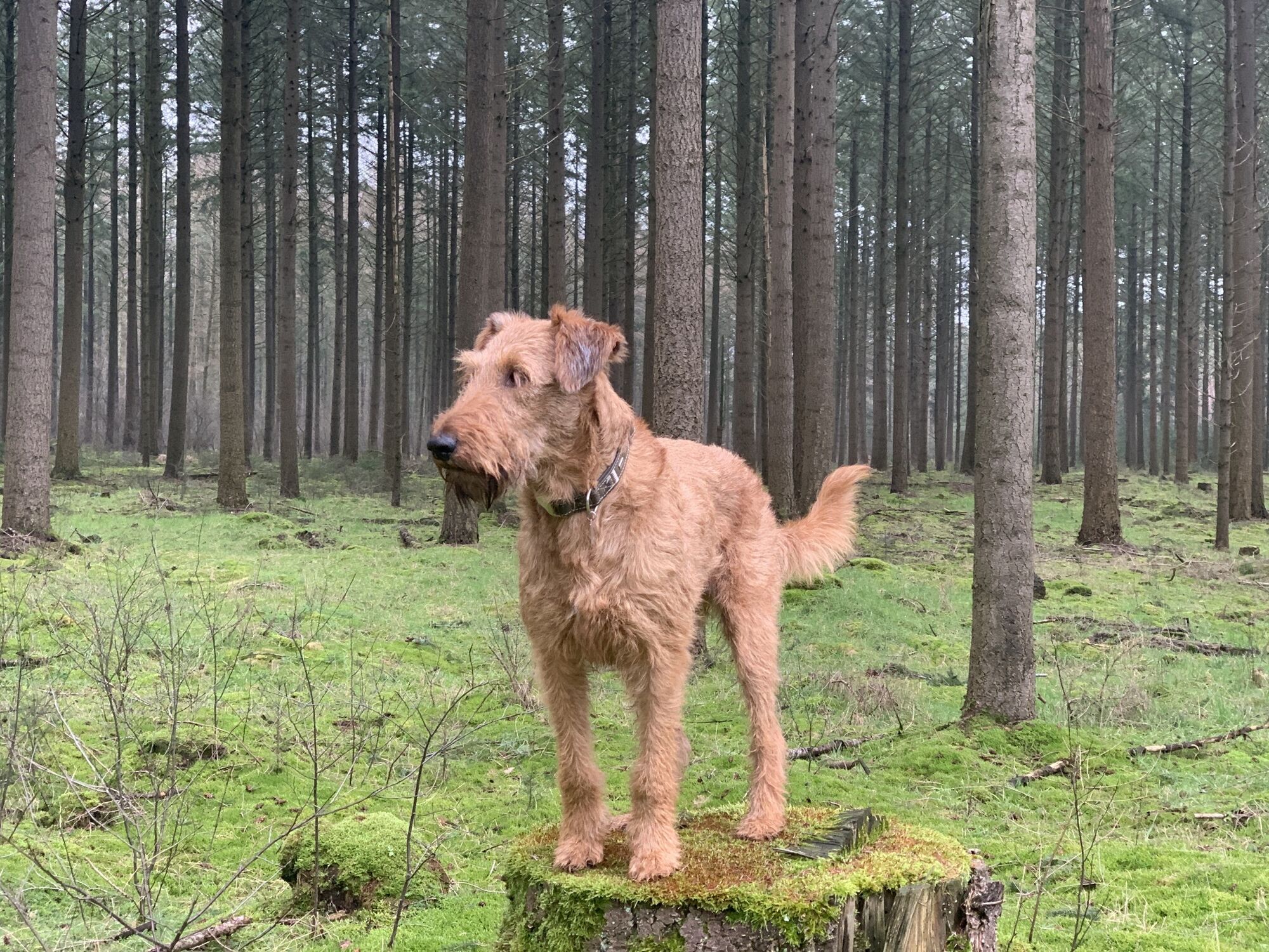
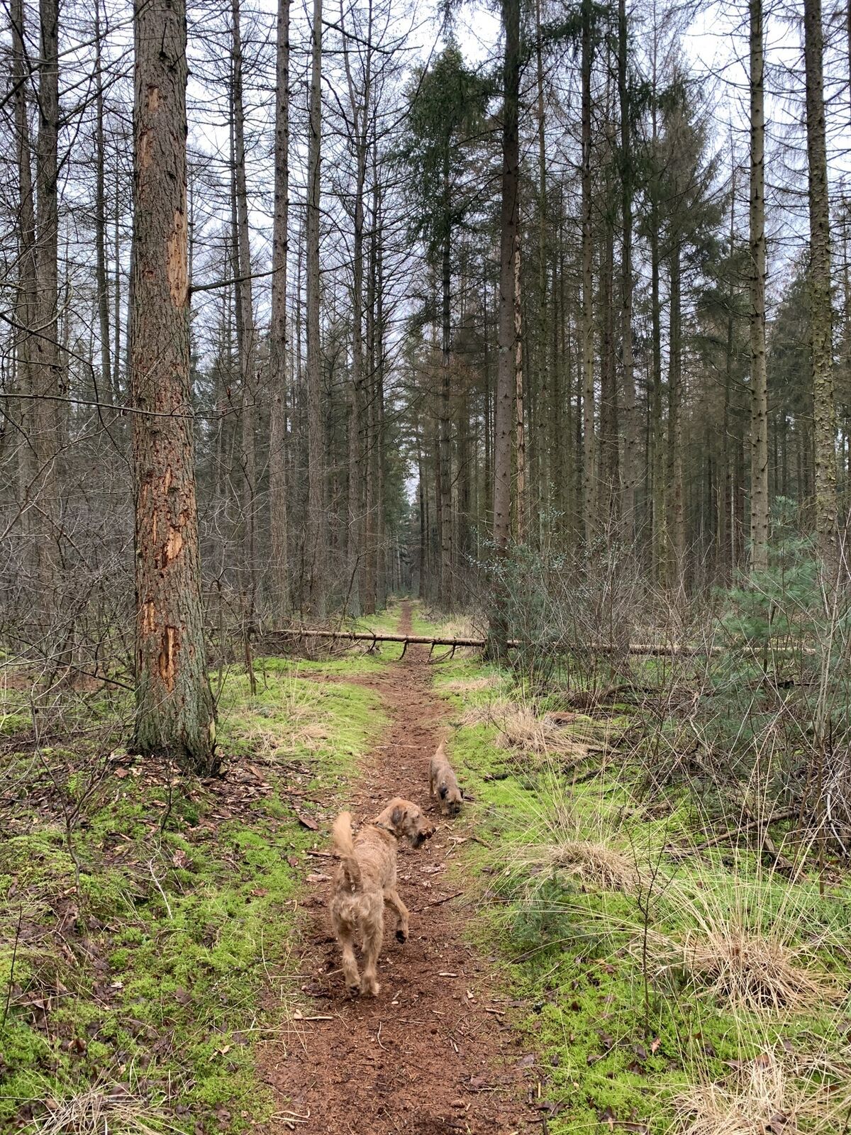
Moosrunde bei Klausheide
- Difficoltà
-
facile
- Valutazione
-
- Punto più alto
- 31 m


GPS Downloads


Altri tour nelle regioni
-
Grafschaft Bentheim
112
-
Wietmarschen
13