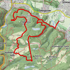
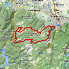
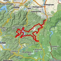
© Harz: Magische Gebirgswelt - Maurice Schwamberger
- Descrizione rapida
-
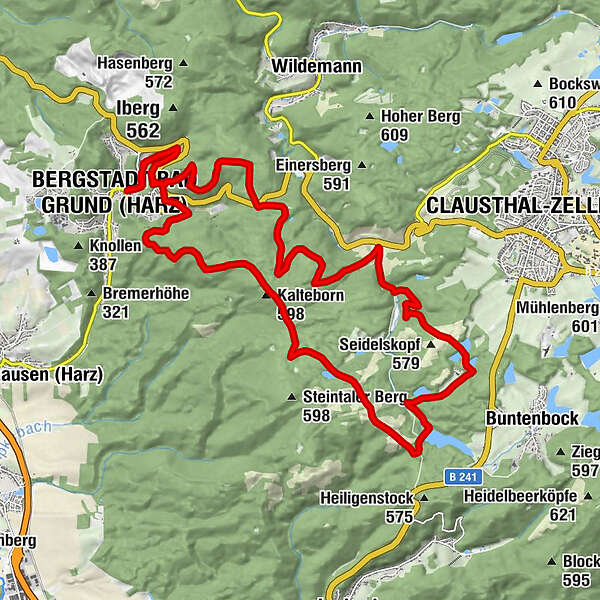
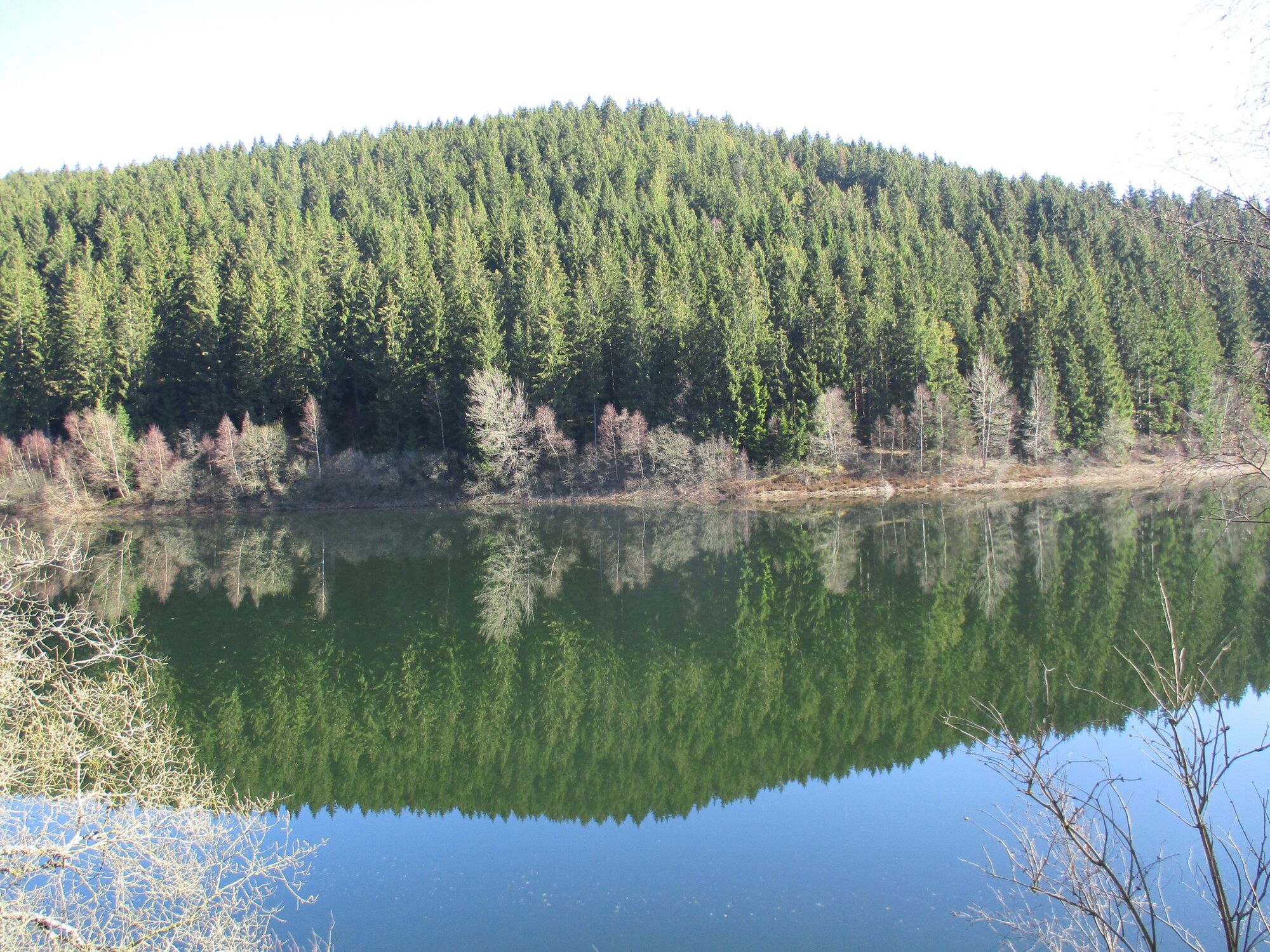
Die Route führt von den Laubwäldern des südlichen Harzrandes hinauf auf die Clausthaler Hochfläche.
- Difficoltà
-
intermedio
- Valutazione
-
- Percorso
-
Bergstadt Bad Grund (Harz) (358 m)Kalteborn (598 m)6,5 kmBergstadt Bad Grund (Harz) (358 m)25,4 km
- La stagione migliore
-
genfebmaraprmaggiulugagosetottnovdic
- Punto più alto
- 595 m
- Profilo altimetrico
-
 © outdooractive.com
- Autore
-
Il tour BG2 Dreimaldrei-Teiche-Tour è utilizzato da outdooractive.com fornito.
GPS Downloads


Info generali
Punto di ristoro
Altri tour nelle regioni
-
Der Harz/ Niedersachsen
122
-
Oberharz
111
-
Wildemann
36