

© @SW - Picasa

© @SW - Picasa

Dati percorsi
3,18km
207
- 298m
99hm
75hm
00:47h

- Descrizione rapida
-
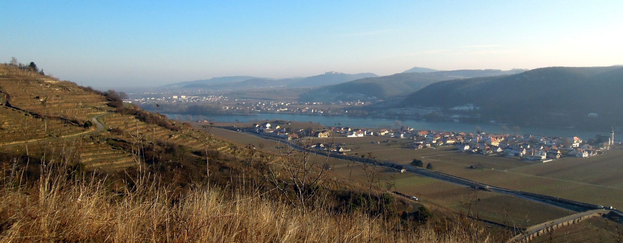
Landschaftlich wunderbare Rundwanderung im "Naturschutzgebiet Höhereck"
- Difficoltà
-
facile
- Valutazione
-
- Punto di partenza
-
Bahnübergang etwa 300m östlich des Franzosendenkmals, siehe Karte
- Percorso
-
Franzosendenkmal1,0 kmHöhereck2,3 km
- La stagione migliore
-
genfebmaraprmaggiulugagosetottnovdic
- Punto più alto
- 298 m
- Destinazione
-
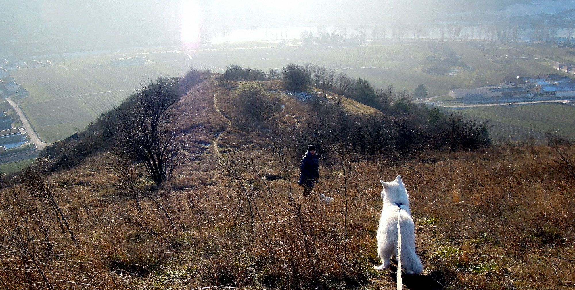
Höhereck Gipfel
- Riposo/Ritiro
-
Rastplatz am Gipfel, jederorts dazwischen
- Cartine
-
Bergfex, OSM usw.

- Fonte
- Walter Schneeweiss
GPS Downloads


Condizioni dei sentieri
Asfalto
(40)
Ghiaia
Prato
Foresta
(45)
Roccia
(15)
Esposta
Altri tour nelle regioni
-
Donau Niederösterreich
2289
-
Dunkelsteinerwald
1373
-
Dürnstein in der Wachau
719


