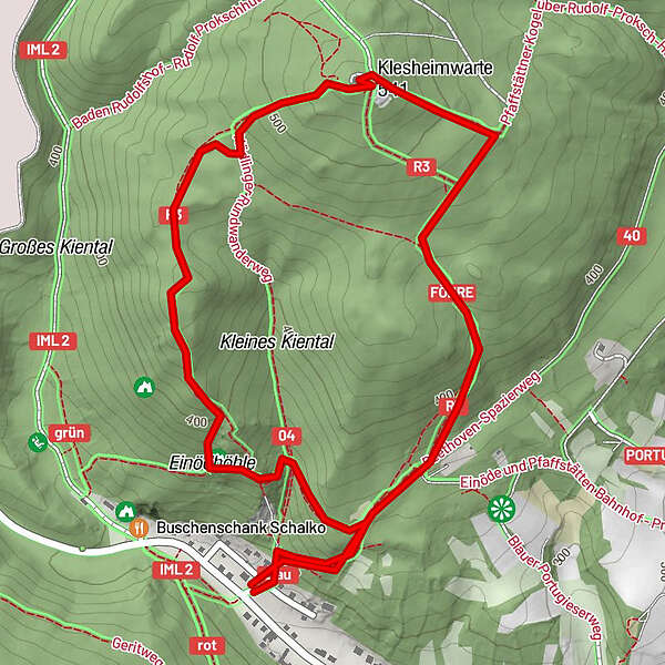
Dati percorsi
3,36km
297
- 518m
209hm
208hm
00:50h
- Descrizione rapida
-
von Einöd auf den Pfaffstädtner Kogel einmal anders
- Difficoltà
-
intermedio
- Valutazione
-
- Punto di partenza
-
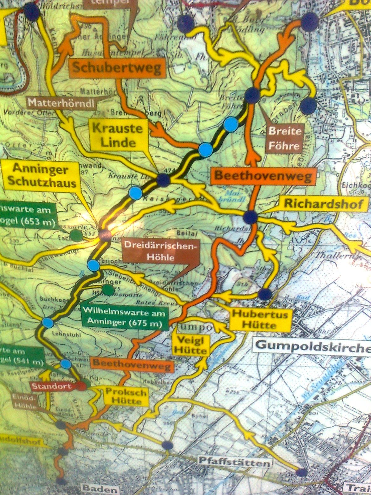
kl. Parkplatz in Einöd
- Percorso
-
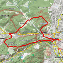
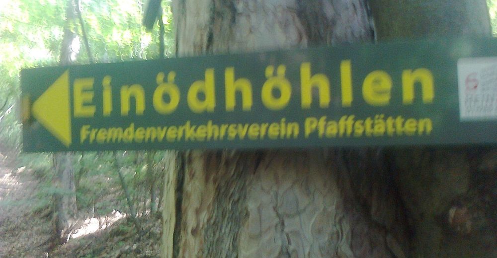
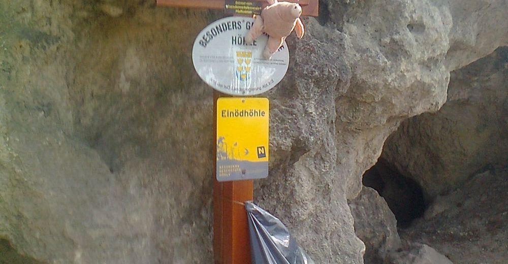
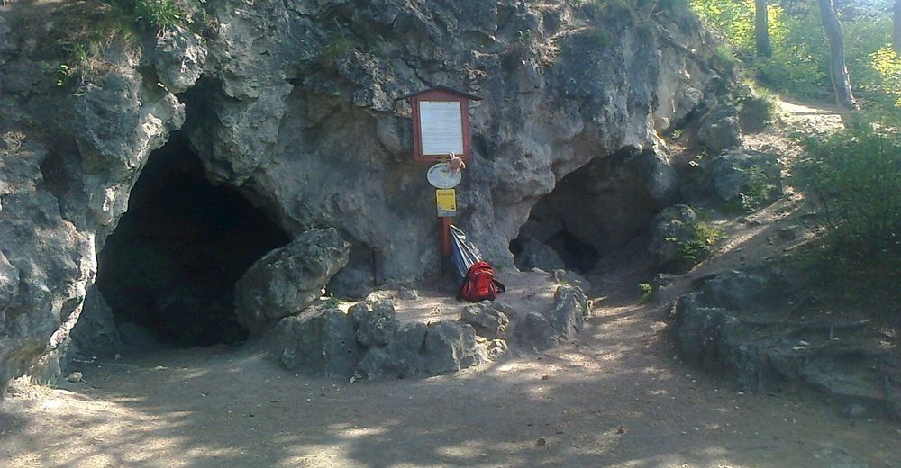
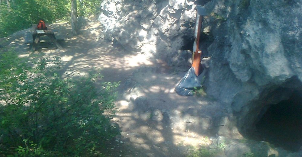
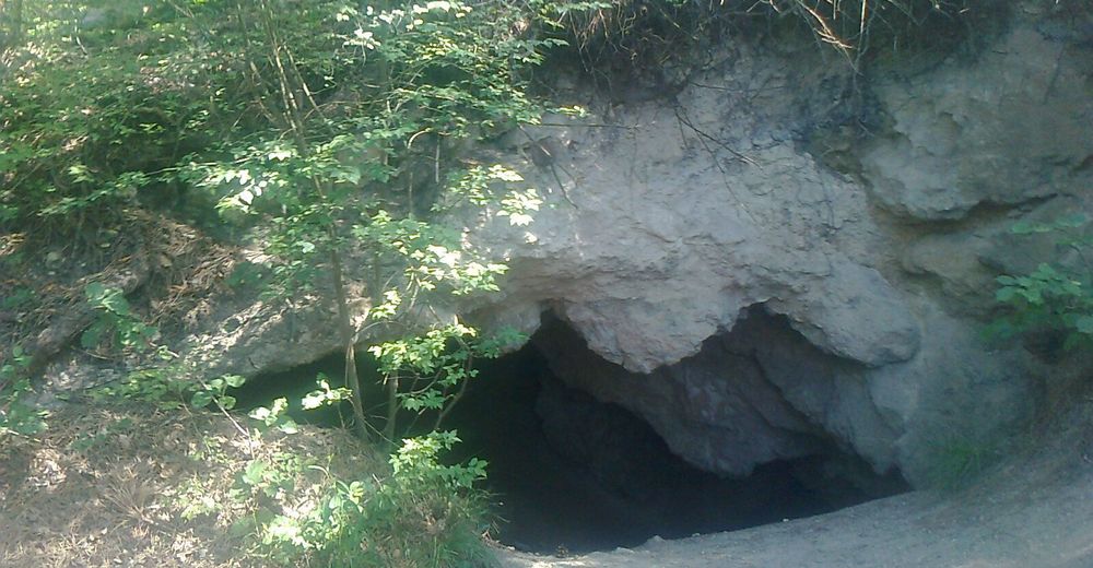
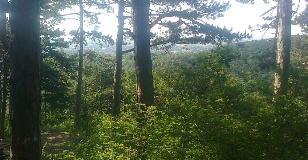
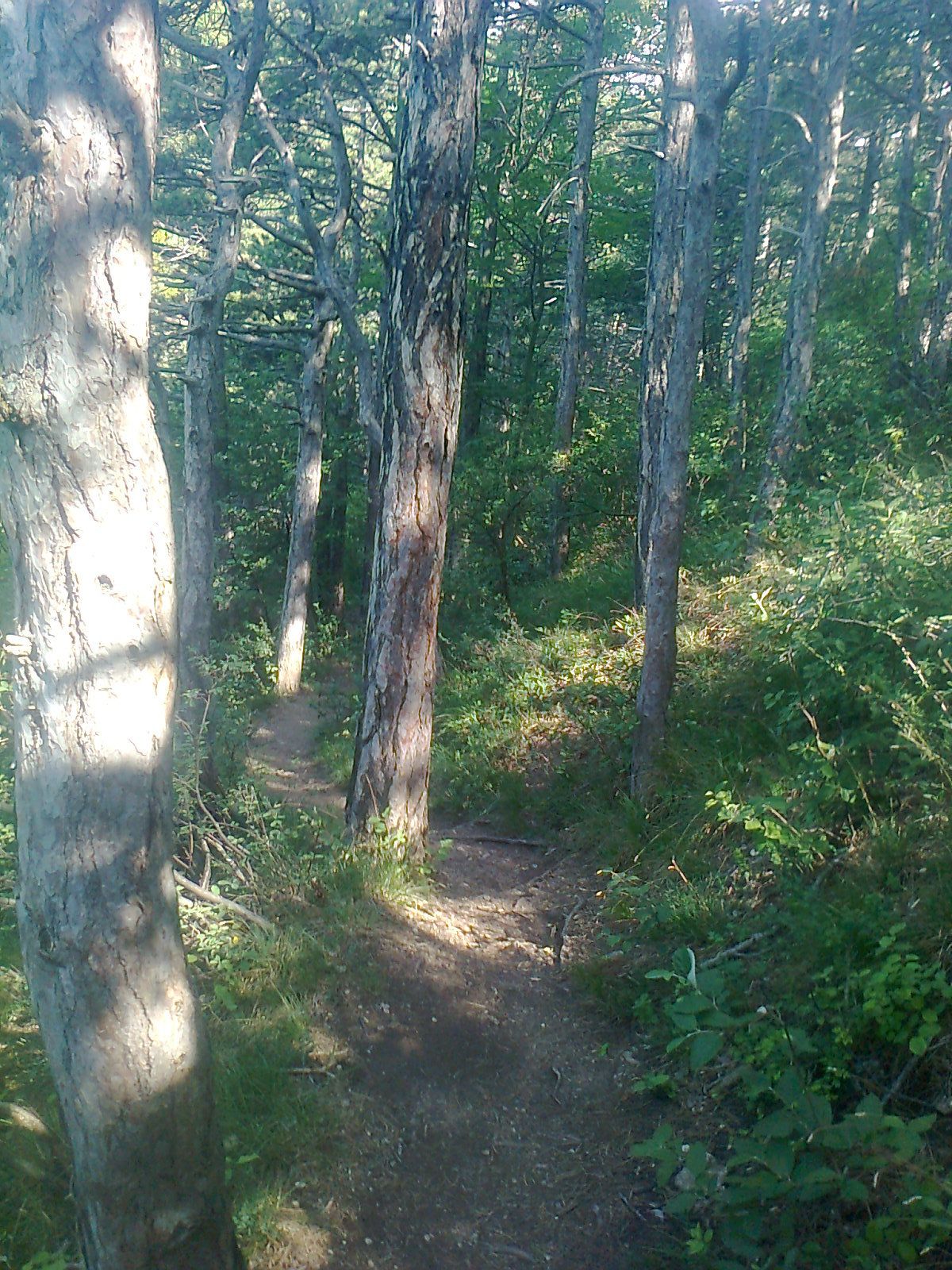
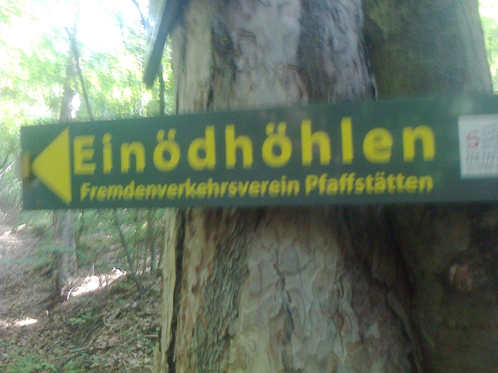
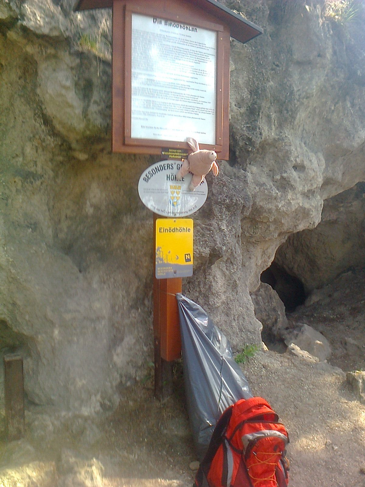
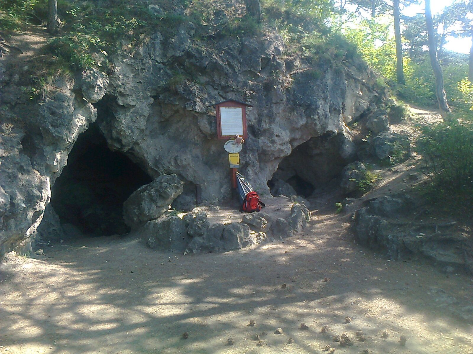
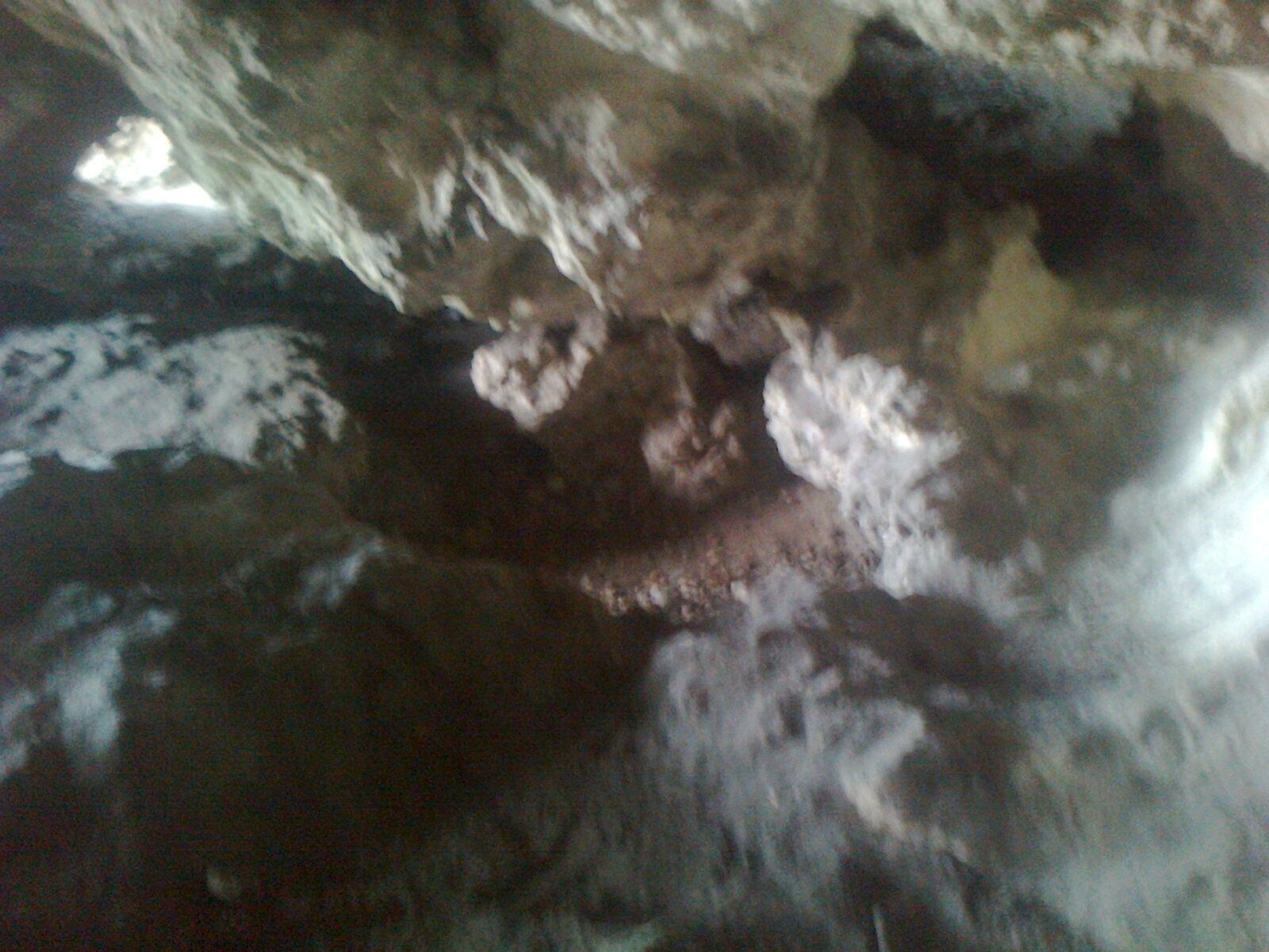
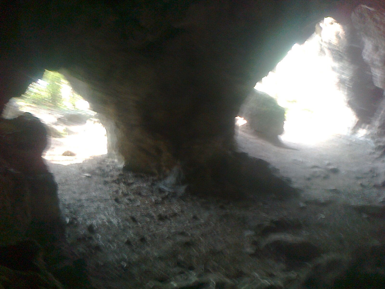
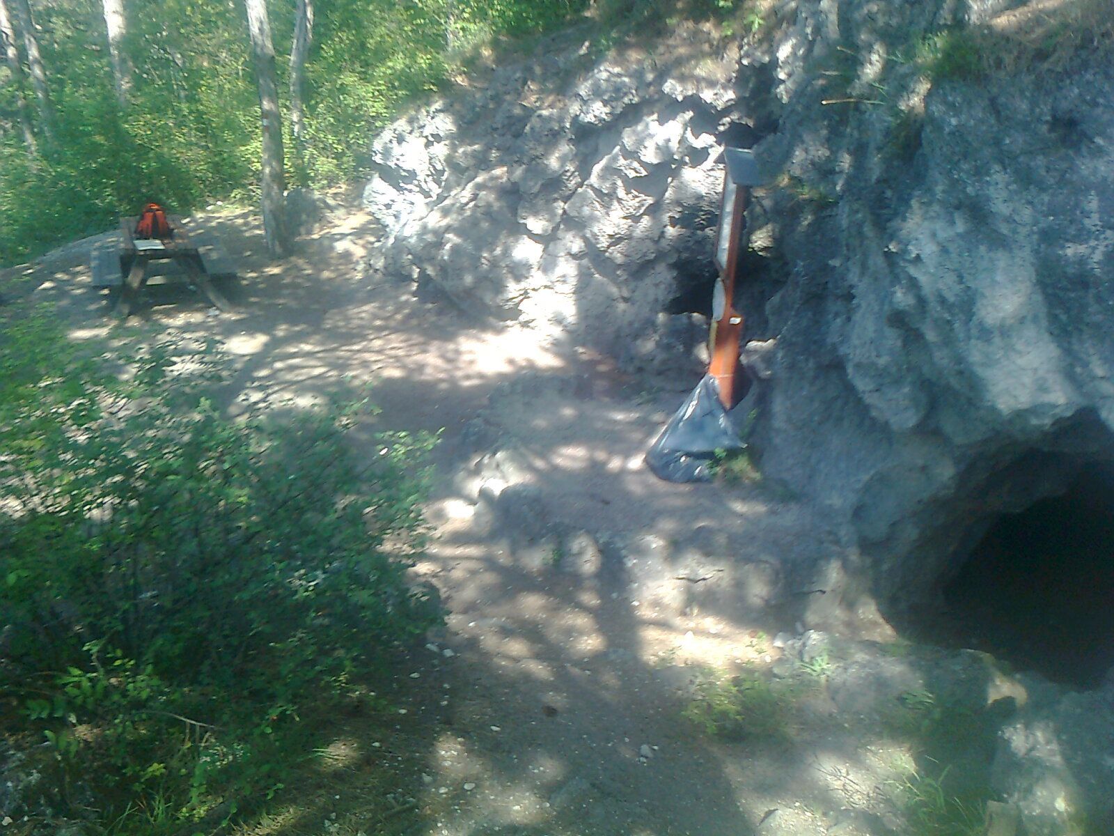
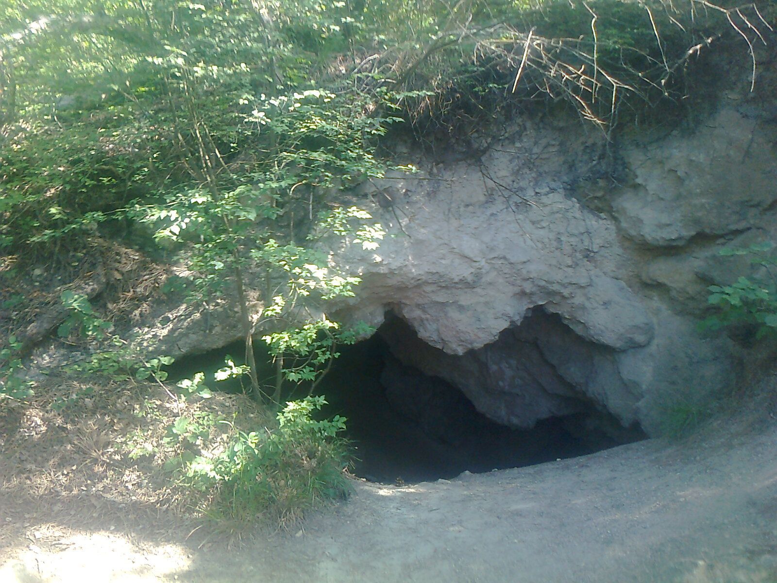
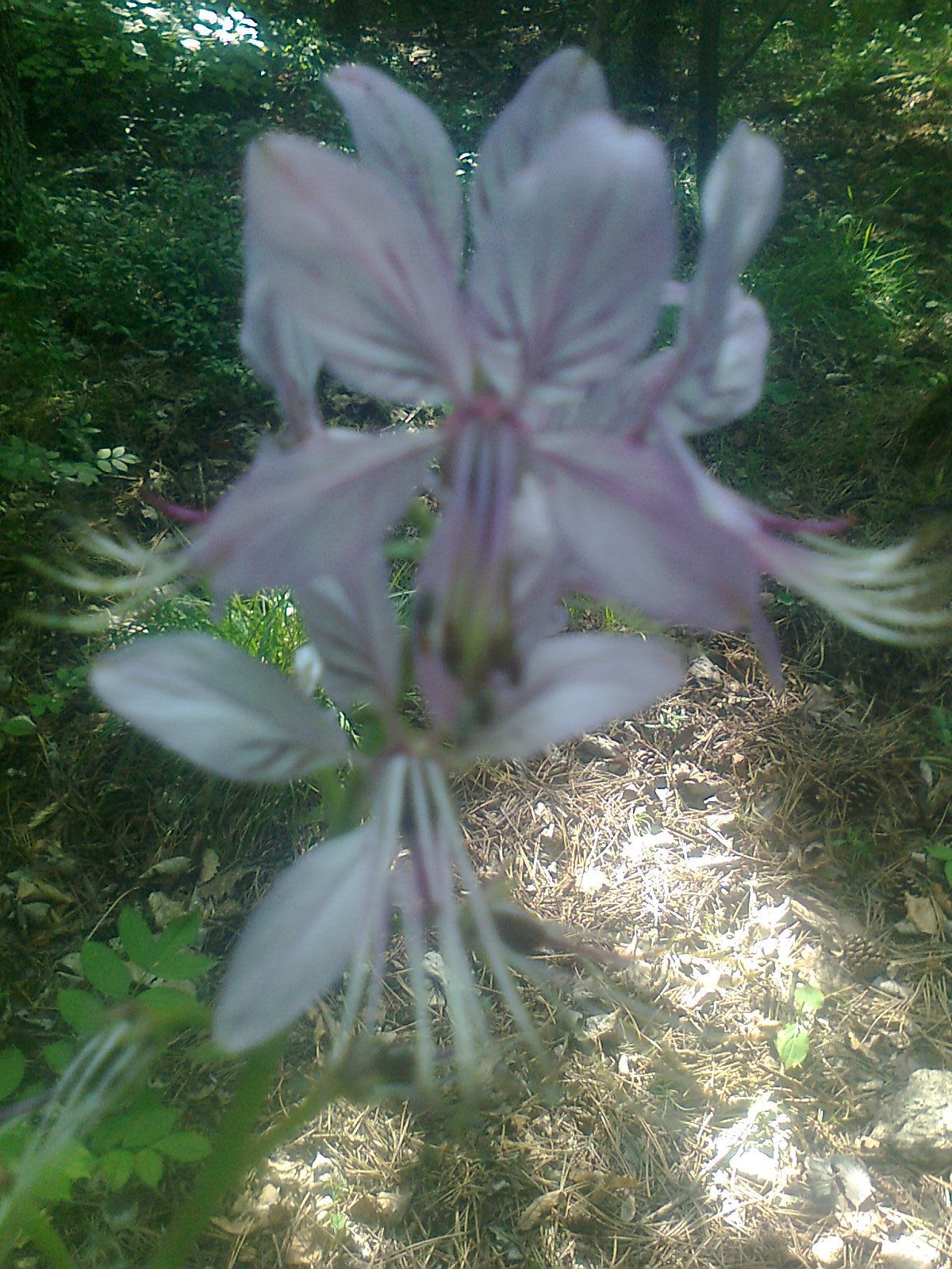
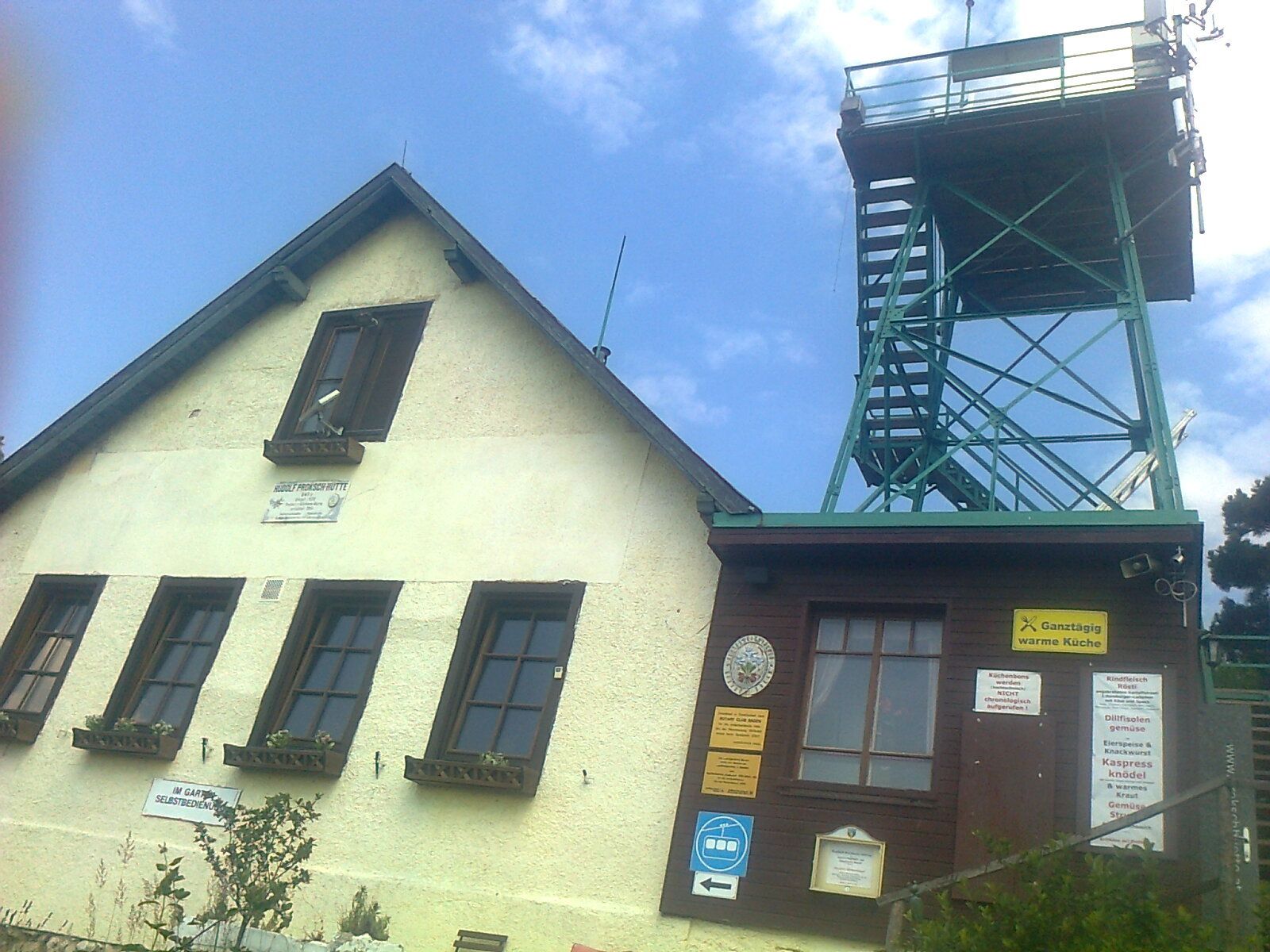
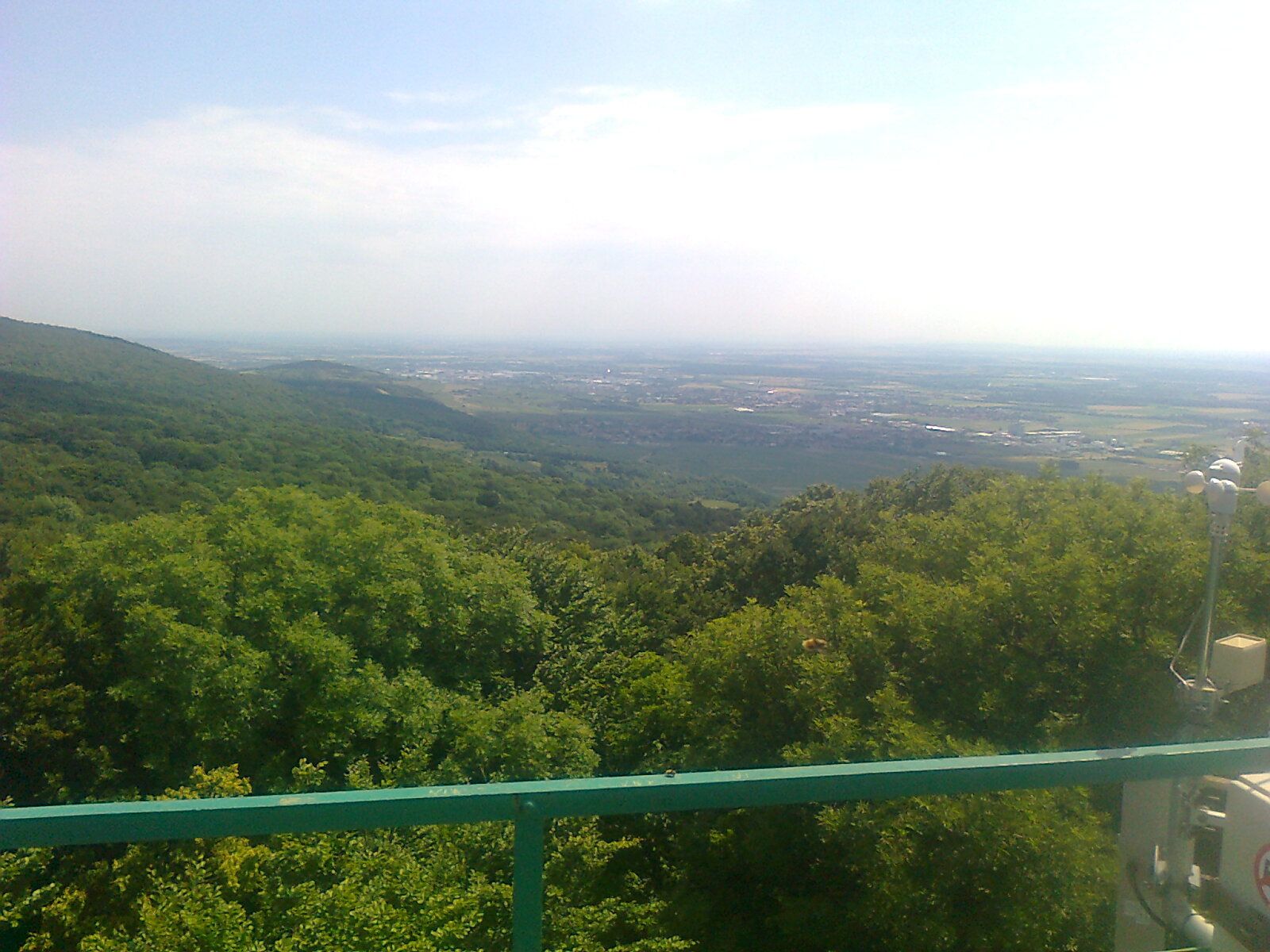
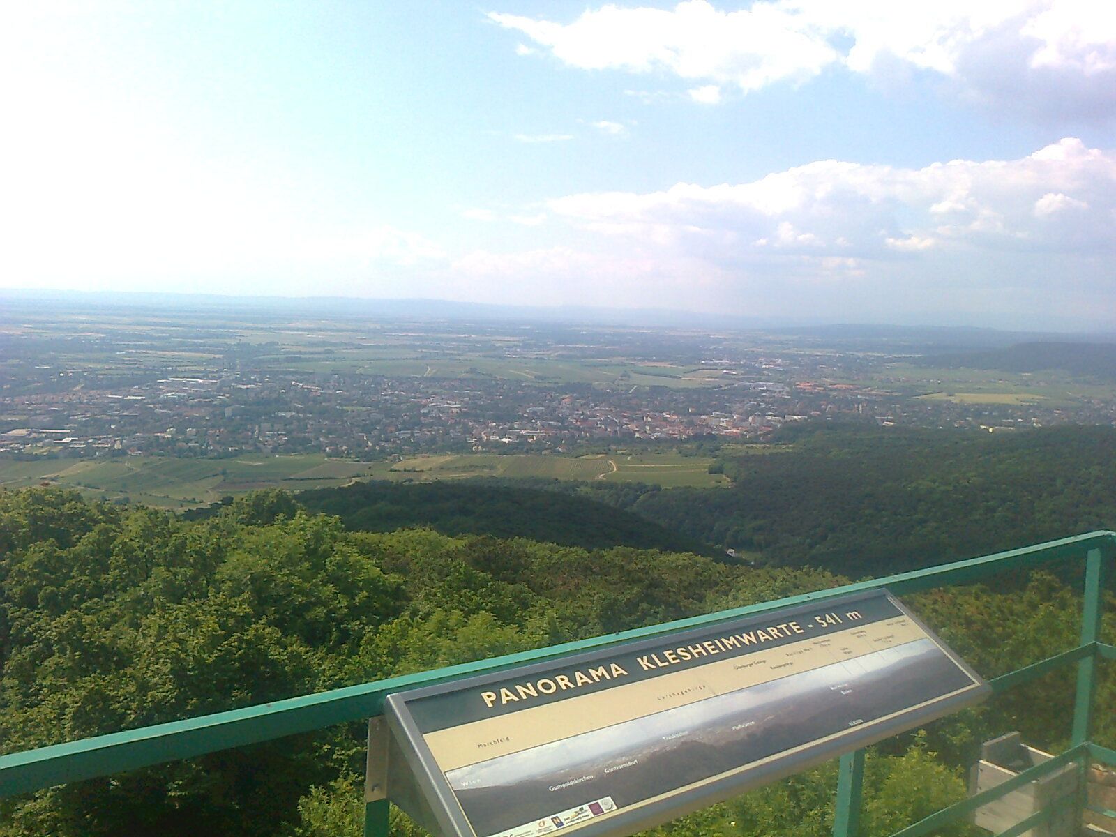
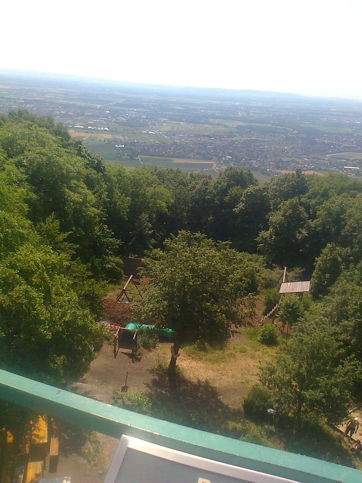
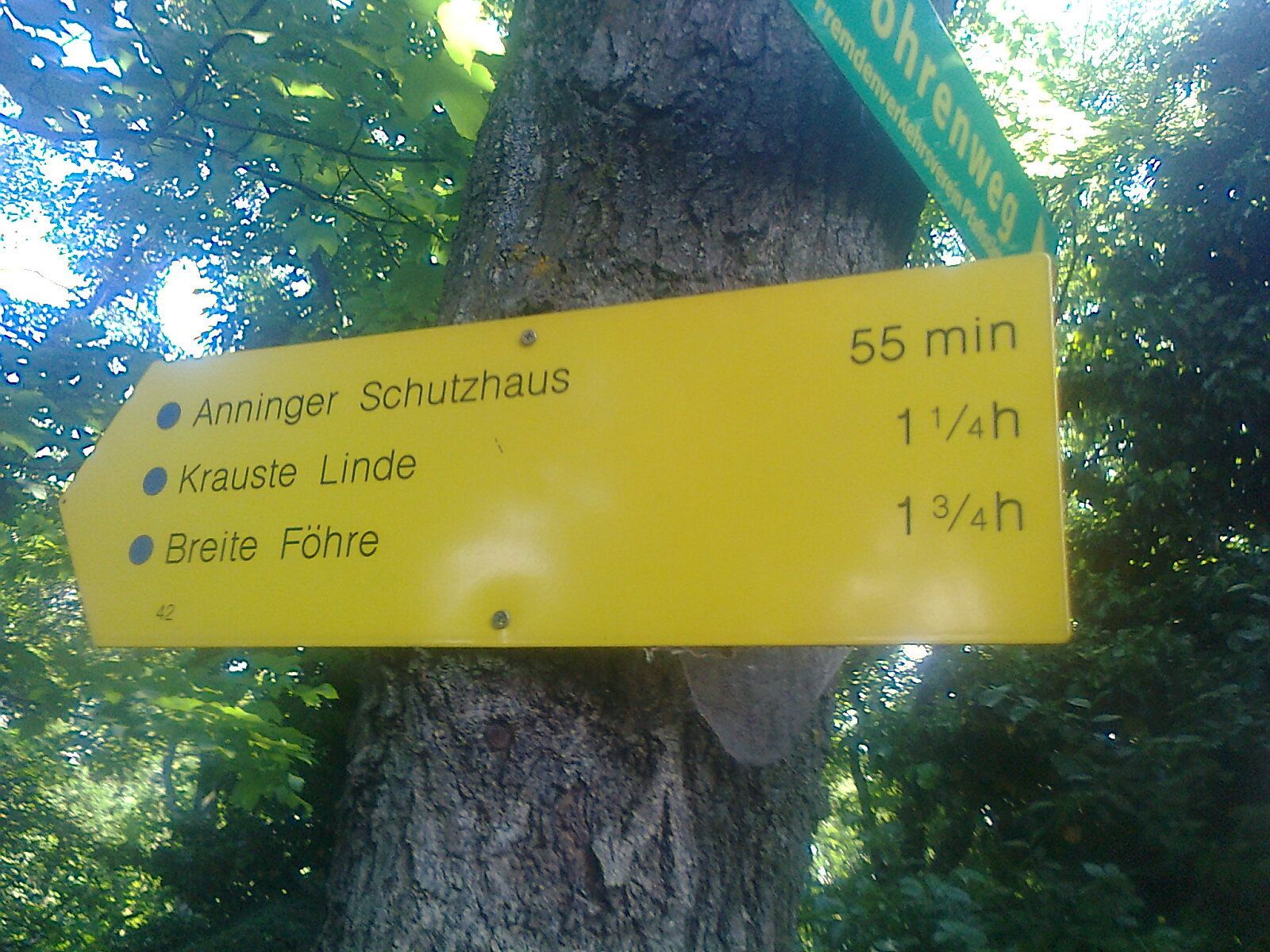
BadenEinöde0,0 kmWaldspielplatz Fledermaus-Wiese0,1 kmEinödhöhle0,6 kmStolhöhlen0,7 kmElfenhöhle0,7 kmPfaffstättner Kogel (550 m)1,8 kmKlesheimwarte1,8 kmRudolf-Proksch-Hütte1,8 km
- La stagione migliore
-
genfebmaraprmaggiulugagosetottnovdic
- Punto più alto
- 518 m
- Destinazione
-
Klesheimwarte
- Riposo/Ritiro
-
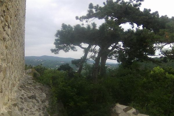
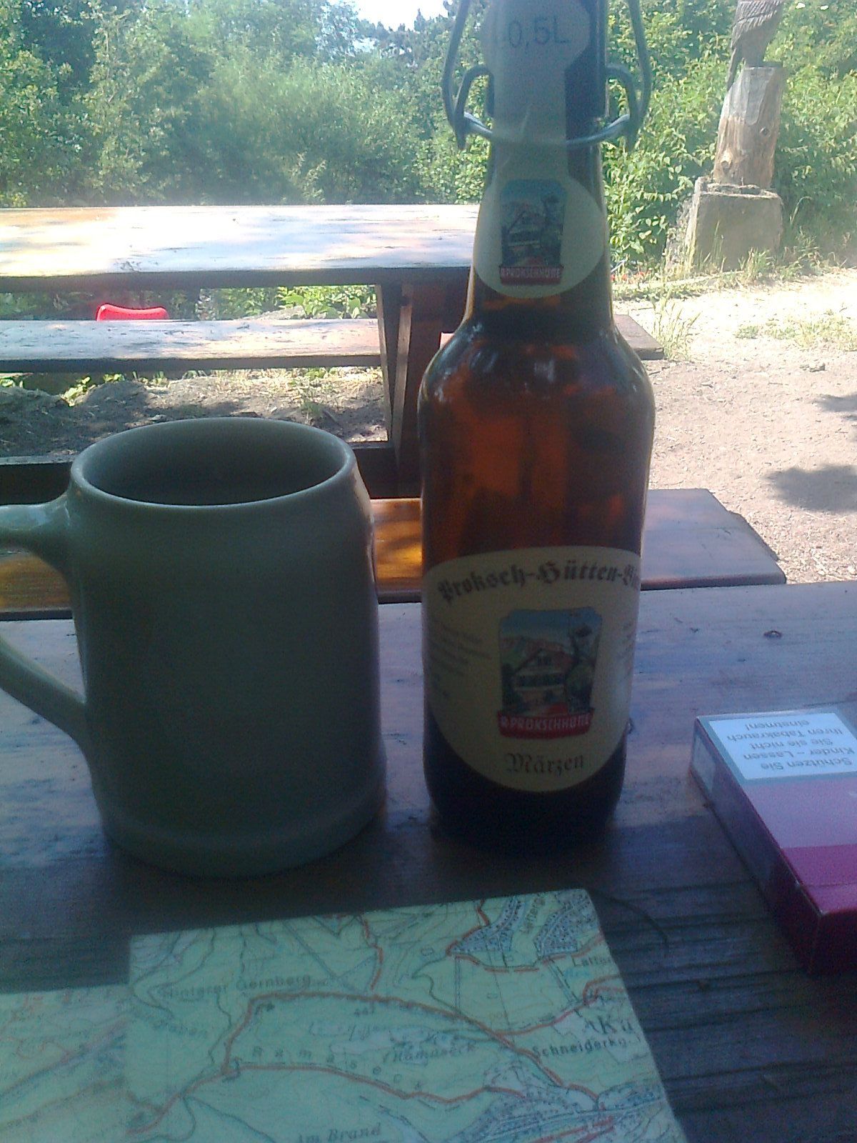
Rudolf Proksch Hütte
- Cartine
-
KOMPAS 209

GPS Downloads


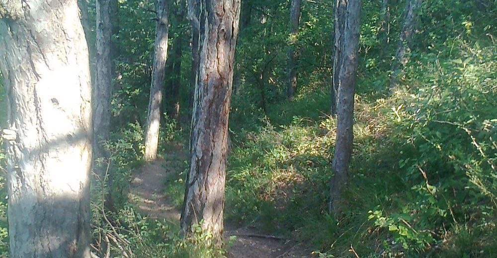
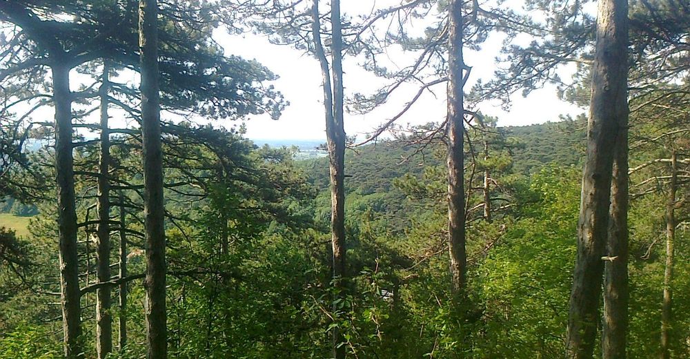
Condizioni dei sentieri
Asfalto
Ghiaia
Prato
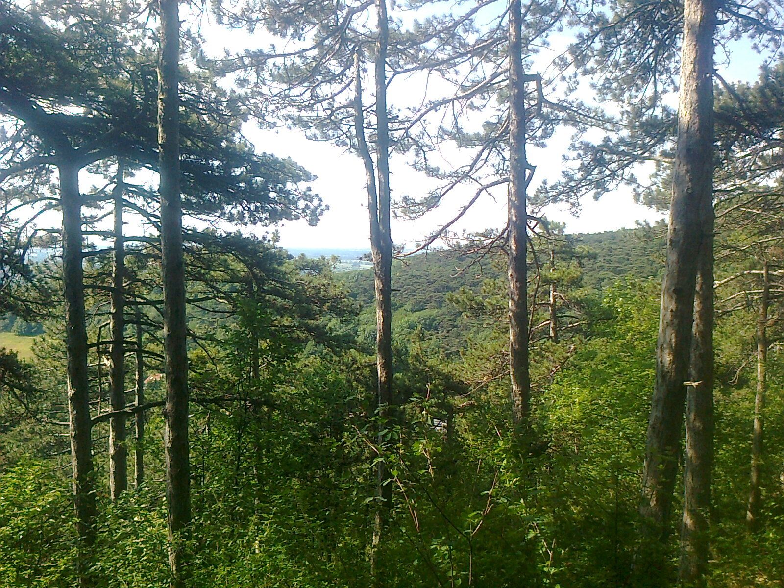
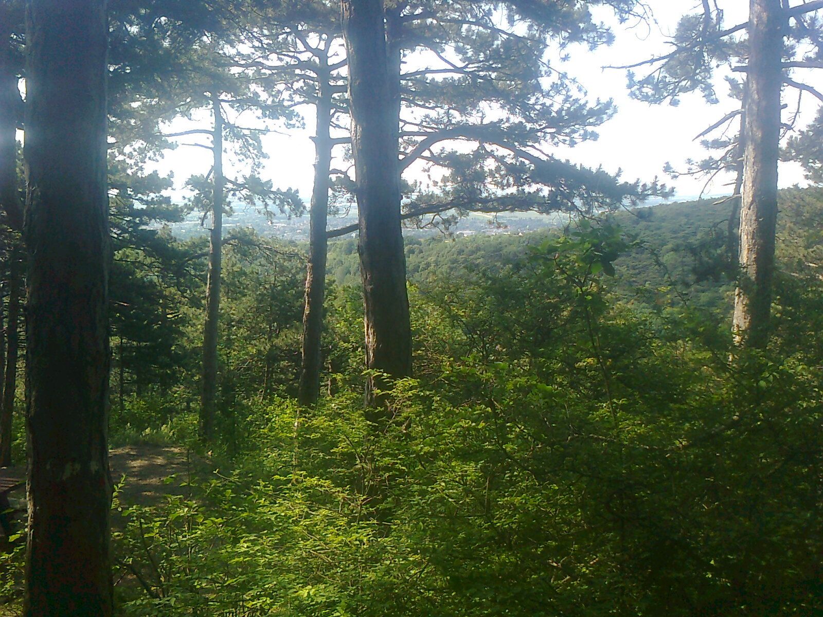
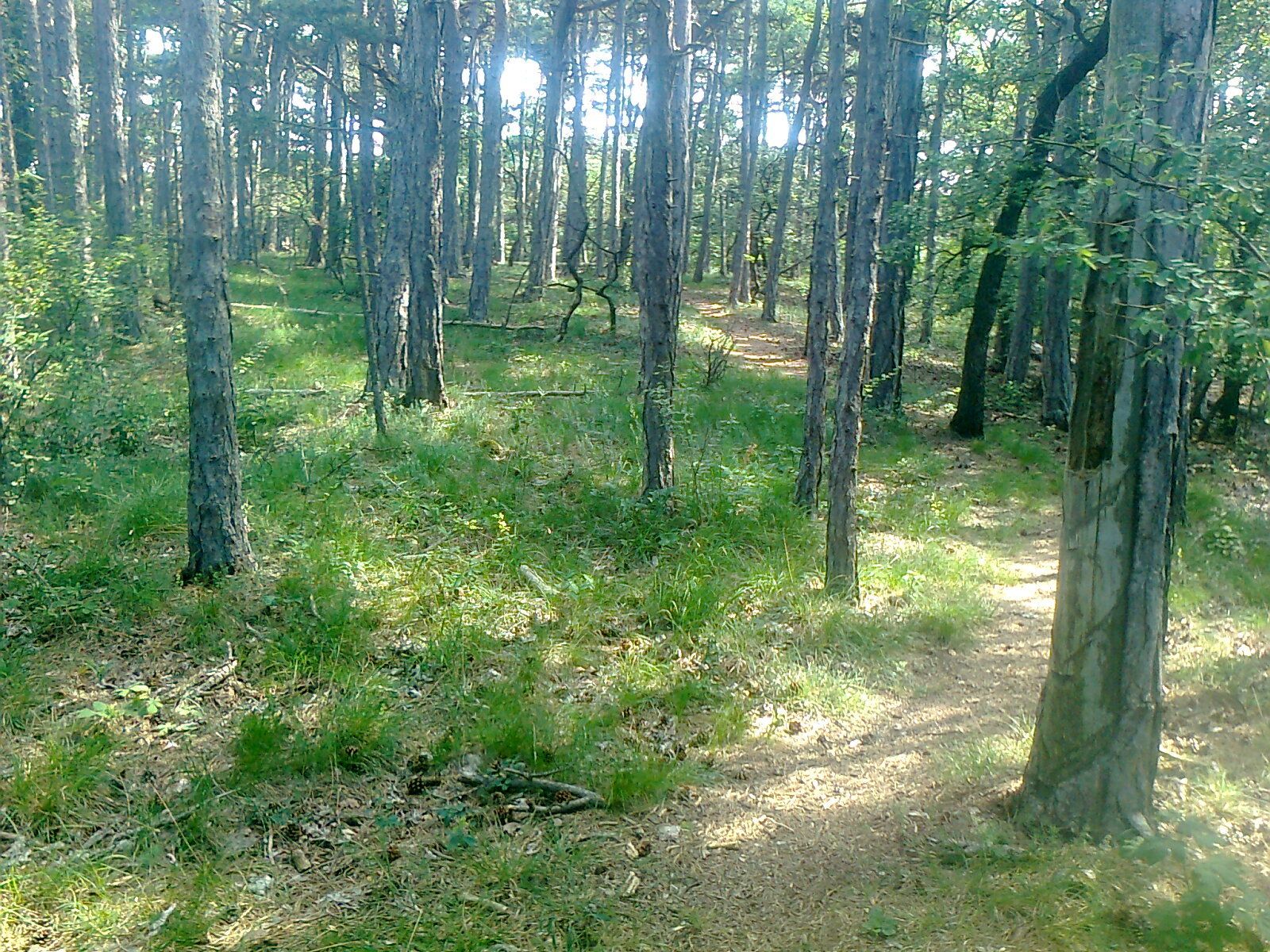
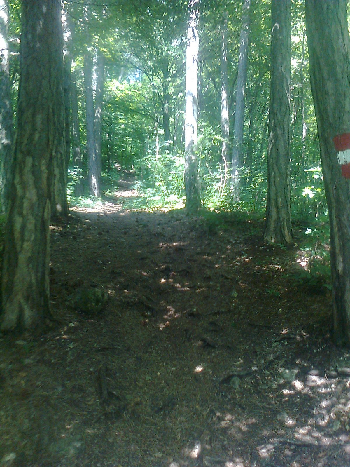
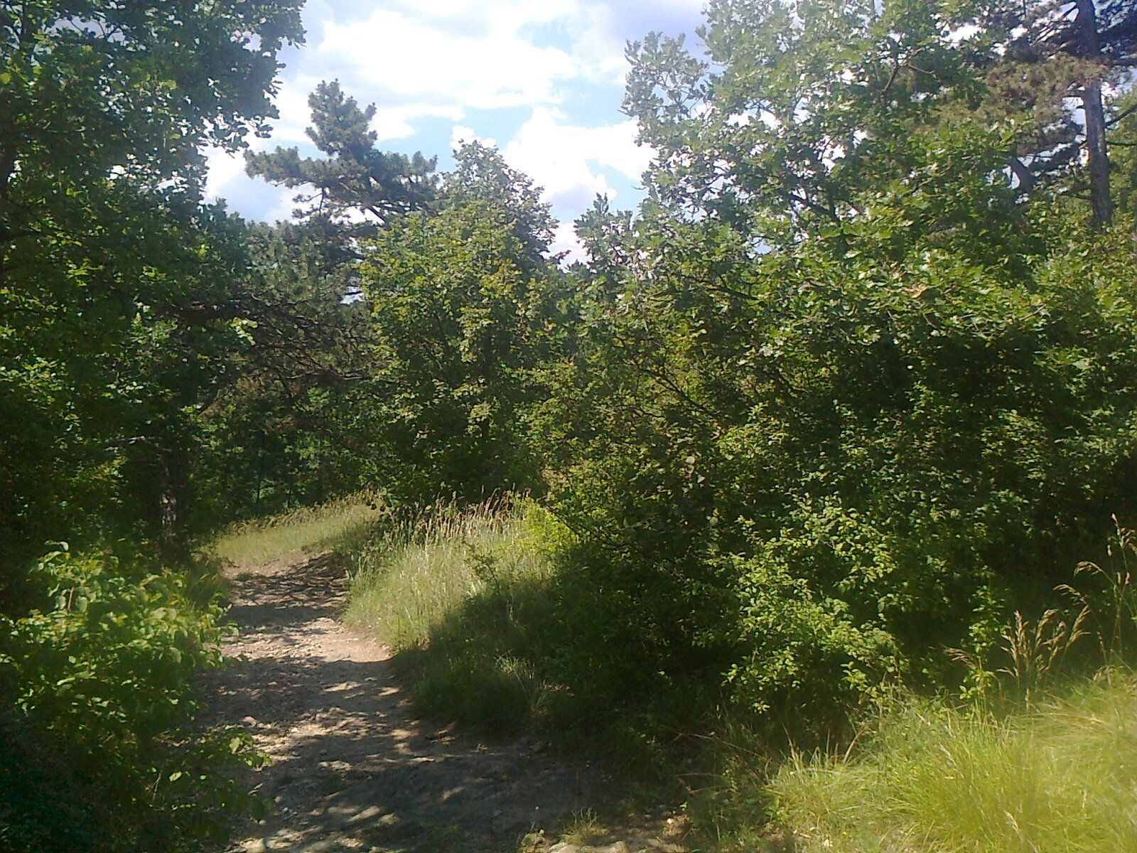
Foresta
Roccia
Esposta
Altri tour nelle regioni
-
Wienerwald
4219
-
Wien und Umgebung
2481
-
Baden bei Wien
801