Picasa


Picasa

Picasa
Dati percorsi
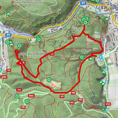
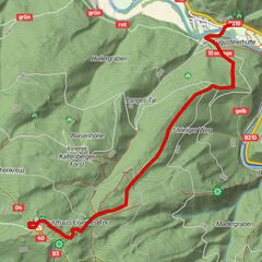
12,63km
262
- 676m
534hm
533hm
03:55h
- Descrizione rapida
-
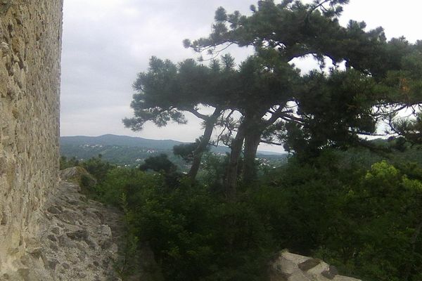
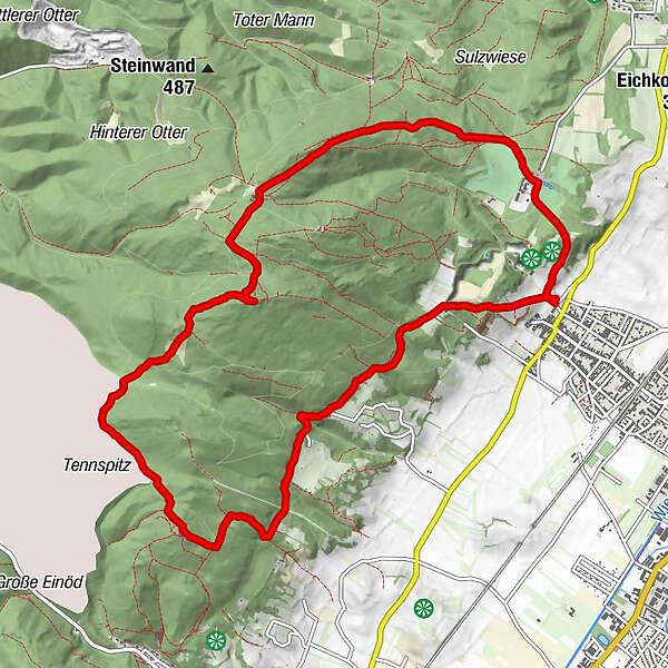
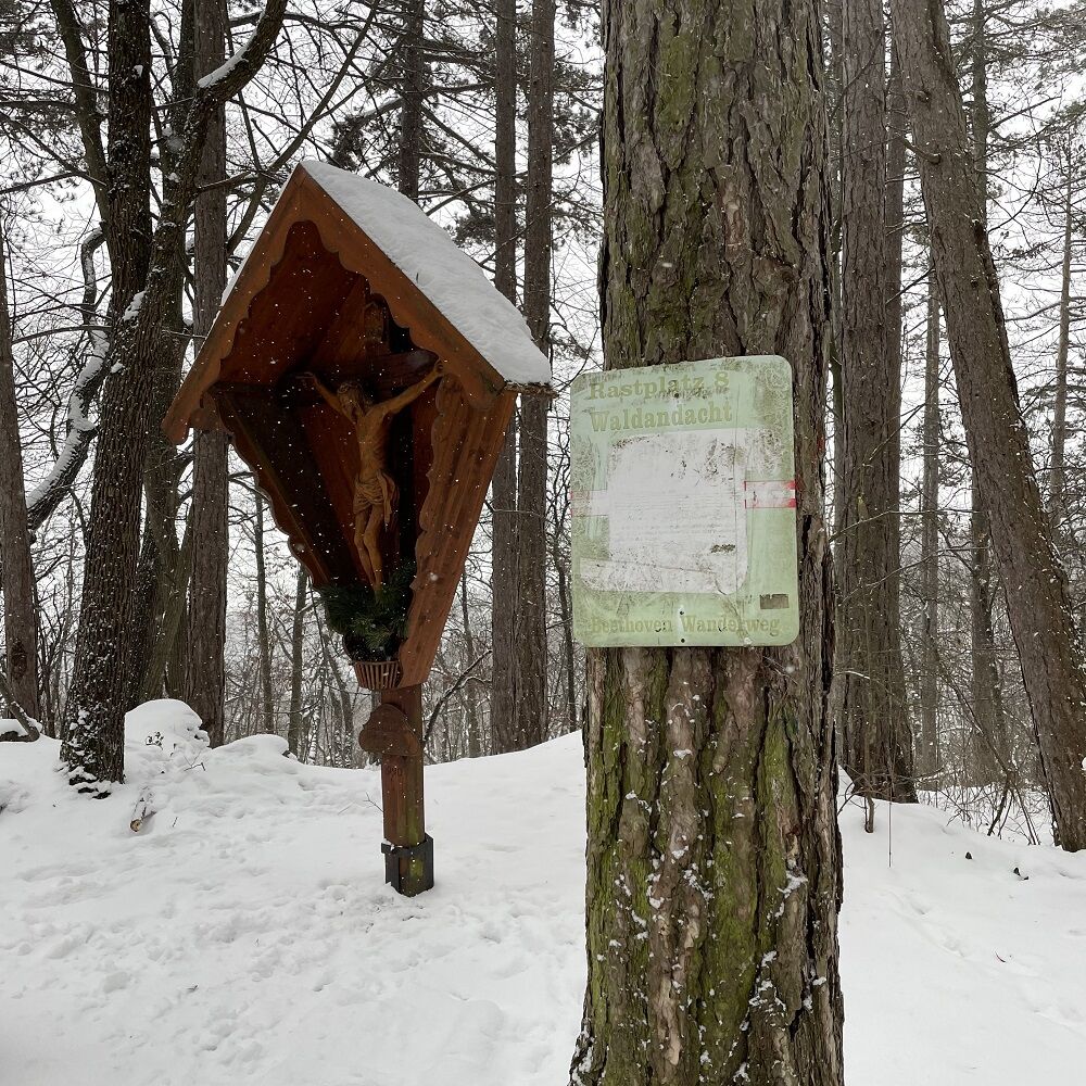
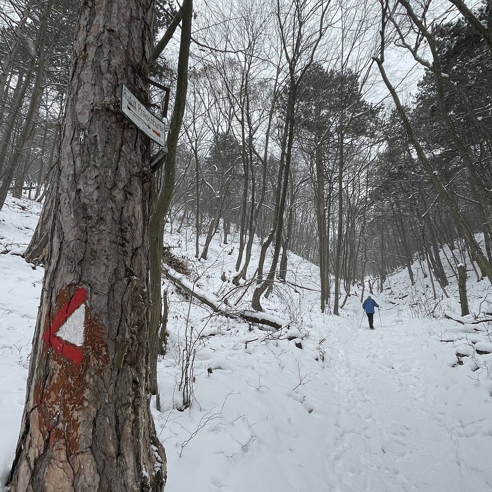
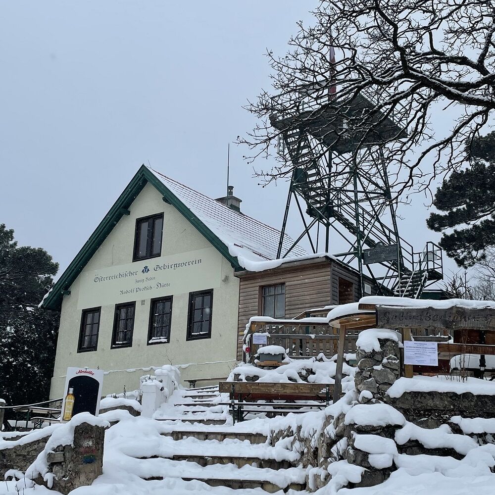
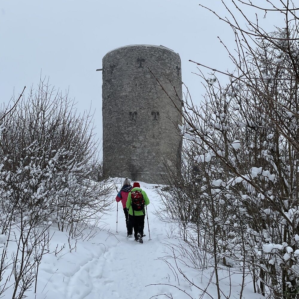
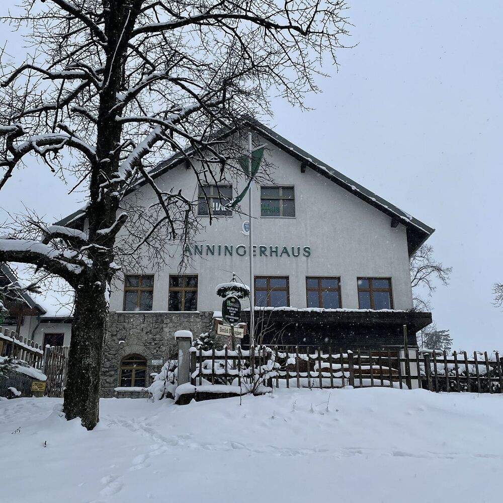
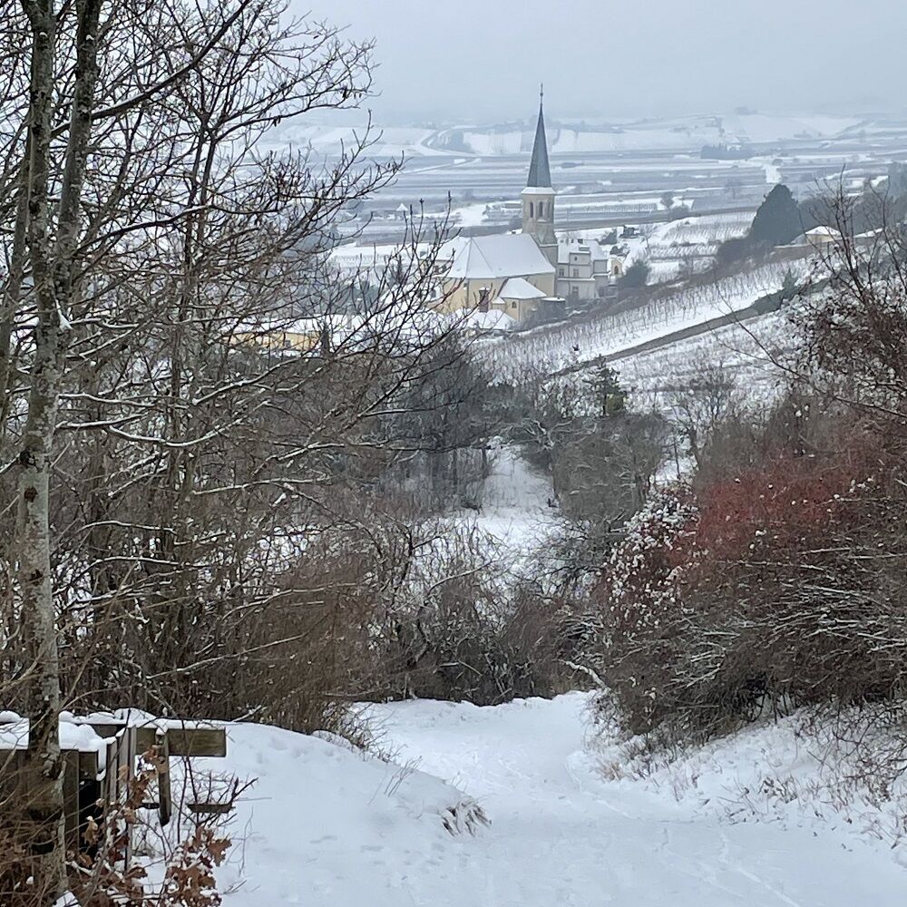
Gumpoldskirchen – Beethovenweg – Rudolf Proksch-Hütte am Pfaffstättner Kogel (541 m) – Wilhelmswarte am Anninger (675 m) – Anningerhaus – Richardshof – Gumpoldskirchen.
- Difficoltà
-
intermedio
- Valutazione
-
- Punto di partenza
-
Parkplatz am Ortsende Richtung Mödling.
- Percorso
-
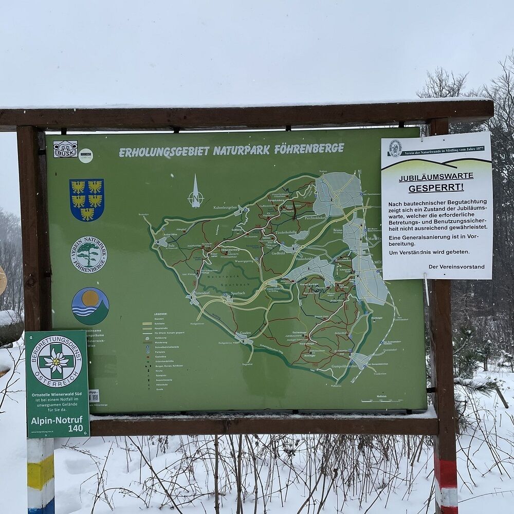
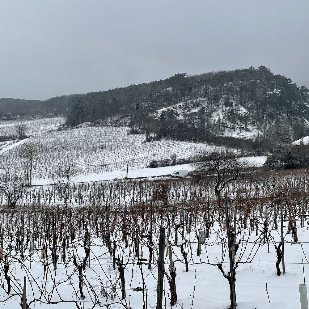
Gumpoldskirchen0,1 kmRastplatz Zwirnereck1,7 kmFuchsloch II2,6 kmFuchsloch I2,7 kmBirnenbrunnen2,7 kmBaden4,5 kmRudolf-Proksch-Hütte4,7 kmPfaffstättner Kogel (550 m)4,8 kmTännspitz5,4 kmBildbaum5,8 kmDrei Eichen6,3 kmAnninger (675 m)7,8 kmAnningerhaus8,9 kmHochgreutel (342 m)12,0 kmGumpoldskirchen12,5 km
- La stagione migliore
-
genfebmaraprmaggiulugagosetottnovdic
- Punto più alto
- 676 m
- Destinazione
-
Parkplatz am Ortsende Richtung Mödling.
- Riposo/Ritiro
-
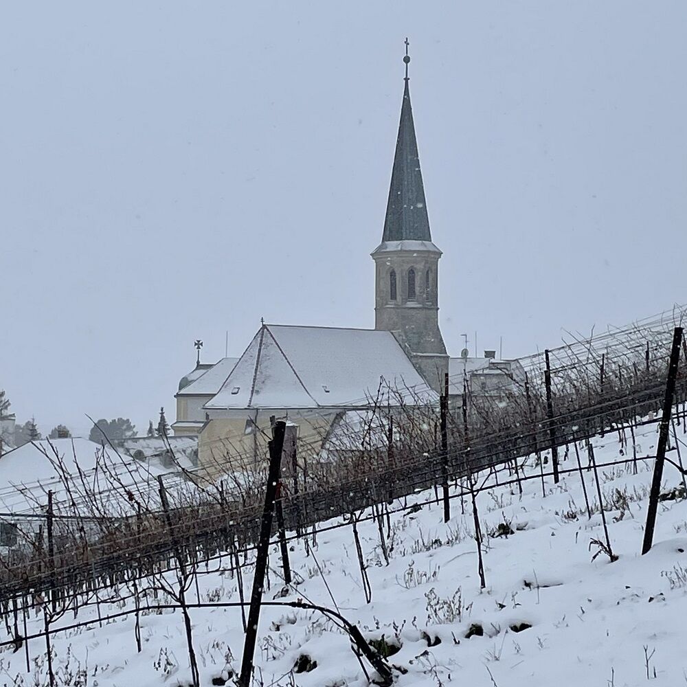
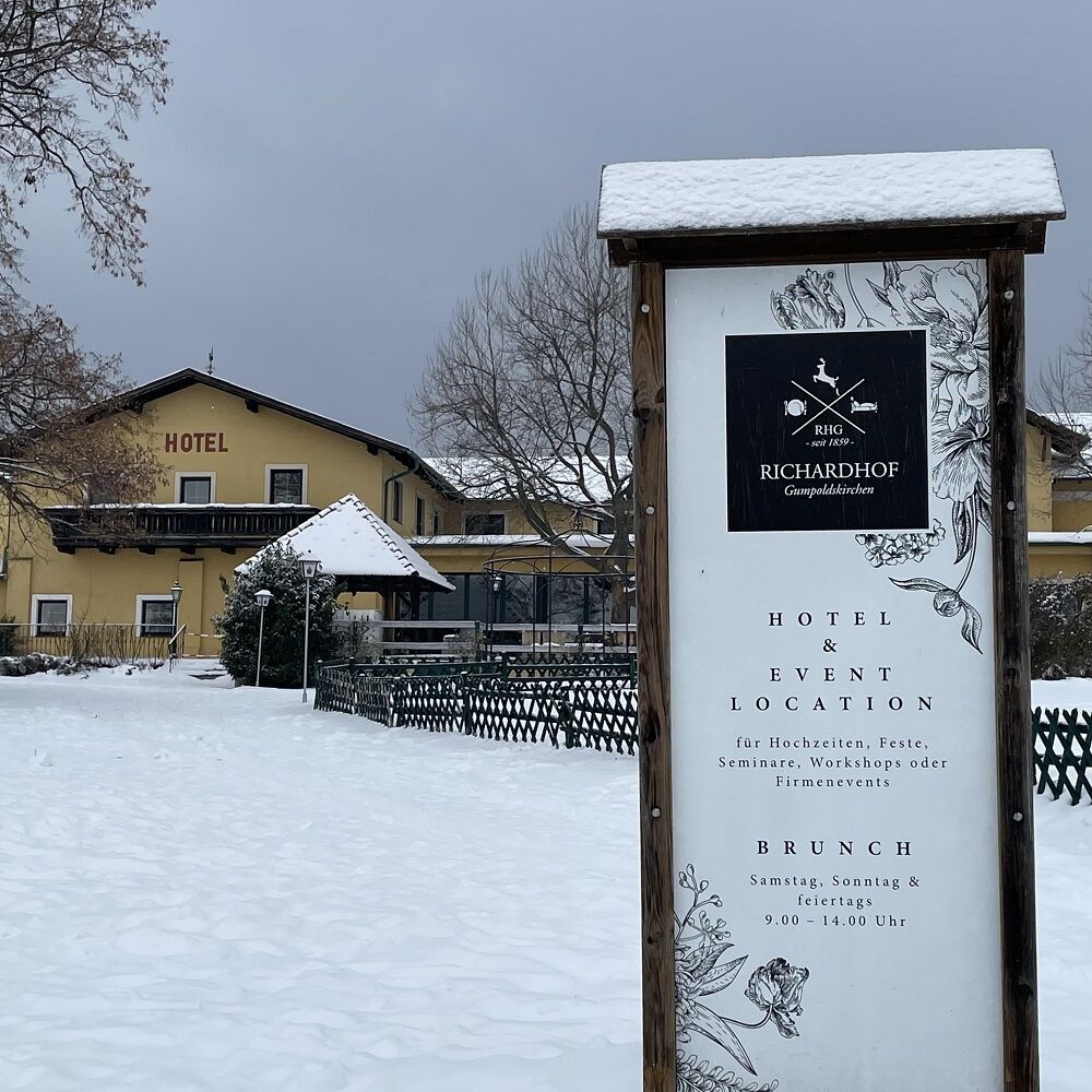
In der Rudolf Proksch-Hütte, im Anningerhaus und bei den Heurigen in Gumpoldskirchen

- Fonte
- Franz ANGELO Gruber
GPS Downloads


Condizioni dei sentieri
Asfalto
Ghiaia
Prato
Foresta
Roccia
Esposta
Altri tour nelle regioni
-
Wienerwald
4219
-
Wien und Umgebung
2481
-
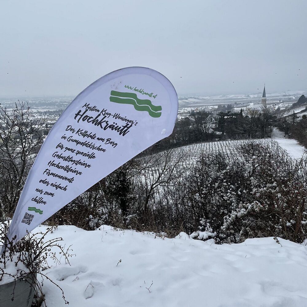
Gumpoldskirchen
883