Dati percorsi
4,87km
342
- 396m
73hm
67hm
01:12h
- Descrizione rapida
-
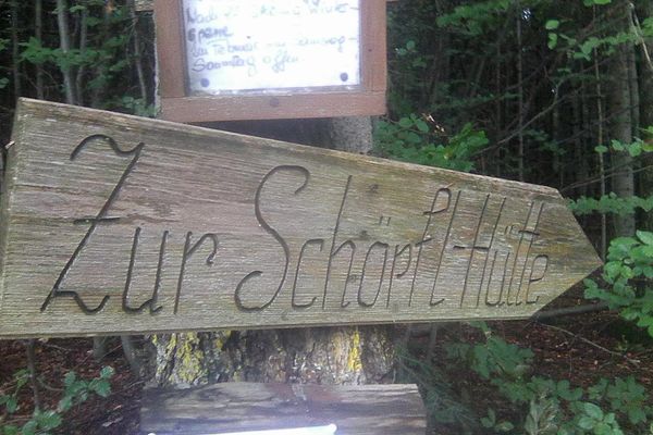
Einfache Runde 1ĥ,
Hinweg über die Wiesen und entlang des Baches (sonnig)
Rückweg orange im Wald (schattig) - Difficoltà
-
facile
- Valutazione
-
- Punto di partenza
-
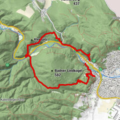
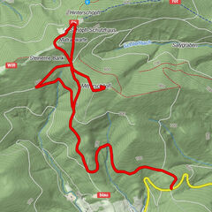
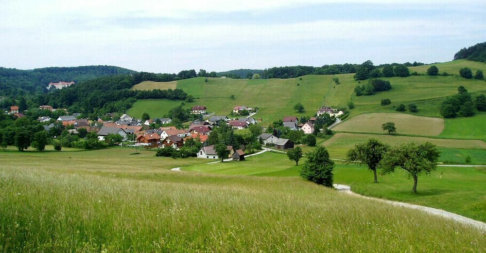
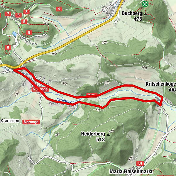
Groisbach
- Percorso
-
Groisbach0,3 kmUntermeierhof2,1 kmGroisbach4,3 kmGasthaus "zu den Kernbuam"4,6 km
- La stagione migliore
-
genfebmaraprmaggiulugagosetottnovdic
- Punto più alto
- 396 m
- Destinazione
-
Groisbach
- Riposo/Ritiro
-
Gasthof zur Dorfwirtin (Groisbach)

- Fonte
- Woody64
GPS Downloads


Condizioni dei sentieri
Asfalto
(20%)
Ghiaia
Prato
(50%)
Foresta
(30%)
Roccia
Esposta
Altri tour nelle regioni
-
Wienerwald
4214
-
Wien und Umgebung
2479
-
Alland
835