
Dati percorsi
2,73km
200
- 671m
600hm
600hm
00:40h
- Descrizione rapida
-
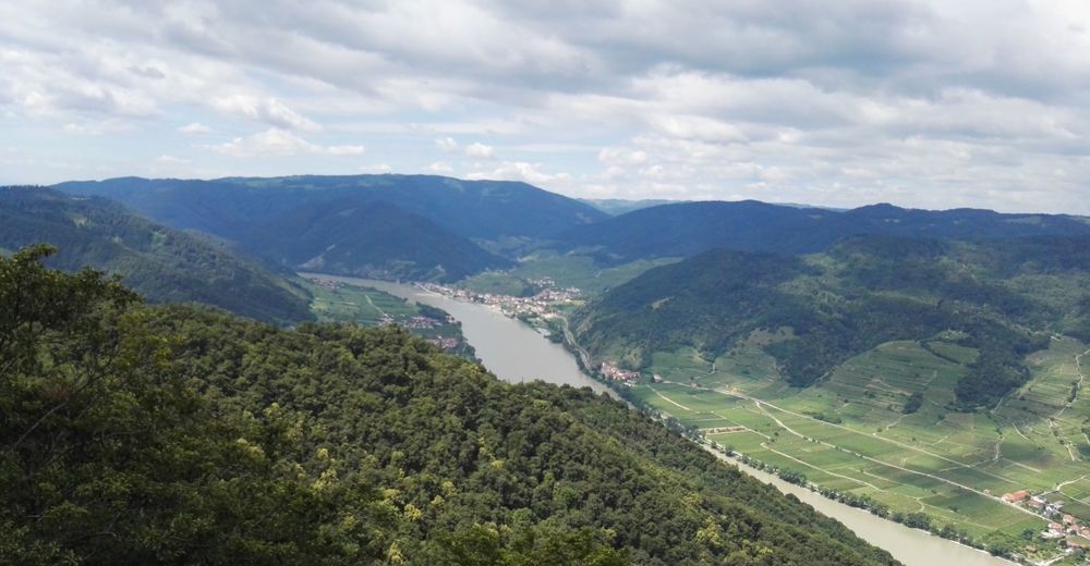
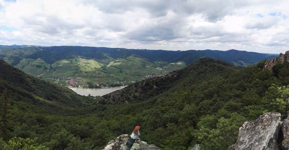
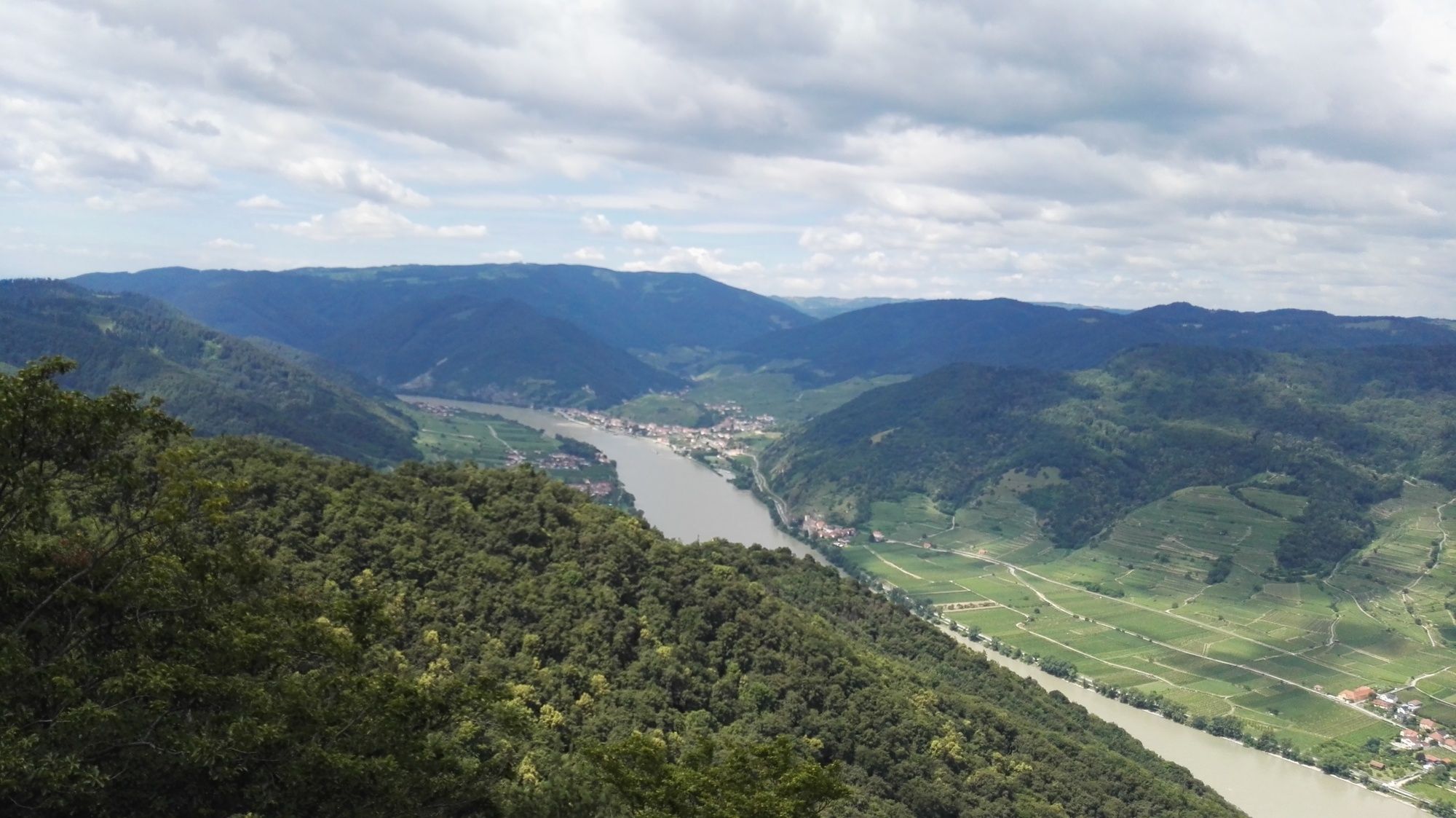
Ein Klassiker unter den Wanderungen in der Wachau!
- Difficoltà
-
intermedio
- Valutazione
-
- Punto di partenza
-
Parkplatz in Oberkienstock.
- Percorso
-
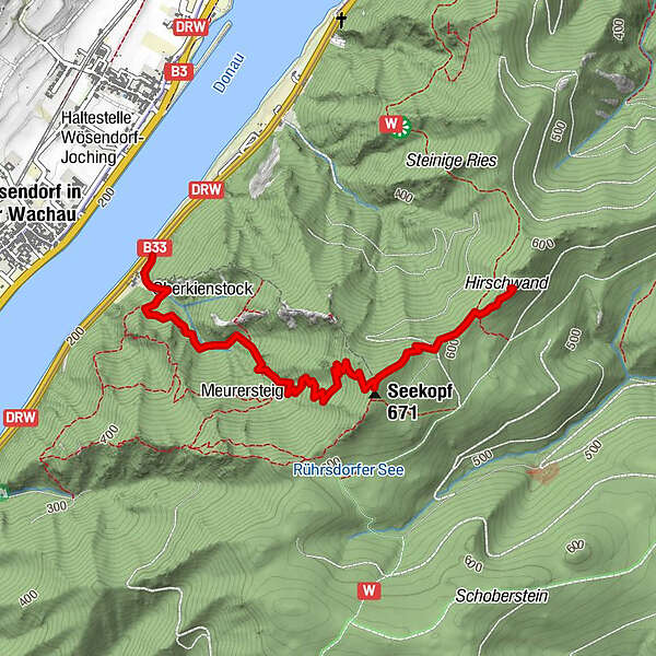
Wösendorf in der Wachau0,1 kmOberkienstock0,1 kmSeekopf (671 m)1,9 kmSeekopfwarte1,9 kmHirschwand (625 m)2,7 km
- La stagione migliore
-
genfebmaraprmaggiulugagosetottnovdic
- Punto più alto
- Seekopf (671 m)
- Destinazione
-
Parkplatz in Oberkienstock.
- Riposo/Ritiro
-
keine
- Cartine
-
Ich schwöre auf die BEV-Karten im Maßstab 1:25.000.
Hier brauchen wir den Ausschnitt 4323 - West, Melk!

GPS Downloads


Condizioni dei sentieri
Asfalto
Ghiaia
Prato
Foresta
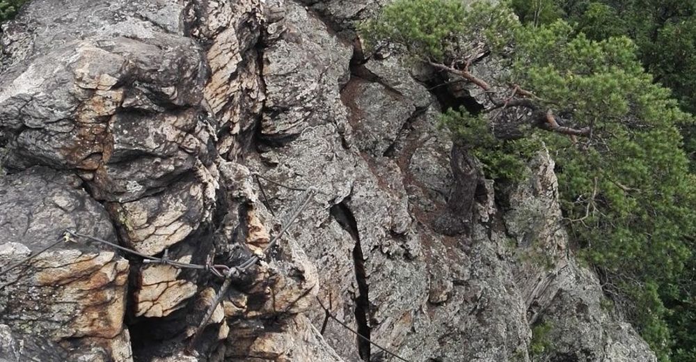
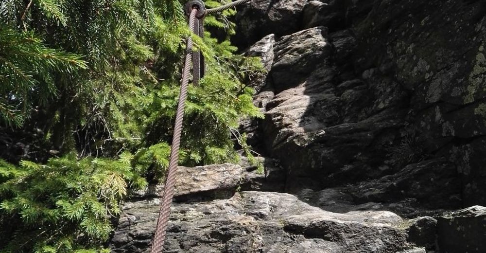
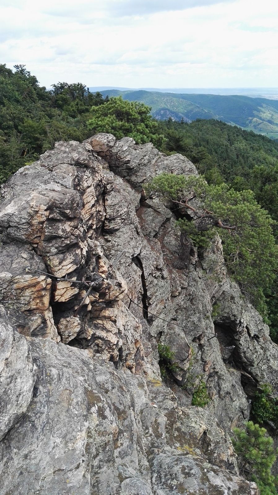
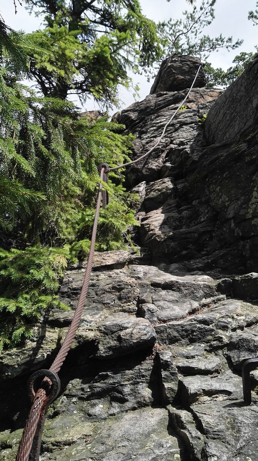
Roccia
Esposta
Altri tour nelle regioni


