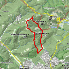
Dati percorsi
5,14km
160
- 168m
8hm
13hm
01:15h
- Descrizione rapida
-
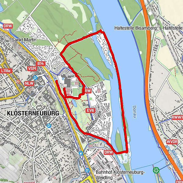
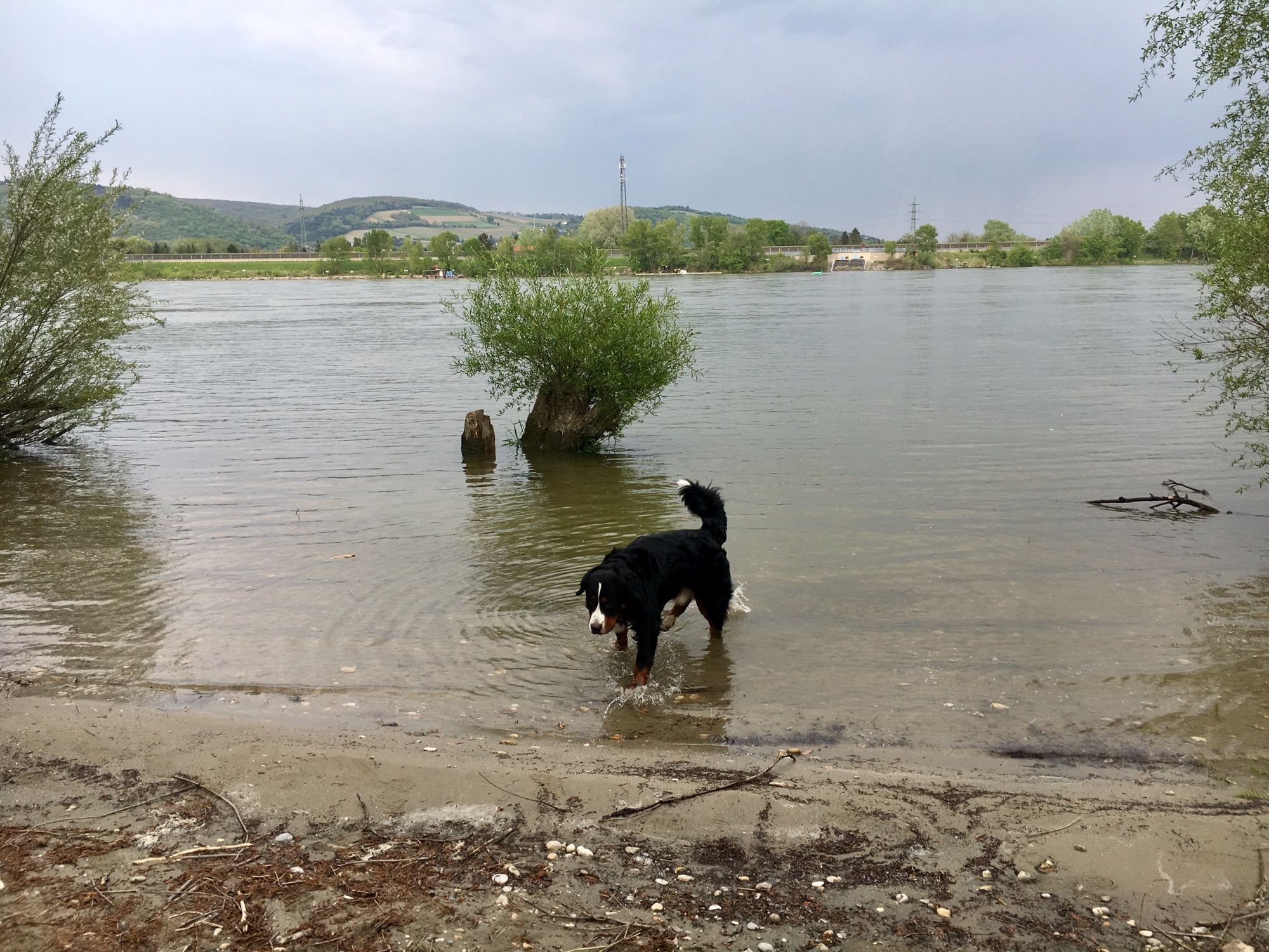
Vom Parkplatz Bhf/Campingplatz am Sportplatz Happy Land vorbei in die Au und vorne neben der Straße nach dem Gasthaus die Donau entlang und retour auf der PionierInsel gegenüber vom Strandbad Klosterneuburg - Durchstich entlang beim Reitstall St Martin vorbei bis retour durch die Au entlang zum bis Kanupaddelübungsbereich zum Parkplatz
- Difficoltà
-
facile
- Valutazione
-
- Percorso
-
Donaustub'n1,8 kmKlosterneuburg5,0 km
- Punto più alto
- 168 m

GPS Downloads


Altri tour nelle regioni
-
Wienerwald
4206
-
Wien und Umgebung
2475
-
Klosterneuburg
1036