NÖ/Wien: Gugging - Tempelberg - Lourdesgrotte

Escursionismo
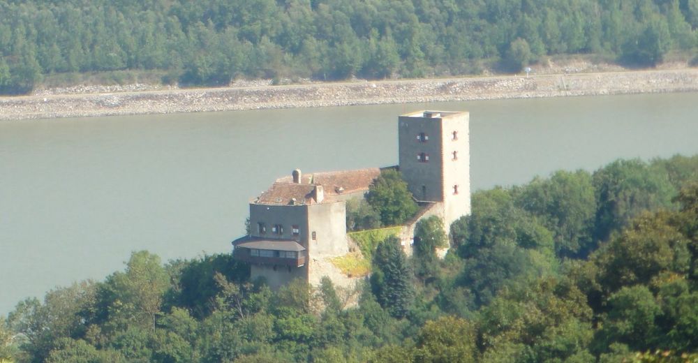
© cowi1969
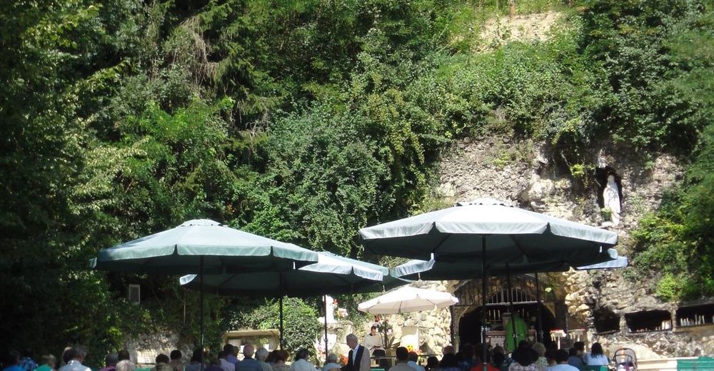
© cowi1969
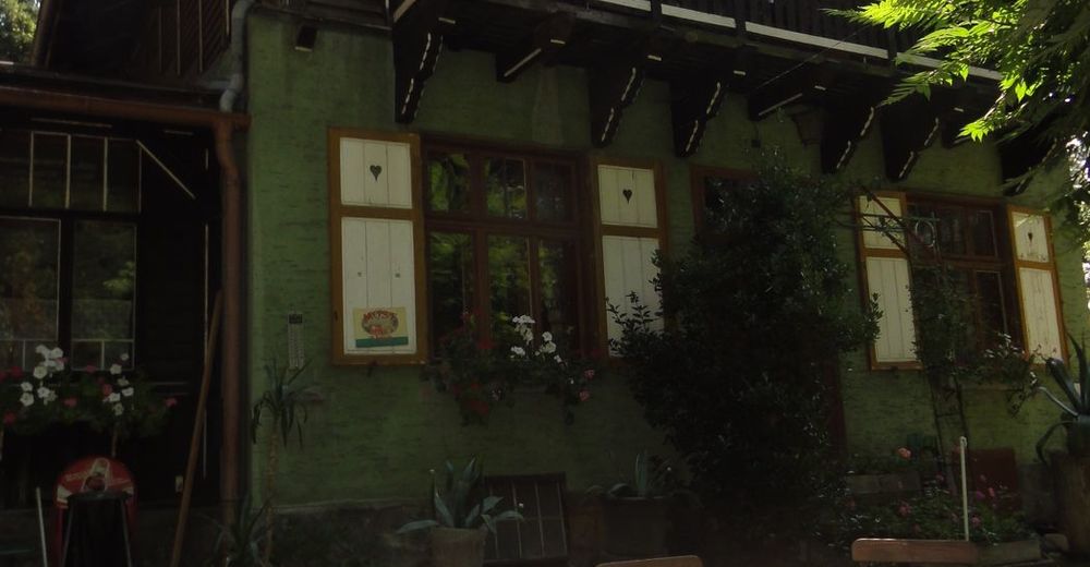
© cowi1969
© cowi1969
© cowi1969
© cowi1969
Dati percorsi
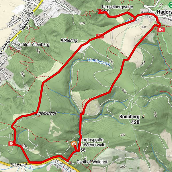
8,5km
127
- 207m
198hm
02:30h
- Descrizione rapida
-
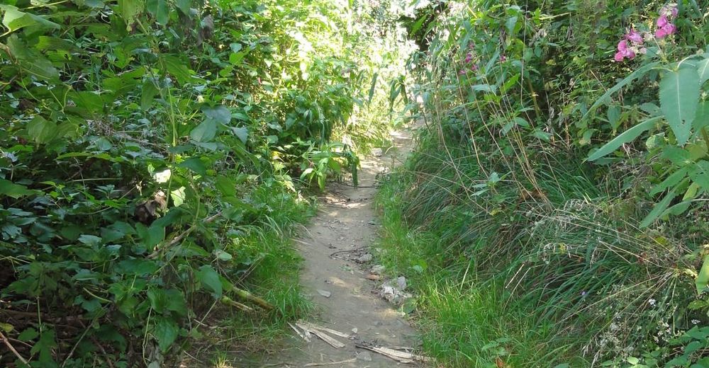
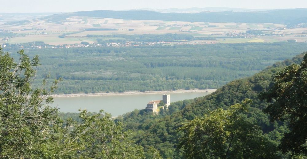
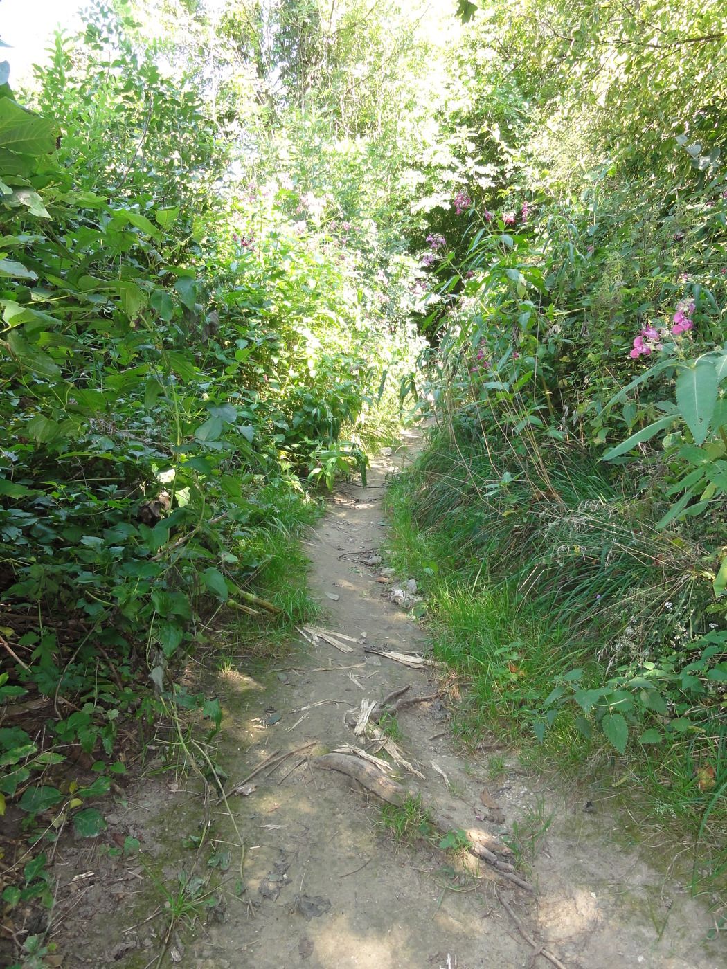
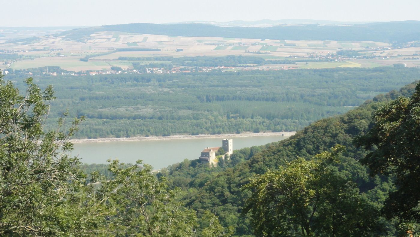
Eine waldreiche Tour am Fuße Wiens mit schönen Aussichten.
- Difficoltà
-
facile
- Valutazione
-
- Punto di partenza
-
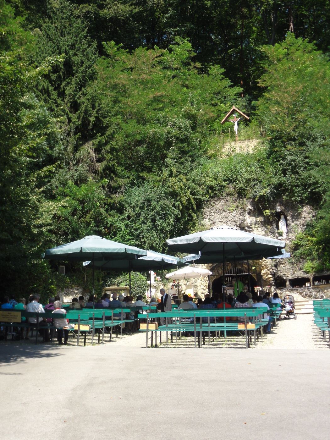
Parkplatz bei der Lourdesgrotte
- Percorso
-
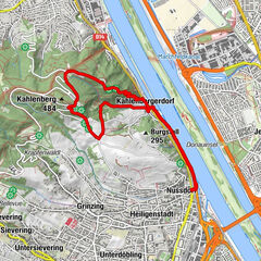
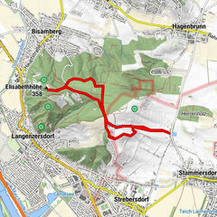
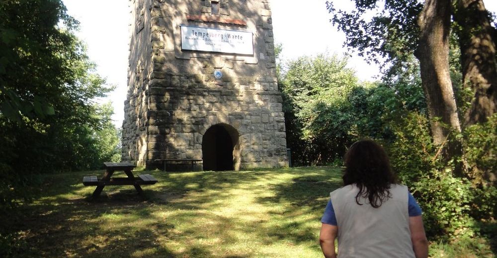
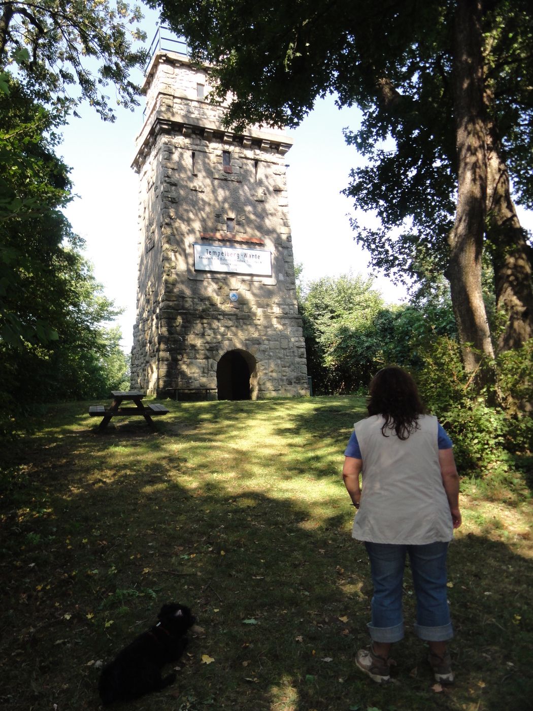
Schneiderzipf (373 m)1,6 kmTempelberg (403 m)4,5 kmHadersfeld5,5 kmGrottenkirche8,2 kmLourdesgrotte8,2 km
- La stagione migliore
-
genfebmaraprmaggiulugagosetottnovdic
- Punto più alto
- 207 m
- Riposo/Ritiro
-
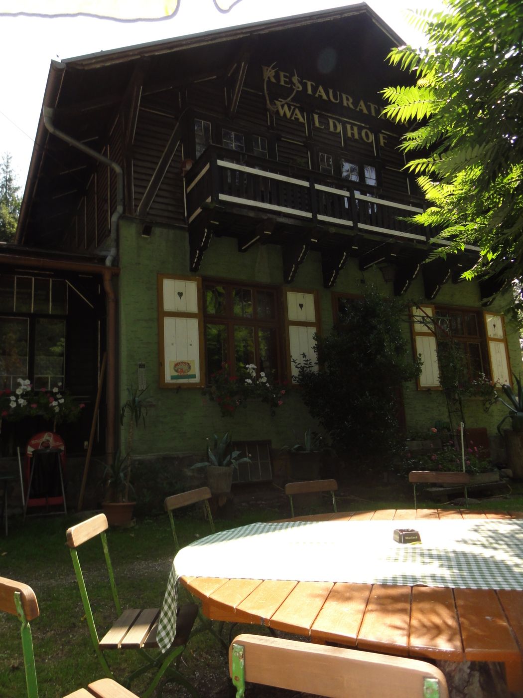
erst am Ende, nach der wohl verdienten Runde:
im Gasthof Waldhaus - Cartine
-
bergfex/ Kompass Karten

GPS Downloads


Condizioni dei sentieri
Asfalto
Ghiaia
Prato
Foresta
Roccia
Esposta
Altri tour nelle regioni
-
Wienerwald
4208
-
Wien und Umgebung
2477
-
St. Andrä-Wördern
898