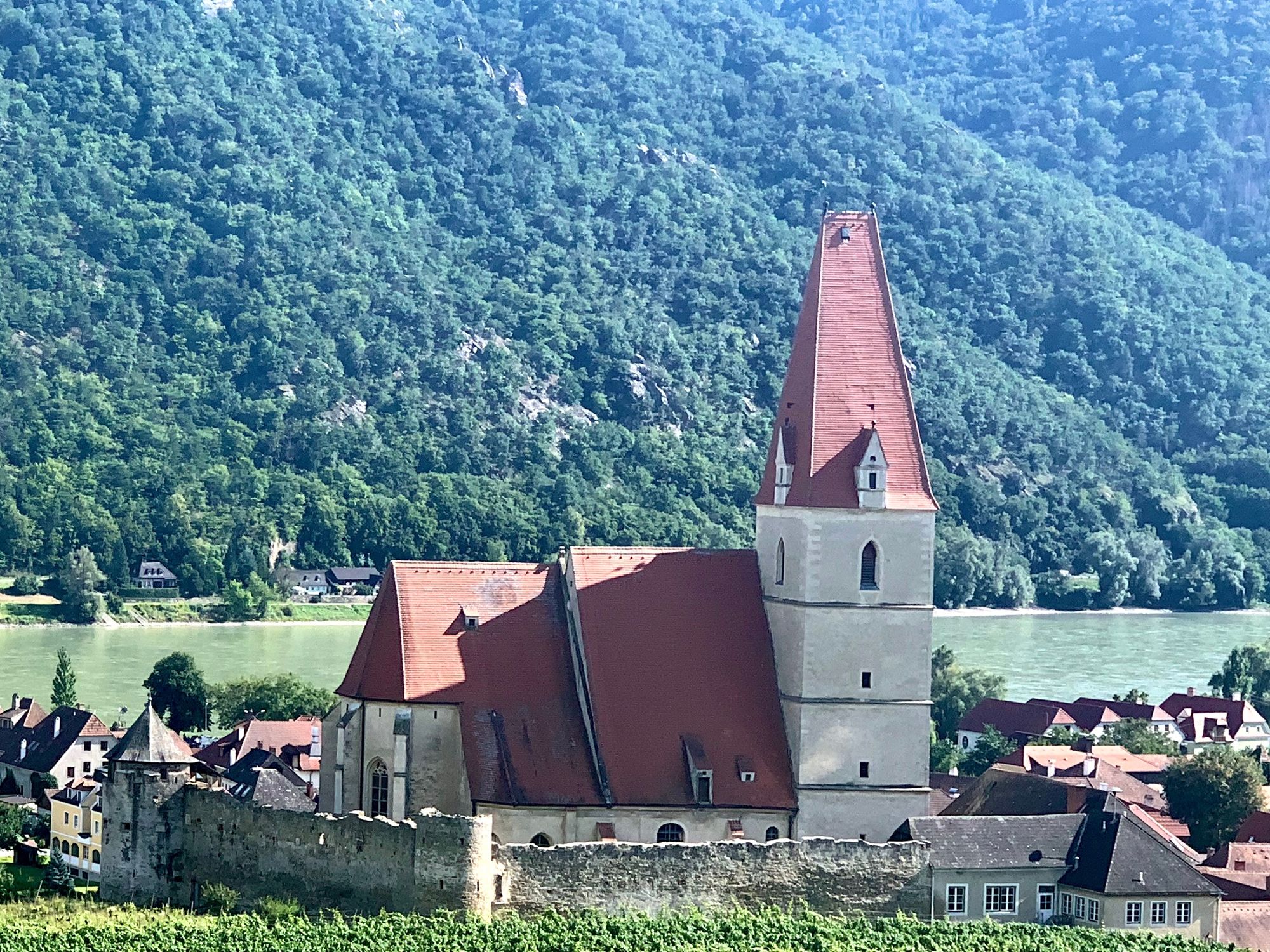
Dürnstein - Weißenkirchen, Stage 2, World Heritage Trail Wachau Valley

Escursionismo

© Radler-Rast - Mag. Brigitte Pamperl

© Radler-Rast - Mag. Brigitte Pamperl
© Radler-Rast - Mag. Brigitte Pamperl

© Radler-Rast - Mag. Brigitte Pamperl
© Radler-Rast - Mag. Brigitte Pamperl

© Radler-Rast - Mag. Brigitte Pamperl
© Radler-Rast - Mag. Brigitte Pamperl
© Radler-Rast - Mag. Brigitte Pamperl
© Radler-Rast - Mag. Brigitte Pamperl
© Radler-Rast - Mag. Brigitte Pamperl
- Descrizione rapida
-
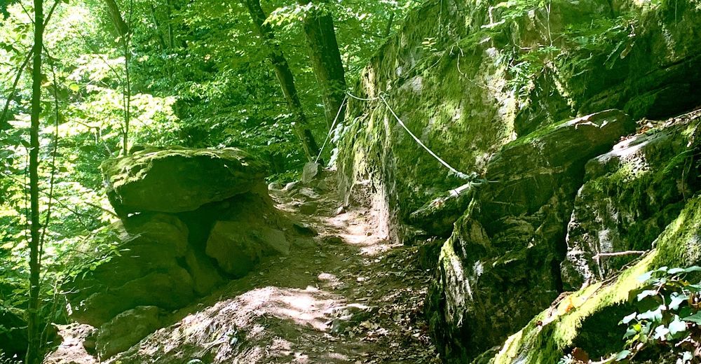
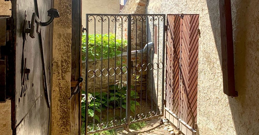
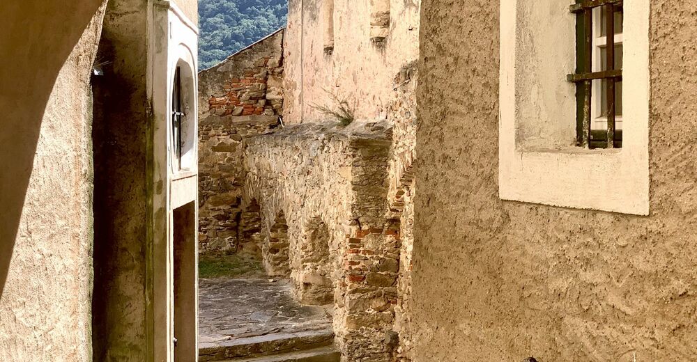
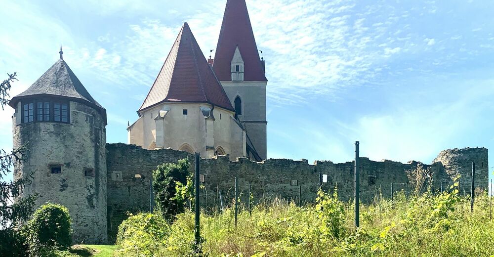
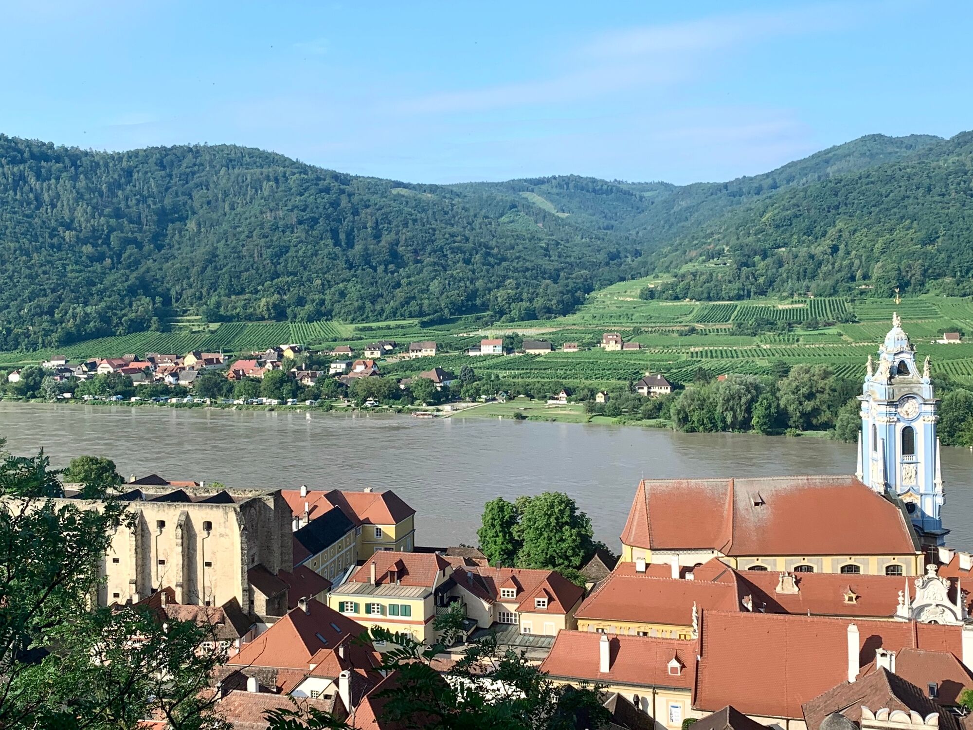
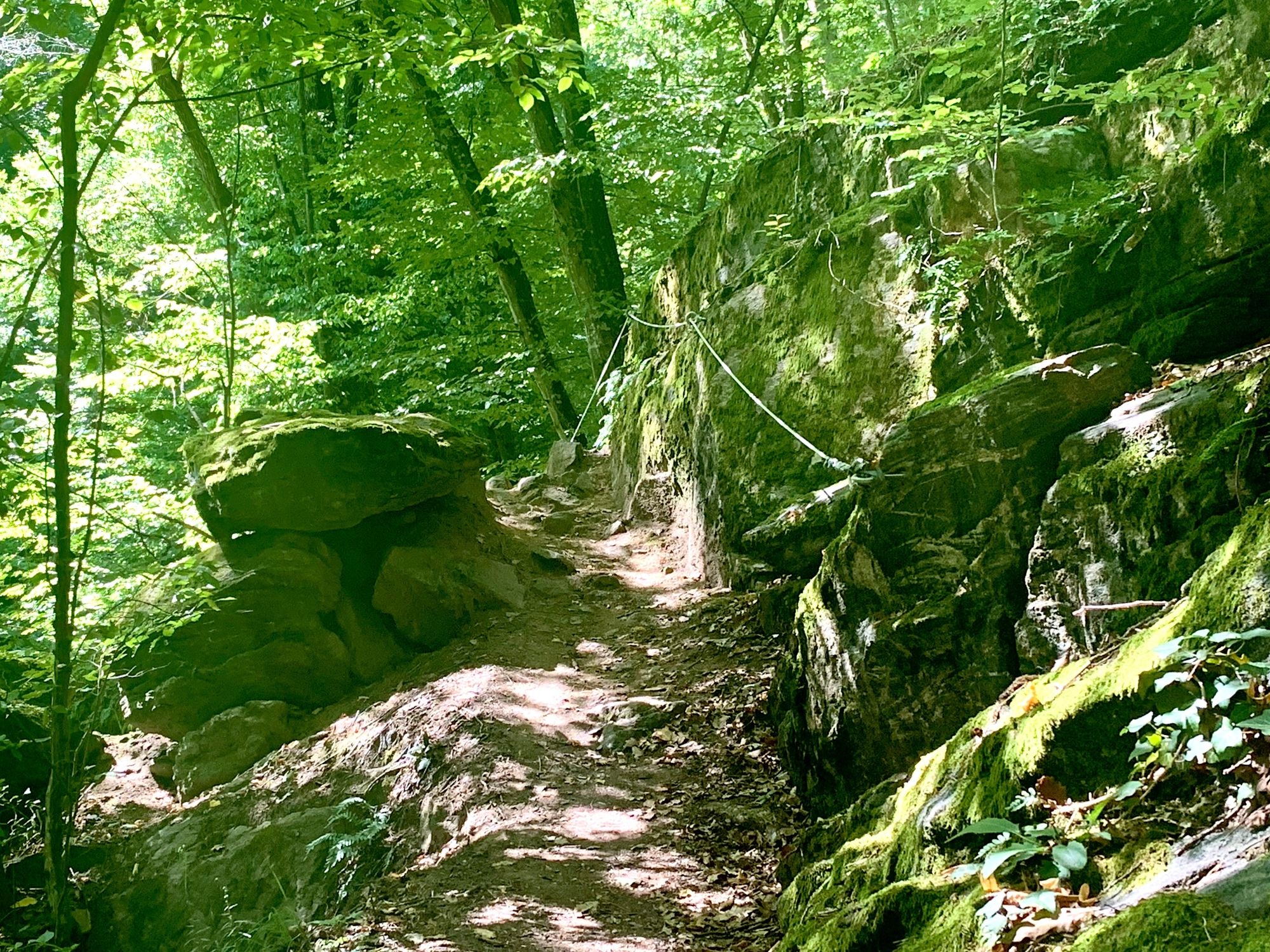
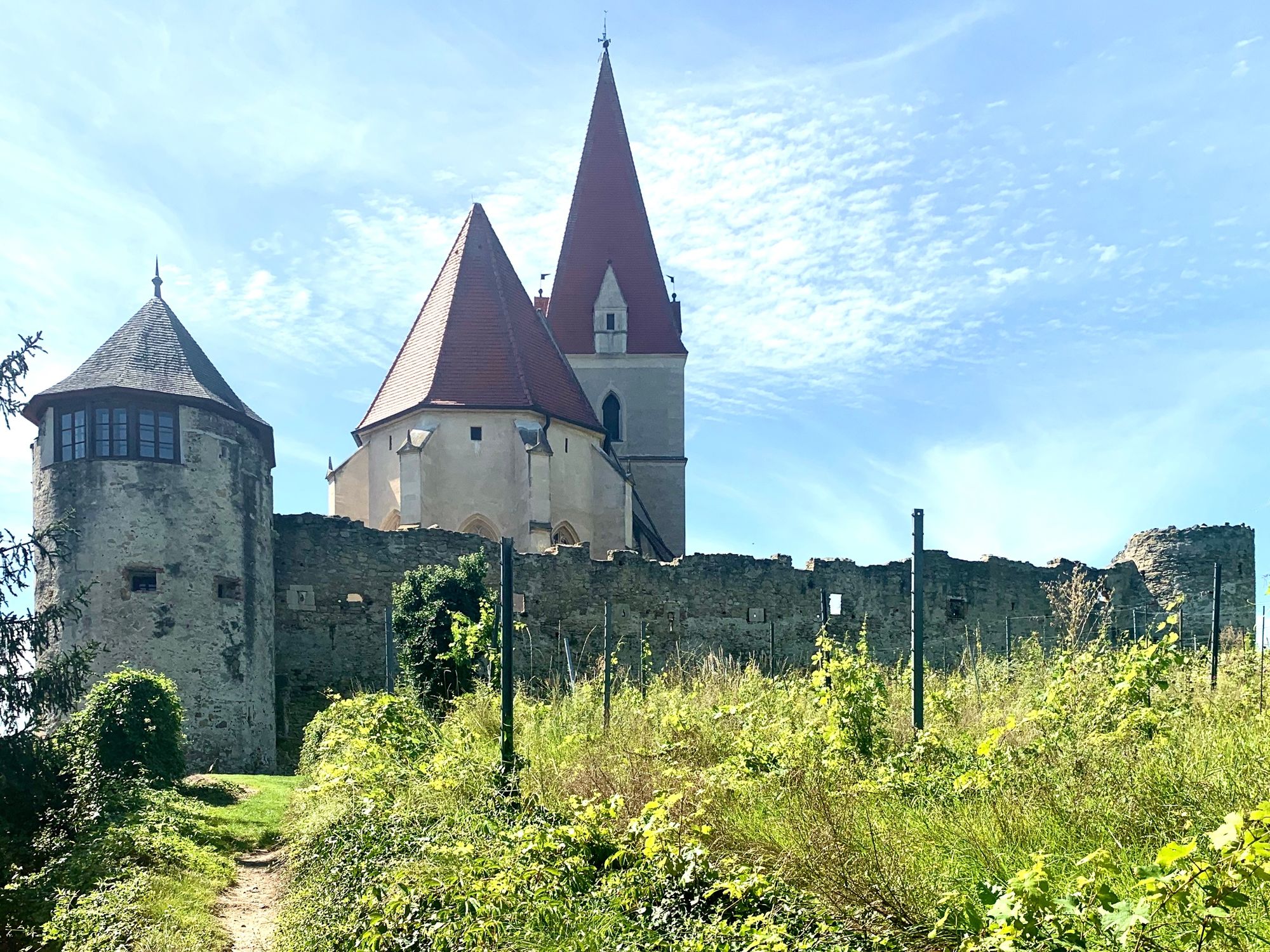
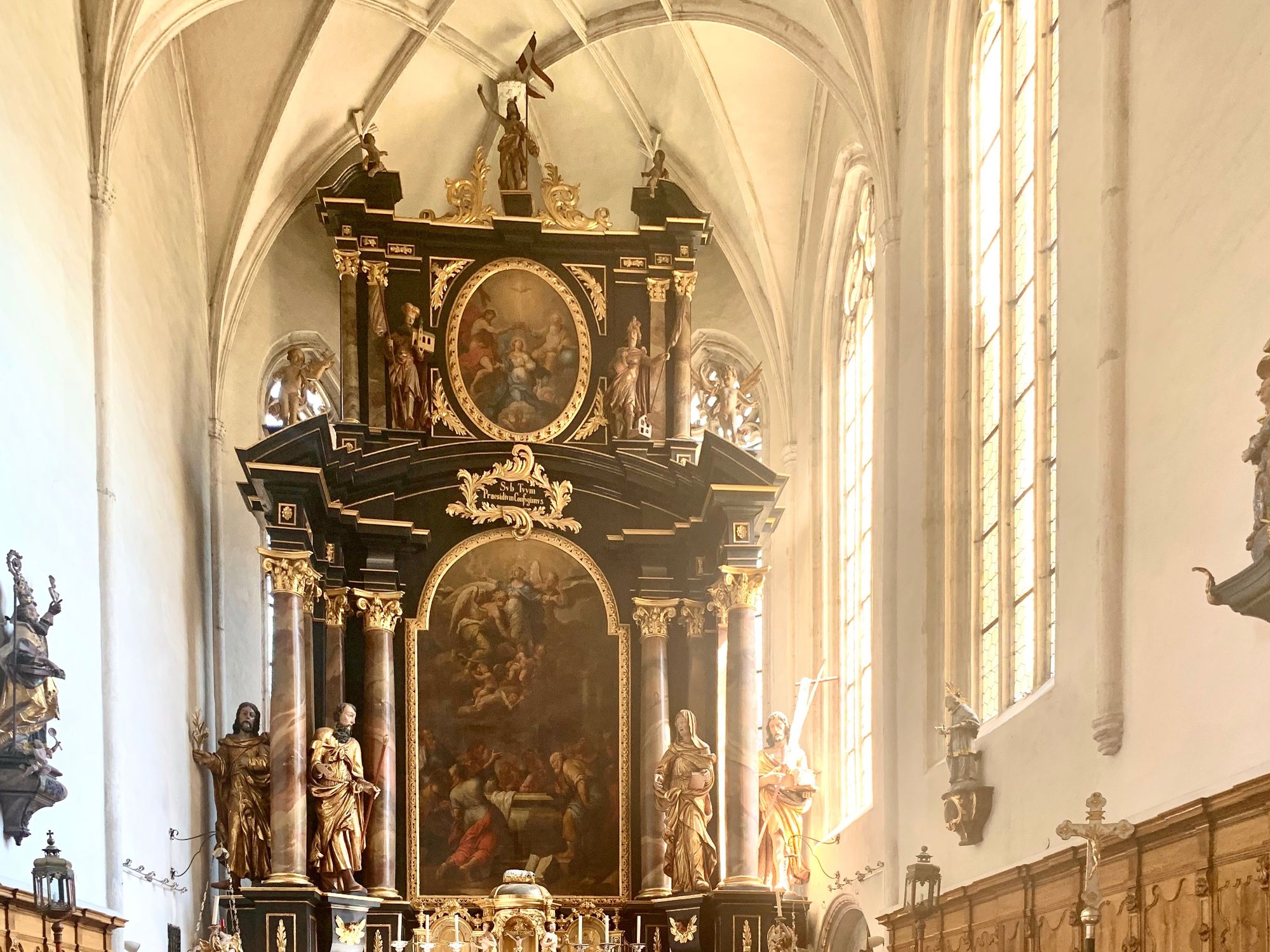
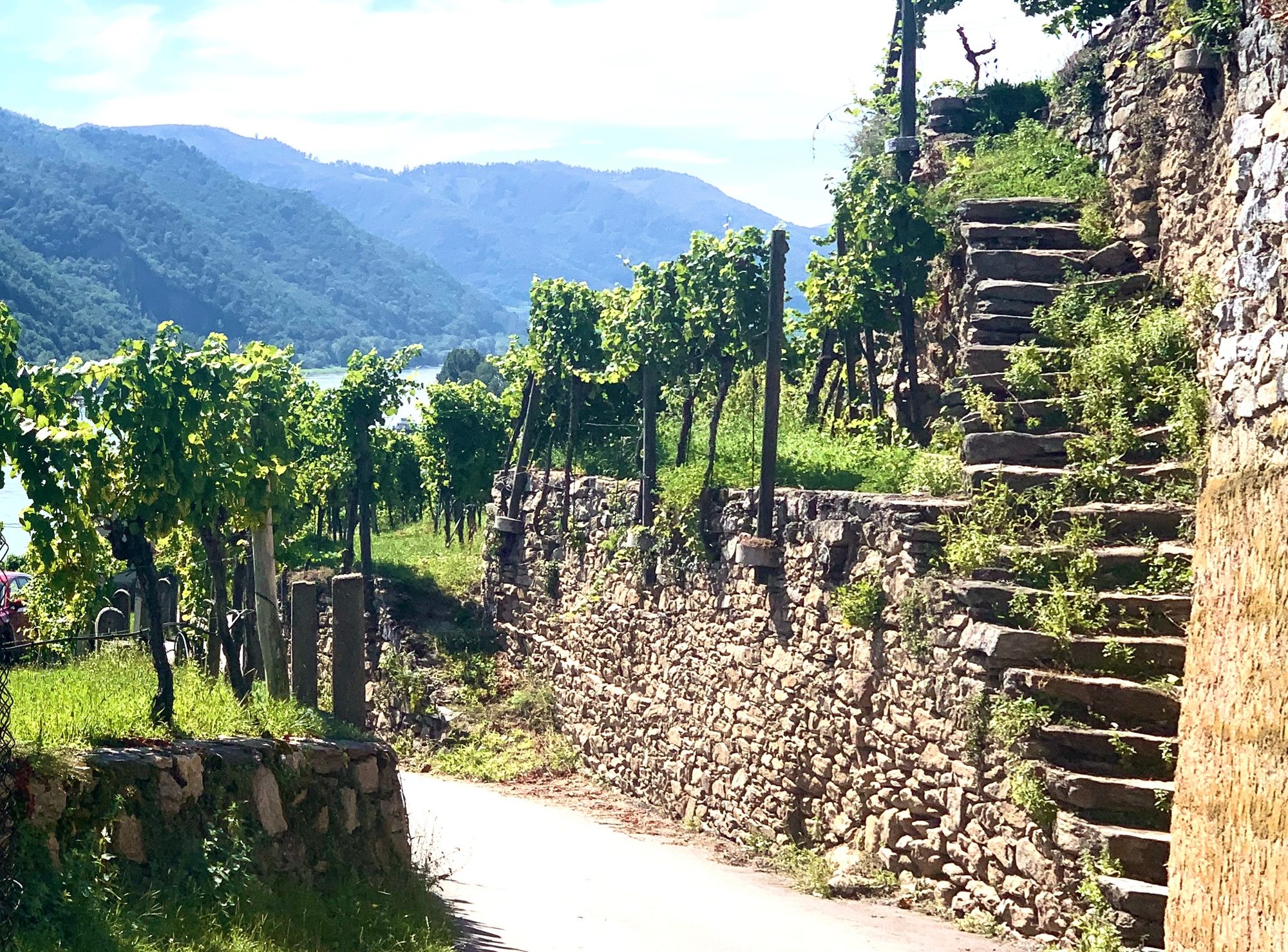
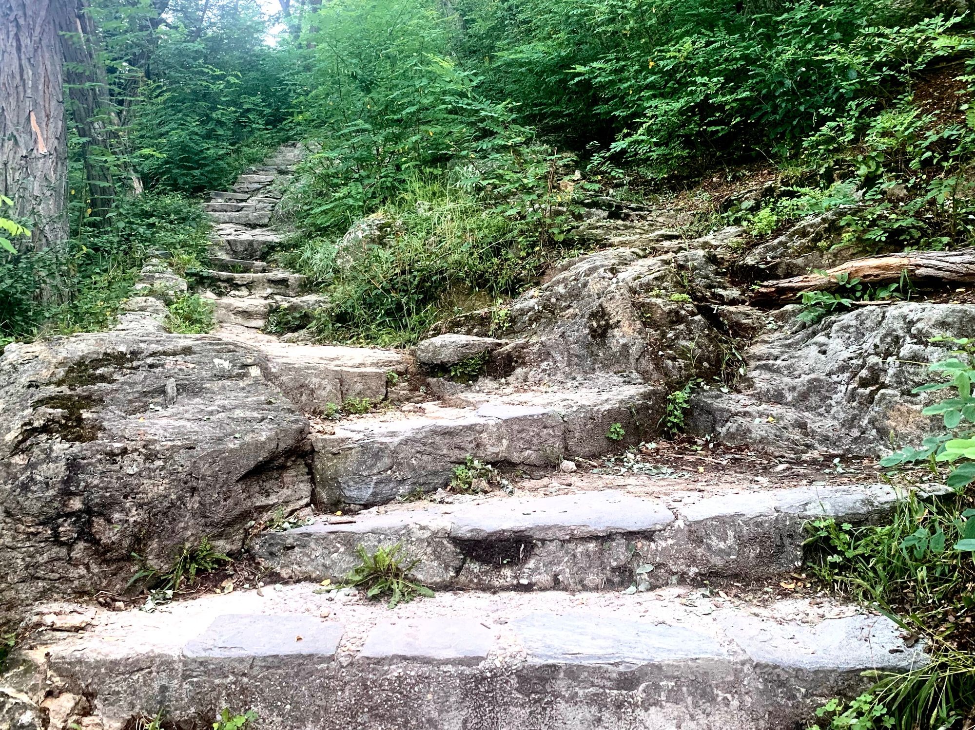
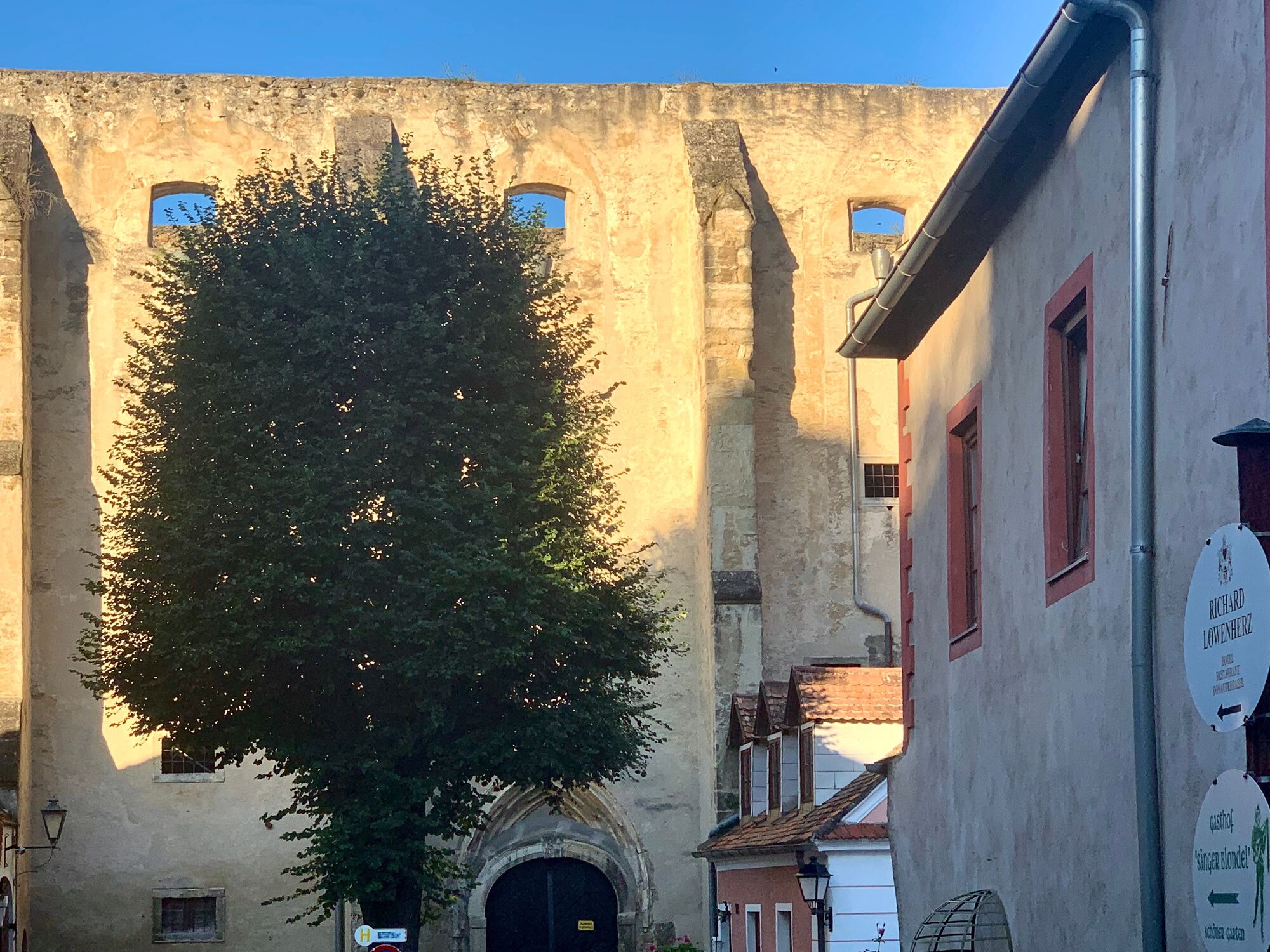
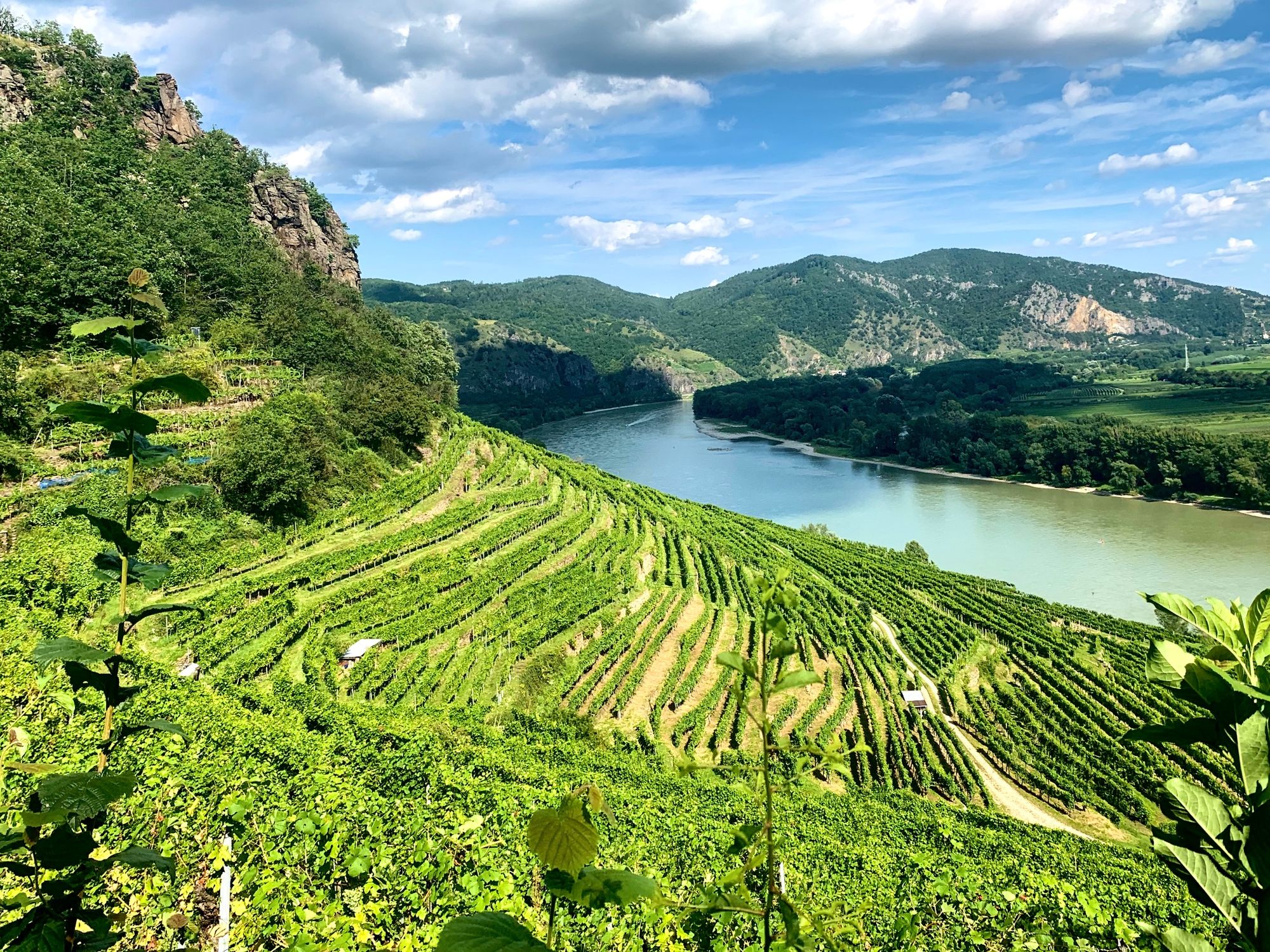
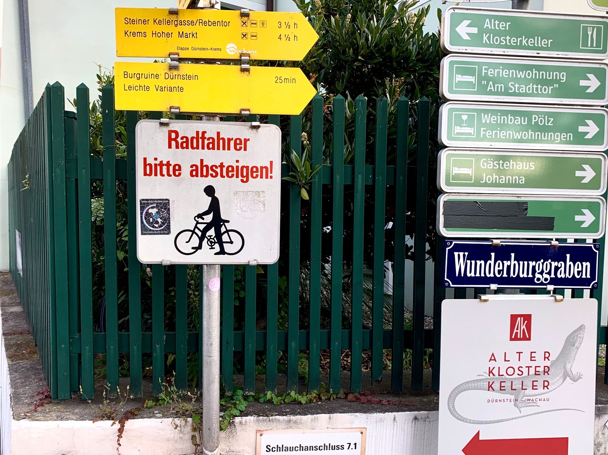
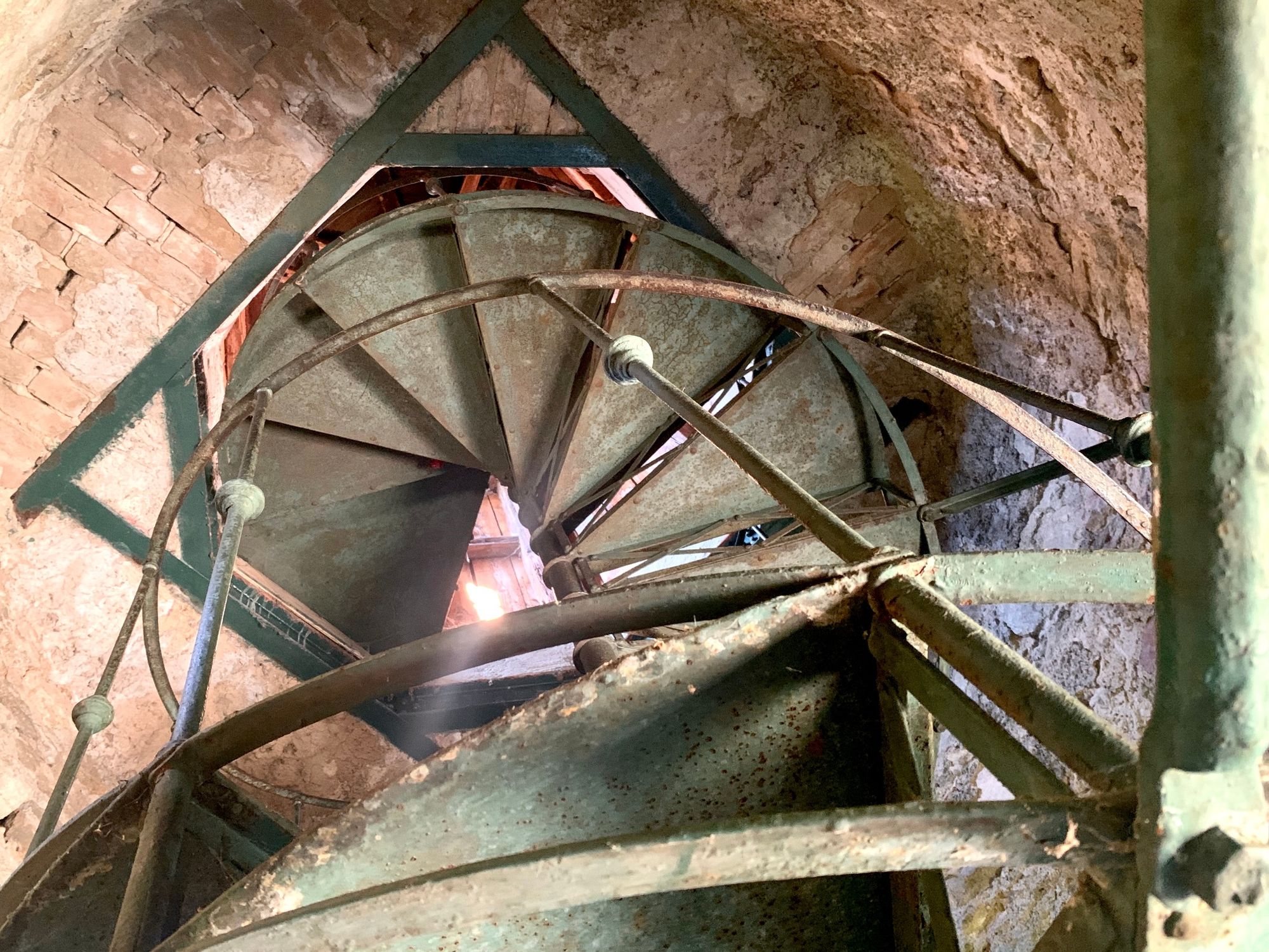
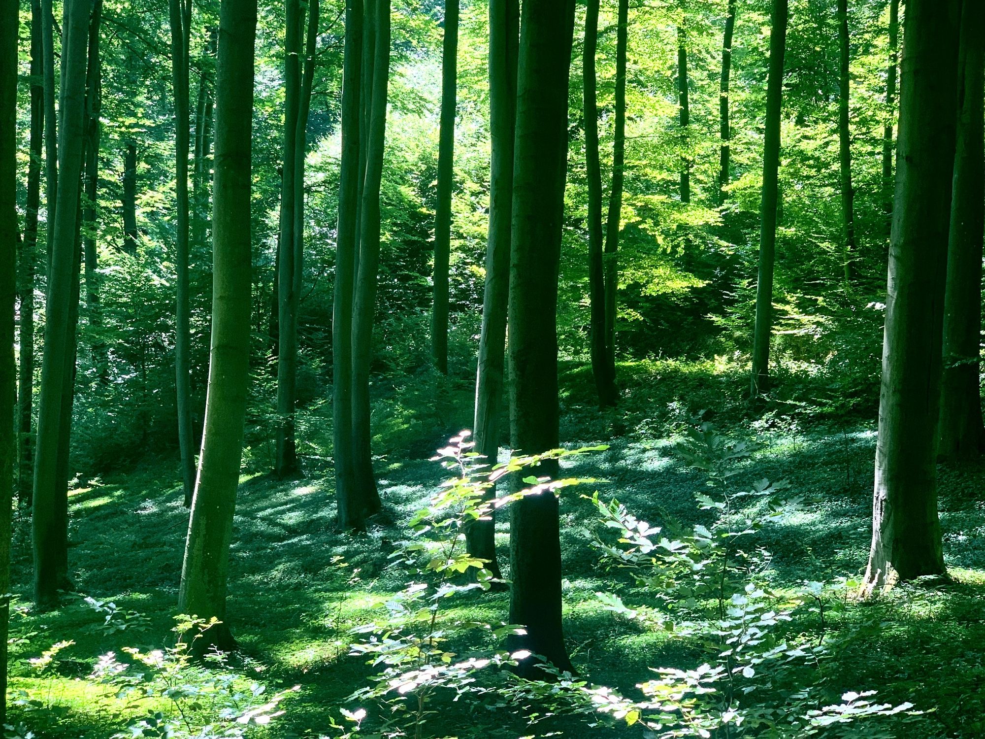
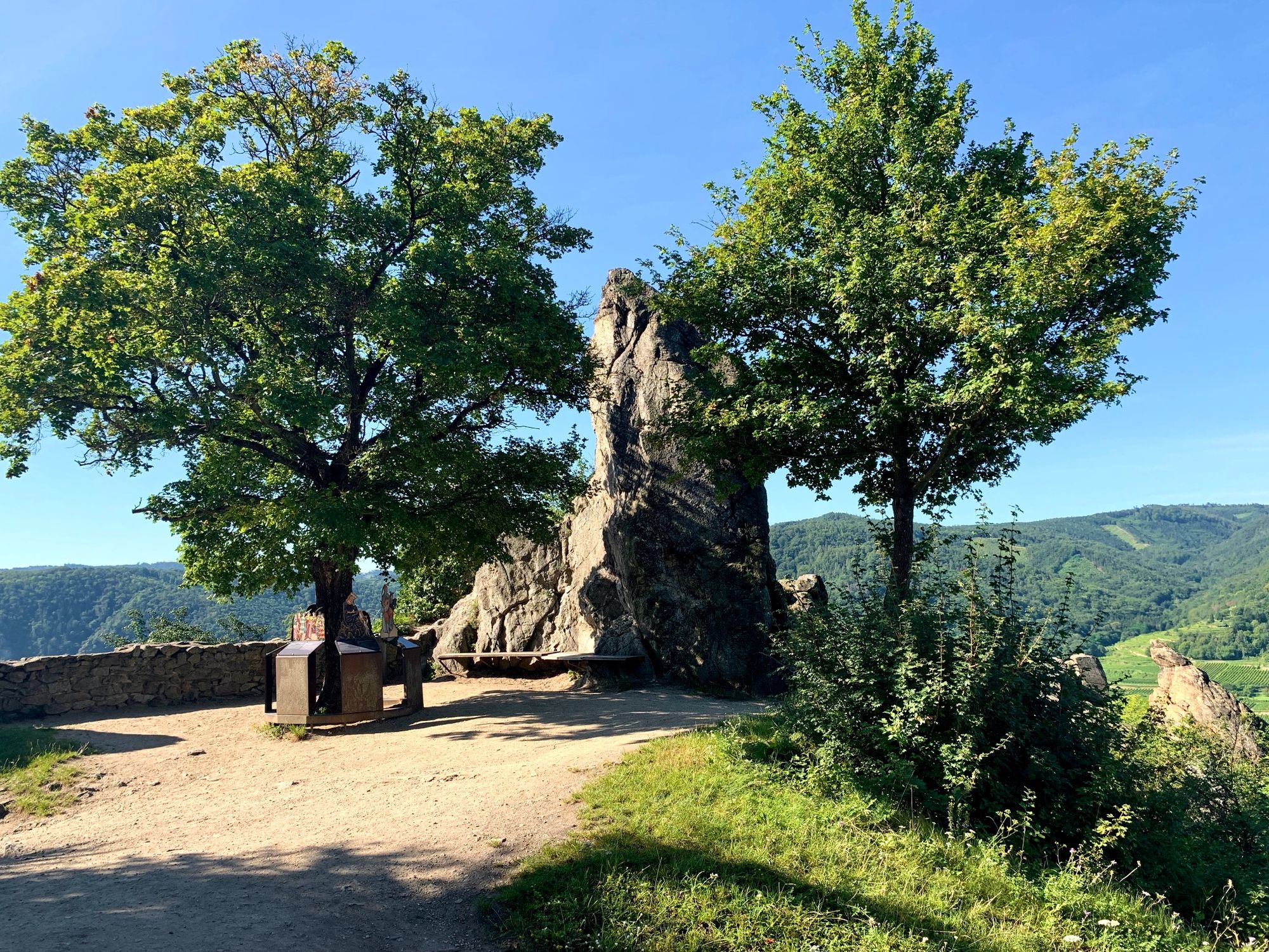
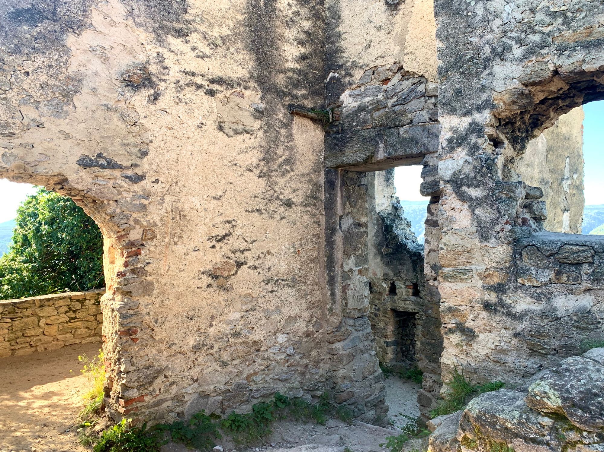
It's nice at the beginning and at the end. In between there is a short dry spell. With a few steps you are in the Middle Ages and at the end in the middle of the vineyards of the Wachau.
- Difficoltà
-
difficile
- Valutazione
-
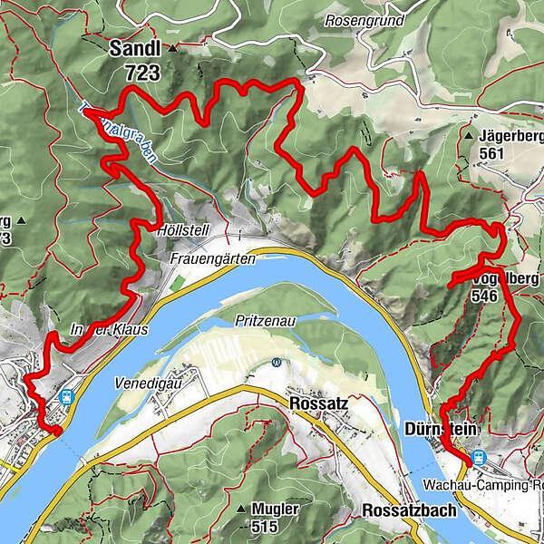
- Percorso
-
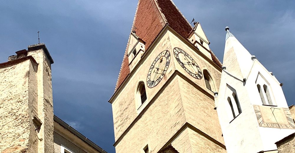
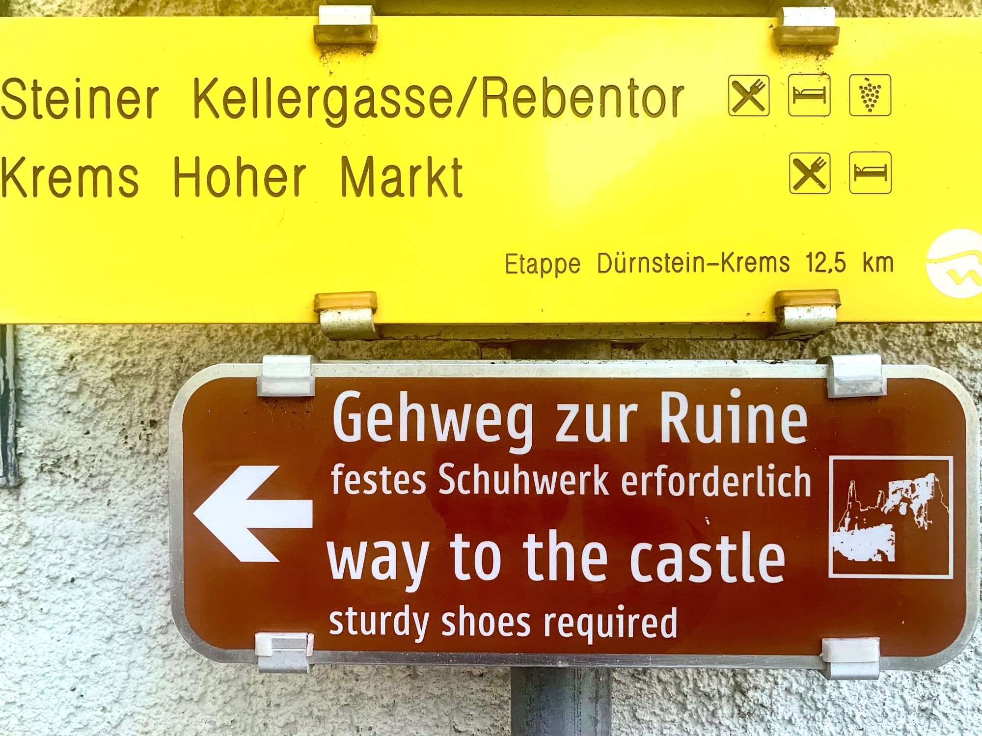
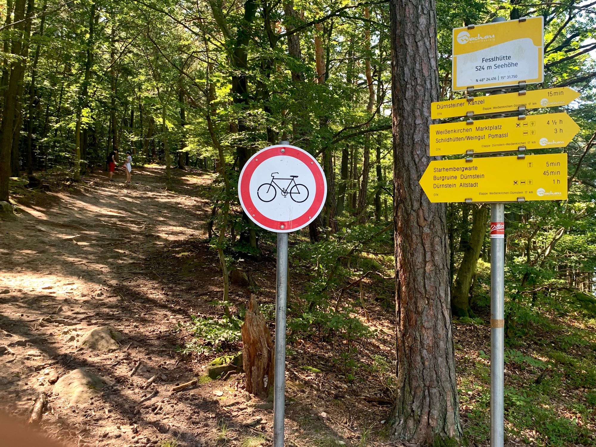
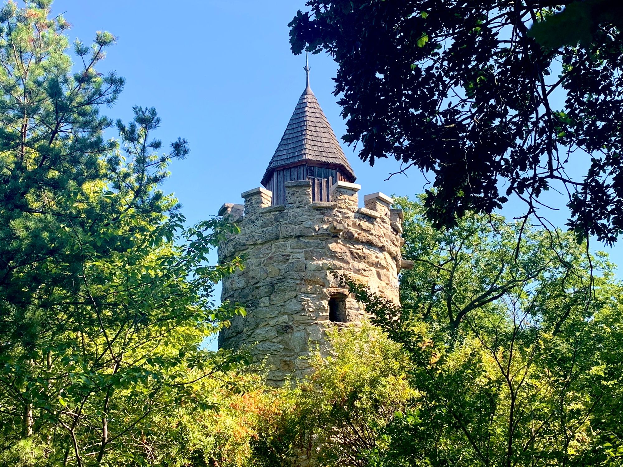
Dürnstein0,4 kmKarner0,4 kmKunigunden Kirche0,4 kmSchlossberg1,0 kmStarhembergwarte2,3 kmFesslhütte2,7 kmBlick auf Rossatzbach und Vogelbergsteig3,0 kmVogelberg (546 m)3,3 kmKanzel (521 m)3,5 kmTiefental12,5 kmSchildhütten13,9 kmPomaßl13,9 kmFelsentor16,6 kmKienberger Olle17,3 kmPfarrkirche Weißenkirchen17,8 kmWeißenkirchen17,9 km
- La stagione migliore
-
genfebmaraprmaggiulugagosetottnovdic
- Punto più alto
- 557 m
- Destinazione
-
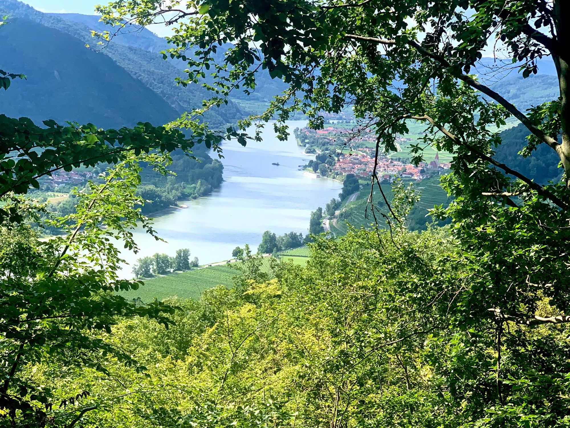
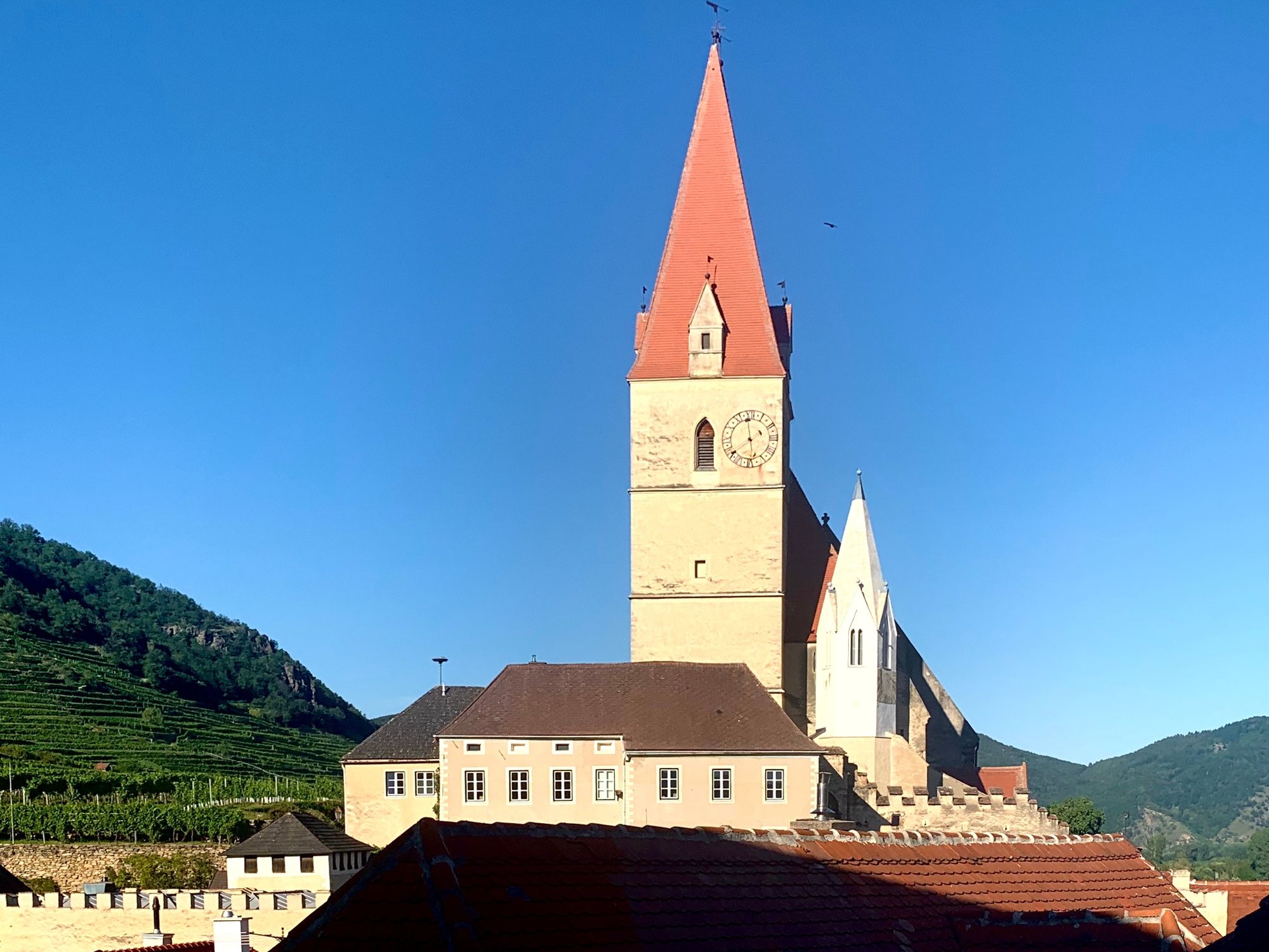
In Weißenkirchen on the market square
- Profilo altimetrico
-


-
-
AutoreIl tour Dürnstein - Weißenkirchen, Stage 2, World Heritage Trail Wachau Valley è utilizzato da outdooractive.com fornito.
GPS Downloads


Info generali
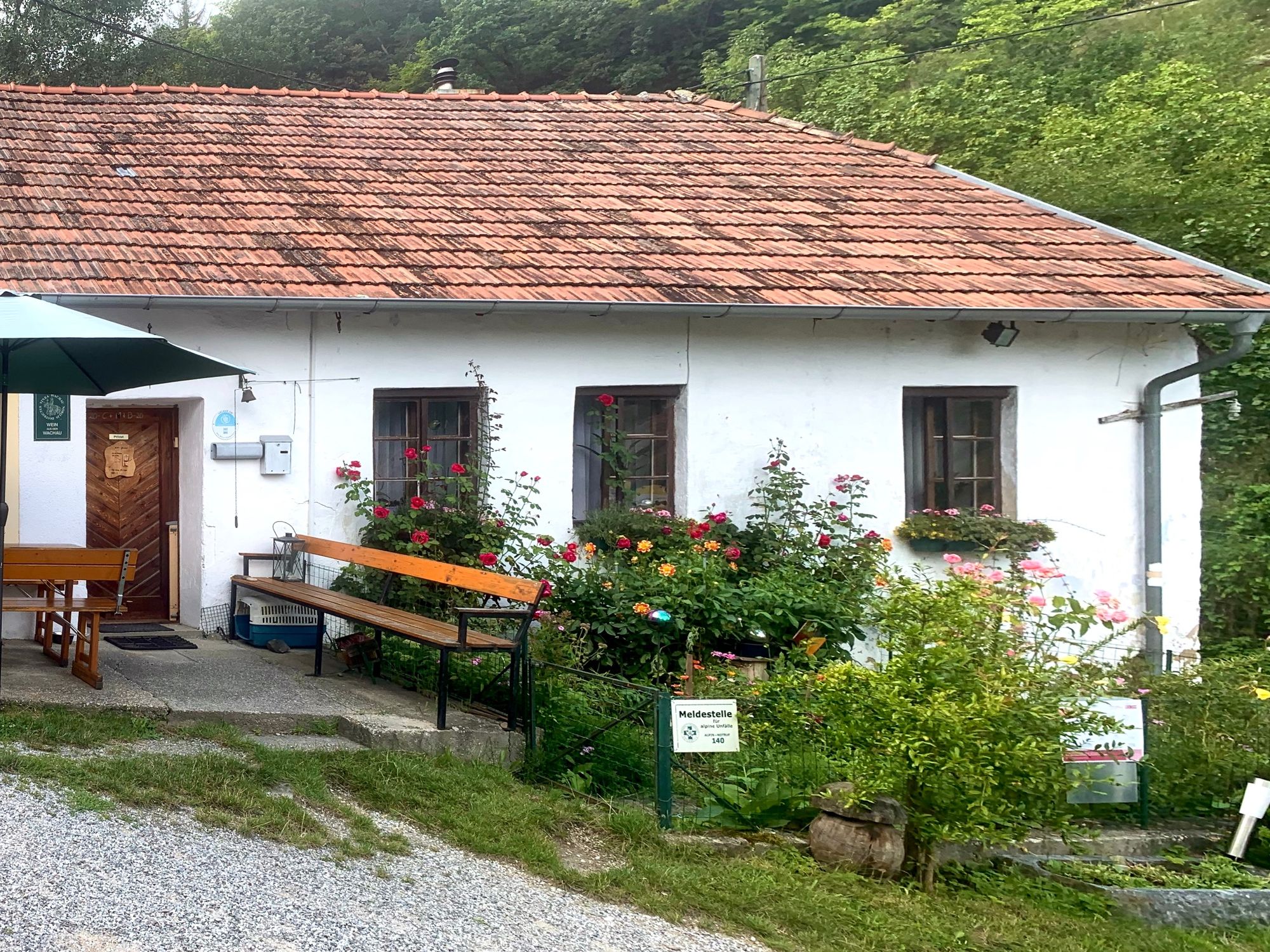
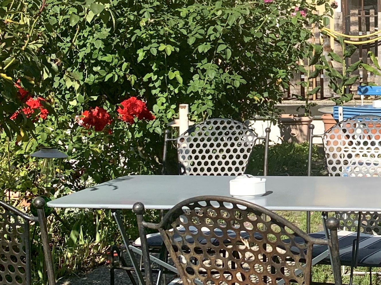
Punto di ristoro
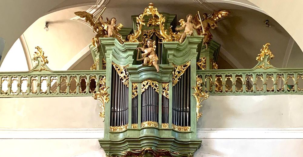
Culturale/Storico
Promettente
Altri tour nelle regioni
-
Donau Niederösterreich
2289
-
Dunkelsteinerwald
1373
-
Rossatz-Arnsdorf
714


