
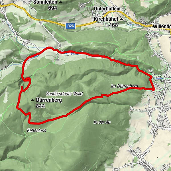
Dati percorsi
12,02km
422
- 754m
319hm
03:00h
- Descrizione rapida
-
Wandertour
- Valutazione
-
- Punto di partenza
-
Parkplatz Freibad Würflach
- Percorso
-
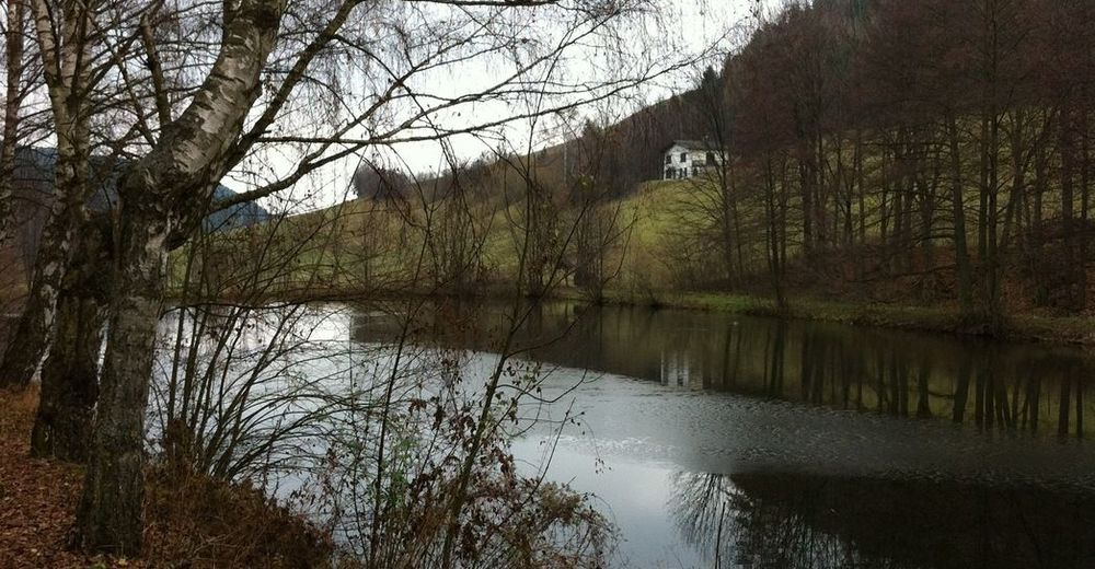
Schrattenstein6,2 kmGasthaus zum alten Schlossteich7,3 kmSchrattenbach7,3 kmGreith8,3 kmViehlucka10,7 kmKlammWirtin Schneebergland11,1 kmJohannesquelle11,5 km
- Punto più alto
- 754 m

GPS Downloads


Condizioni dei sentieri
Asfalto
Ghiaia
Prato
Foresta
Roccia
Esposta
Altri tour nelle regioni


