


Dati percorsi
6,29km
637
- 1.123m
502hm
502hm
01:31h
- Descrizione rapida
-
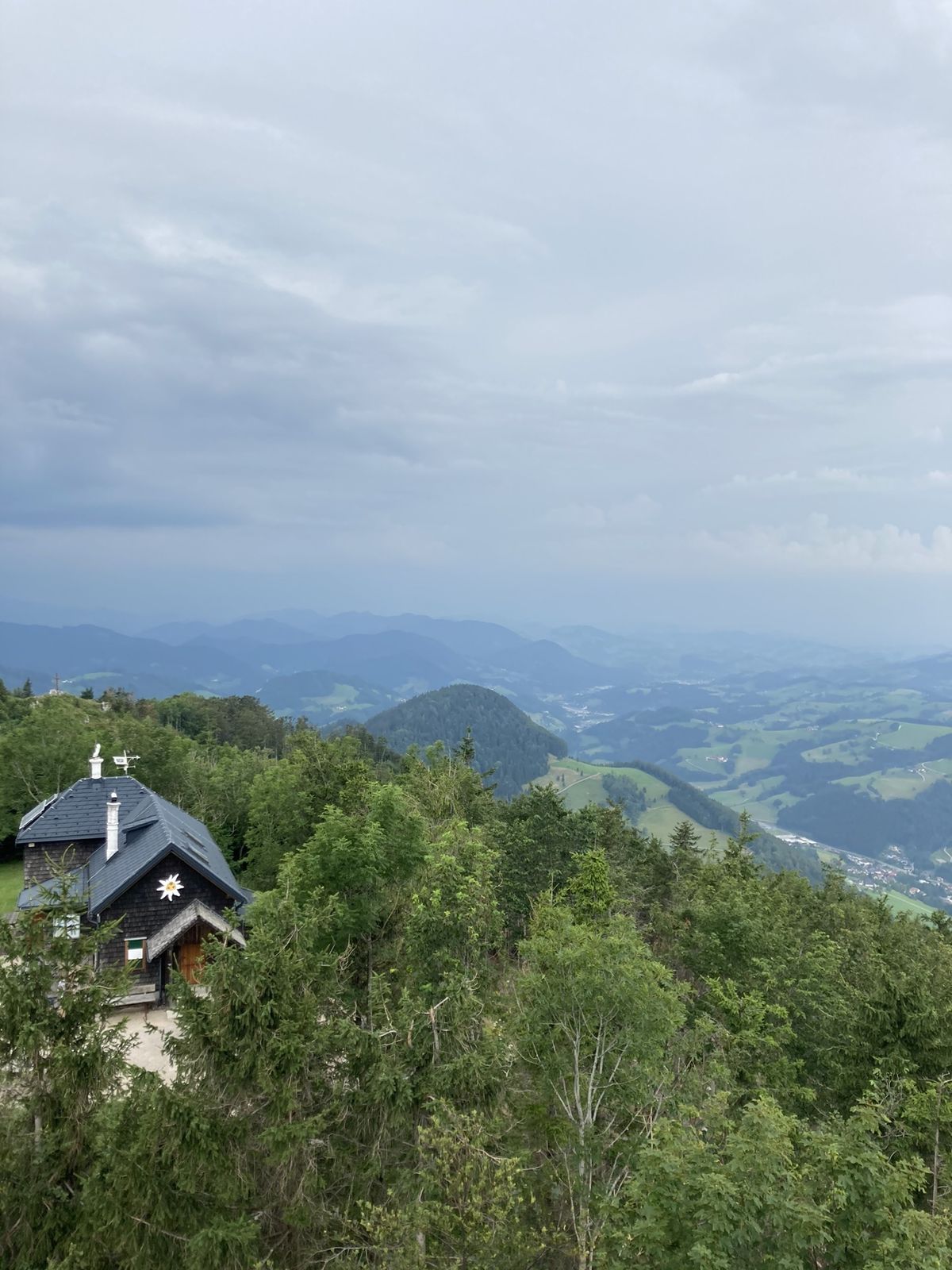
schöne wanderung auf den prochenberg
- Difficoltà
-
facile
- Valutazione
-
- Percorso
-
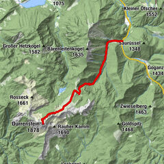
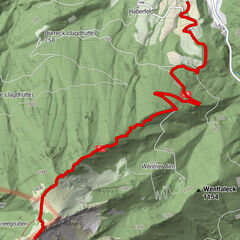
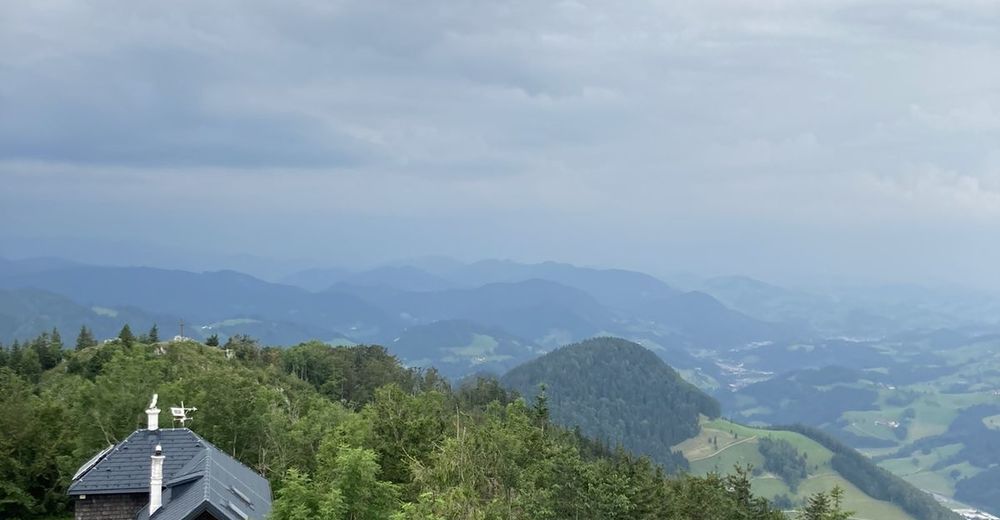
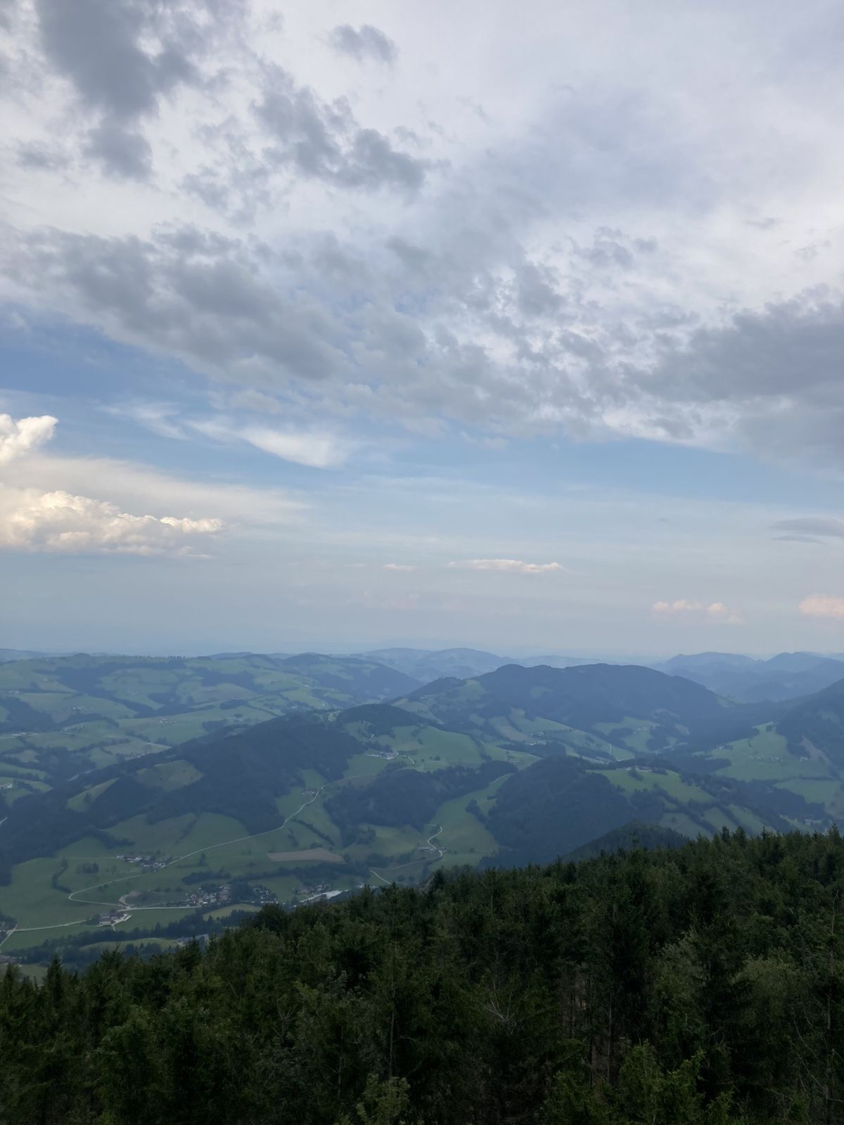
Haselstein1,7 kmProchenberghütte2,9 kmProchenberg (1.123 m)3,2 kmHaselstein4,5 kmProchenberg6,3 km
- Punto più alto
- 1.123 m


GPS Downloads


Altri tour nelle regioni
-
Mostviertel
2453
-
Eisenstraße Niederösterreich
917
-
Ybbsitz
221