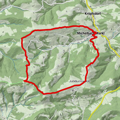
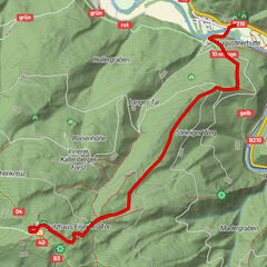
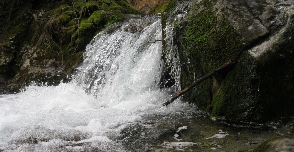
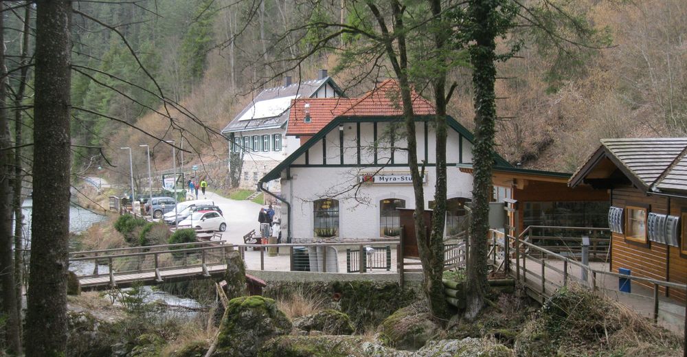
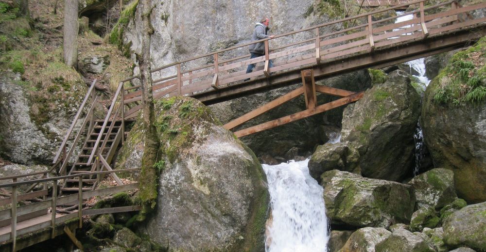
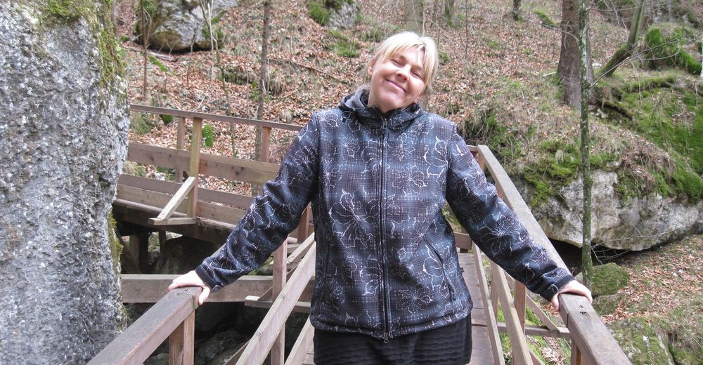
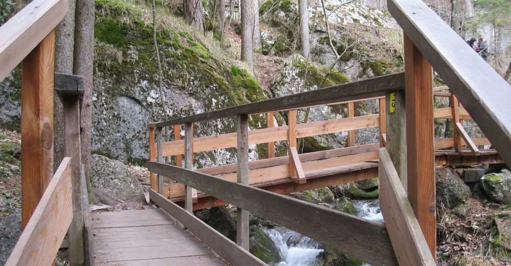
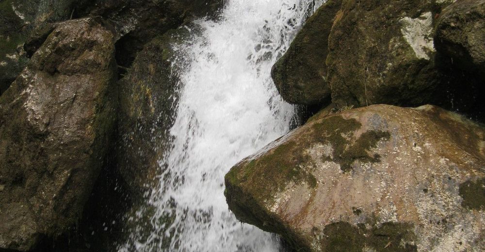
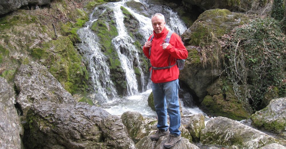
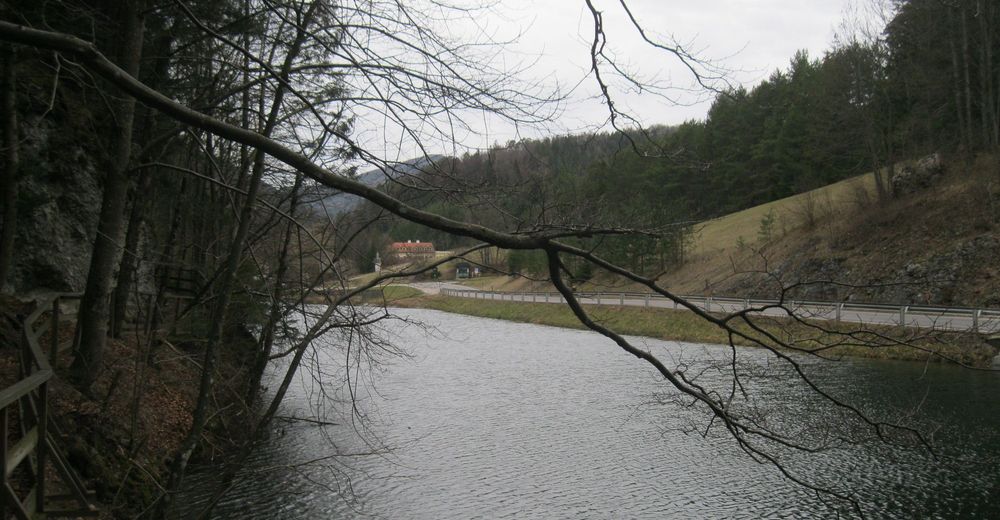
Gutensteiner Alpen: Myrafälle und Hausstein

Escursionismo
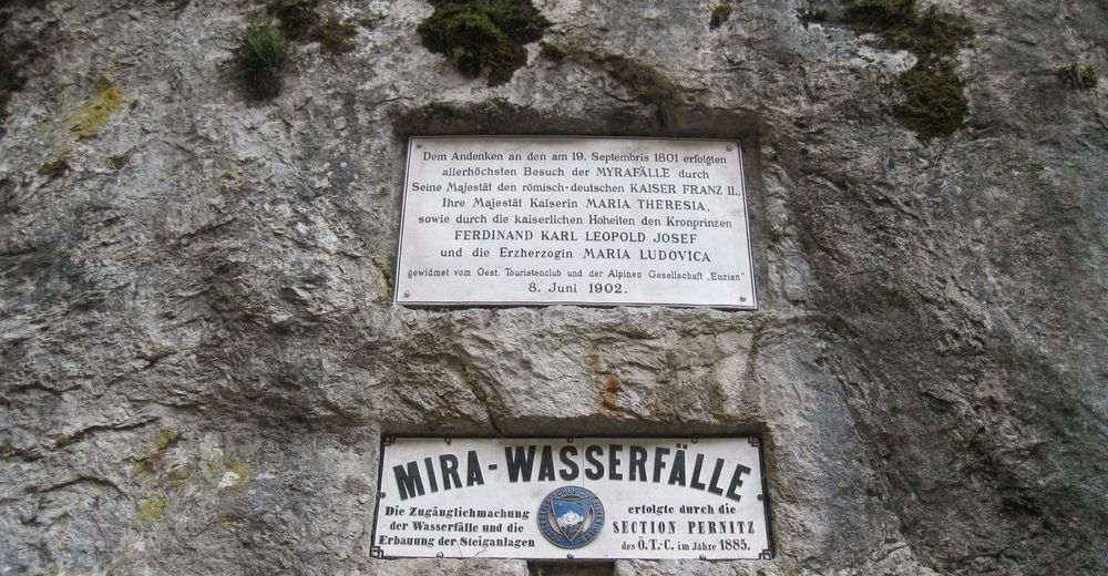
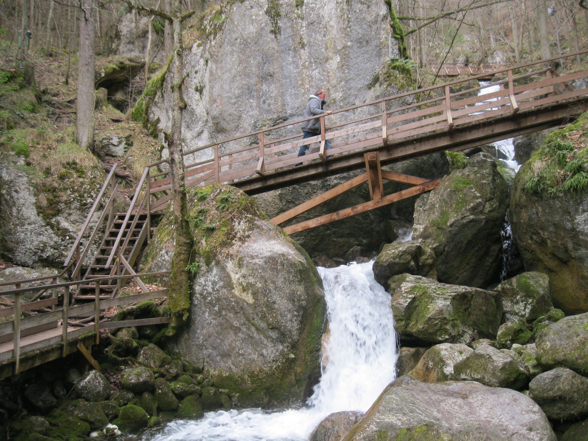
© gert gasperin
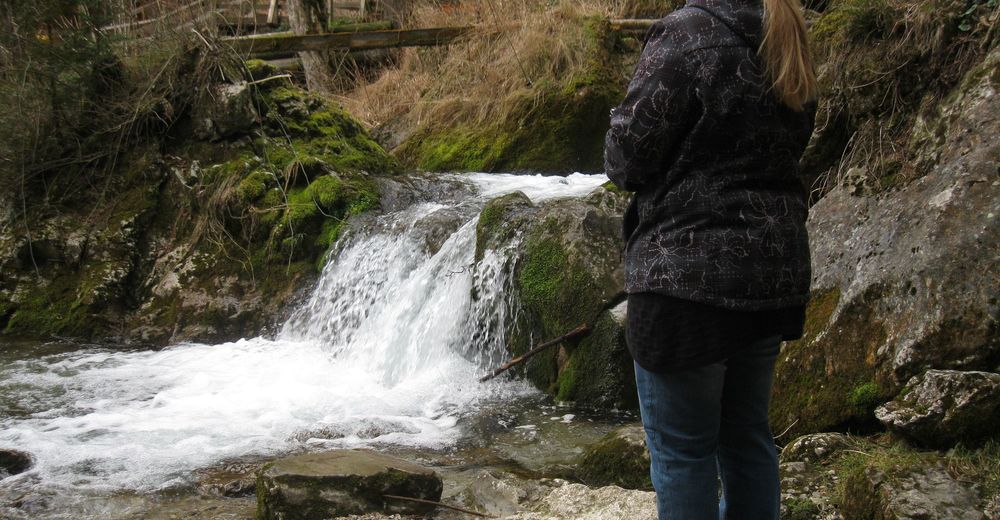
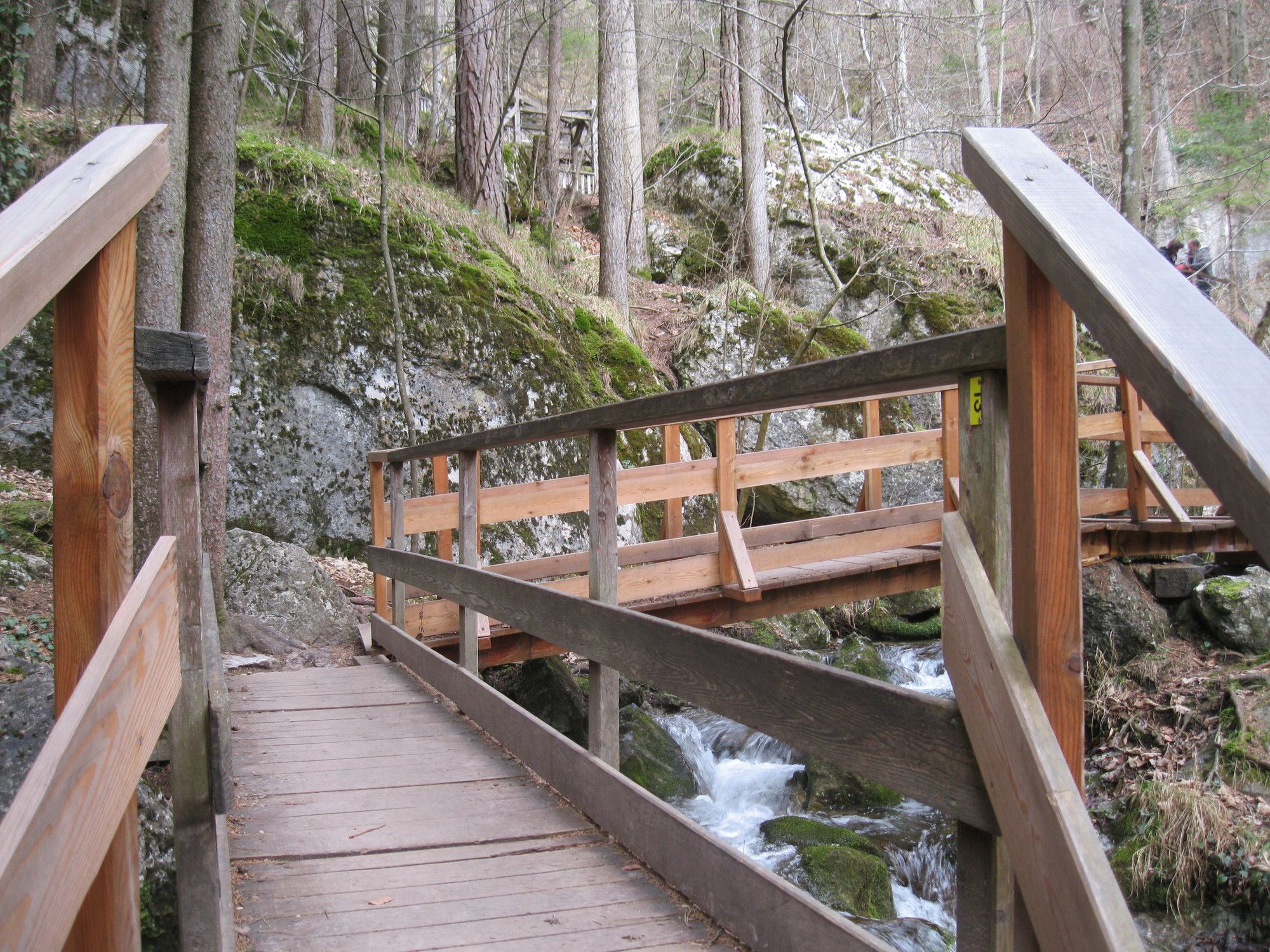
© gert gasperin
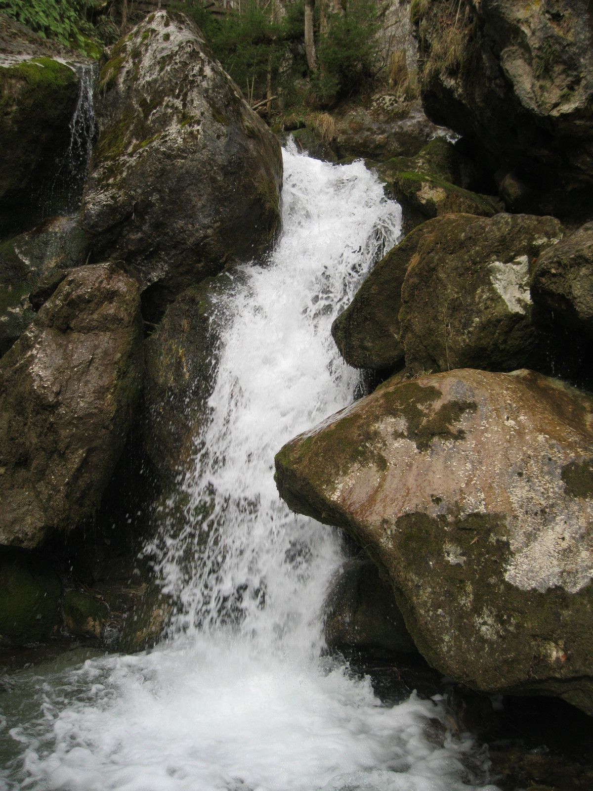
© gert gasperin
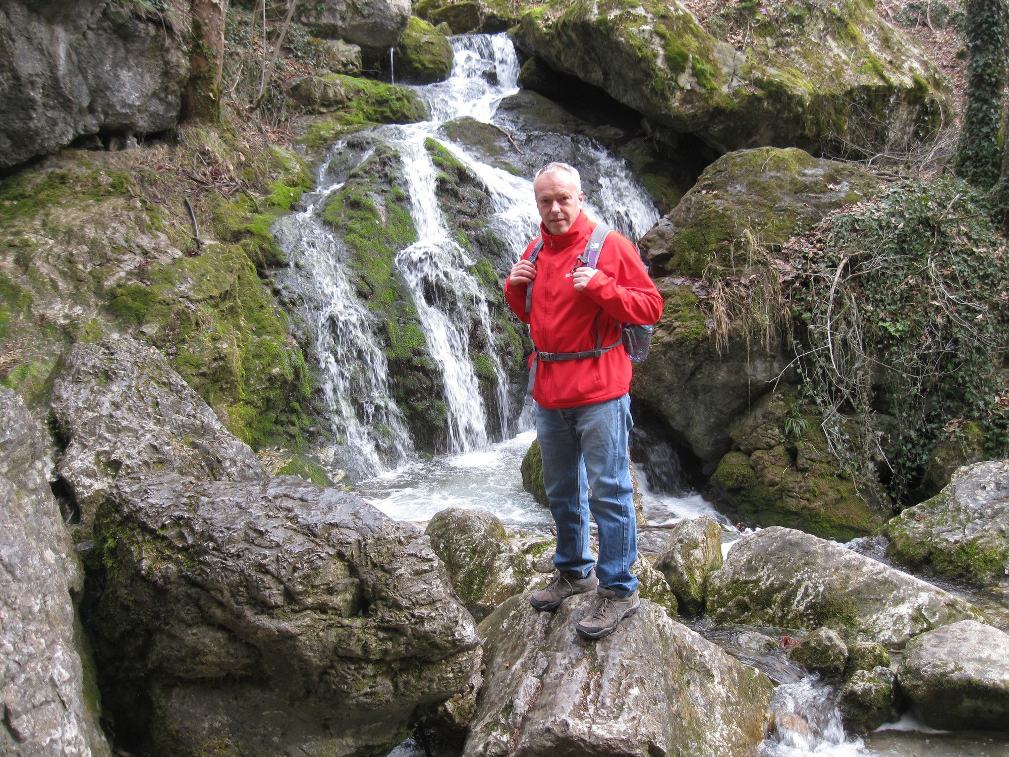
© gert gasperin
© gert gasperin
© gert gasperin
© gert gasperin
© gert gasperin
© gert gasperin
© gert gasperin
Dati percorsi
2,92km
470
- 620m
144hm
137hm
03:00h

- Difficoltà
-
facile
- Valutazione
-
- Percorso
-
Haussteinhöhle0,5 kmHaussteinlucke0,6 kmKleine Haussteinlucke0,6 kmHaussteinkluft0,6 kmKarnerwirt1,0 kmGipfelkreuz1,5 kmHausstein (668 m)1,5 kmSchneebergblick1,8 kmMyra-Stubn2,4 kmMuggendorf2,9 km
- La stagione migliore
-
genfebmaraprmaggiulugagosetottnovdic
- Punto più alto
- 620 m


GPS Downloads


Condizioni dei sentieri
Asfalto
Ghiaia
Prato
Foresta
Roccia
Esposta
Altri tour nelle regioni
-
Wienerwald
4219
-
Schneebergland - Wiener Alpen
2457
-
Muggendorf / Thal
708