Göstling Leckermoor Wies- u. Schwarzalm Blachlboden Hochkar-Parkplatz 09.10.2014

Escursionismo

© hel

© hel

© hel

© hel

© hel

© hel

© hel

© hel

© hel

© hel
Dati percorsi
19,1km
588
- 1.687m
1.480hm
570hm
07:00h

- Descrizione rapida
-
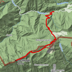
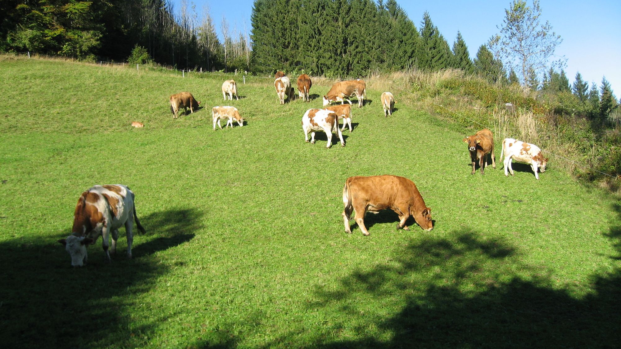
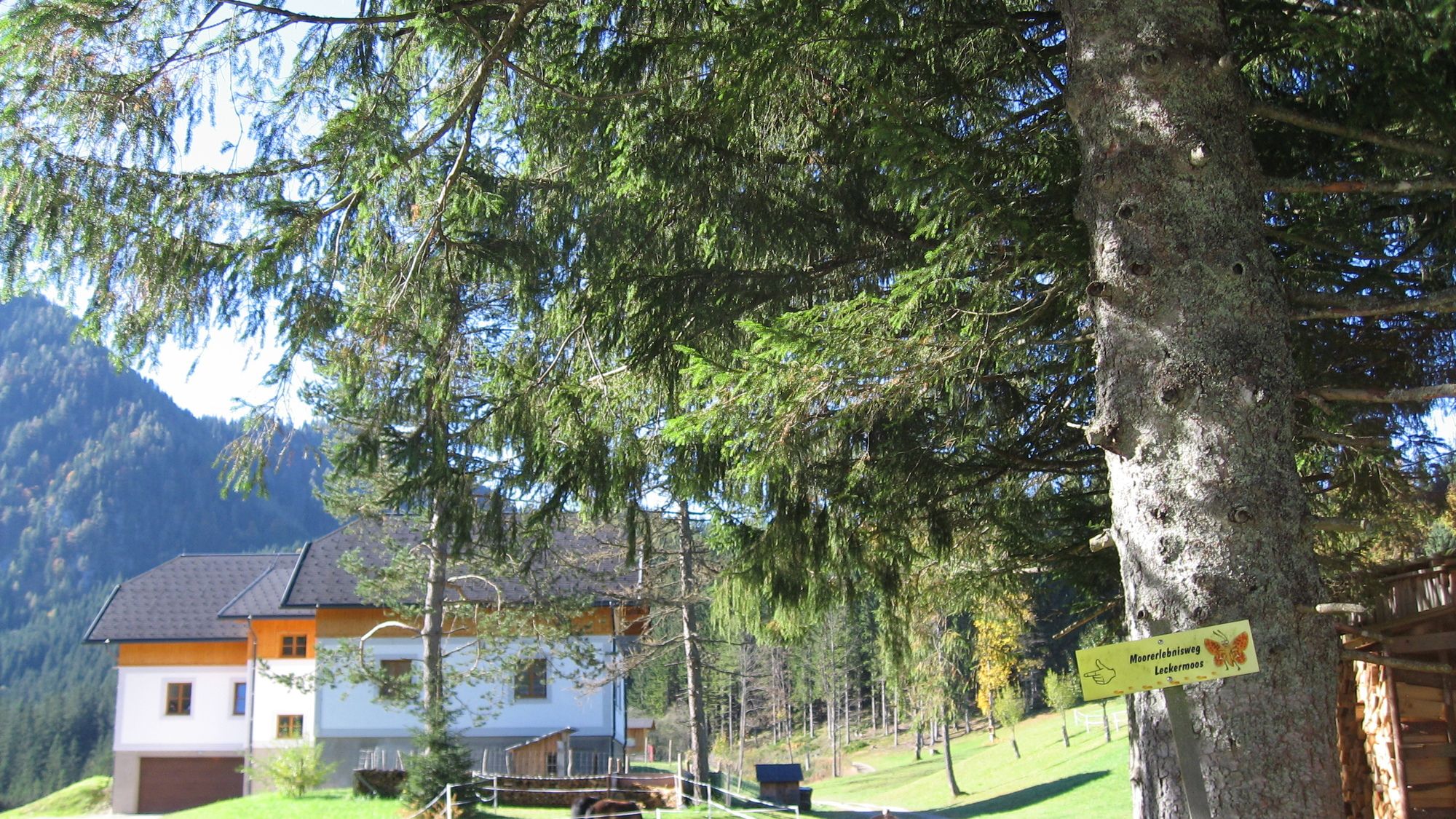
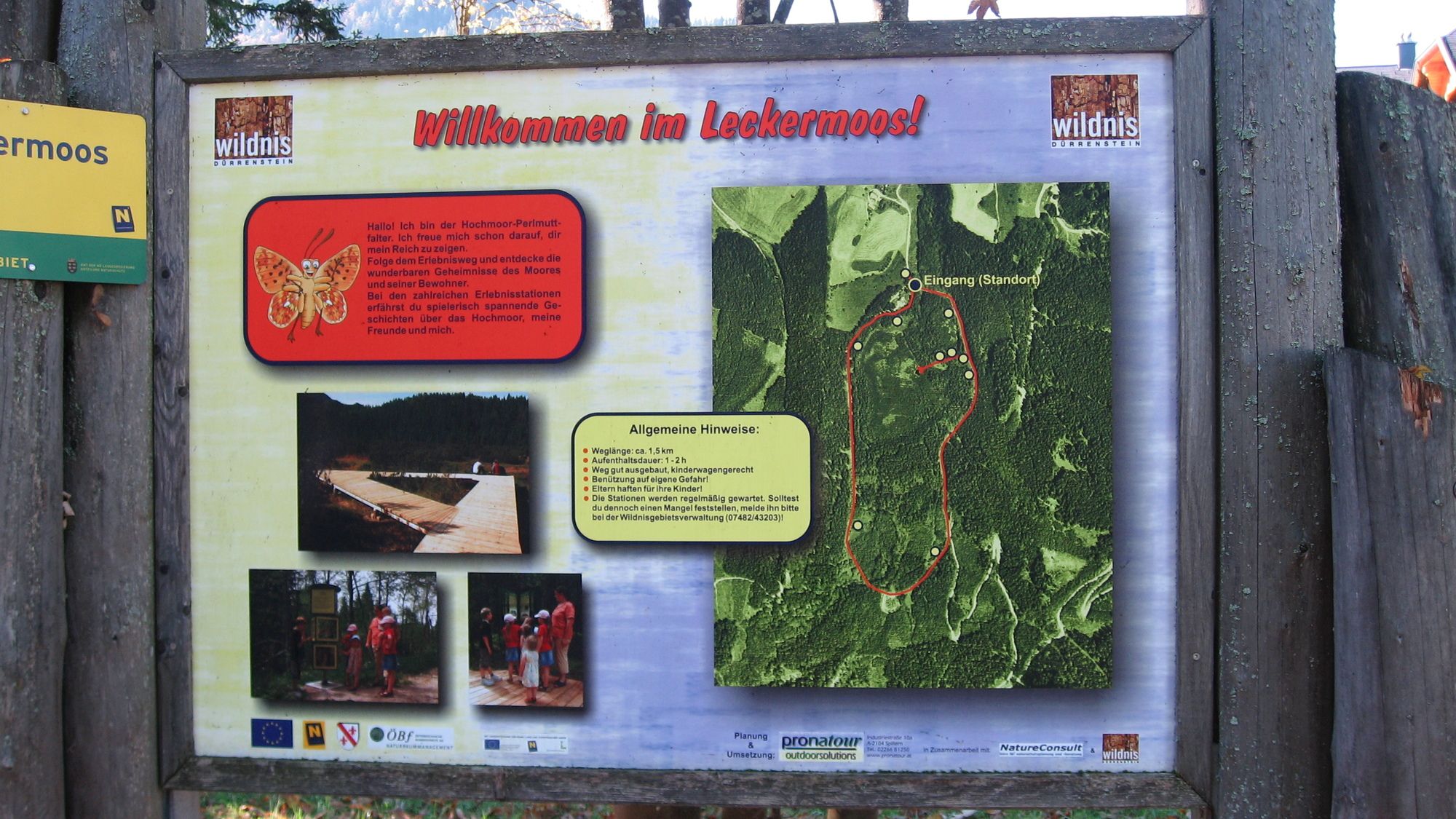
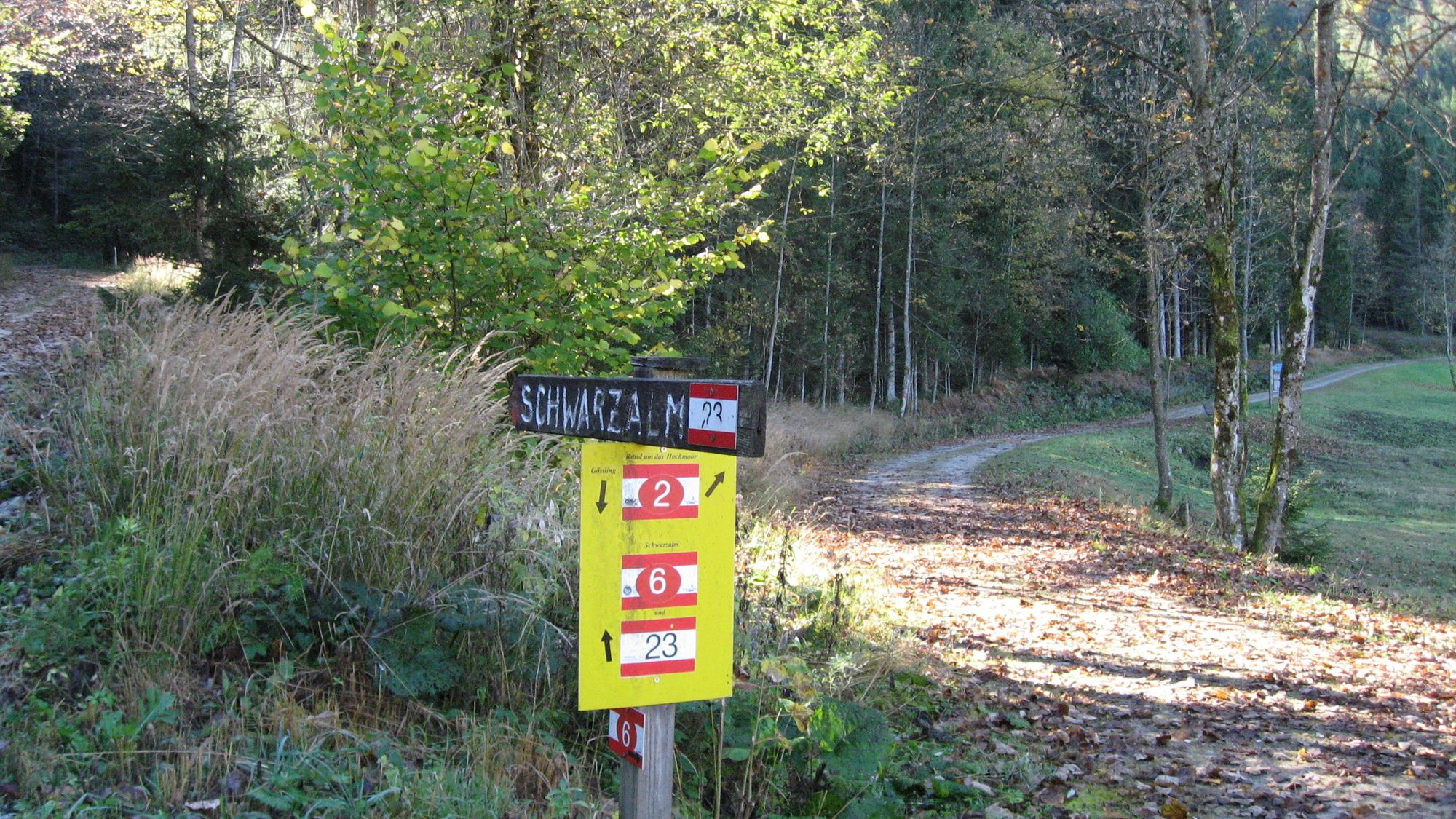
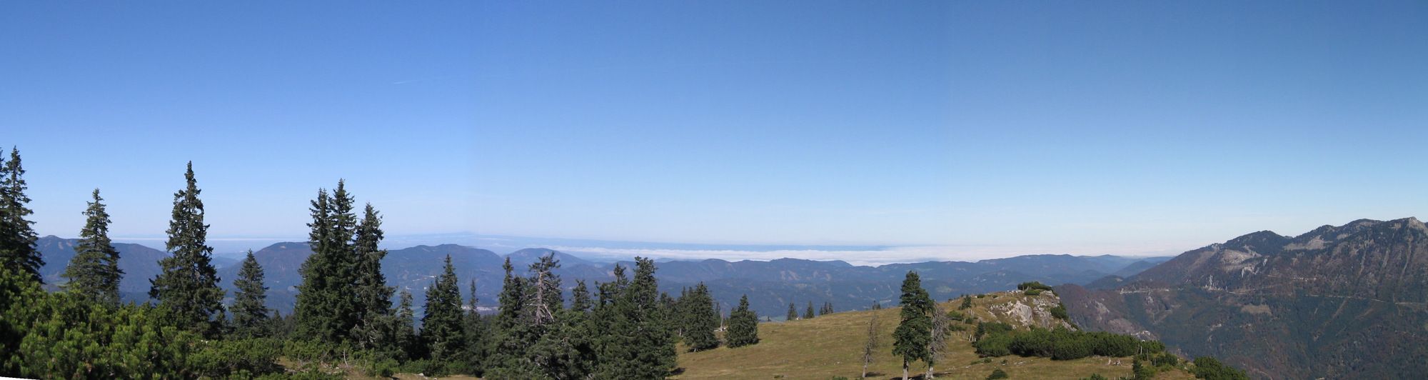
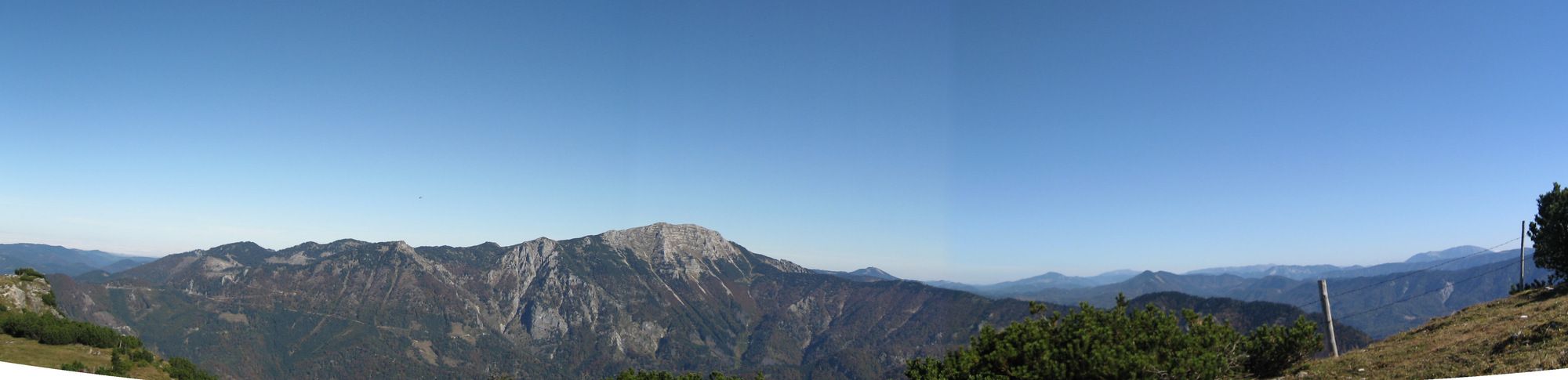
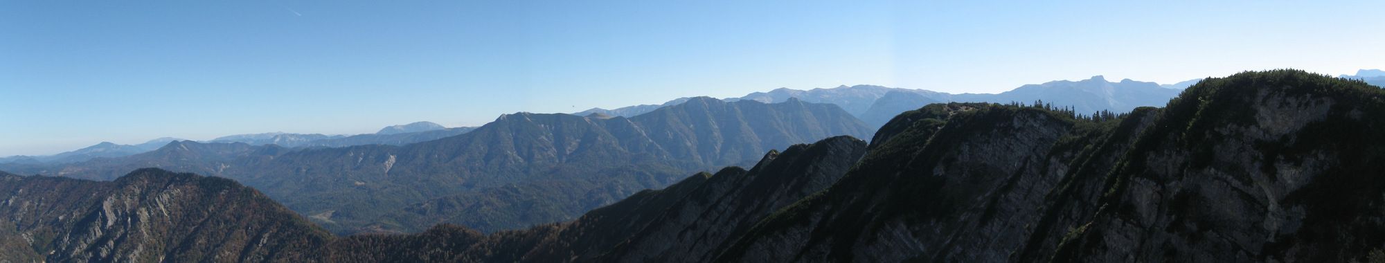
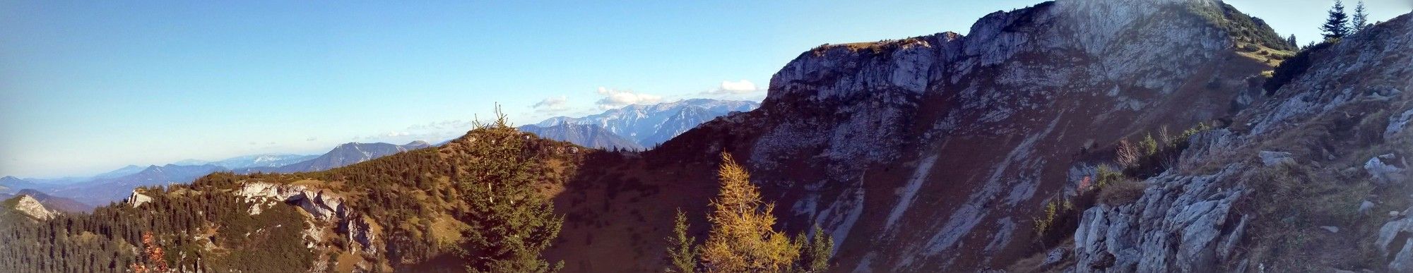
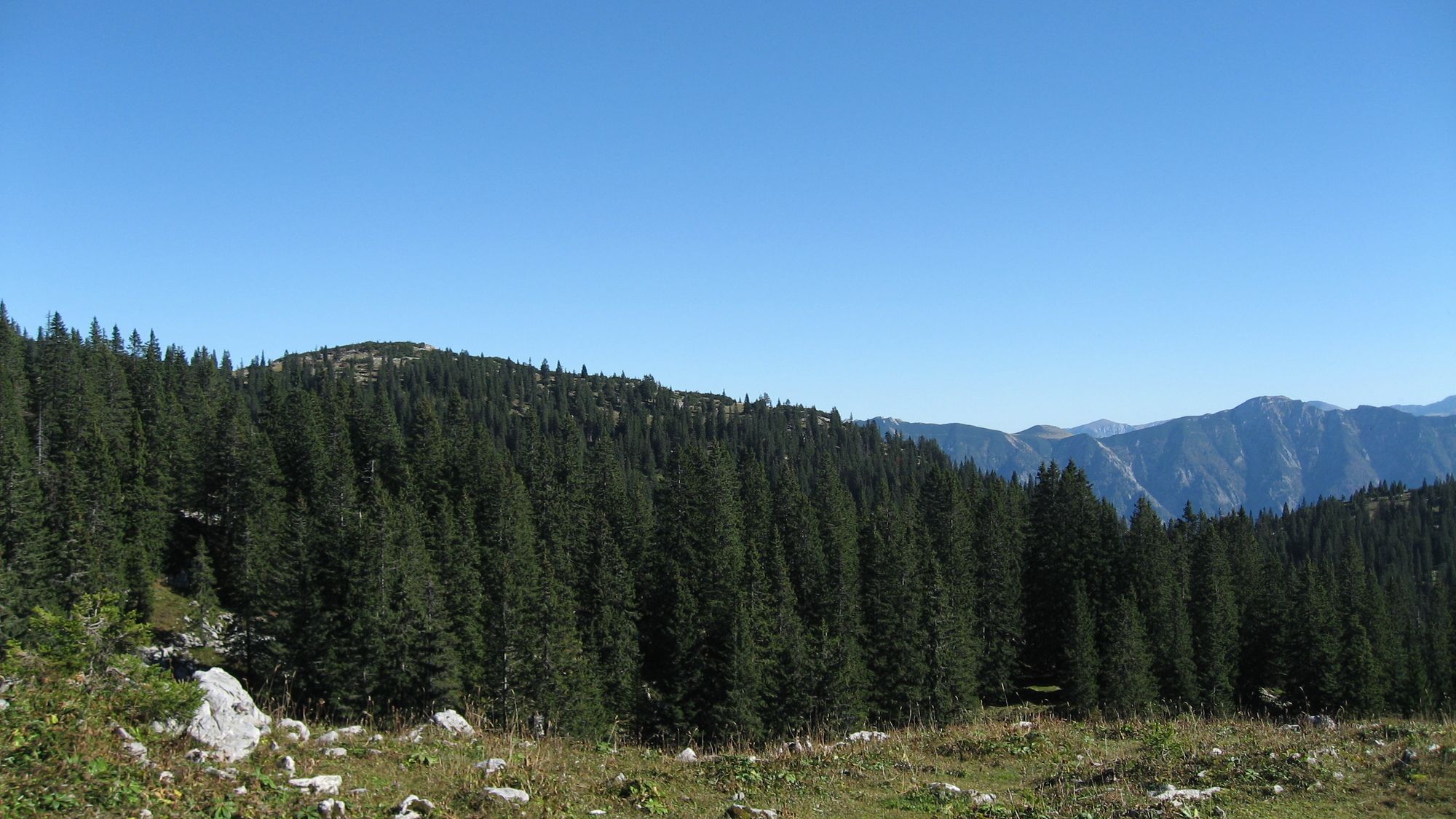
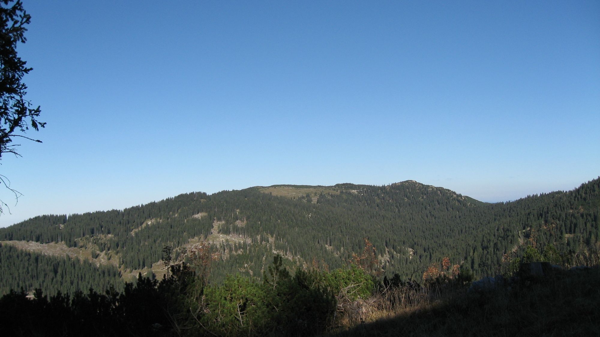
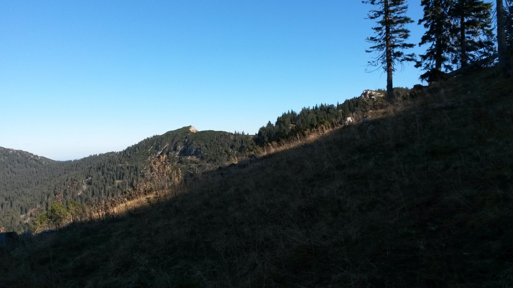
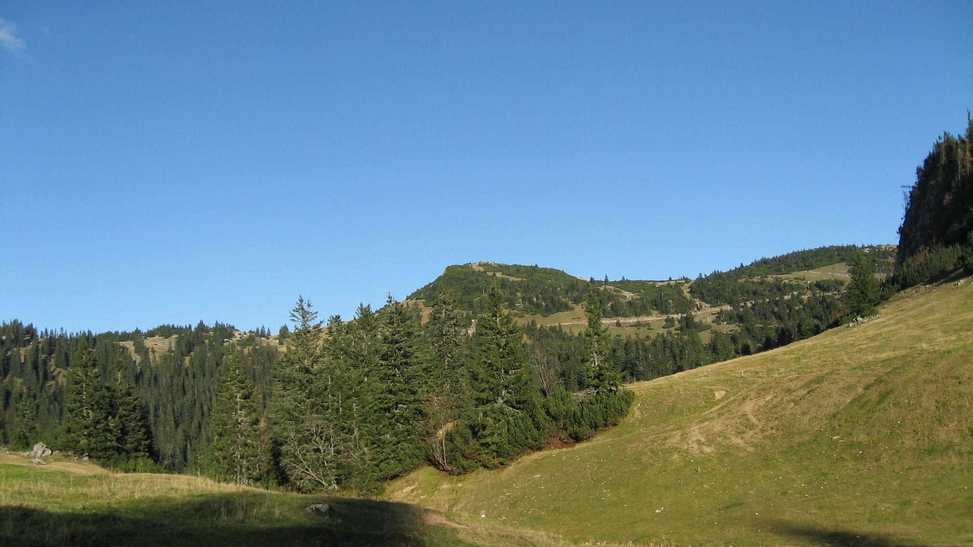
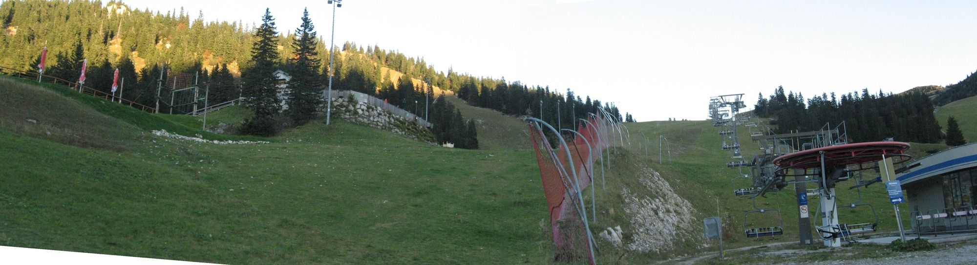
Wanderung von Göstling über das Leckermoor auf das Hochkar zum oberen Hochkar-Parkplatz
- Difficoltà
-
difficile
- Valutazione
-
- Punto di partenza
-
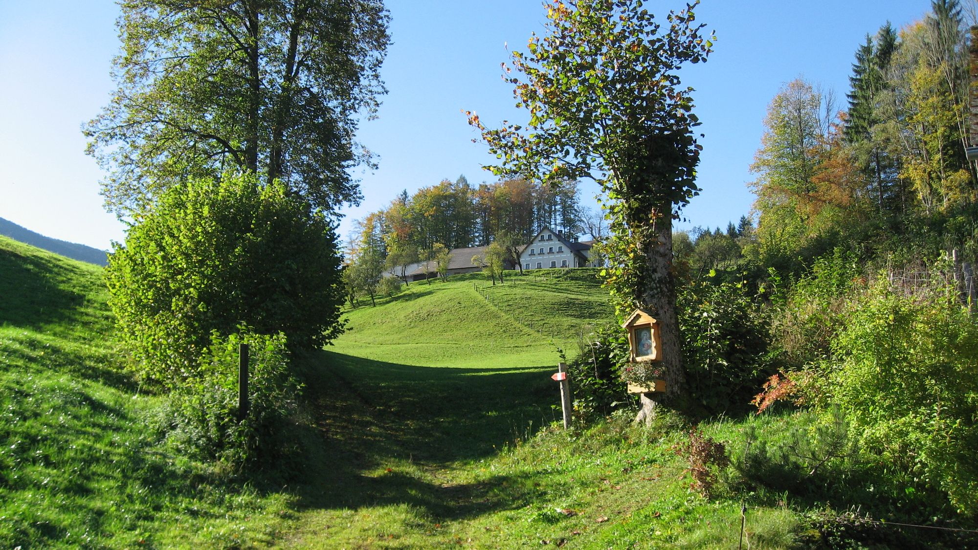
im Graben am Grabenweg
- Percorso
-
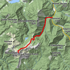
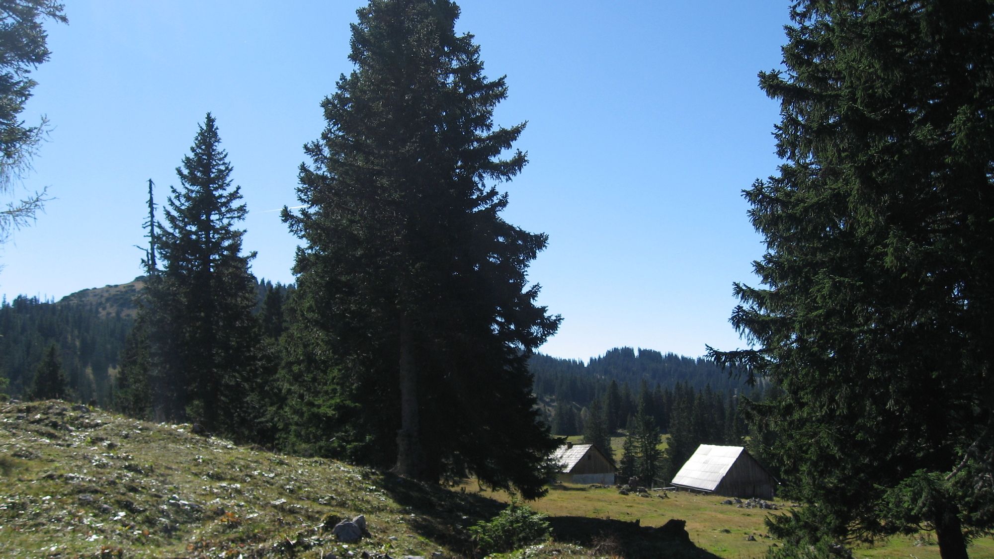
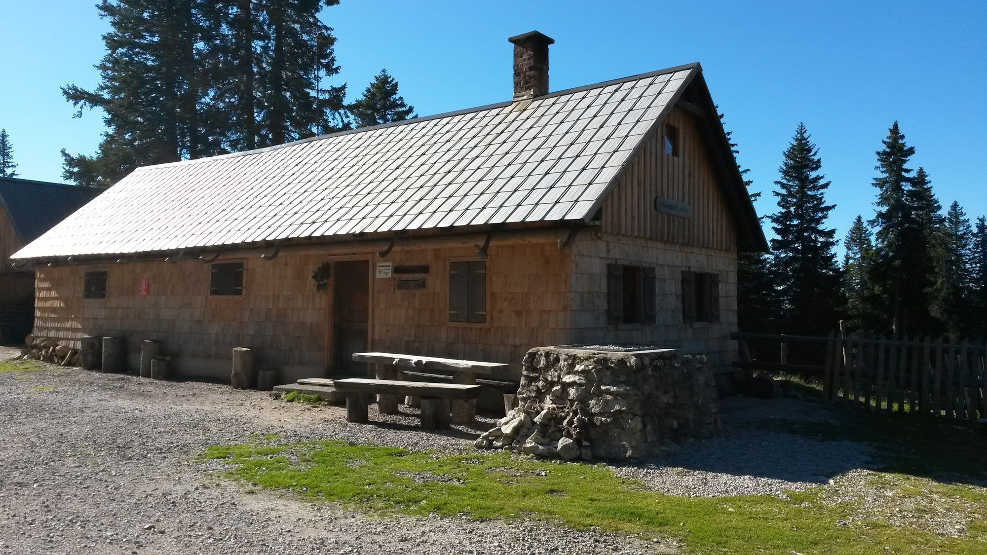
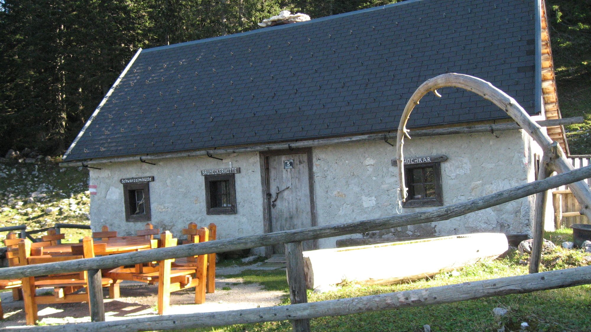
Kesselberg (1.657 m)10,7 kmSchwarzalmhütte12,4 kmBrunnecker Hütte14,7 km
- La stagione migliore
-
genfebmaraprmaggiulugagosetottnovdic
- Punto più alto
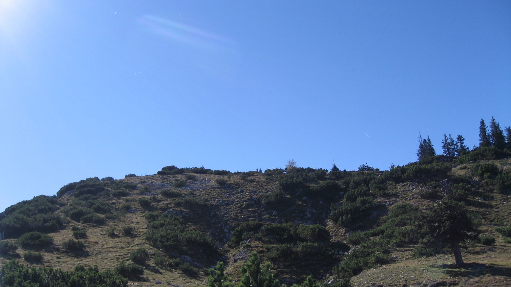
- Heuwies Schmalzstein (1.687 m)
- Destinazione
-
über Leckermoor zum Hochkar Parkplatz
- Riposo/Ritiro
-
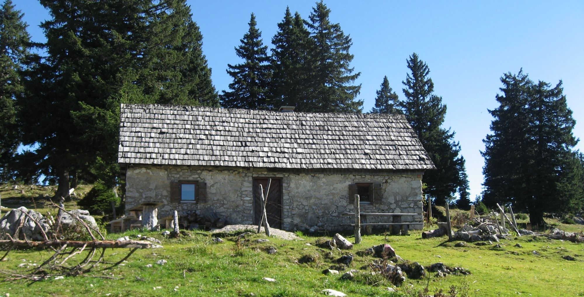
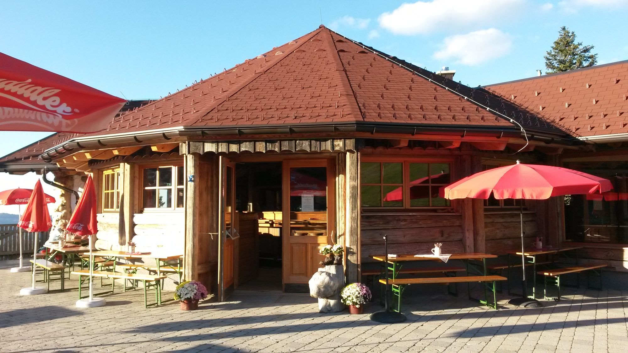
Latschenalm etc.
- Cartine
-
bergfex, amap, kompass, opentopomap


- Fonte
- Erich Helferstorfer
GPS Downloads


Condizioni dei sentieri
Asfalto
(2%)
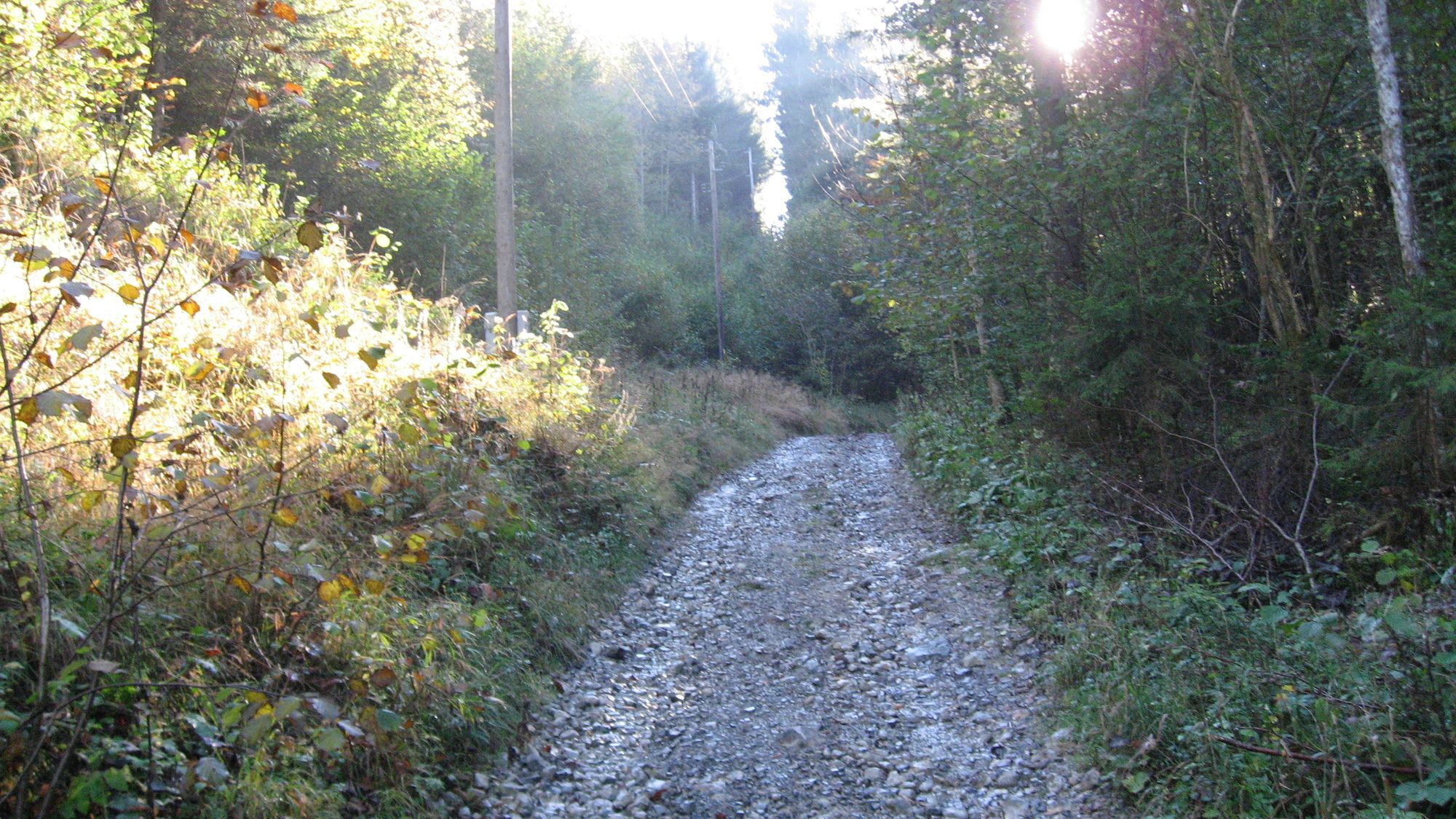
Ghiaia
(40%)
Prato
(40%)
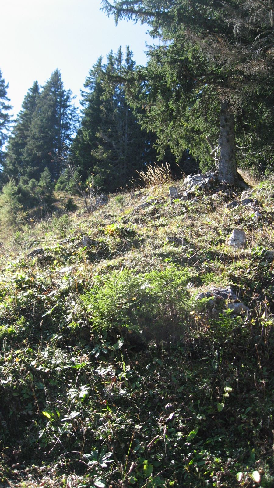
Foresta
(25%)
Roccia
Esposta
Altri tour nelle regioni
-
Erzberg Leoben
2529
-
Hochschwab
1273
-
Hochkar
223