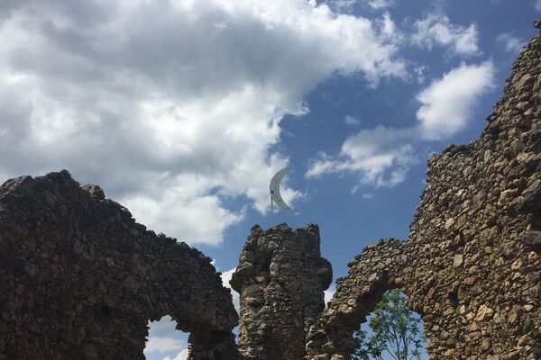
© Bwag, CC-BY-SA-4.0 - Wiener Alpen in Niederösterreich

© haefer-cc-by-sa3.0AT
- Descrizione rapida
-
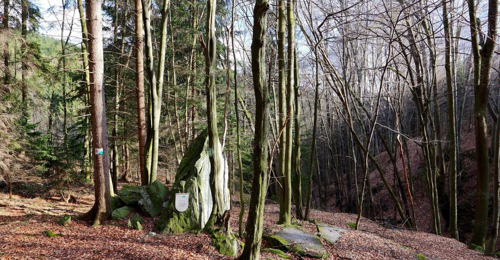
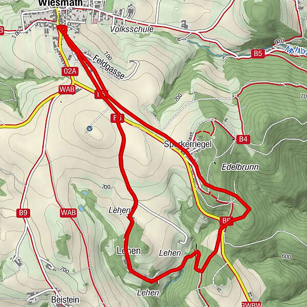
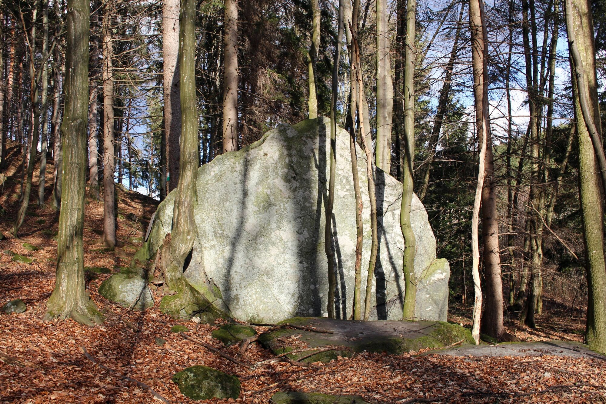
Ein mittelschwerer Wanderweg von Wiesmath zum Naturdenkmal Teufelsstein.
- Difficoltà
-
facile
- Valutazione
-
- Percorso
-
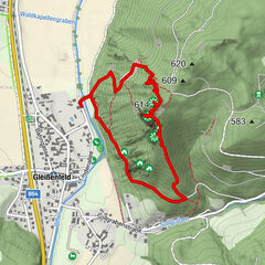
Wiesmath0,0 kmLehen2,2 kmSperkerriegel4,6 kmWiesmath6,0 km
- La stagione migliore
-
genfebmaraprmaggiulugagosetottnovdic
- Punto più alto
- 734 m
- Destinazione
-
Parkplatz Ortszentrum, Wiesmath
- Profilo altimetrico
-


- Autore
-
Il tour Teufelsstein è utilizzato da outdooractive.com fornito.
GPS Downloads


Info generali
Culturale/Storico
Promettente
Altri tour nelle regioni
-
Wiener Alpen
3048
-
Bucklige Welt - Wiener Alpen
792
-
Wiesmath
231
")