© Mostviertel - Franz Weingartner - Fotograf A-3300 Amstetten

- Descrizione rapida
-
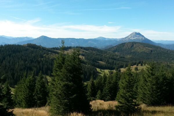
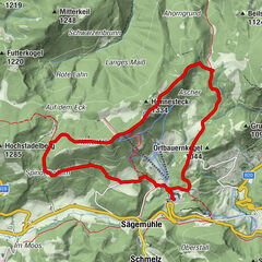
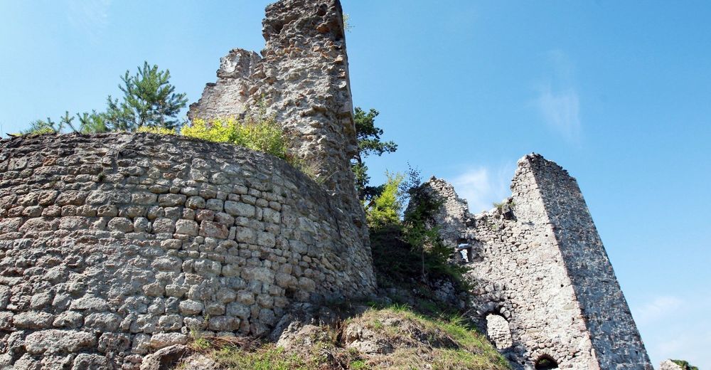
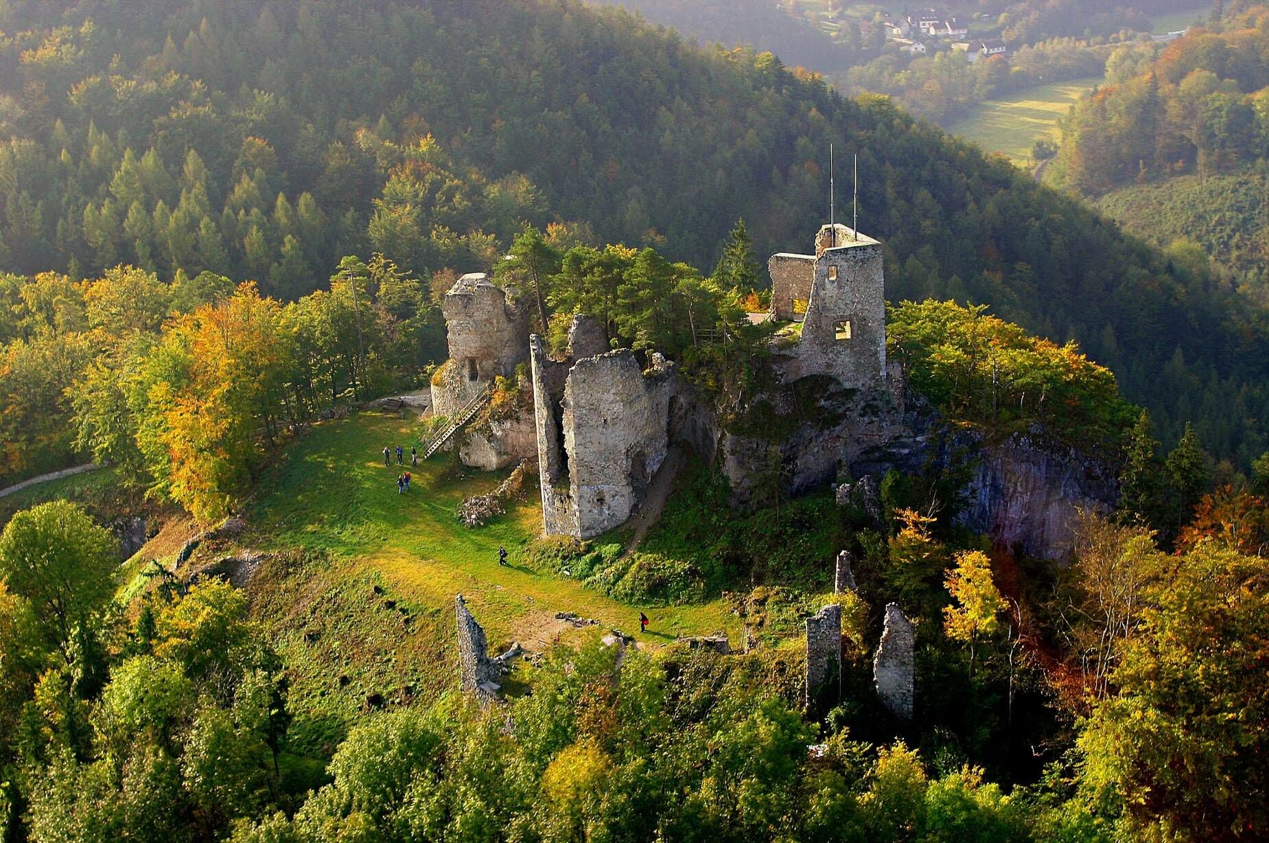
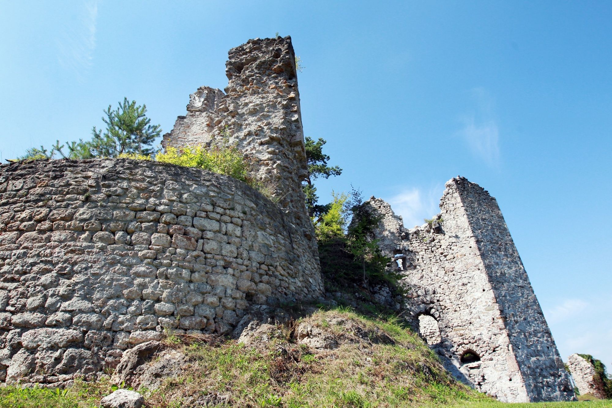
Eine aussichtsreiche Wanderung zur Ruine Rabenstein an der Pielach.
- Difficoltà
-
facile
- Valutazione
-
- Percorso
-
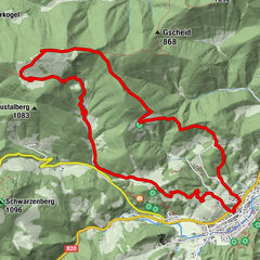
Rabensteinkluft1,0 kmRabenstein an der Pielach1,9 km
- La stagione migliore
-
genfebmaraprmaggiulugagosetottnovdic
- Punto più alto
- 471 m
- Destinazione
-
Feuerwehrhaus Rabenstein
- Profilo altimetrico
-

- Autore
-
Il tour Wanderung zur Ruine Rabenstein è utilizzato da outdooractive.com fornito.
GPS Downloads


Altri tour nelle regioni
-
Mostviertel
2471
-
Pielachtal
1116
-
Rabenstein an der Pielach
286