


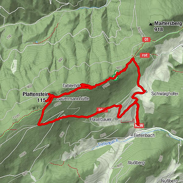
Dati percorsi
6,42km
720
- 1.150m
442hm
448hm
02:14h
- Descrizione rapida
-
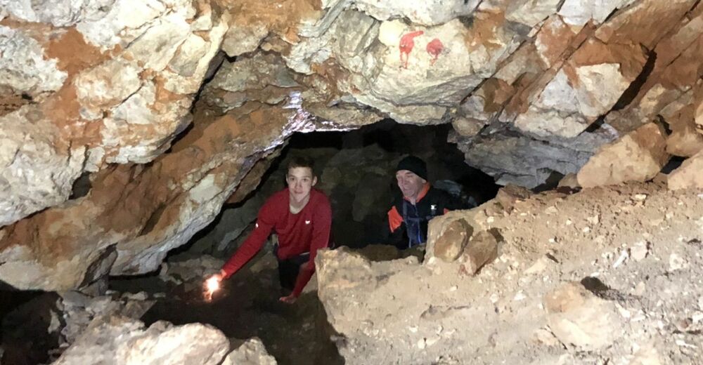
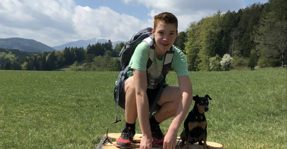
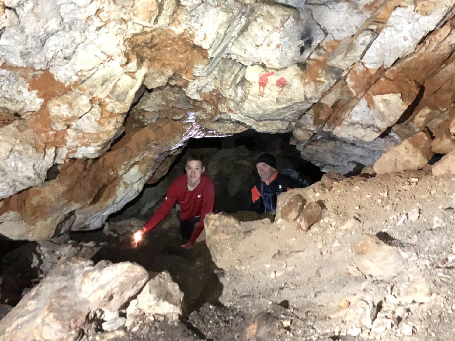
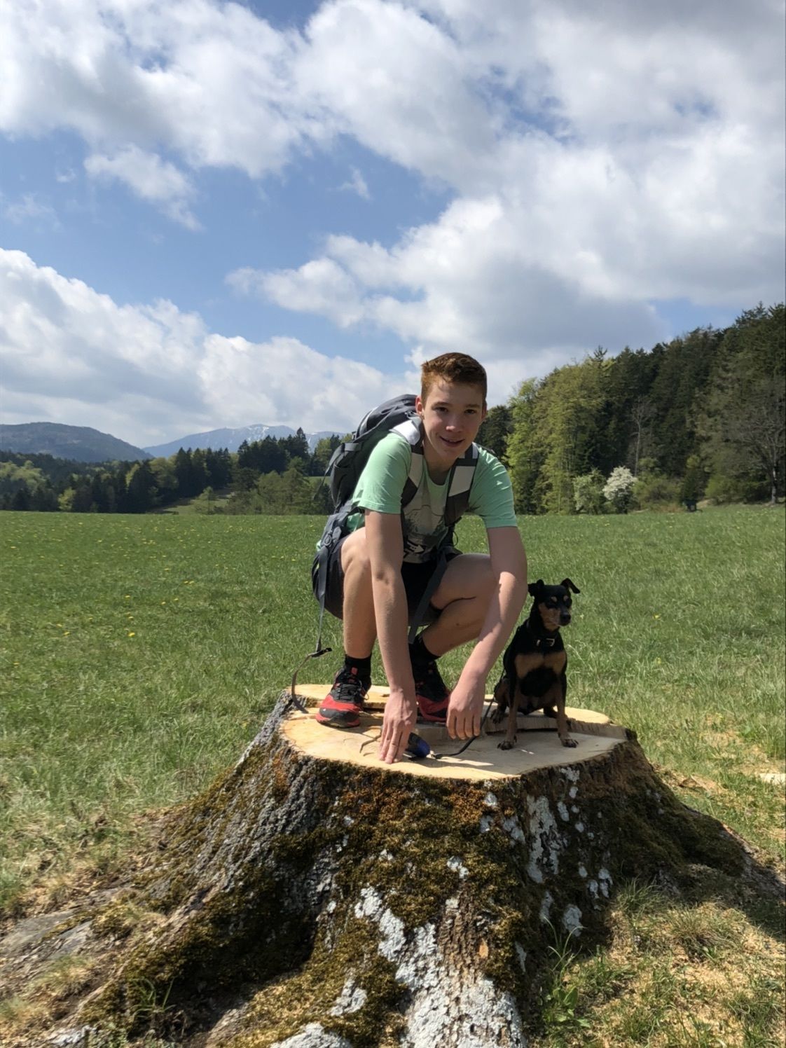
Familientour mit Höhlenerlebnis
- Difficoltà
-
facile
- Valutazione
-
- Percorso
-
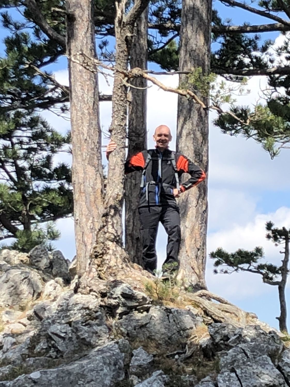
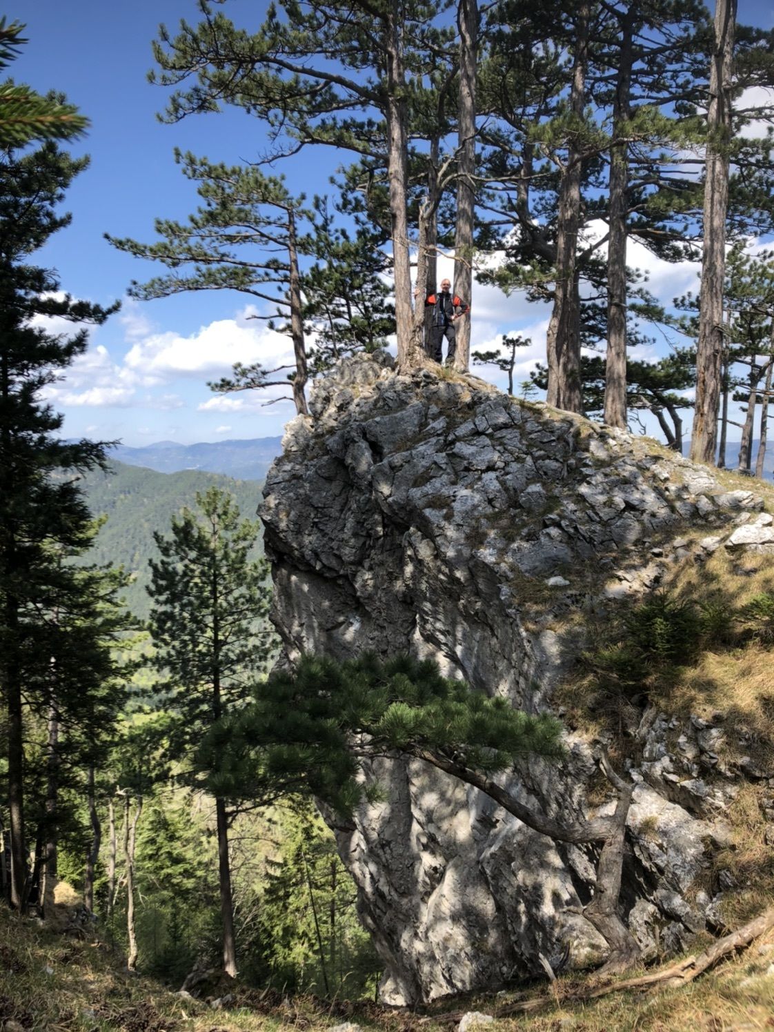
Sinterhöhle1,7 kmFelsendachhöhle2,3 kmTablerloch2,5 kmMoosloch2,7 kmPlattenstein (1.154 m)3,5 kmGauermannhütte3,8 km
- Punto più alto
- 1.150 m


GPS Downloads


Altri tour nelle regioni
-
Wiener Alpen
3041
-
Schneebergland - Wiener Alpen
2451
-
Miesenbach
874


