Dati percorsi
5,45km
212
- 348m
132hm
132hm
01:40h
- Difficoltà
-
facile
- Valutazione
-
- Percorso
-
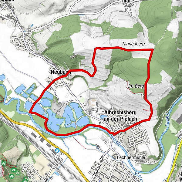
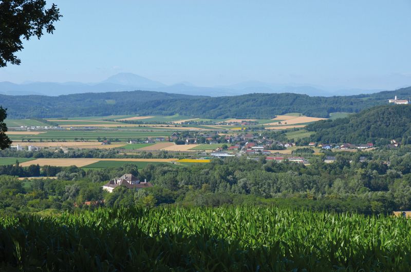
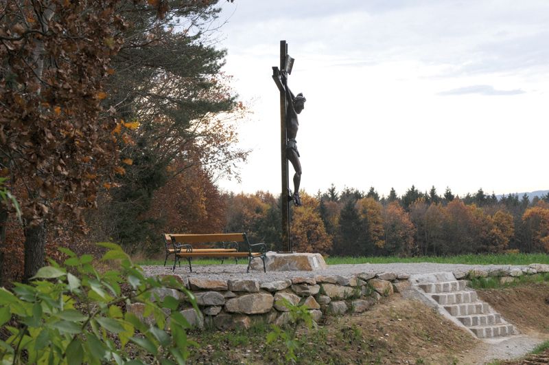
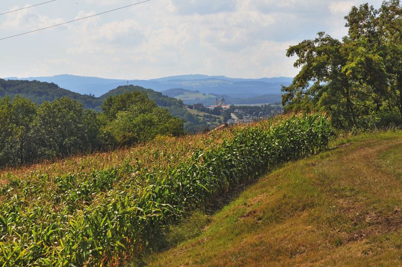
Tannenberg (352 m)1,3 kmNeubach2,9 kmGasthaus Lindenstub'n5,1 kmAlbrechtsberg an der Pielach5,2 km
- Punto più alto
- 348 m
- Fonte
- Marktgemeinde Loosdorf
GPS Downloads


Condizioni dei sentieri
Asfalto
Ghiaia
Prato
Foresta
Roccia
Esposta
Altri tour nelle regioni
-
Donau Niederösterreich
2288
-
Wachau - Nibelungengau - Kremstal
1359
-
Loosdorf
210