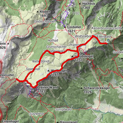
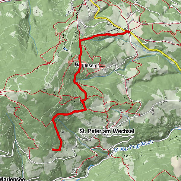
Wanderung zur Neuwaldhütte (von Unternberg)

Escursionismo


- Descrizione rapida
-
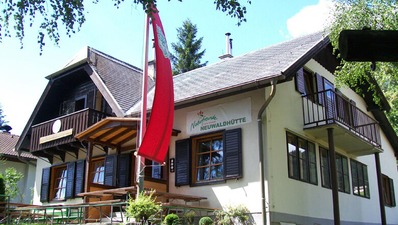
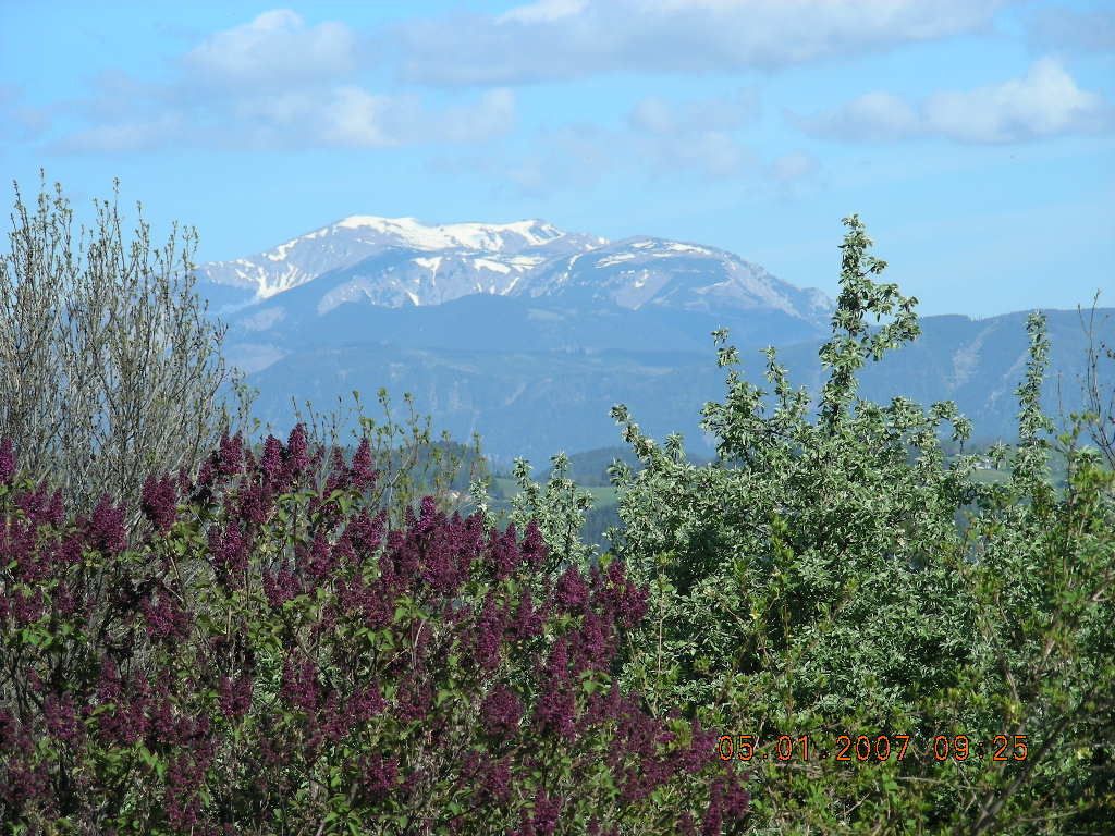
Schöne Wanderung von Unternberg bei St. Corona zur Neuwaldhütte, einer Selbstversorgerhütte am Kampstein.
- Difficoltà
-
facile
- Valutazione
-
- Percorso
-
Gasthaus FahrnerUnternberg0,1 km
- La stagione migliore
-
genfebmaraprmaggiulugagosetottnovdic
- Punto più alto
- 1.209 m
- Destinazione
-
Neuwaldhütte am Kampstein
- Profilo altimetrico
-


- Autore
-
Il tour Wanderung zur Neuwaldhütte (von Unternberg) è utilizzato da outdooractive.com fornito.
GPS Downloads


Altri tour nelle regioni
-
Wiener Alpen
3048
-
Wechselland - Wiener Alpen
1704
-
St. Corona am Wechsel
450