Dati percorsi
13,99km
684
- 1.616m
1.128hm
1.129hm
08:00h
- Descrizione rapida
-
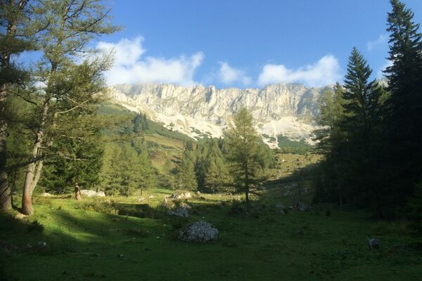
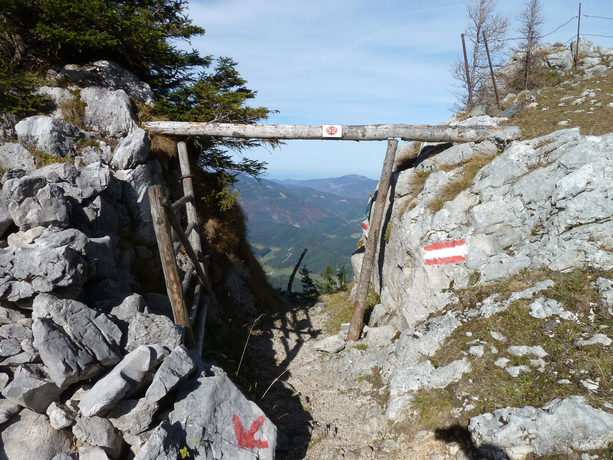
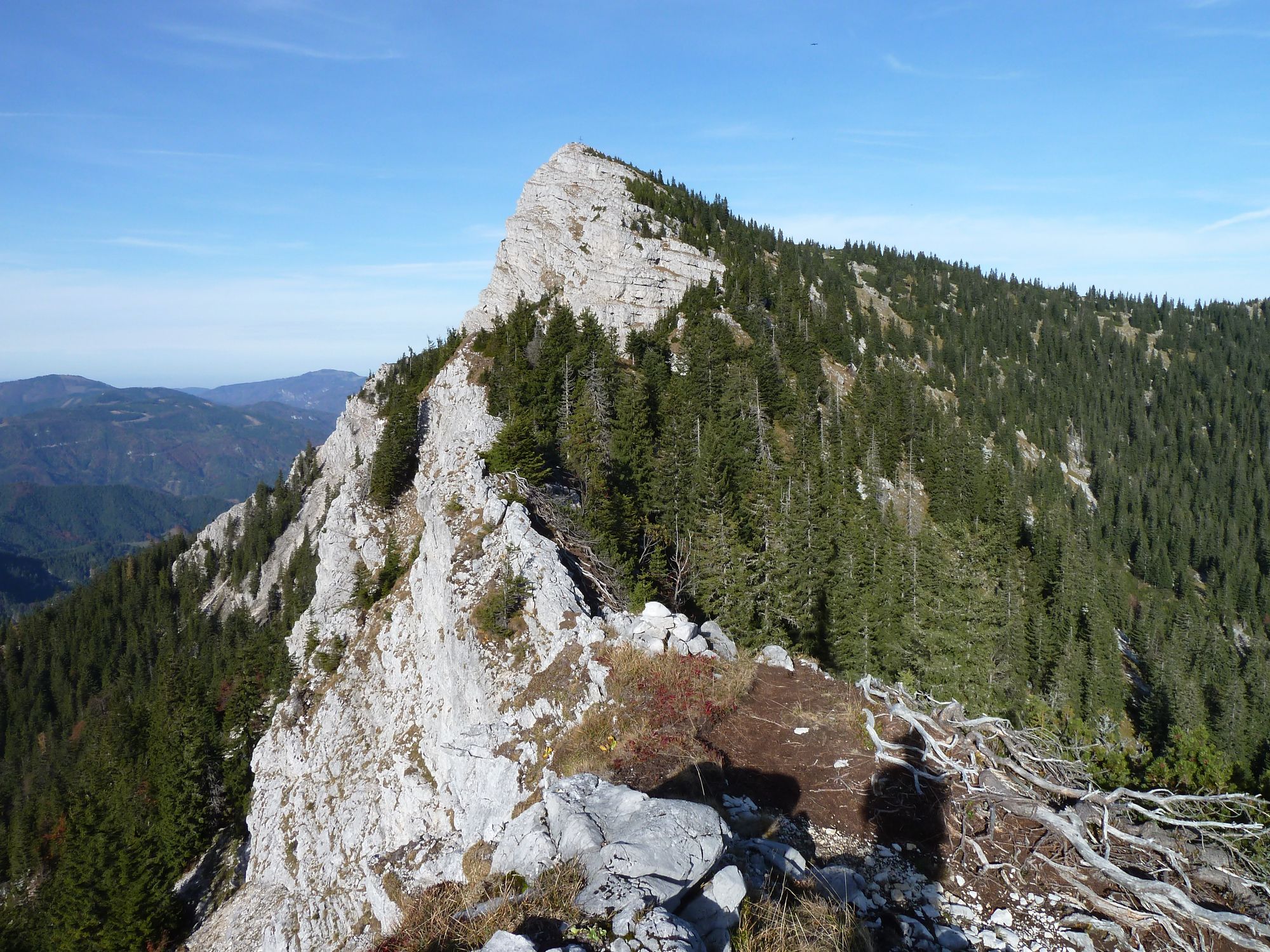
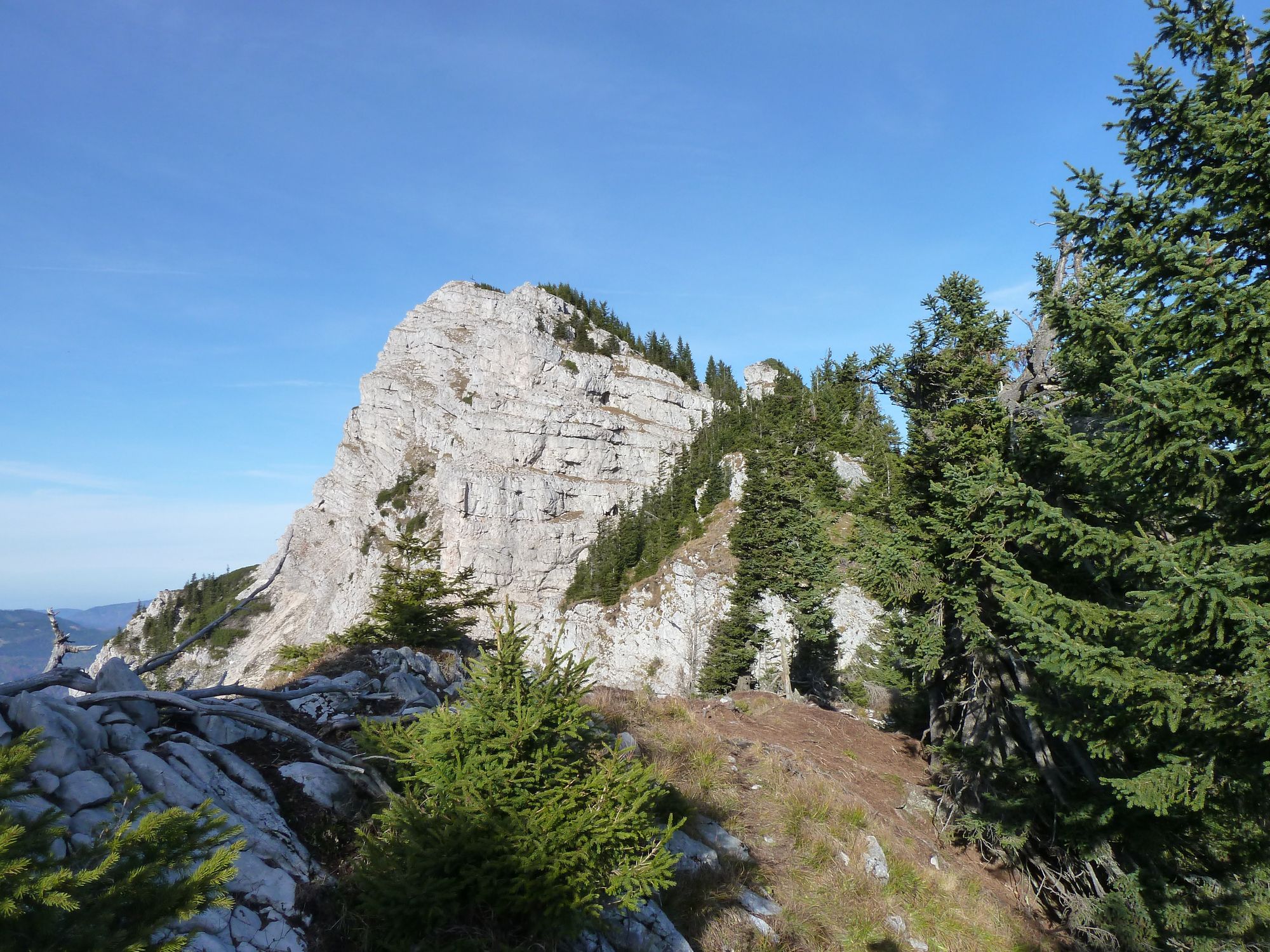
Gippel mit Bergrettungssteig
- Difficoltà
-
intermedio
- Valutazione
-
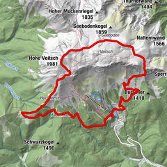
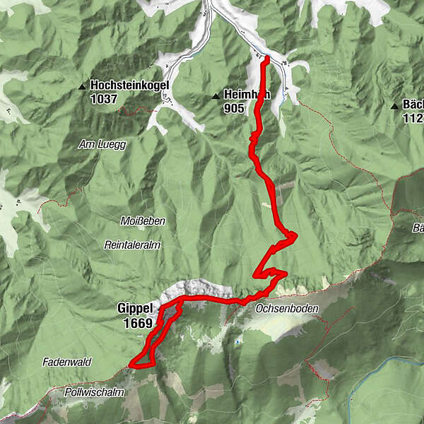
- Percorso
-
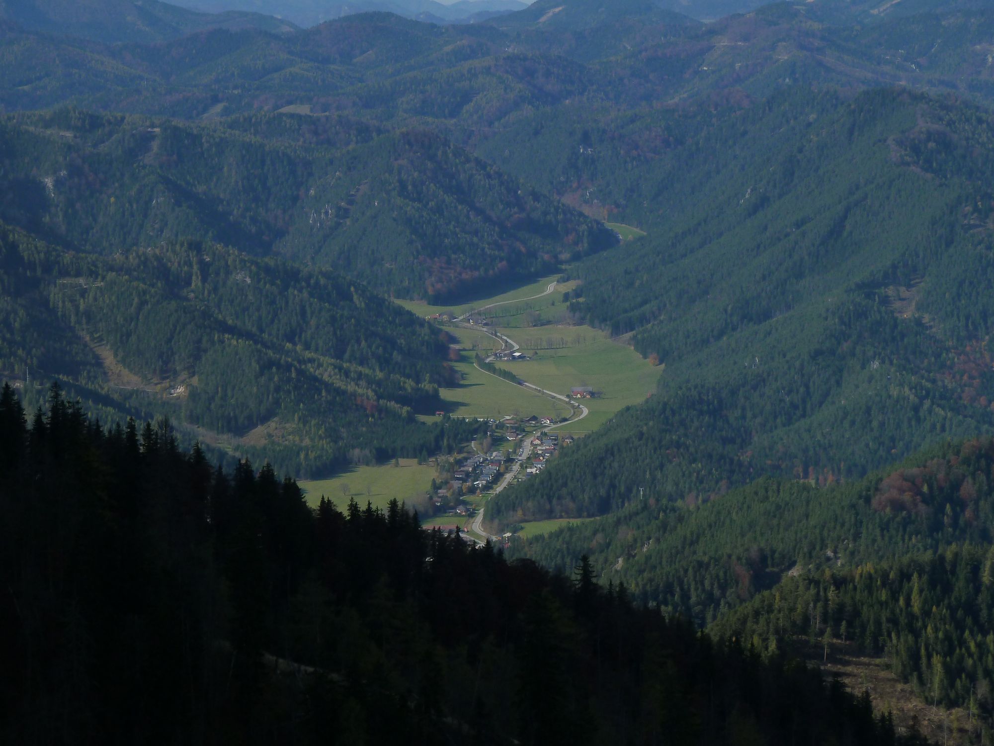
Ursprungkogel (959 m)1,5 kmGippeltörl (1.533 m)4,9 kmGippelschacht5,9 kmGippel (1.669 m)8,1 kmGippeltörl (1.533 m)8,9 kmUrsprungkogel (959 m)12,5 km
- La stagione migliore
-
genfebmaraprmaggiulugagosetottnovdic
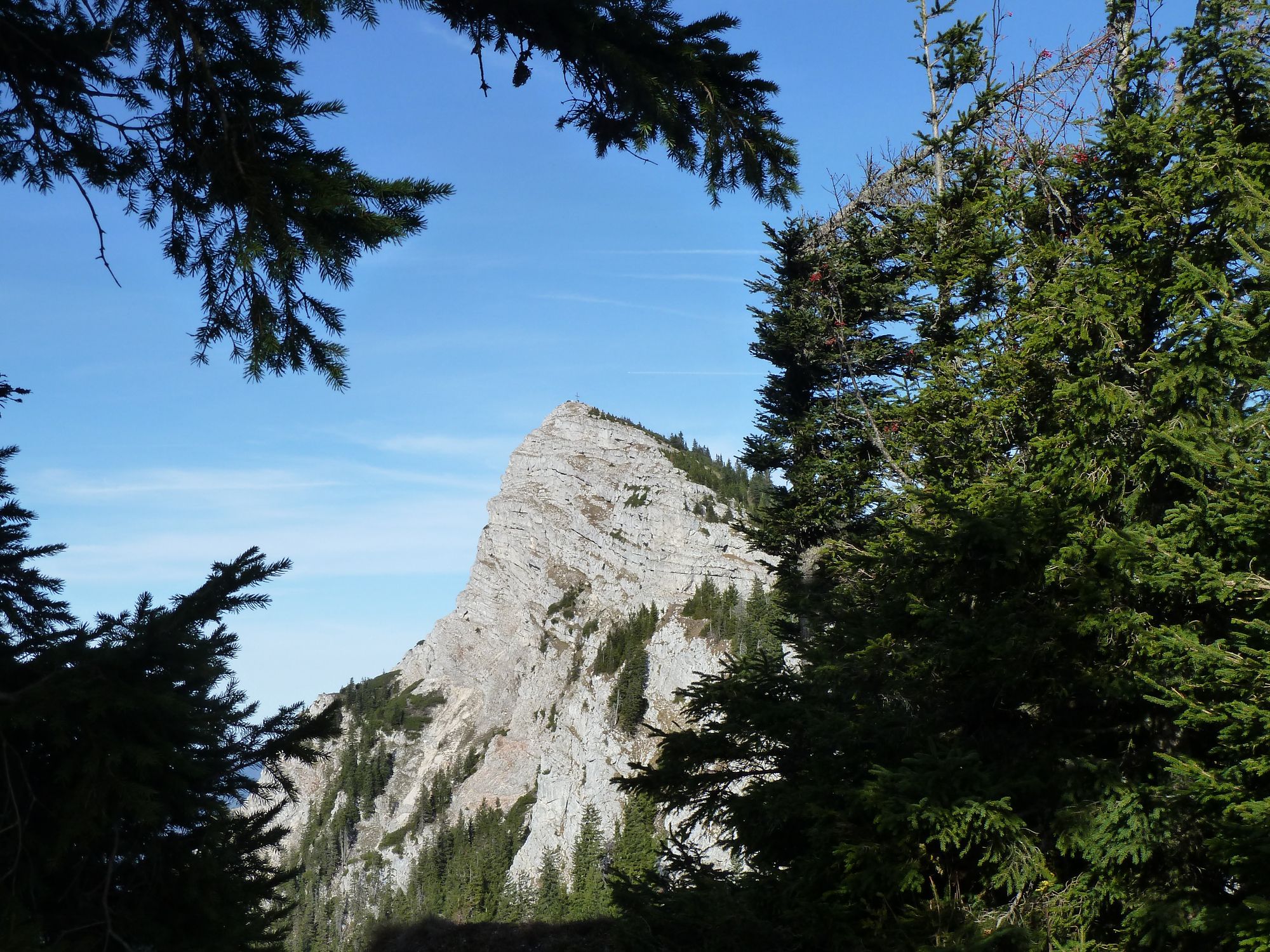
- Punto più alto
- Gippel (1.616 m)
- Riposo/Ritiro
-
Halterhütte auf der Gippelalm wenn geöffnet, wo man dann einen Abstecher von der geplanten Route einlegen muss ca. 1h
- Cartine
-
Kompass, Wiener Hausberge 210


- Fonte
- aeiou
GPS Downloads


Condizioni dei sentieri
Asfalto
Ghiaia
(10 %)
Prato
(15 %)
Foresta
(60 %)
Roccia
(10 %)
Esposta
(5 %)
Altri tour nelle regioni
-
Hochsteiermark
4081
-
Naturpark Mürzer Oberland
1937
-
St. Aegyd am Neuwalde
287