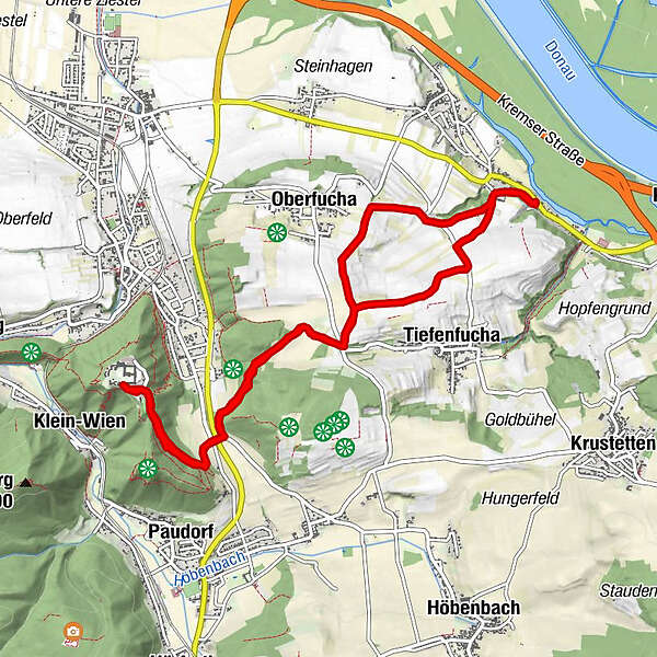
Kremser Rieden- und Wanderkarte - 20: Göttweig-Wanderweg

Escursionismo
Dati percorsi
10,81km
214
- 417m
259hm
259hm
02:23h
- Descrizione rapida
-
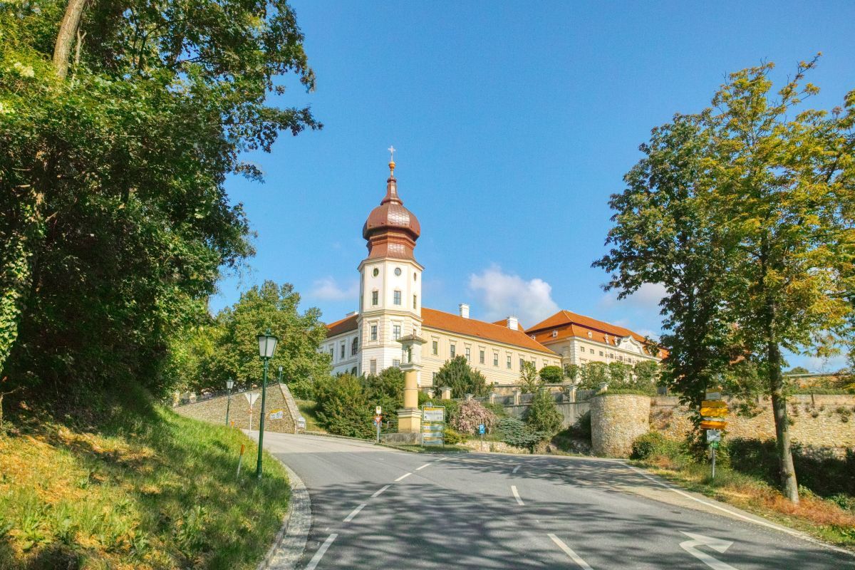
Diese Wanderung führt in etwa anderthalb Stunden von Angern zum Stift Göttweig.
- Difficoltà
-
intermedio
- Valutazione
-
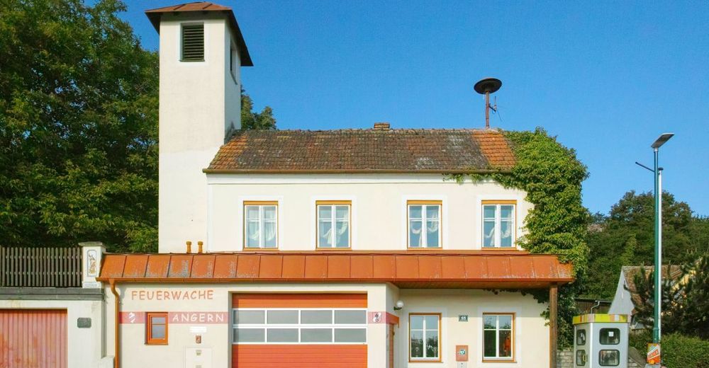
- Punto di partenza
-
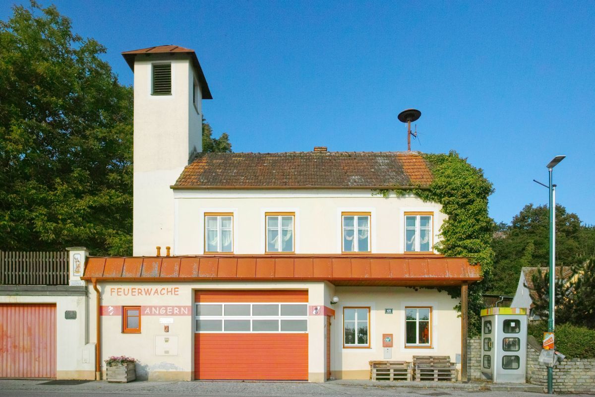
Feuerwehrhaus Angern
- Percorso
-
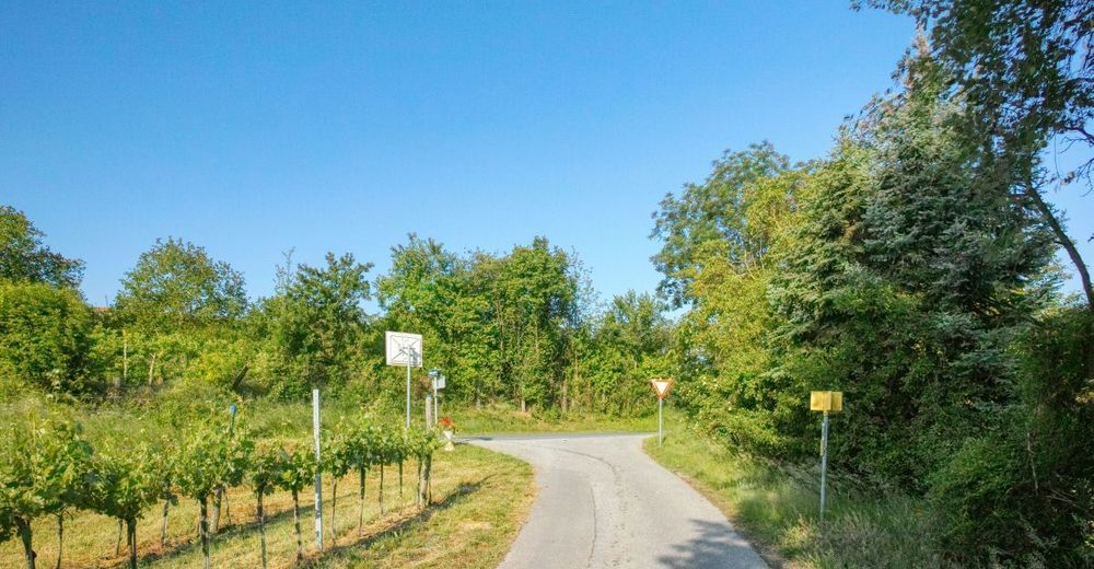
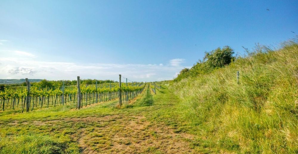
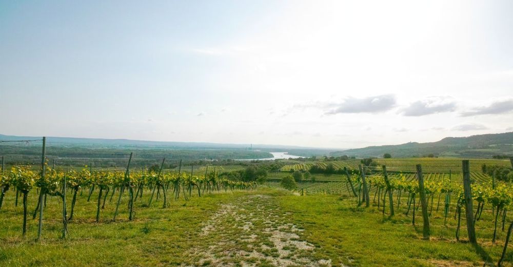
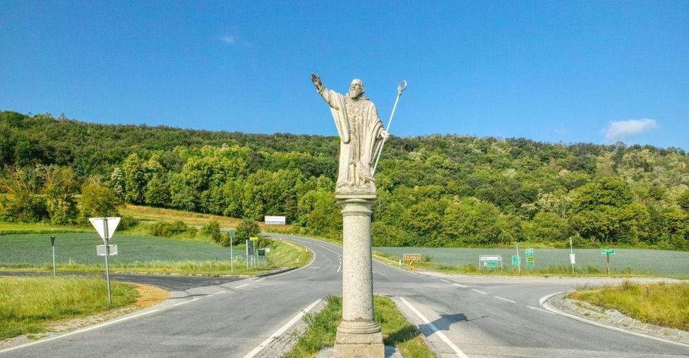
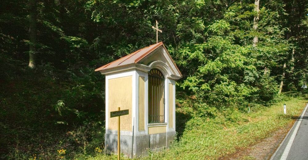
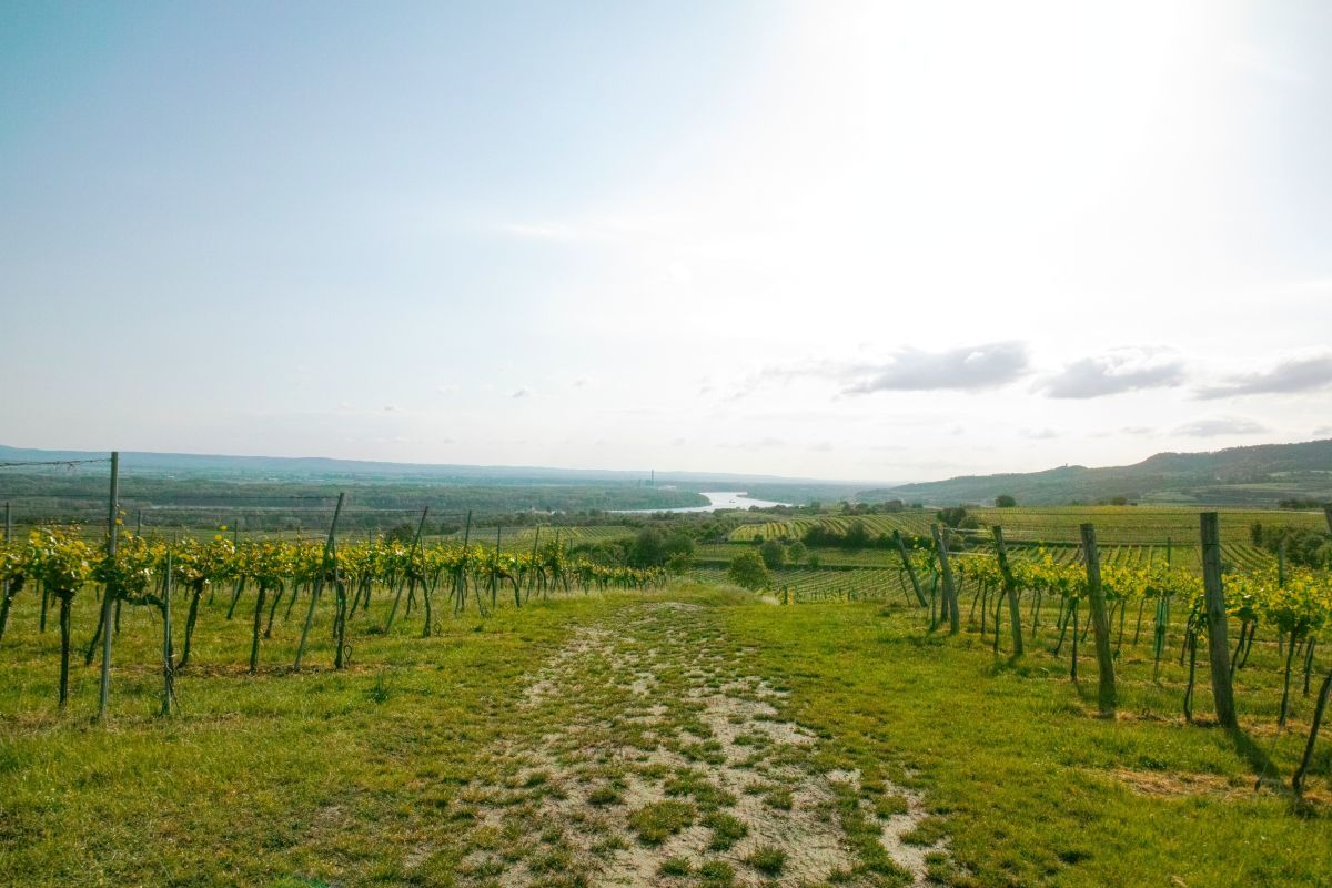
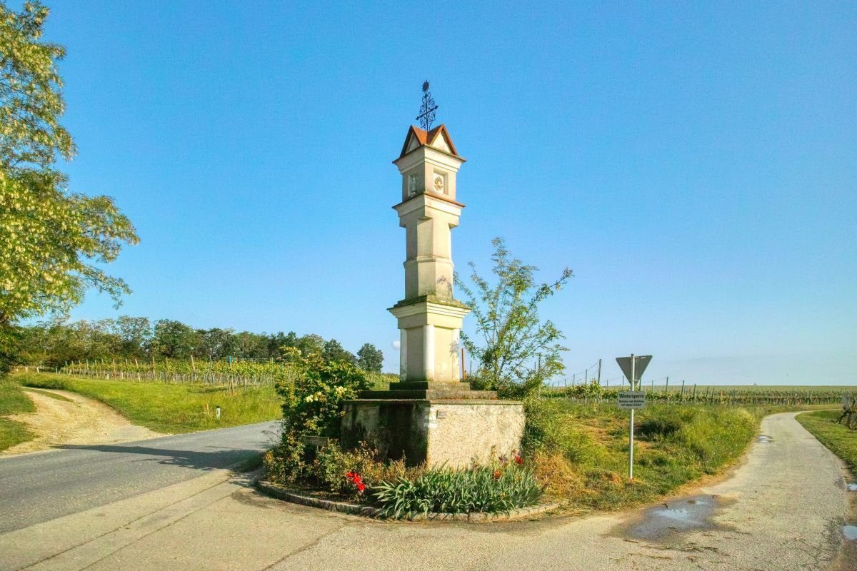
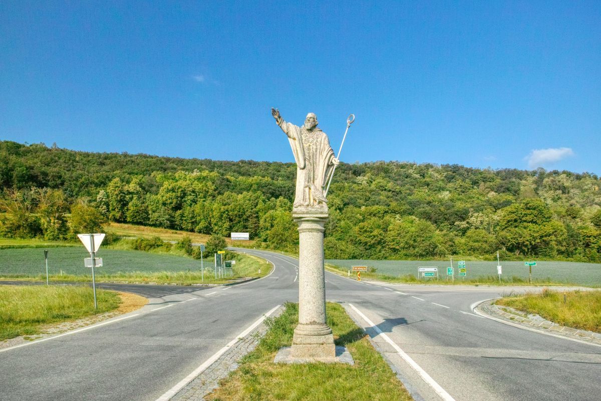
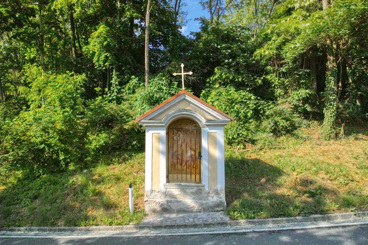
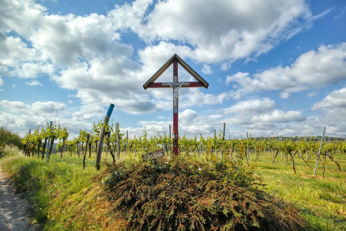
Angern0,3 kmOberfucha1,6 kmKapelle Hl. Johannes Nepomuk5,0 kmTiefenfucha9,0 kmAngern10,4 km
- La stagione migliore
-
genfebmaraprmaggiulugagosetottnovdic
- Punto più alto
- 417 m
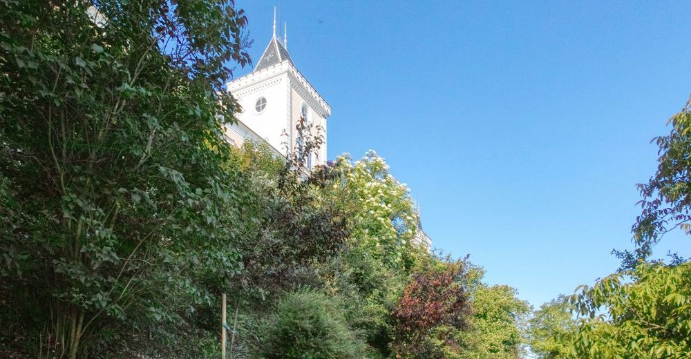
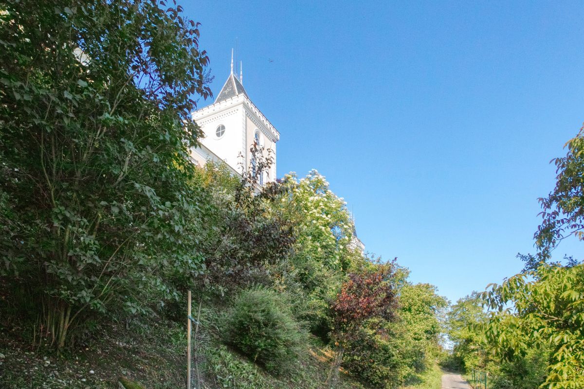
- Destinazione
-
Stift Göttweig


- Fonte
- Weinbergwandern.at
GPS Downloads


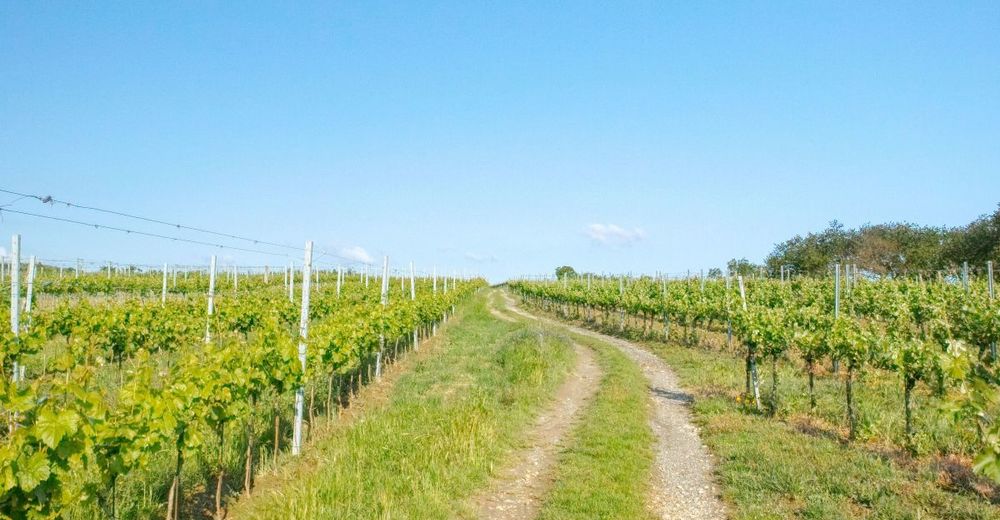
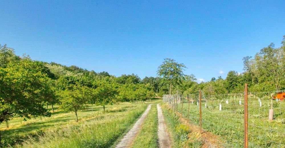
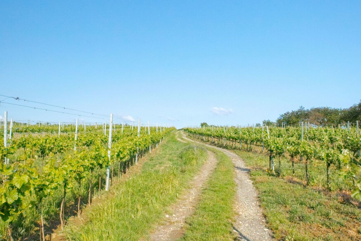
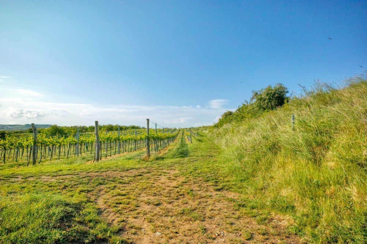
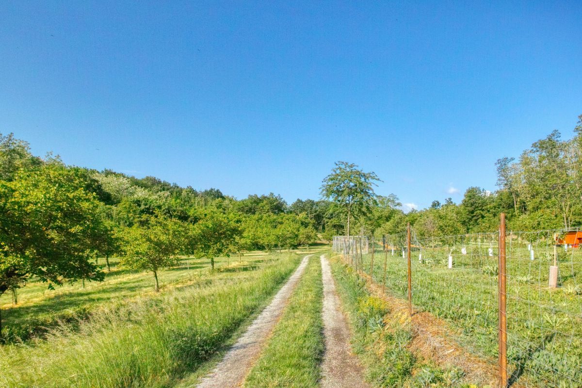
Condizioni dei sentieri
Asfalto
Ghiaia
Prato
Foresta
Roccia
Esposta
Altri tour nelle regioni
-
Donau Niederösterreich
2286
-
Traisental - Donauland
1195
-
Furth bei Göttweig
606


