

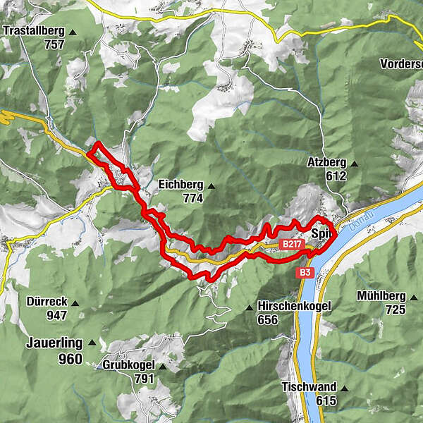
Dati percorsi
18,56km
200
- 441m
630hm
620hm
06:20h
- Difficoltà
-
intermedio
- Valutazione
-
- Percorso
-
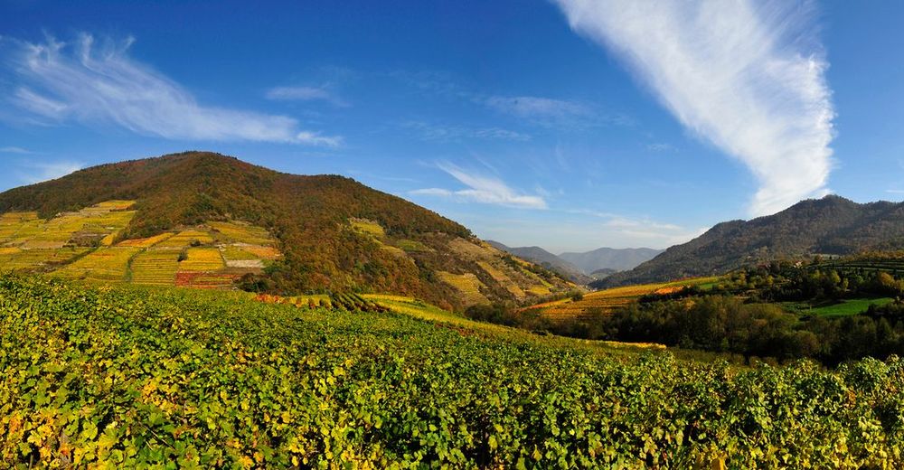
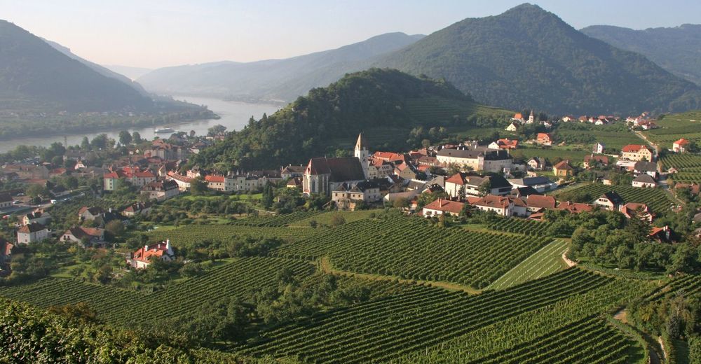
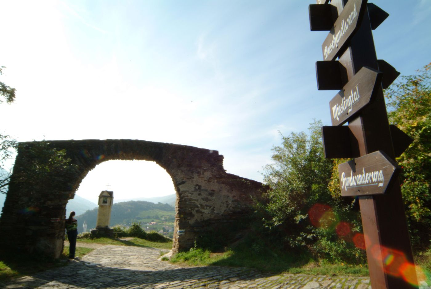
Pfarrkirche hl. MauritiusQuitten0,5 kmRadlbach0,7 kmVießling4,8 kmElsarn am Jauerling6,0 kmLedertal6,9 kmDöpperl7,8 kmGasthaus Busch7,8 kmNiederranna7,9 kmJohannes-Feld8,0 kmOberranna8,6 kmKirchenruine Maria Himmelfahrt und Ruine des ehem. Paulinerklosters9,3 kmUnterranna9,7 kmMühldorf10,3 kmGasthof Weißes Rössl10,4 kmLedertal11,1 kmBuchbergers Landhof11,7 kmElsarn am Jauerling11,8 kmGashhaus Munk12,0 kmVießling12,9 kmGut am Steg14,8 kmZornberg15,3 kmSteirerhöh' (360 m)16,2 kmKreuzung Steirerhöh'16,6 kmSpitz17,7 km
- La stagione migliore
-
genfebmaraprmaggiulugagosetottnovdic
- Punto più alto
- 441 m

GPS Downloads


Altri tour nelle regioni


