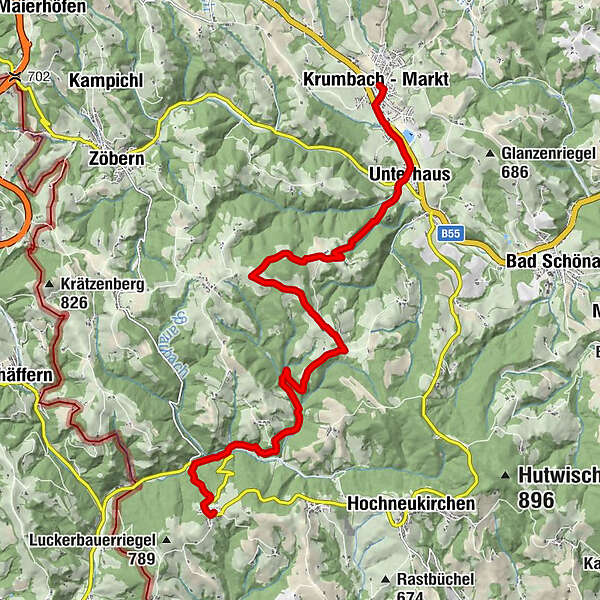
WAB - Regional Route E: Gschaidt - Feichten - Krumbach

Escursionismo

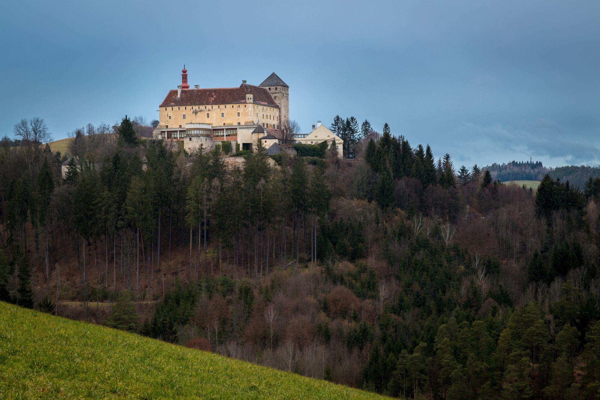
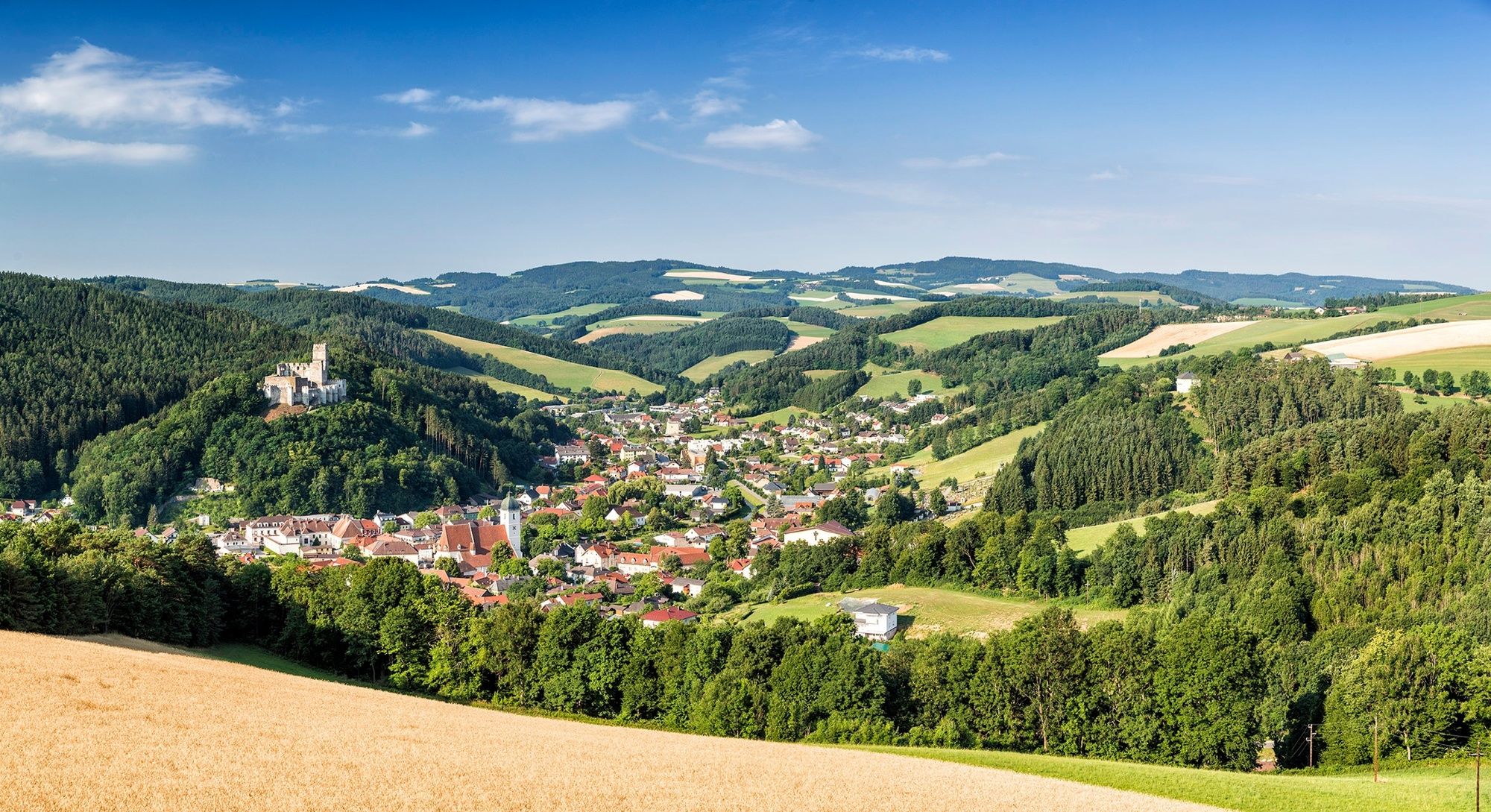
© © Schloss Krumbach - Wiener Alpen in Niederösterreich Tourismus GmbH

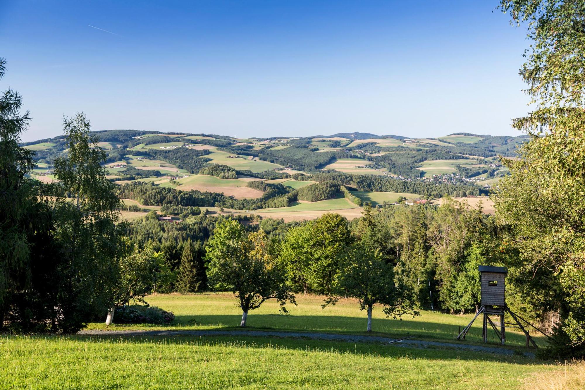
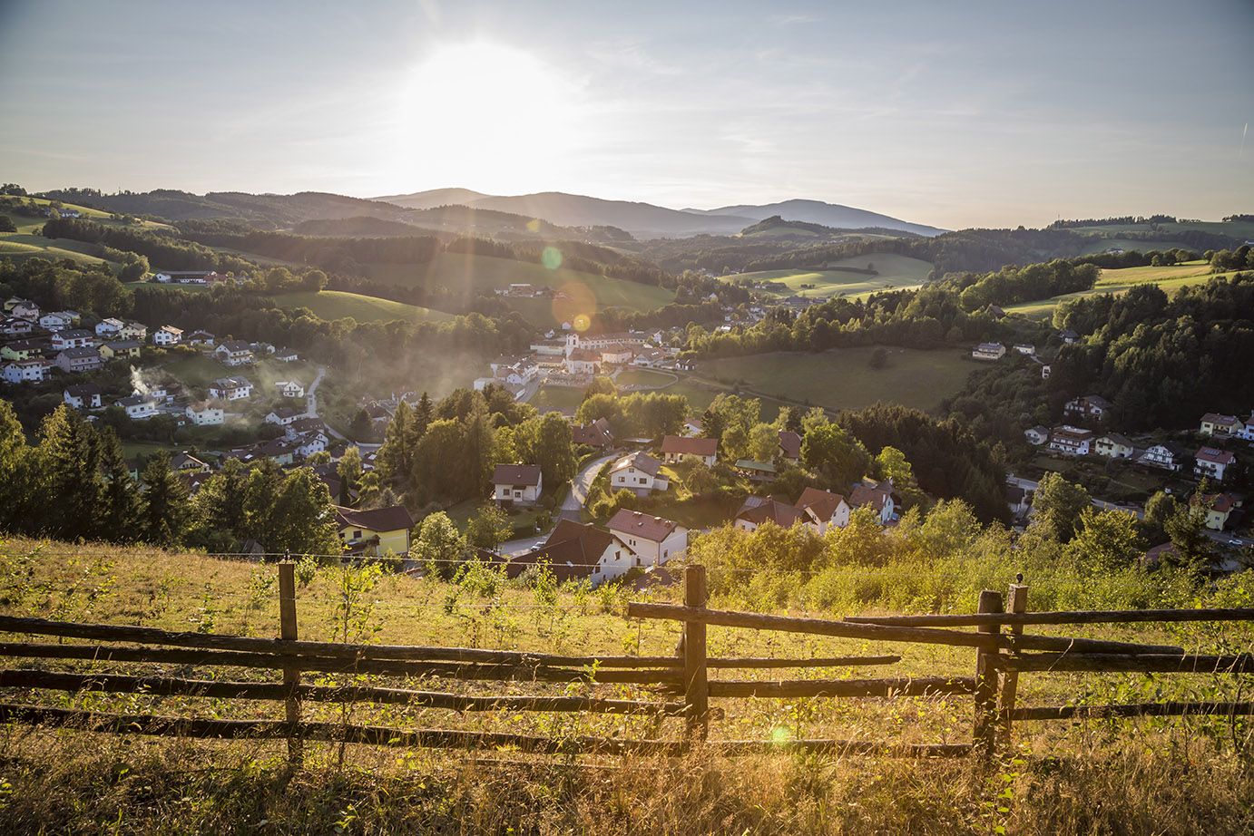
© Wiener Alpen in Niederösterreich - Sophie Weinberger

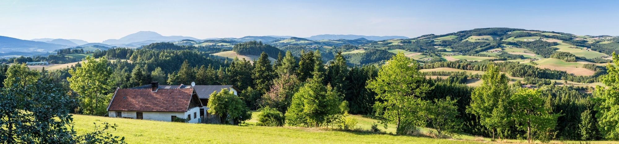
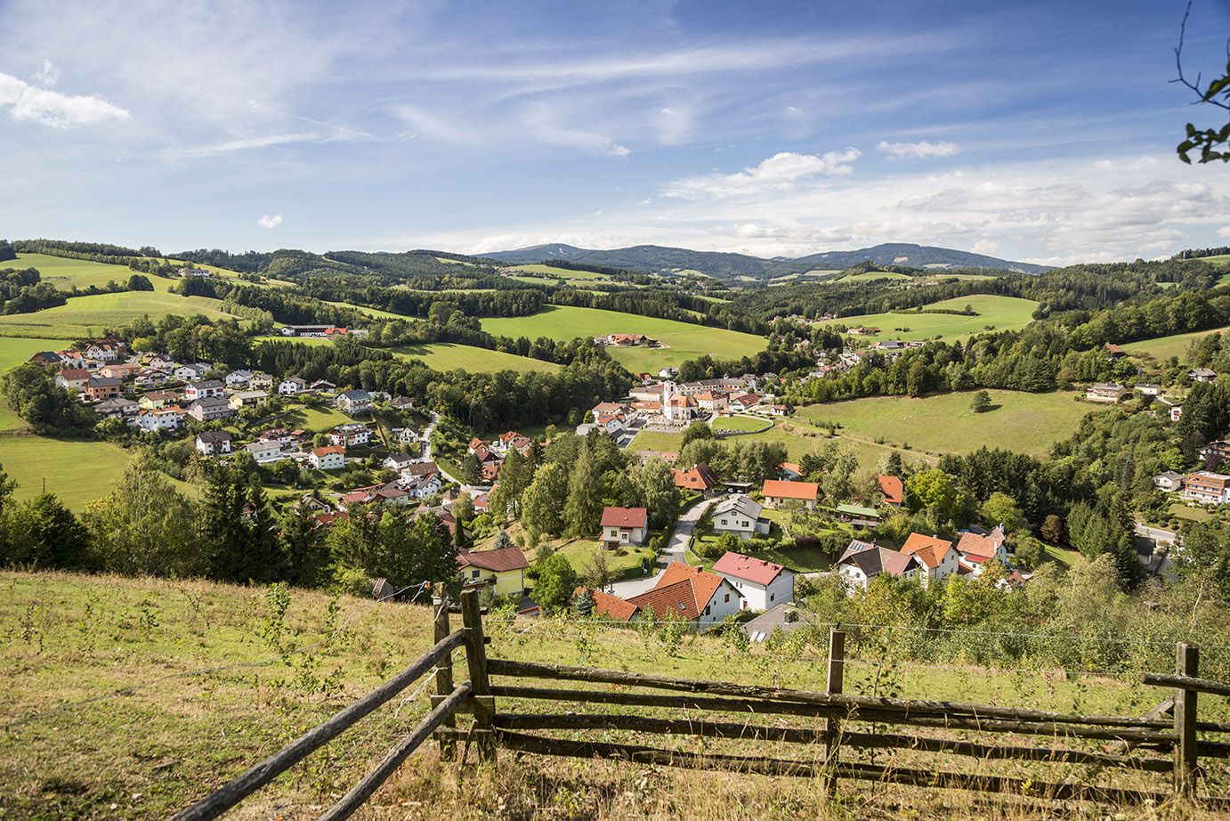
© Wiener Alpen in Niederösterreich - Sophie Weinberger

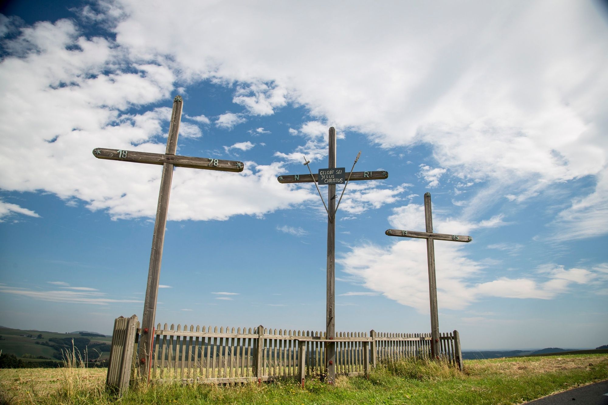
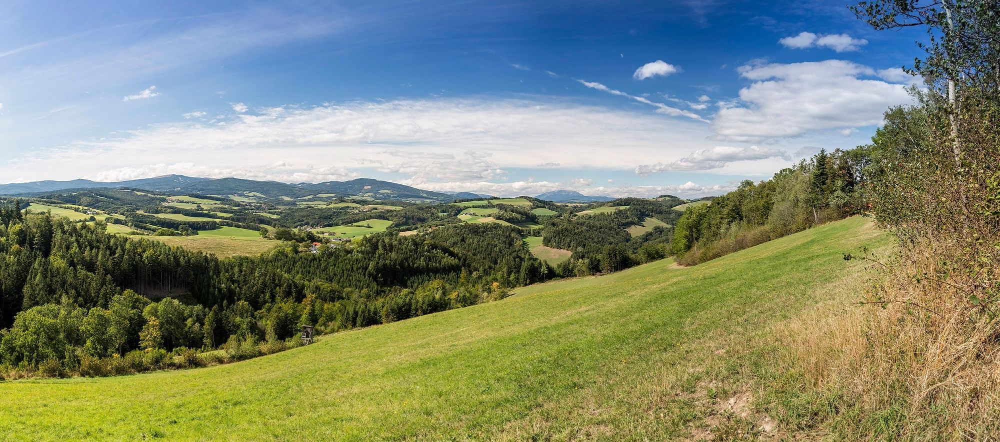
© Wiener Alpen in Niederösterreich - Katrin Zeleny

© Wiener Alpen in Niederösterreich - Katrin Zeleny

© Wiener Alpen in Niederösterreich - Katrin Zeleny

© Wiener Alpen in Niederösterreich - Katrin Zeleny

© Wiener Alpen in Niederösterreich - Katrin Zeleny

© Wiener Alpen in Niederösterreich - Katrin Zeleny

© Wiener Alpen in Niederösterreich - Katrin Zeleny
- Descrizione rapida
-
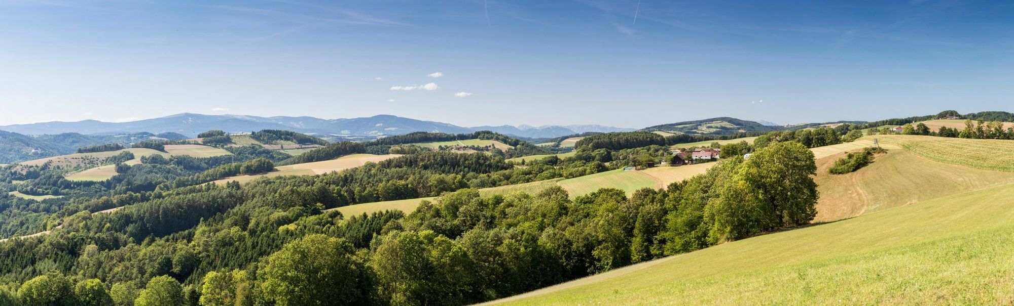
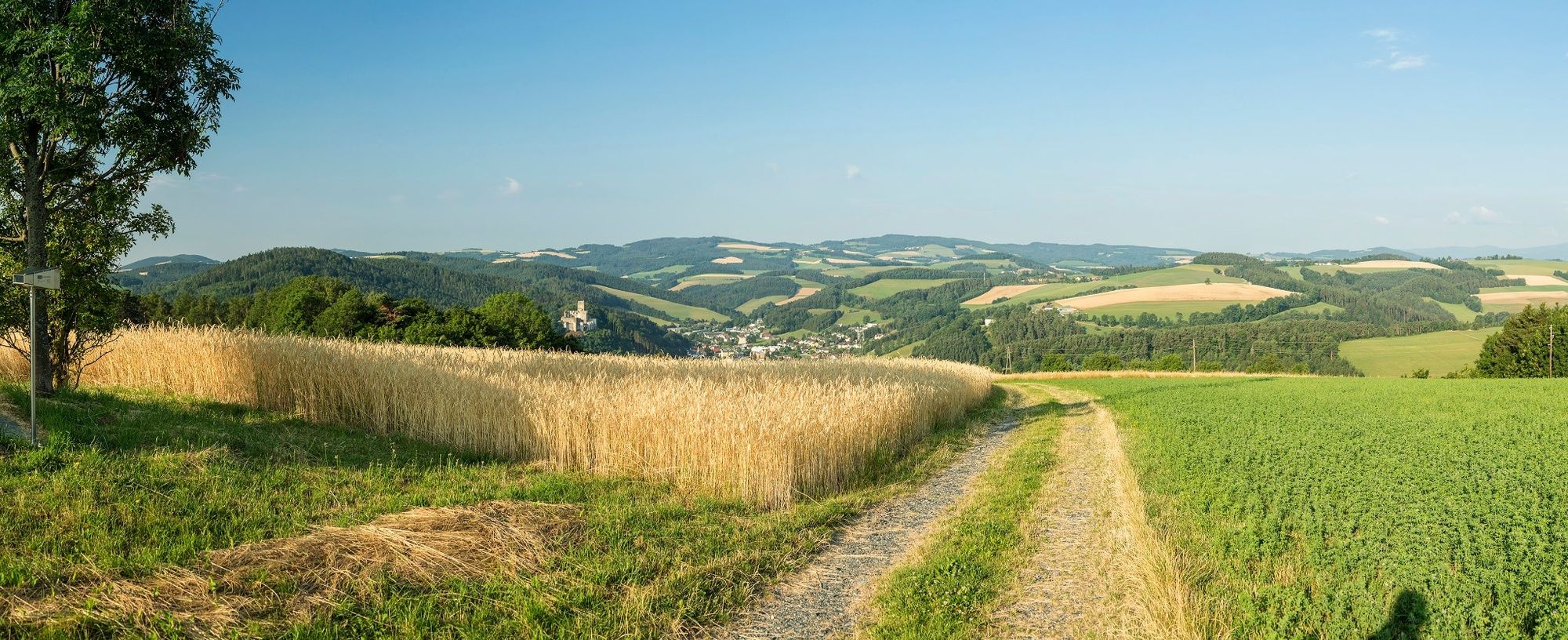
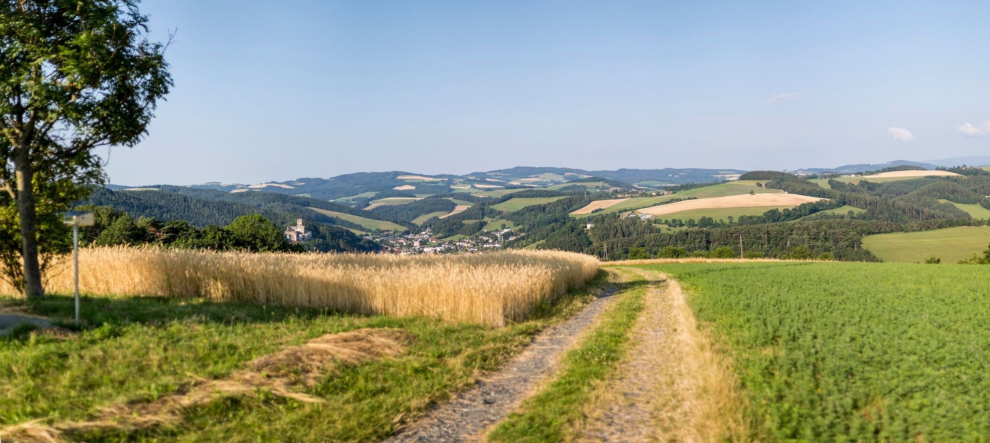
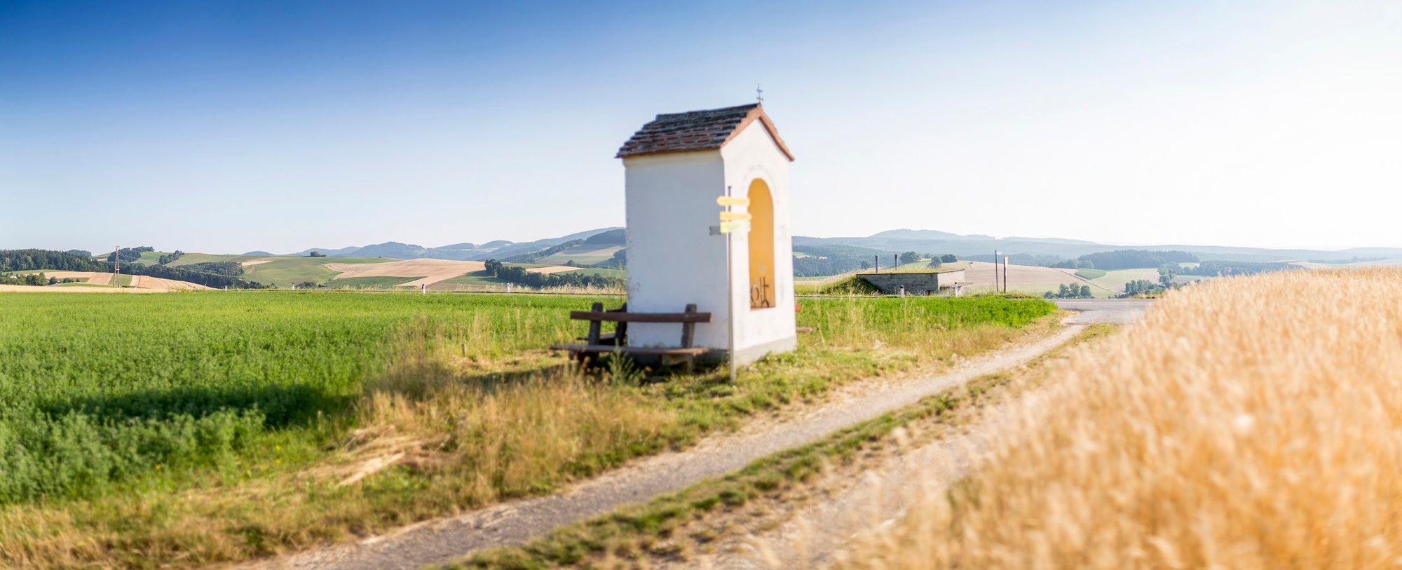
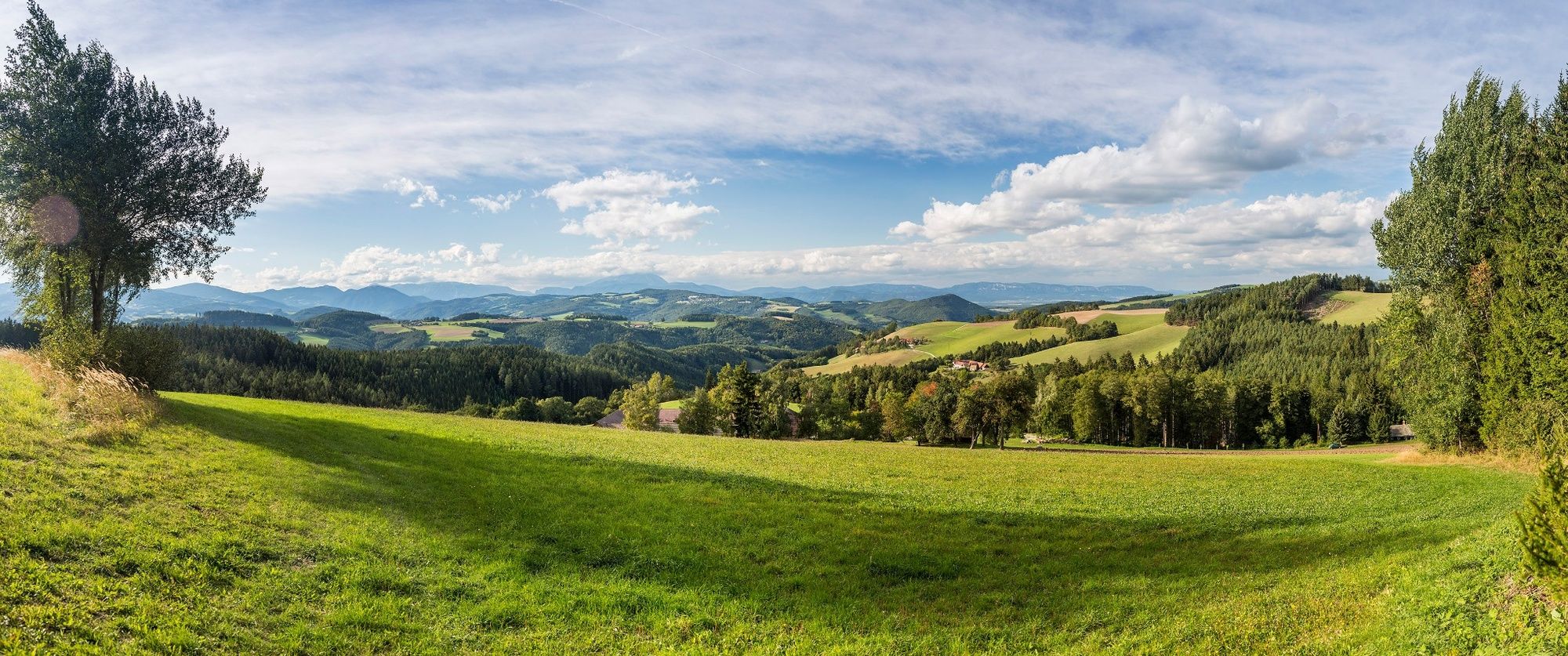
At the start, Regional Route E is the same route as that of the Viennese Alps route. After the Steinkreis Waldbauer observation point, the route heads on to Krumbach. The Regional Routes are part of the network of paths making up the Viennese Alps (WAB) route. Hikes along these routes lead you to unique views and also insights. The Regional Routes are linked to the network of paths making up the Viennese Alps route. This results in circular hikes in conjunction with the long-distance path.
- Difficoltà
-
intermedio
- Valutazione
-
- Percorso
-
Landgasthof Höller0,0 kmGschaidt0,1 kmPfarrkirche St. Magdalena0,1 kmKapelle2,0 kmHosien6,5 kmSchlosswirtshaus11,5 kmUnterhaus12,4 kmKrumbach - Markt14,3 km
- La stagione migliore
-
genfebmaraprmaggiulugagosetottnovdic
- Punto più alto
- 830 m
- Destinazione
-
Krumbach municipal office, in the town centre
- Profilo altimetrico
-

- Autore
-
Il tour WAB - Regional Route E: Gschaidt - Feichten - Krumbach è utilizzato da outdooractive.com fornito.
GPS Downloads


Info generali
Promettente
Altri tour nelle regioni
-
Wiener Alpen
3048
-
Kräuterregion Wechselland
1085
-
Hochneukirchen - Gschaidt
197