WAB - Regional Route M: Payerbach - Maria Schutz - Sonnwendstein

Escursionismo

© ©Wiener Alpen, Foto: Franz Zwickl - Wiener Alpen in Niederösterreich
© ©Marktgemeinde Payerbach, Foto: Franz Zwickl - Wiener Alpen in Niederösterreich Tourismus GmbH

© ©NÖW, Foto: Michael Liebert - Wiener Alpen in Niederösterreich Tourismus GmbH


© Wiener Alpen in Niederösterreich - Sophie Weinberger

© Wiener Alpen in Niederösterreich - Sophie Weinberger

© Wiener Alpen in Niederösterreich - Sophie Weinberger

© Wiener Alpen in Niederösterreich - Sophie Weinberger

© Wiener Alpen in Niederösterreich - Katrin Zeleny

© Wiener Alpen in Niederösterreich - Katrin Zeleny
- Descrizione rapida
-
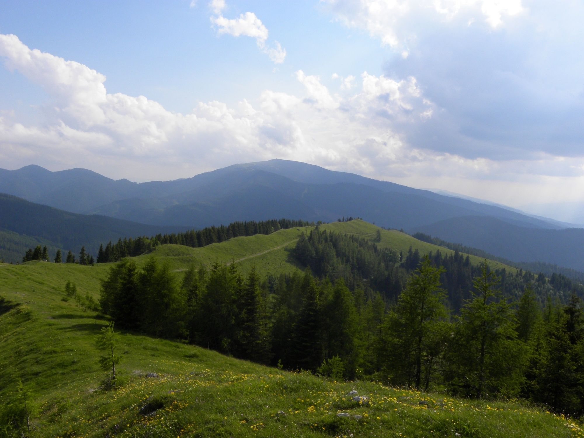
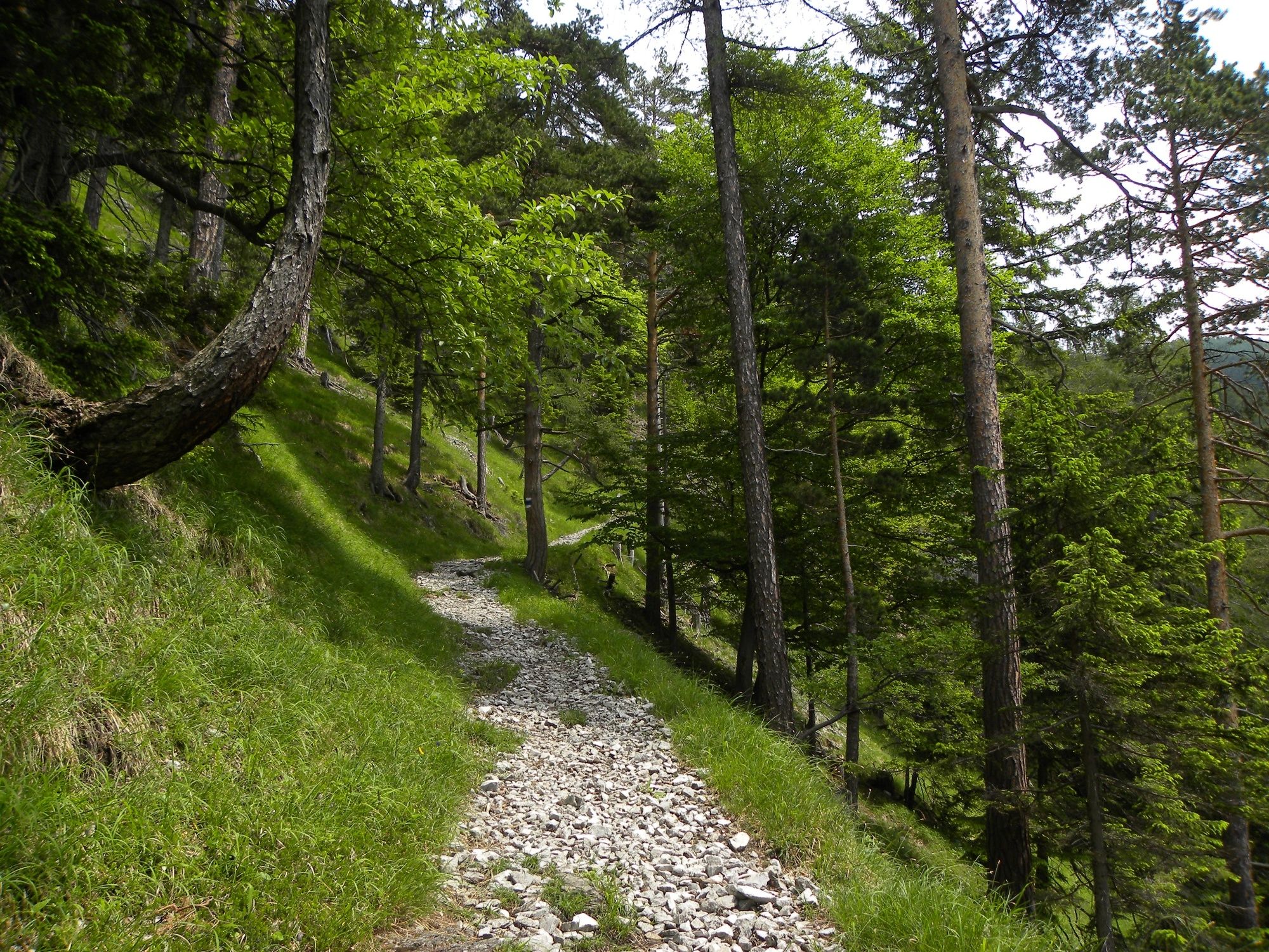
Regional Route M goes through areas that used to be summer resorts. The Regional Routes are part of the network of paths making up the Viennese Alps (WAB) route. Hikes along these routes lead you to unique views and also insights. The Regional Routes are linked to the network of paths making up the Viennese Alps route. This results in circular hikes in conjunction with the long-distance path.
- Difficoltà
-
intermedio
- Valutazione
-
- Percorso
-
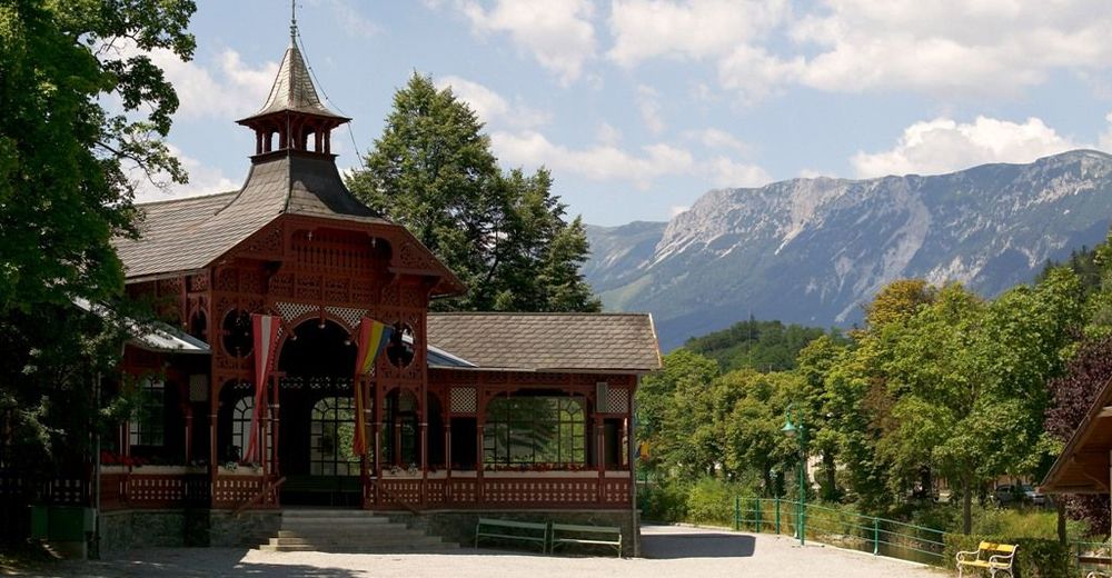
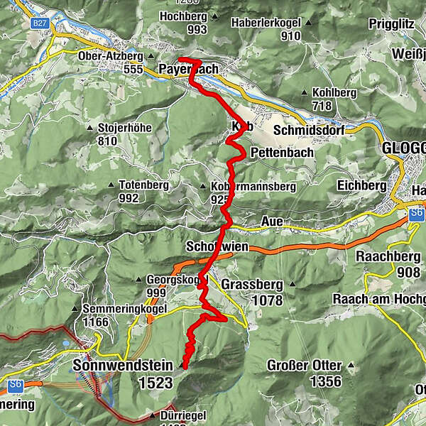
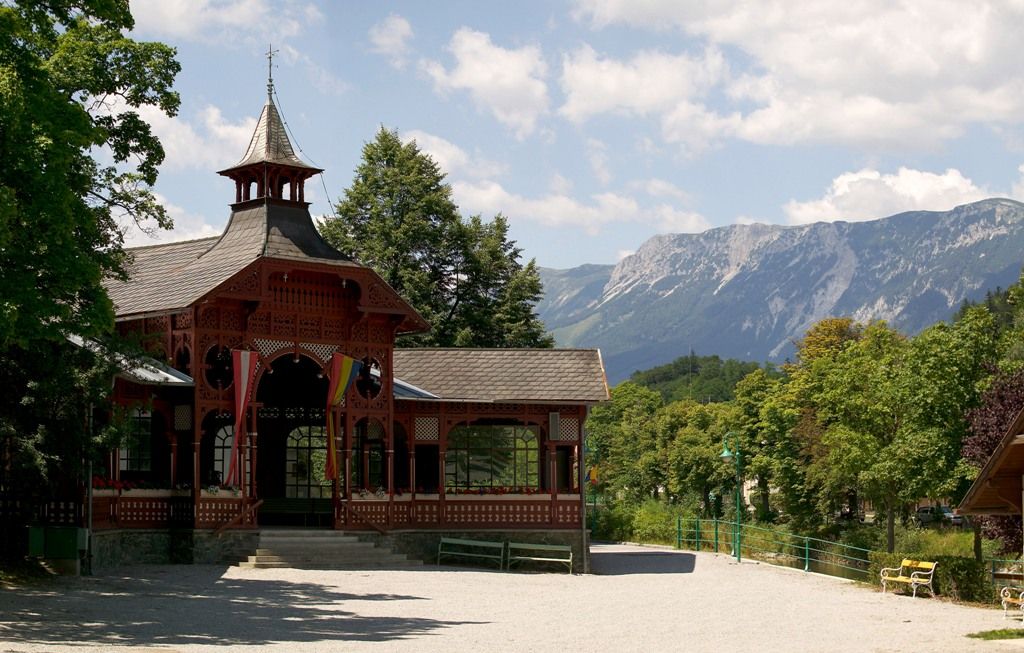
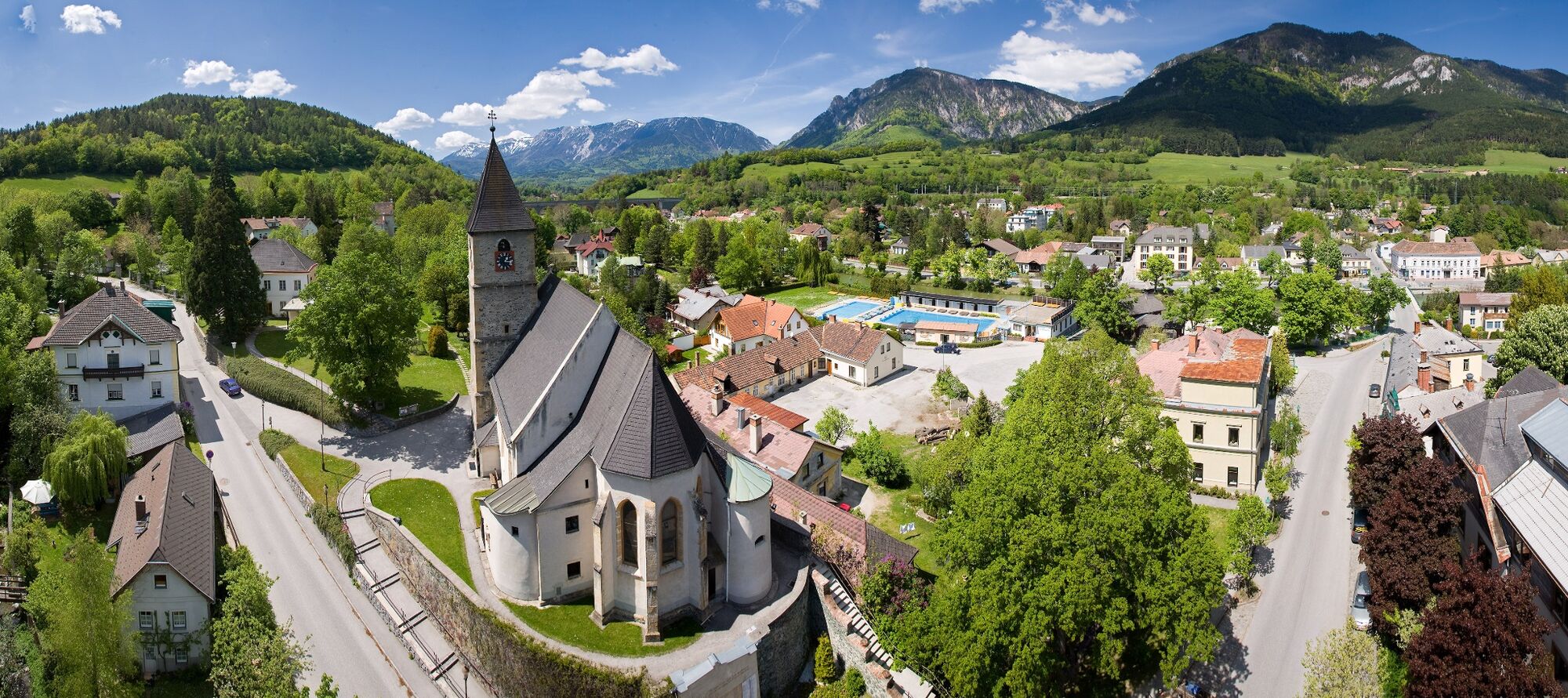
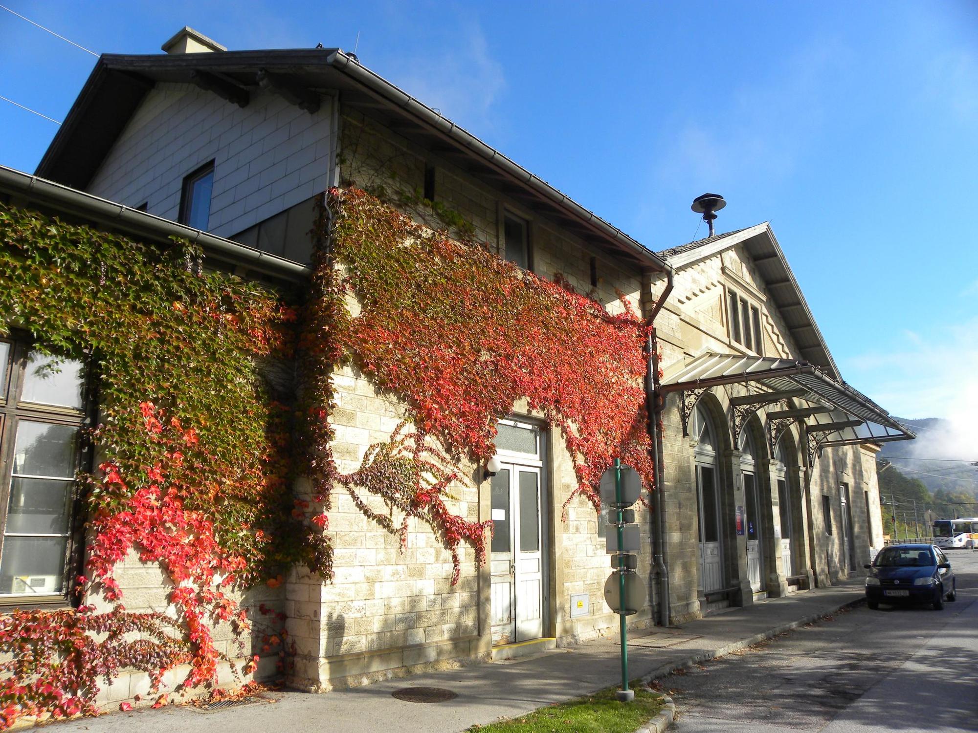
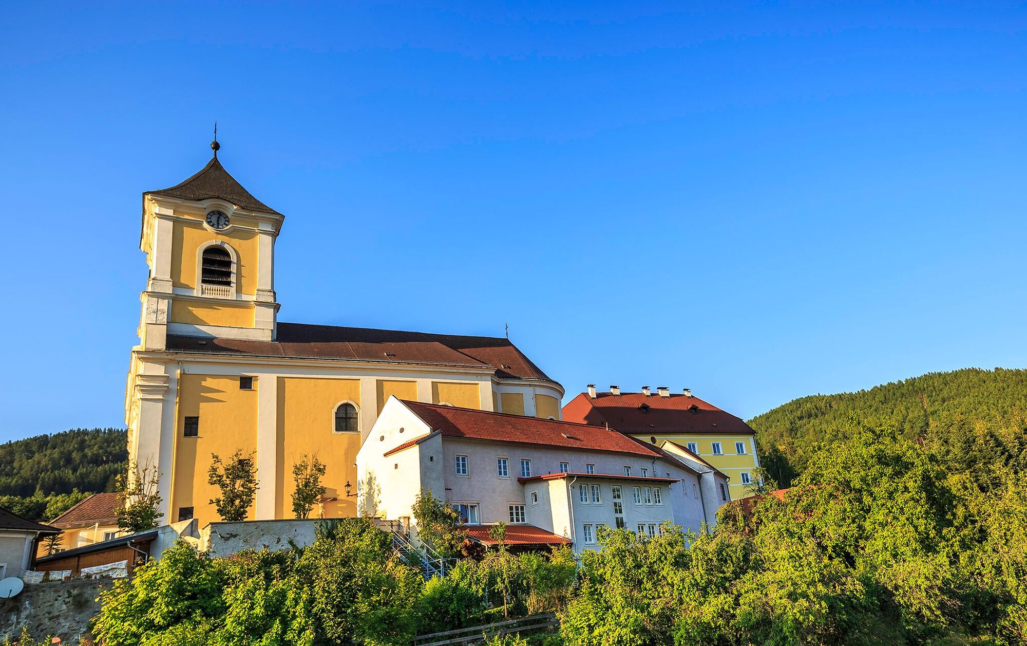
Payerbach LokalbahnPayerbach-Reichenau0,2 kmPayerbacherhof0,8 kmPayerbach0,8 kmPfarrkirche Payerbach1,0 kmBarbarakapelle2,7 kmKüb2,8 kmKlammerkapelle5,3 kmStollen6,5 kmStollenanlage6,8 kmHl. Vitus6,8 kmHaselbacher6,8 kmVerteidigungshöhle7,0 kmSchottwien7,0 kmMaria Schutz8,9 kmGasthaus Auerhahn - Familie Rumpler9,0 kmKirchenwirt9,1 kmWallfahrtskirche und Passionistenkloster Maria SchutzMaria Schutz9,1 kmPollereshütte12,7 kmSonnwendstein (1.523 m)12,8 km
- La stagione migliore
-
genfebmaraprmaggiulugagosetottnovdic
- Punto più alto
- 1.482 m
- Destinazione
-
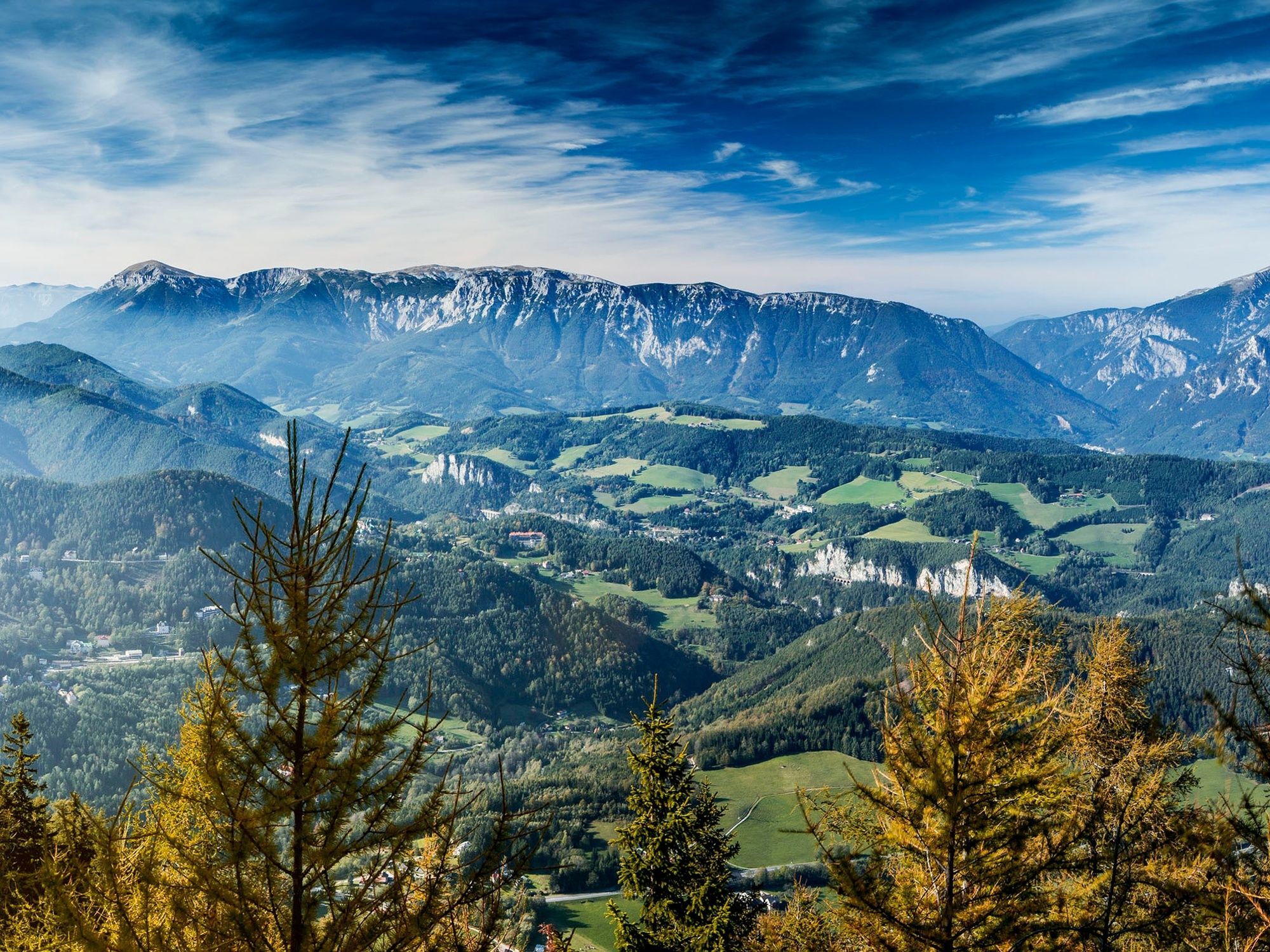
Sonnwendstein summit vantage point
- Profilo altimetrico
-


- Autore
-
Il tour WAB - Regional Route M: Payerbach - Maria Schutz - Sonnwendstein è utilizzato da outdooractive.com fornito.
GPS Downloads


Info generali
Punto di ristoro
Promettente
Altri tour nelle regioni
-
Wiener Alpen
3050
-
Semmering - Rax
2316
-
Schottwien - Maria Schutz
808


