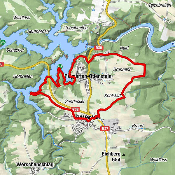
Dati percorsi
10,79km
491
- 586m
97hm
03:00h
- Descrizione rapida
-
50% Asphalt, 50% Schotterwege
- Valutazione
-
- Percorso
-
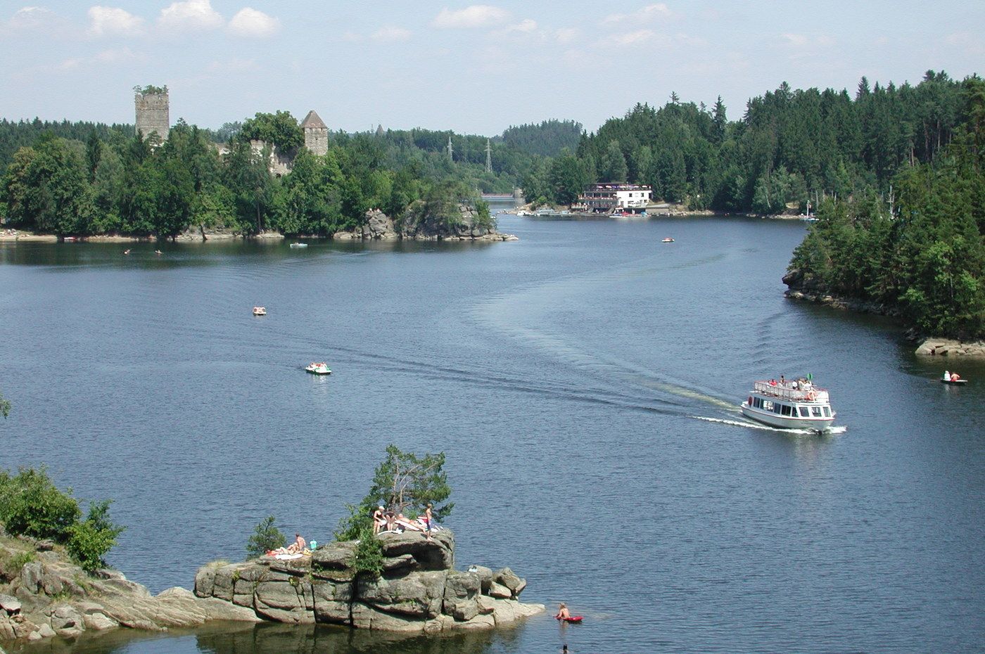
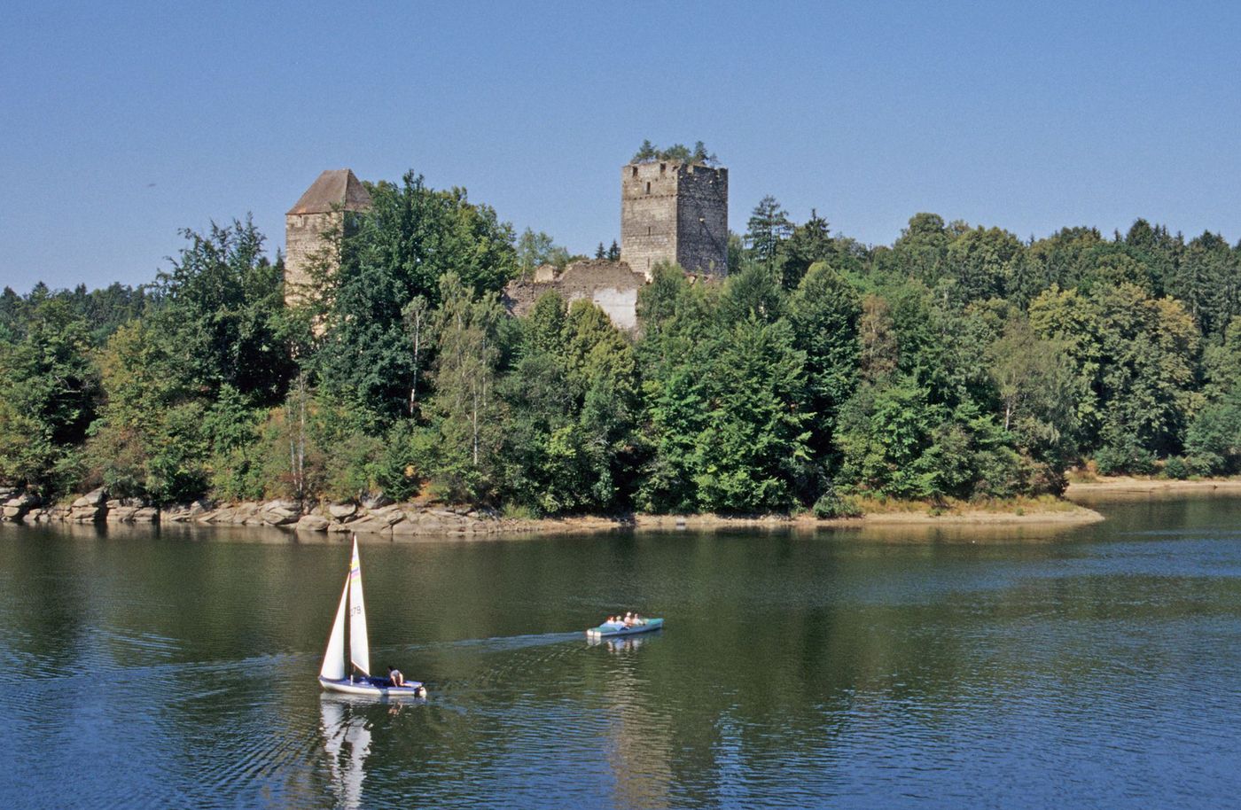
Peygarten-Ottenstein0,8 kmOsang2,2 kmSandäcker5,2 kmRastenfeld5,7 kmHopfengarten6,5 kmHotel Restaurant Ottenstein9,9 km
- Punto più alto
- 586 m

GPS Downloads


Condizioni dei sentieri
Asfalto
Ghiaia
Prato
Foresta
Roccia
Esposta
Altri tour nelle regioni
-
Waldviertel
1775
-
Waldviertel Mitte
1245
-
Rastenfeld
161