© ZWalk.at
© ZWalk.at
© ZWalk.at
Dati percorsi
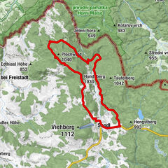
6,34km
653
- 777m
160hm
157hm
02:00h
- Descrizione rapida
-
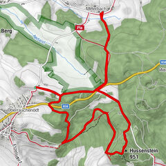
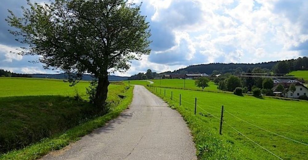
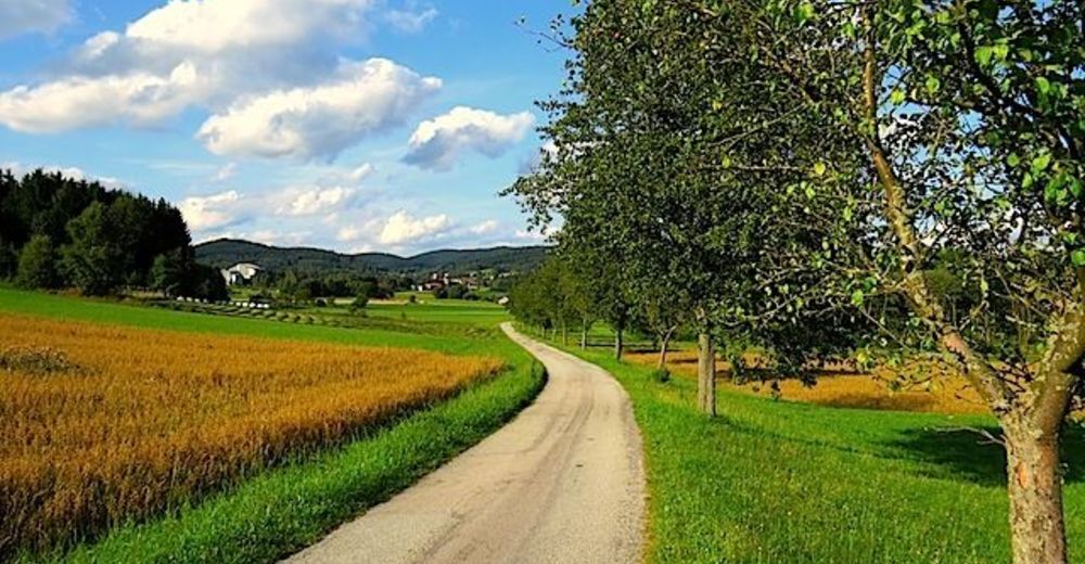
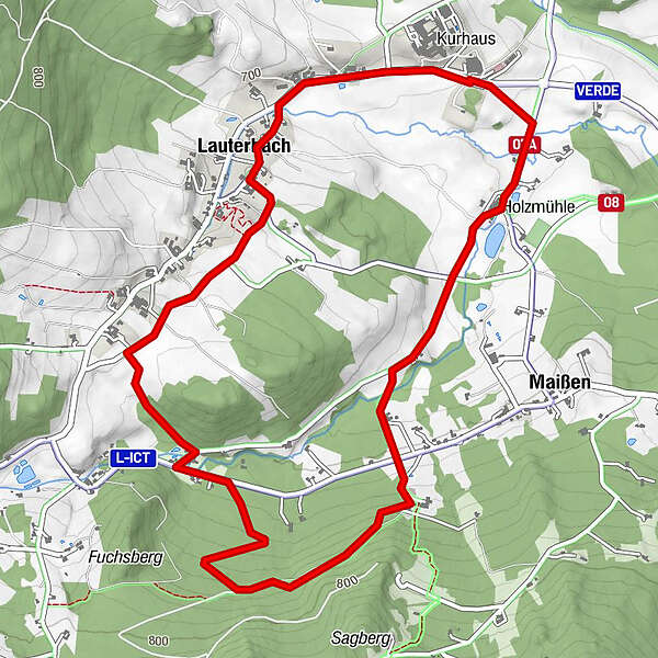
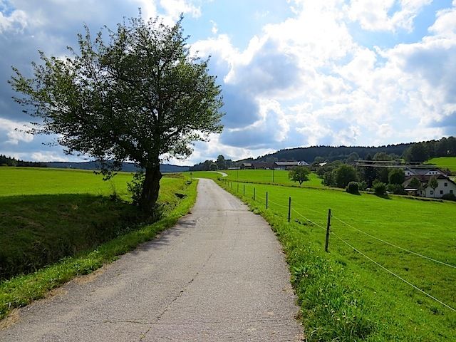
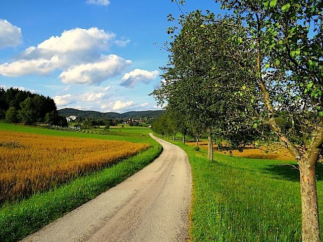
Die Tour führt durch eine typische, leicht hügelige Waldviertler Landschaft. Es geht durch Felder, Wiesen und Wälder, die sich ständig abwechseln.
- Difficoltà
-
facile
- Valutazione
-
- Punto di partenza
-
Harbach
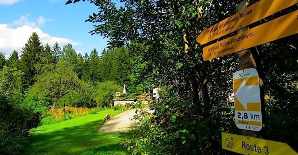
- Percorso
-
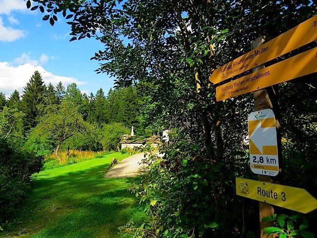
Lauterbach0,8 kmOrtskapelle Lauterbach1,0 kmHolzmühle5,6 km
- Punto più alto
- 777 m
- Fonte
- ZWalk
GPS Downloads


Altri tour nelle regioni
-
Mühlviertel
1782
-
Mühlviertler Alm Freistadt
1067
-
Moorbad Harbach
153