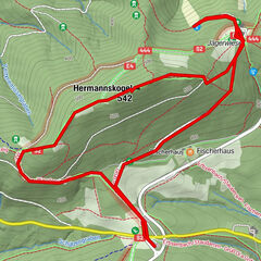
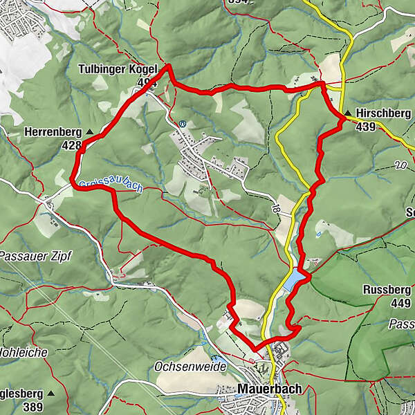
Dati percorsi
12,1km
292
- 484m
288hm
270hm
04:00h
- Descrizione rapida
-
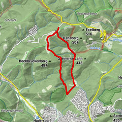
Wandern Sie eine Runde von Mauerbach zum Tulbinger Kogel.
- Difficoltà
-
facile
- Valutazione
-
- Punto di partenza
-
Parkplatz
- Percorso
-
Bäckerstraße3,1 kmHirschberg (439 m)3,7 kmHainbuch4,3 kmGasthaus Radlherr4,3 kmWaldschenke Staar4,5 kmTulbinger Kogel (494 m)6,4 kmTulbingerkogel6,7 kmHerrenberg (428 m)7,7 km
- La stagione migliore
-
genfebmaraprmaggiulugagosetottnovdic
- Punto più alto
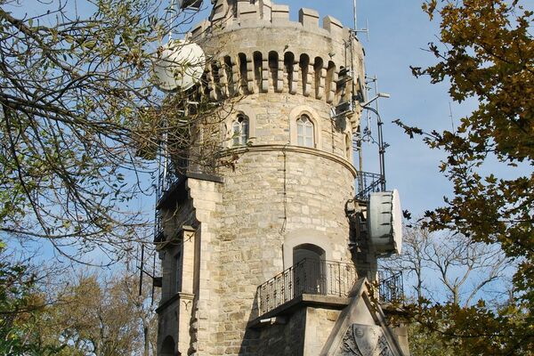
- Tulbinger Kogel (484 m)
- Riposo/Ritiro
-
Waldschenke
Gashaus Radlherr
Kartausencafe
Klosterwirt
Berghotel Tulbinger Kogel
Gashof Ungler - Cartine
-
Freytag & Berndt WK11 1:50000 Wienerwald
GPS Downloads


Condizioni dei sentieri
Asfalto
Ghiaia
Prato
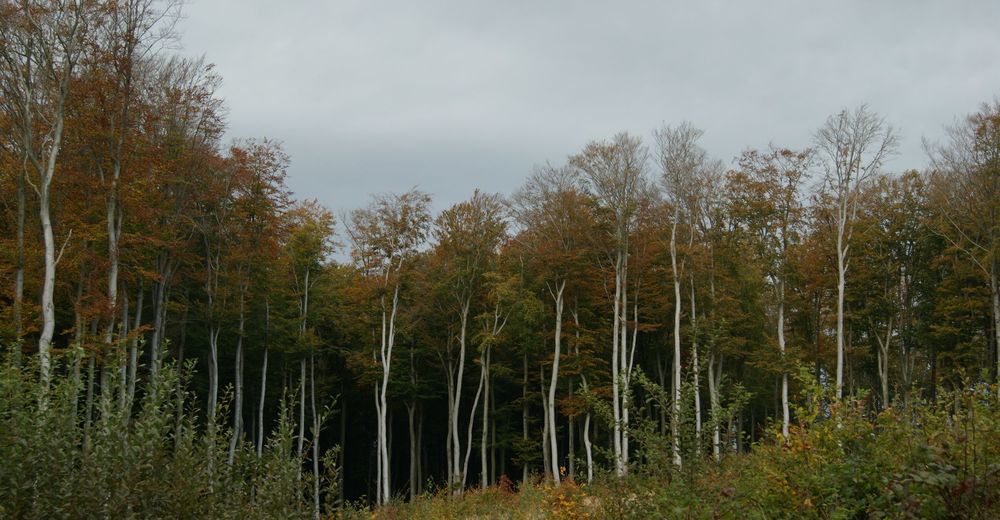
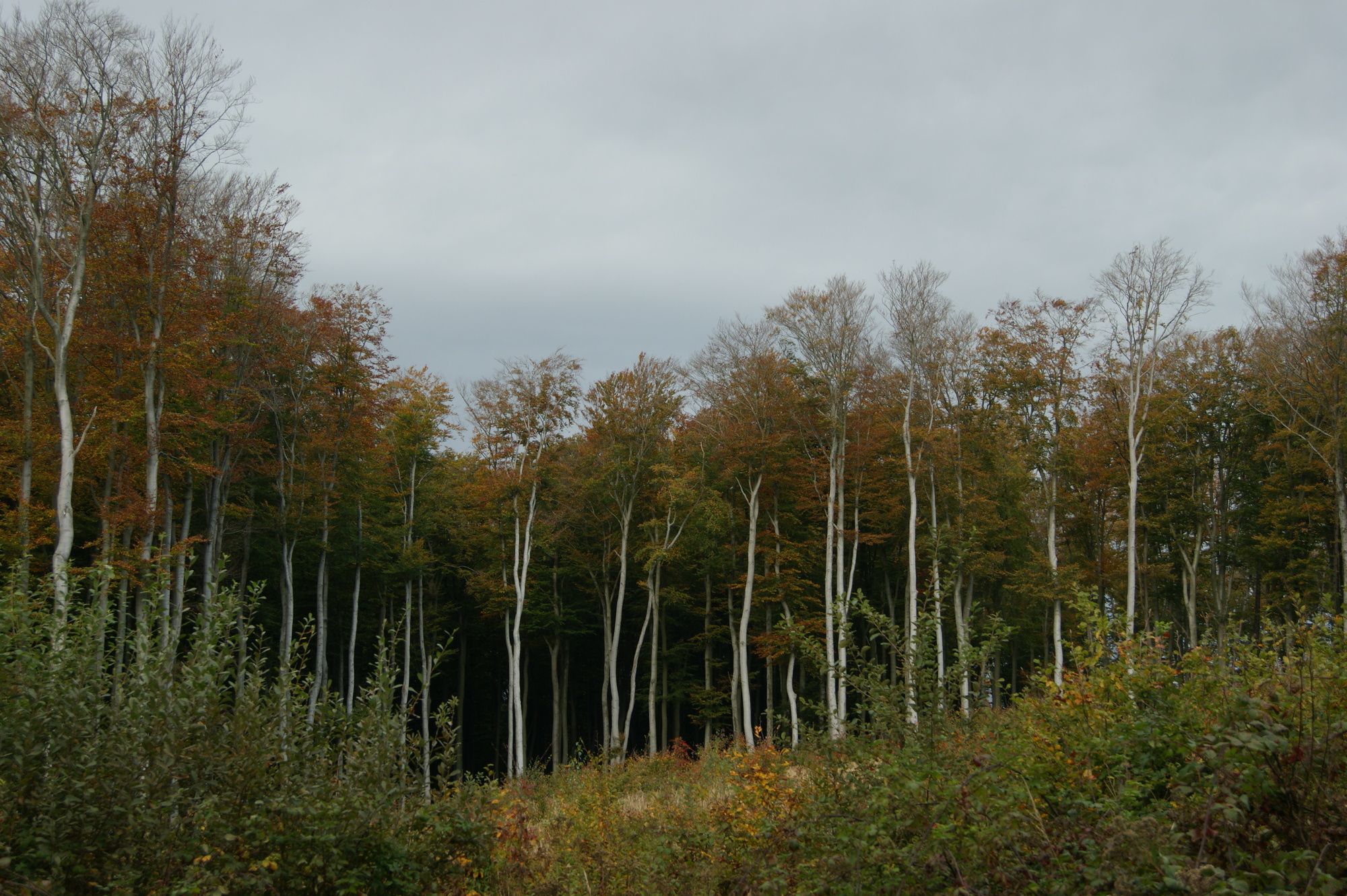
Foresta
Roccia
Esposta
Altri tour nelle regioni
-
Wienerwald
4208
-
Wien und Umgebung
2477
-
Mauerbach
1045