

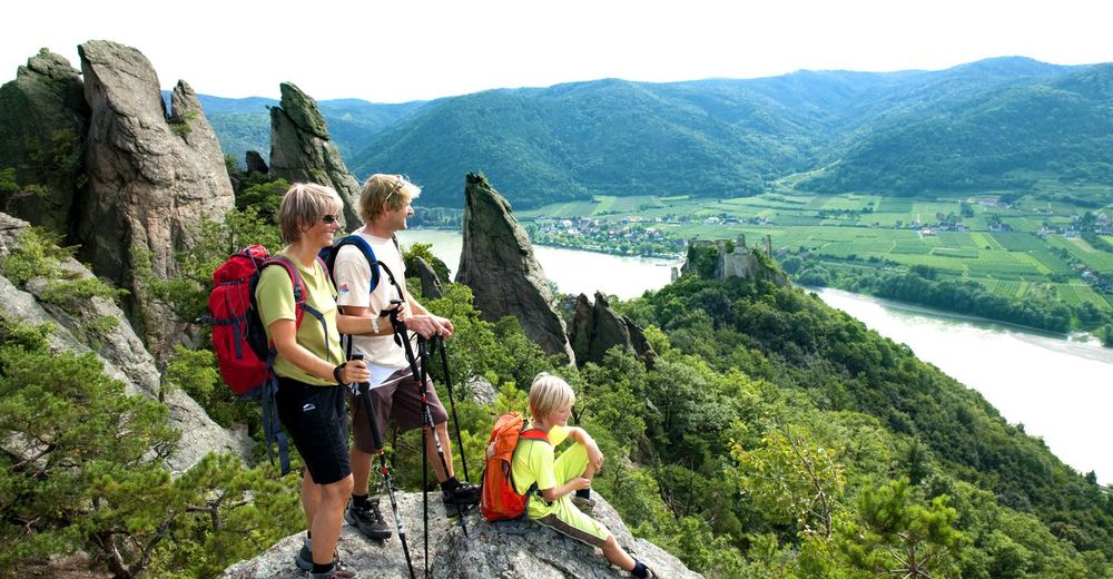
© Steve Haider
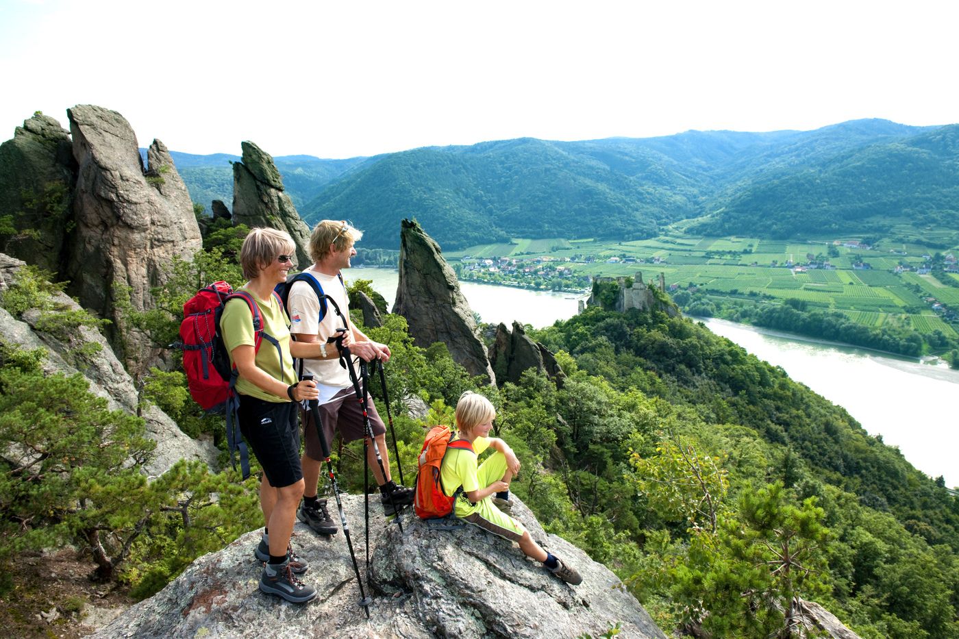
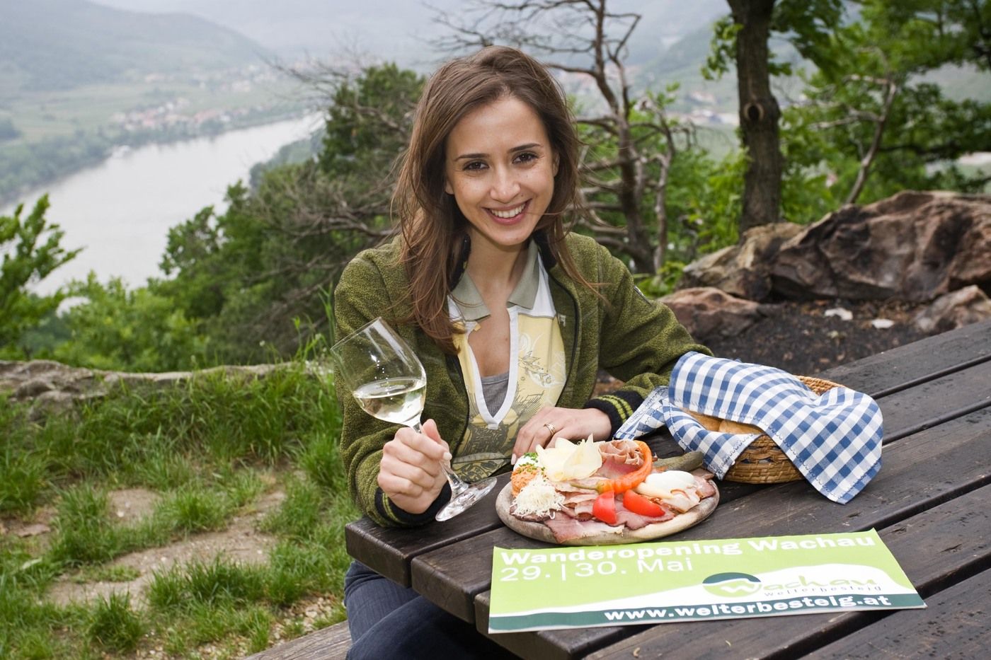
© NÖ Werbung

© NÖ Werbung

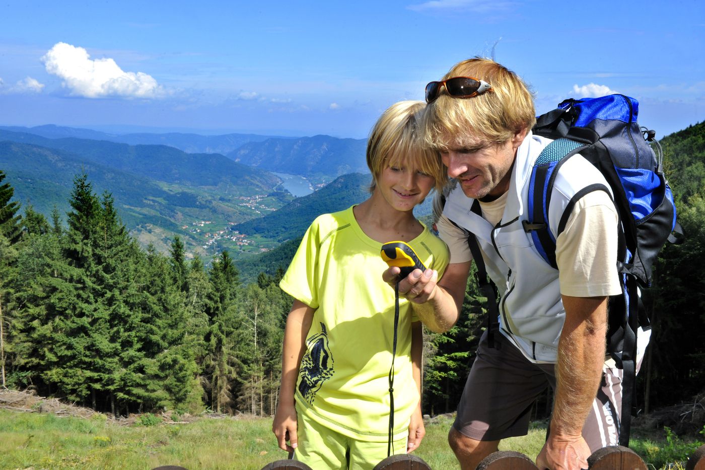
© Günter Kargl
Dati percorsi
16,2km
202
- 670m
626hm
04:03h
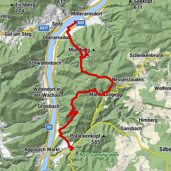
- Valutazione
-
- Percorso
-
Gasthof Lechner0,1 kmBurgrestaurant Aggstein4,0 kmFelsdach4,3 kmMaria Langegg7,7 kmBuchental14,1 kmHofarnsdorf16,0 kmPfarrkirche hl. Rupert16,2 km
- Punto più alto
- 670 m

GPS Downloads


Condizioni dei sentieri
Asfalto
Ghiaia
Prato
Foresta
Roccia
Esposta
Altri tour nelle regioni
-
Donau Niederösterreich
2286
-
Dunkelsteinerwald
1372
-
Spitz an der Donau
605


