
Dati percorsi
10,72km
847
- 1.459m
599hm
597hm
04:00h
- Descrizione rapida
-
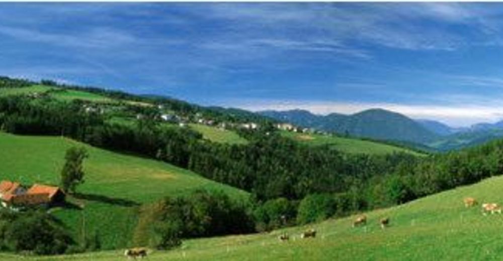
Schöner Rundwanderweg mit Gipfel (Kampstein, 1.467 m).
- Difficoltà
-
intermedio
- Valutazione
-
- Punto di partenza
-
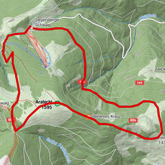
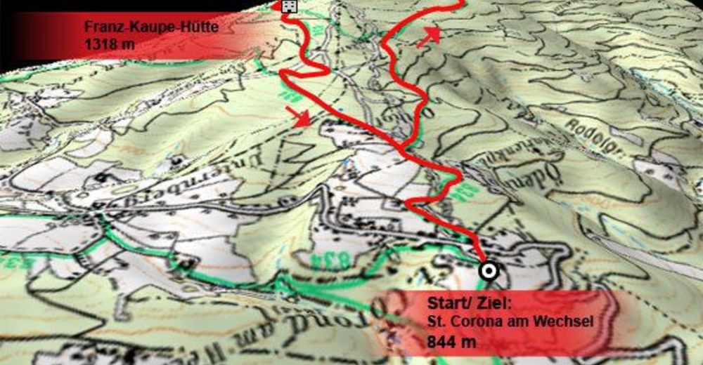
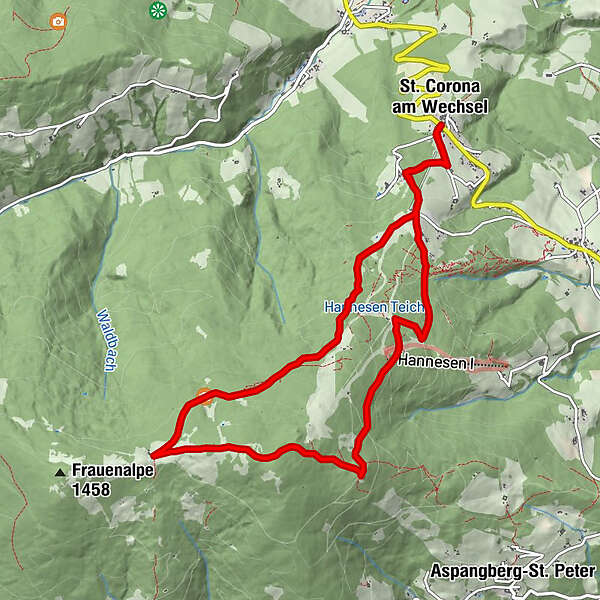
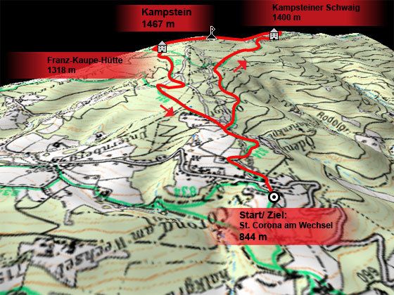
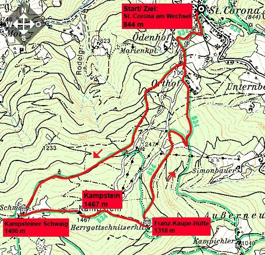
St. Corona am Wechsel (844 m).
- Percorso
-
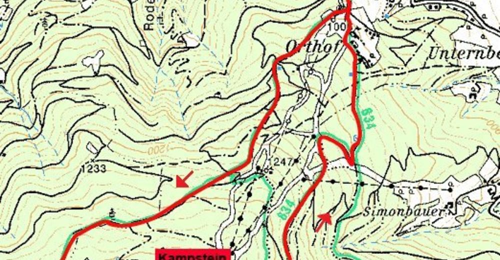
St. Corona am WechselPfarrkirche St. CoronaKampstein (1.467 m)5,4 kmHerrgottschnitzerhütte6,5 kmPfarrkirche St. Corona10,7 kmSt. Corona am Wechsel10,7 km
- La stagione migliore
-
genfebmaraprmaggiulugagosetottnovdic
- Punto più alto
- 1.459 m
- Riposo/Ritiro
-
Almrauschhütte, Kampsteiner Schwaig, Franz Kaupe Hütte (auch Herrgottschnitzerhütte), Orthof.
- Cartine

GPS Downloads


Condizioni dei sentieri
Asfalto
Ghiaia
Prato
Foresta
Roccia
Esposta
Altri tour nelle regioni
-
Wiener Alpen
3041
-
Wechselland - Wiener Alpen
1702
-
St. Corona am Wechsel
449