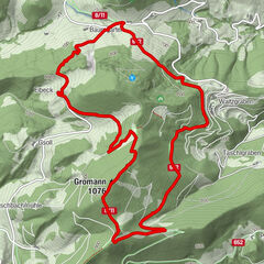
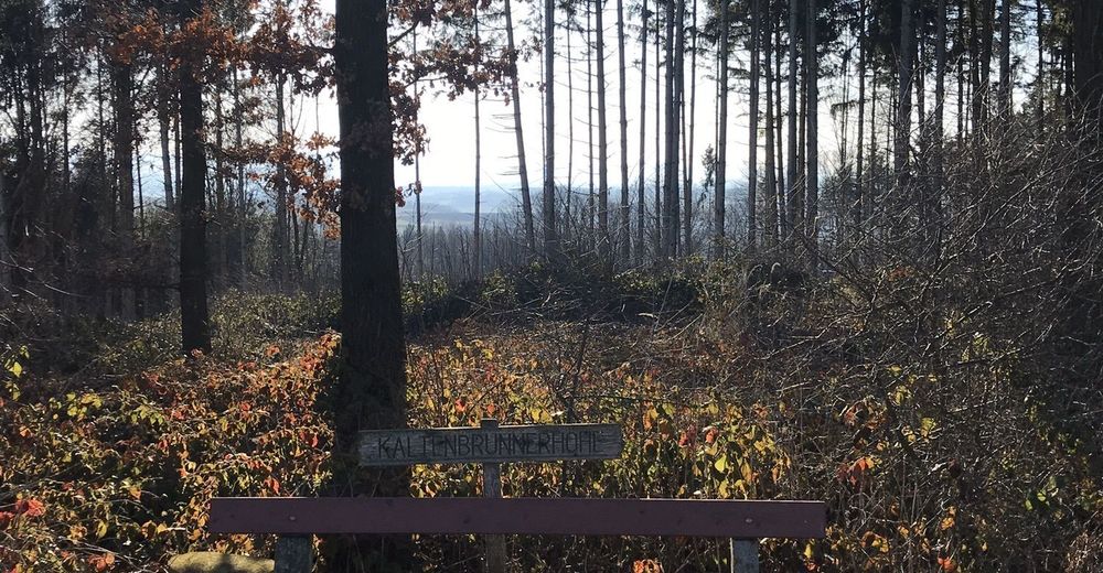
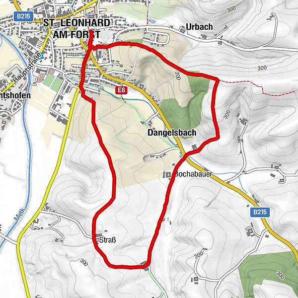
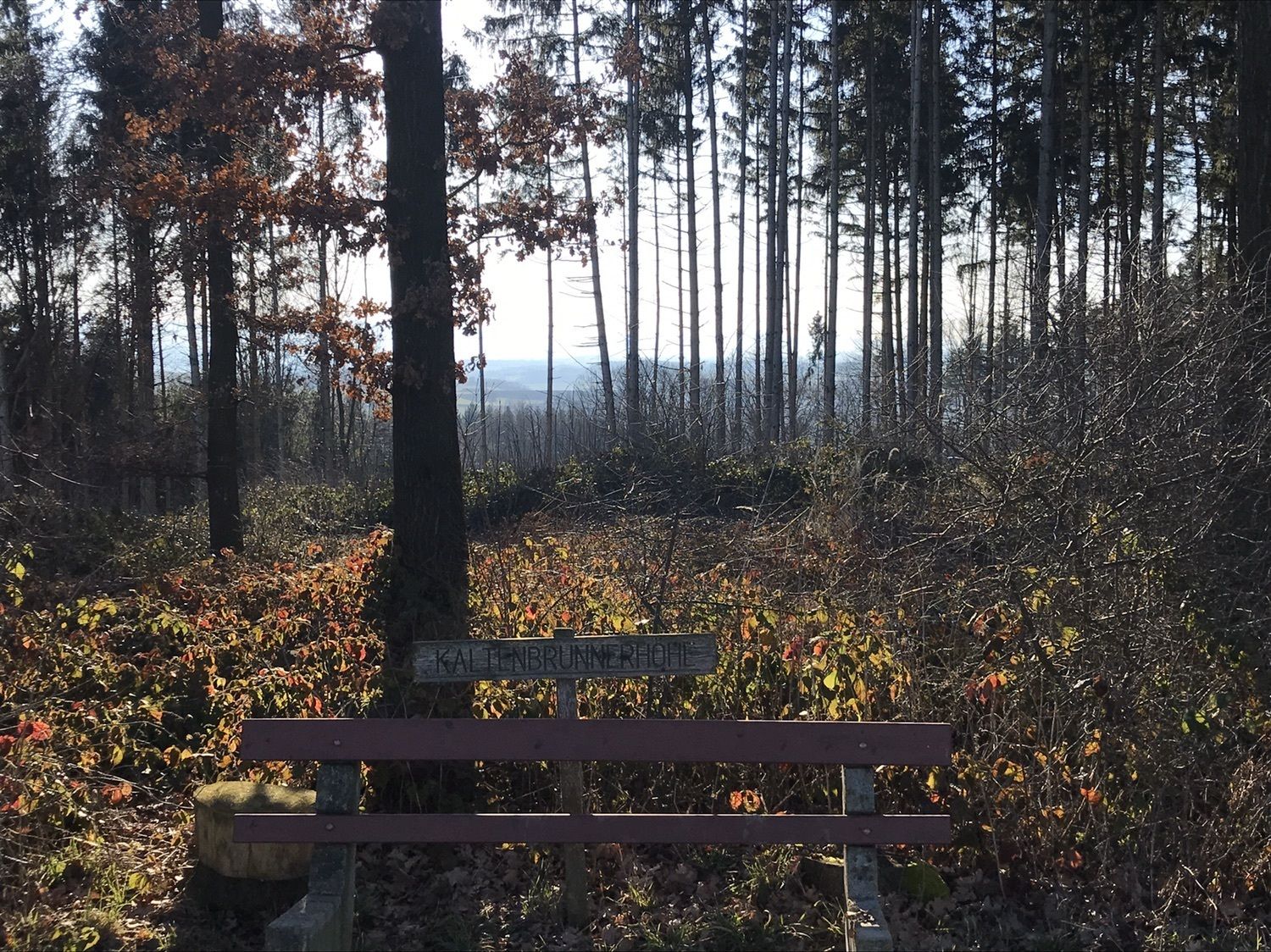
St. Leonhard: Kalterbrunnerhöhe Panoramarundweg

Escursionismo
Dati percorsi
5,74km
241
- 322m
127hm
117hm
01:15h
- Descrizione rapida
-
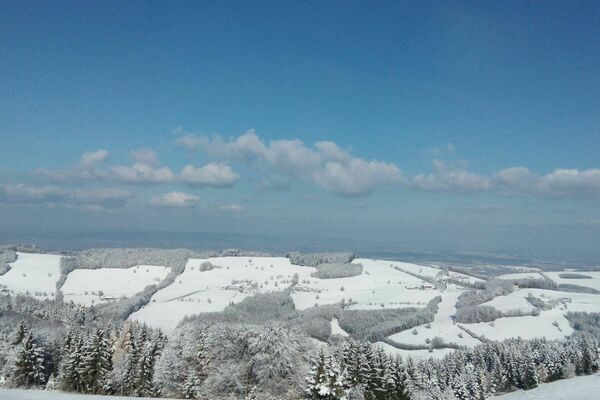
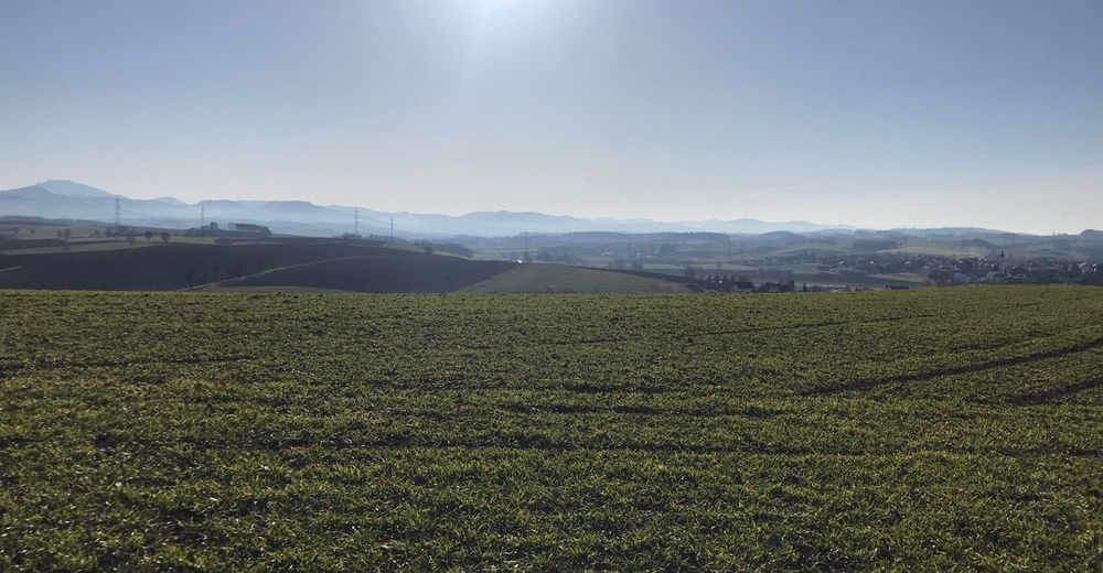
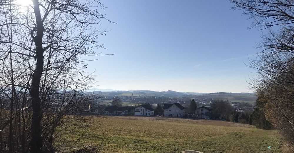
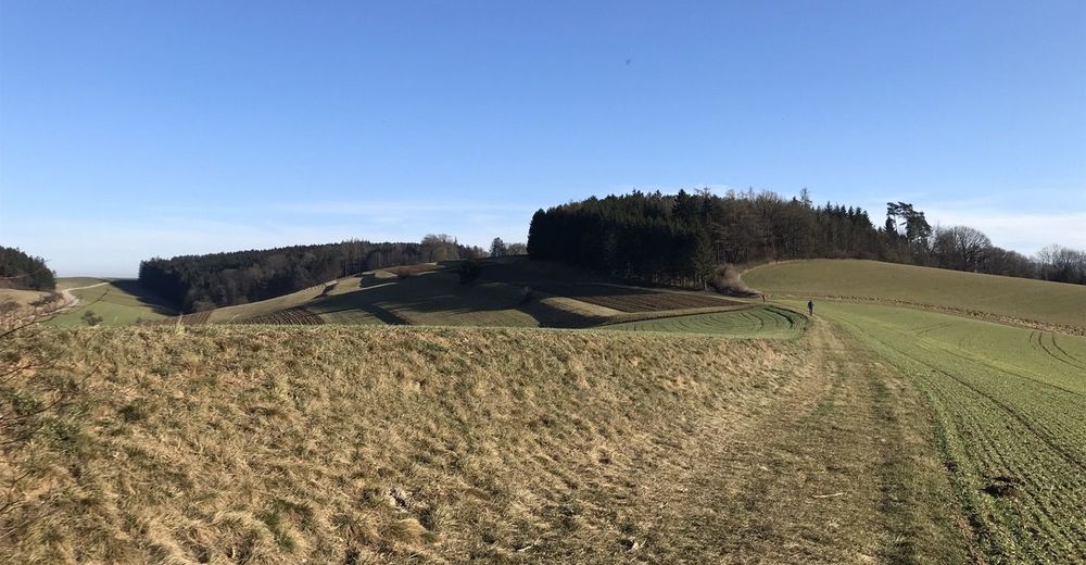
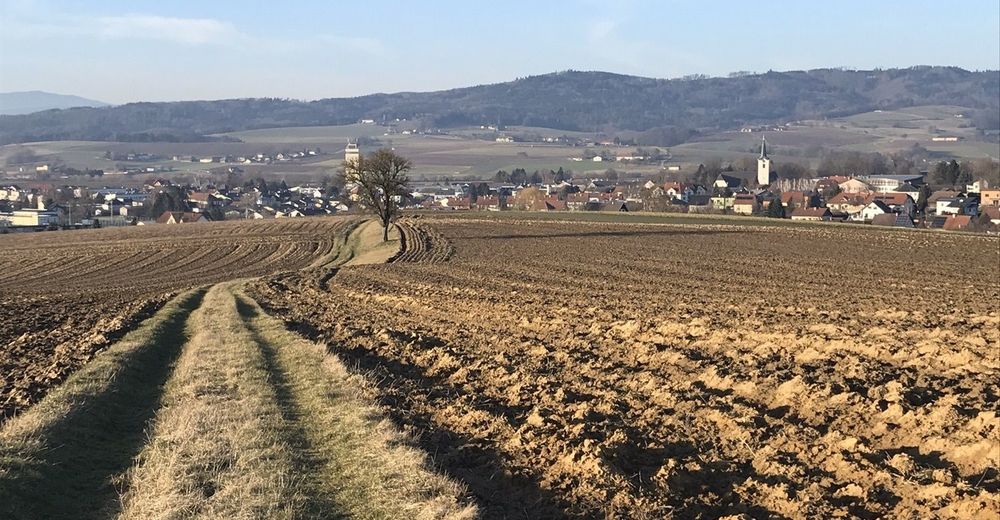
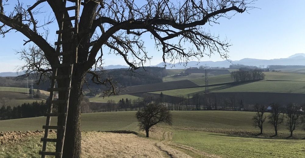
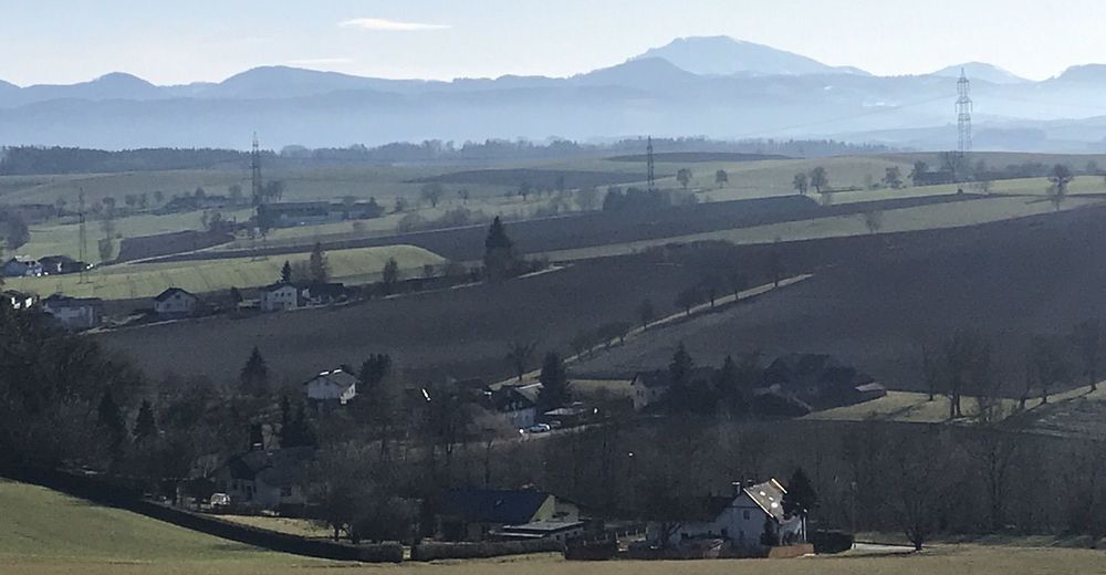
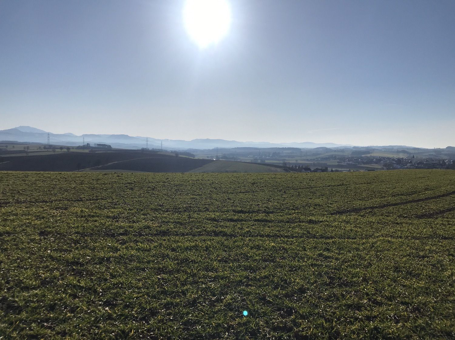
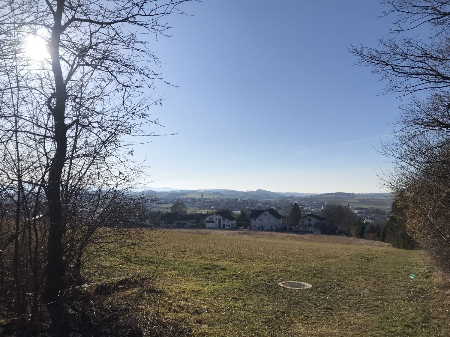
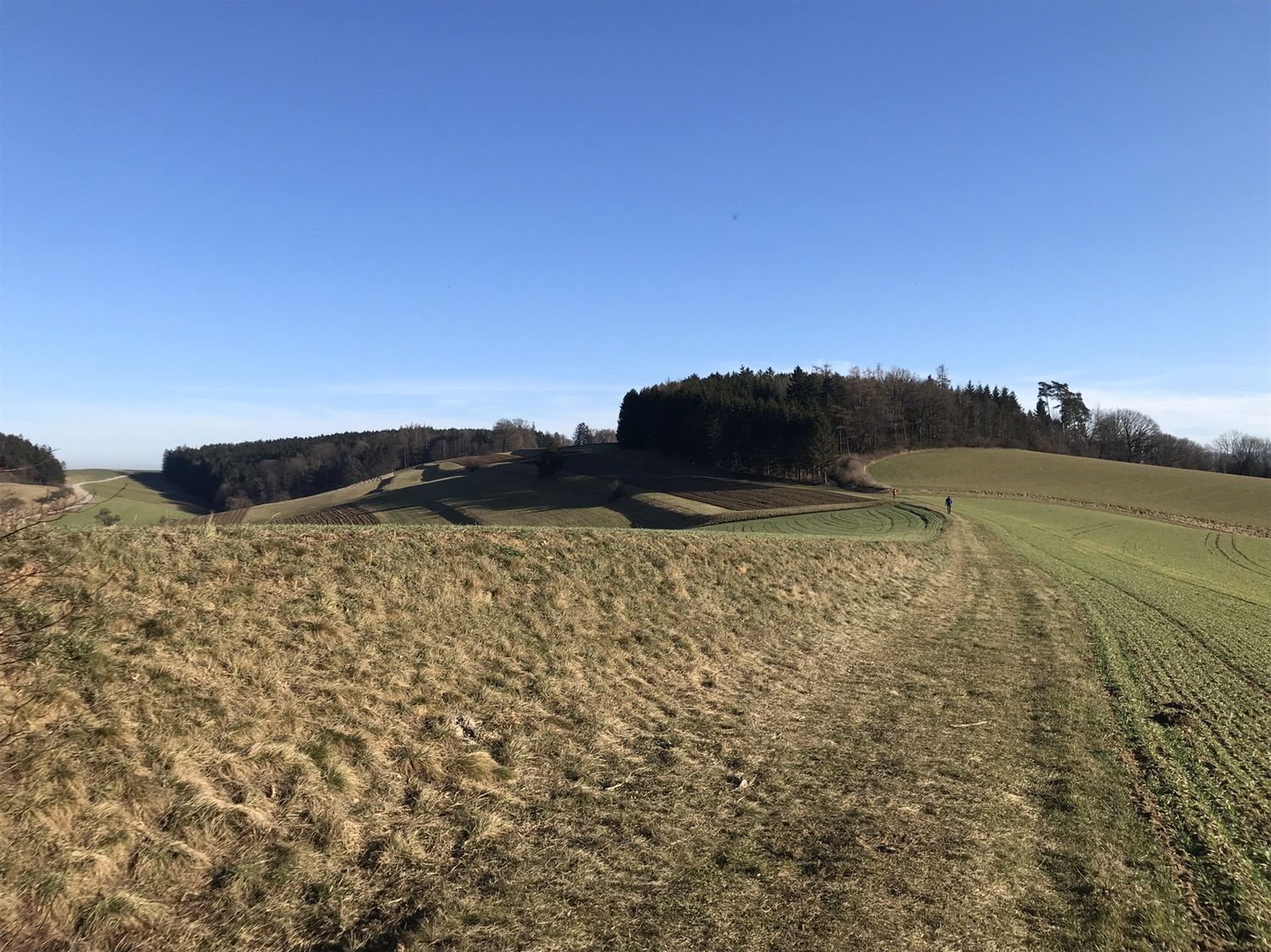
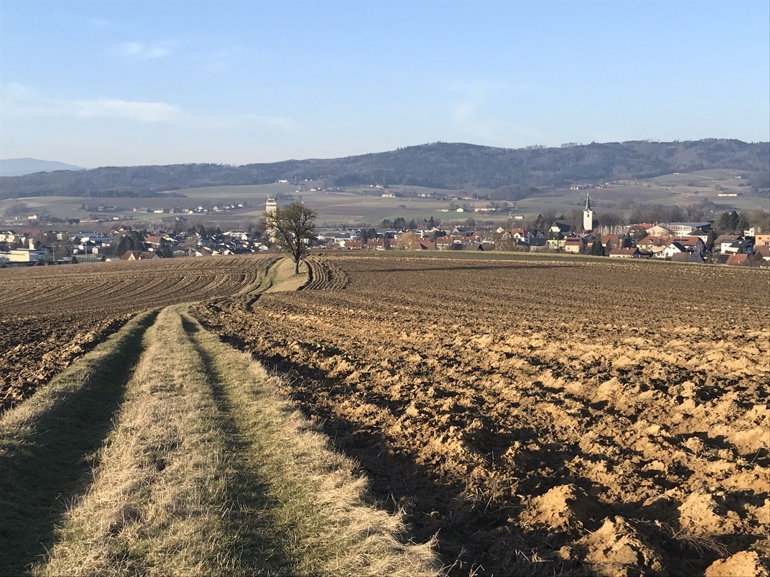
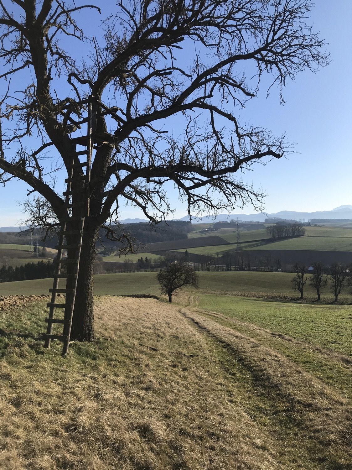
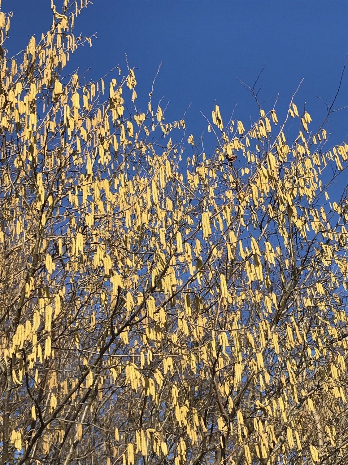
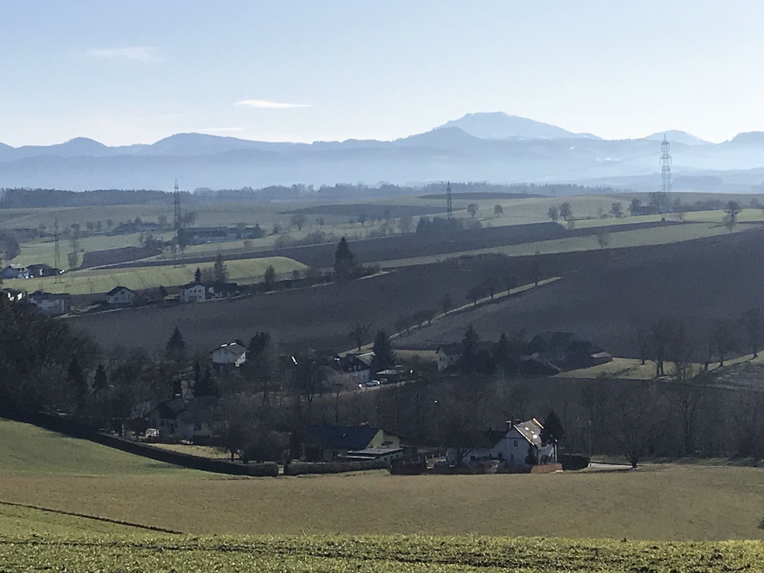
Panoramarundweg über die Kaltenbrunnerhöhe mit Aussicht auf das Melktal und bis zum Ötscher.
- Difficoltà
-
facile
- Valutazione
-
- Punto di partenza
-
Kirche St. Leonhard am Forst
- Percorso
-
St. Leonhard am ForstUrbachsiedlung0,4 kmUrbach1,1 kmDangelsbach2,1 kmSt. Leonhard am Forst5,7 kmUrbachsiedlung5,7 km
- La stagione migliore
-
genfebmaraprmaggiulugagosetottnovdic
- Punto più alto
- 322 m
- Destinazione
-
Kirche St. Leonhard am Forst
- Riposo/Ritiro
-
Am Hauptplatz in St. Leonhard:
1 Bäckerei und Café Holzgruber
2 Bäckerei und Café Hager
3 d'Greisslerei


- Fonte
- Marianne Porskrog
GPS Downloads


Condizioni dei sentieri
Asfalto
(20%)
Ghiaia
Prato
(80%)
Foresta
Roccia
Esposta
Altri tour nelle regioni