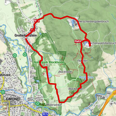
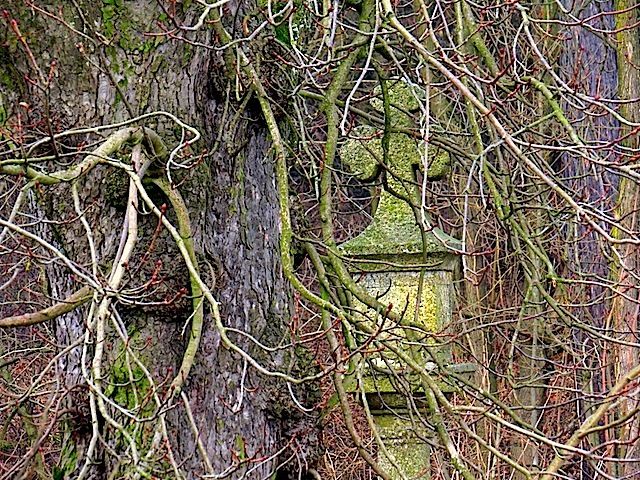
© ZWalk.at

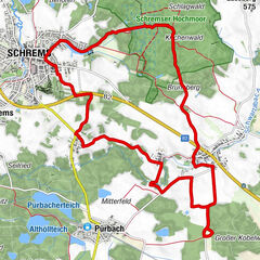
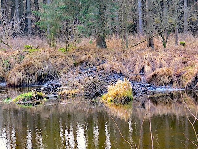
© ZWalk.at

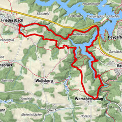
© ZWalk.at
Dati percorsi
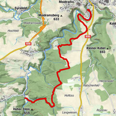
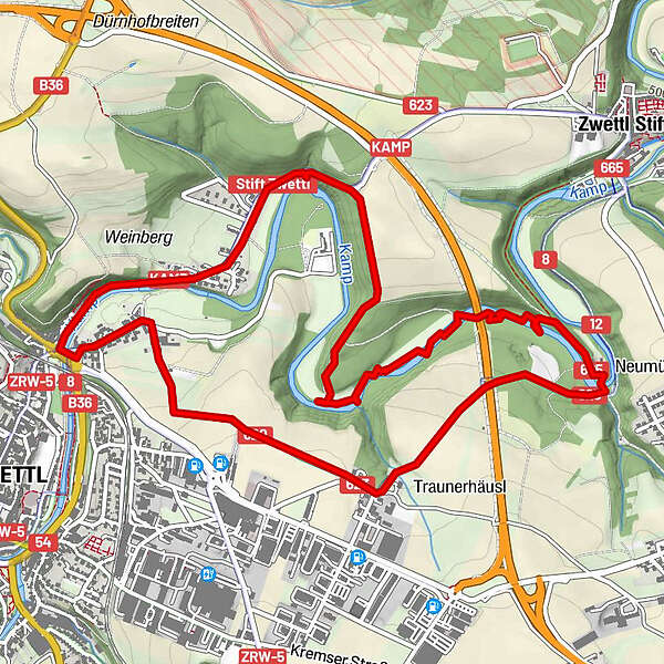
6,84km
501
- 551m
84hm
81hm
02:00h
- Descrizione rapida
-
Die Tour führt durch eine typische, leicht hügelige Waldviertler Landschaft. Es geht durch Felder, Wiesen und Wälder, die sich ständig abwechseln.
- Difficoltà
-
facile
- Valutazione
-
- Punto di partenza
-
Zwettl Oberhof
- Percorso
-
Zwettl0,1 kmKampsiedlung0,7 kmBozener Siedlung1,0 km
- Punto più alto
- 551 m

- Fonte
- ZWalk
GPS Downloads


Altri tour nelle regioni
-
Waldviertel
1778
-
Waldviertel Mitte
1246
-
Zwettl
247