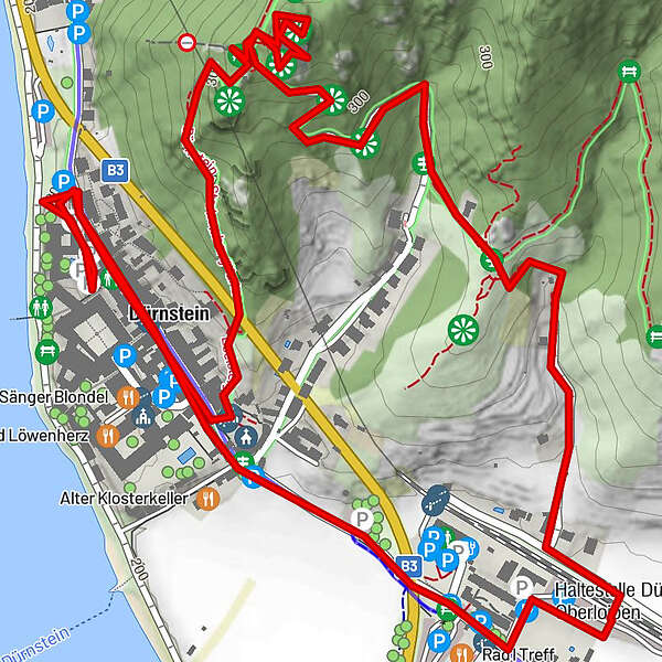
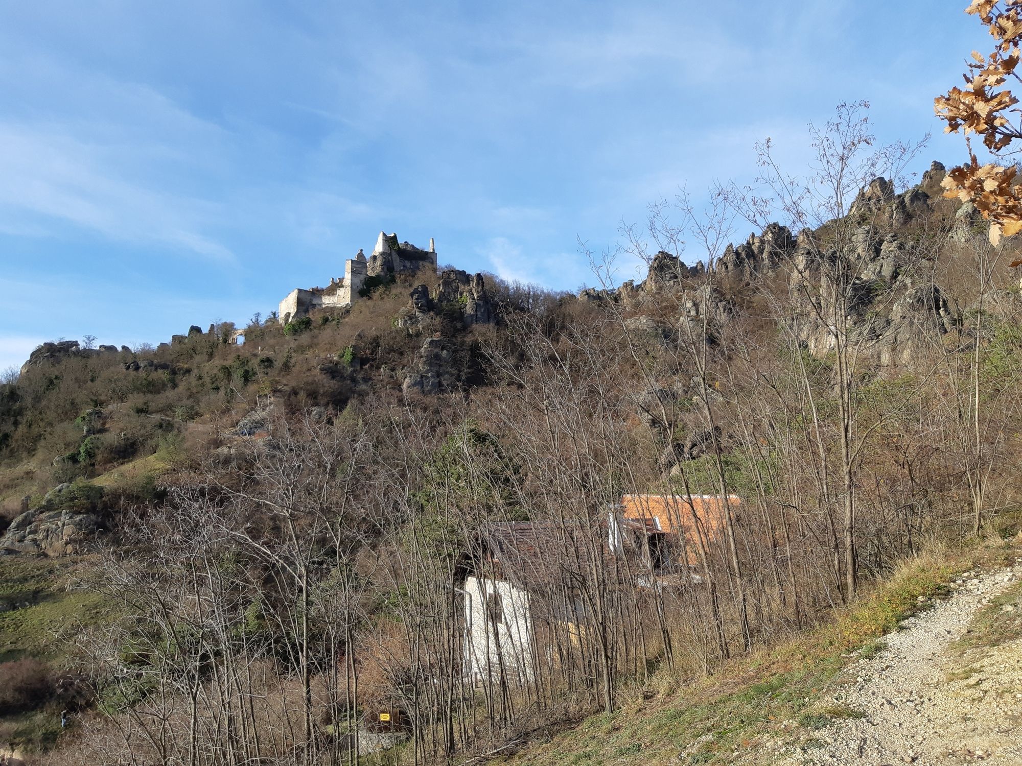
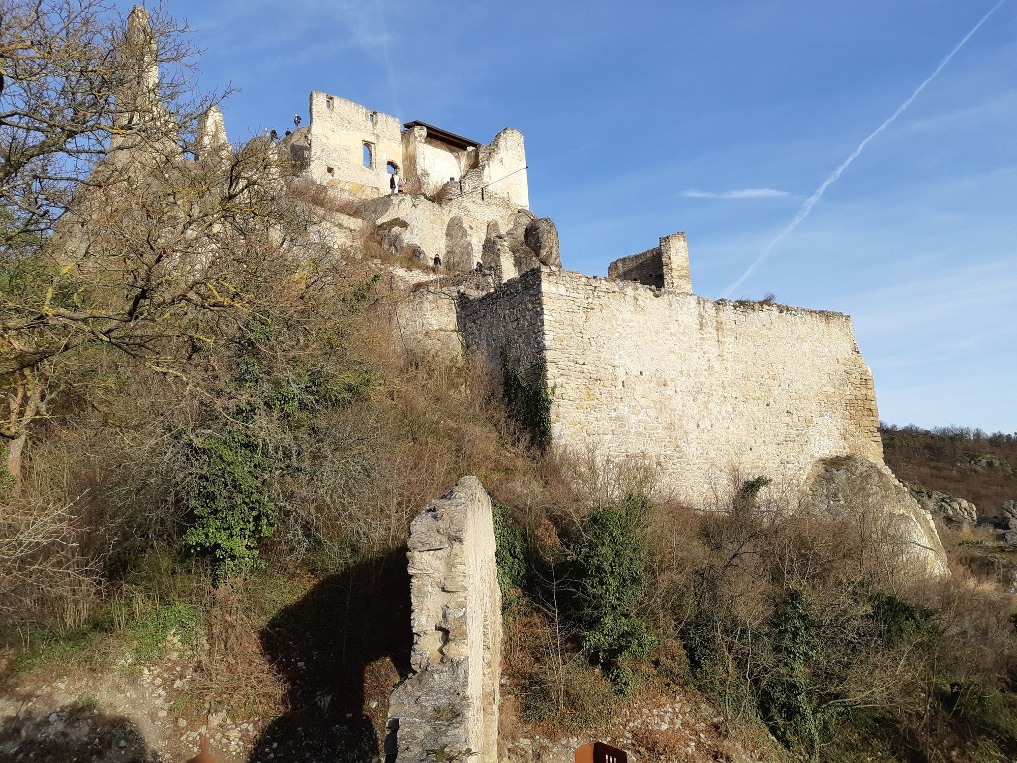
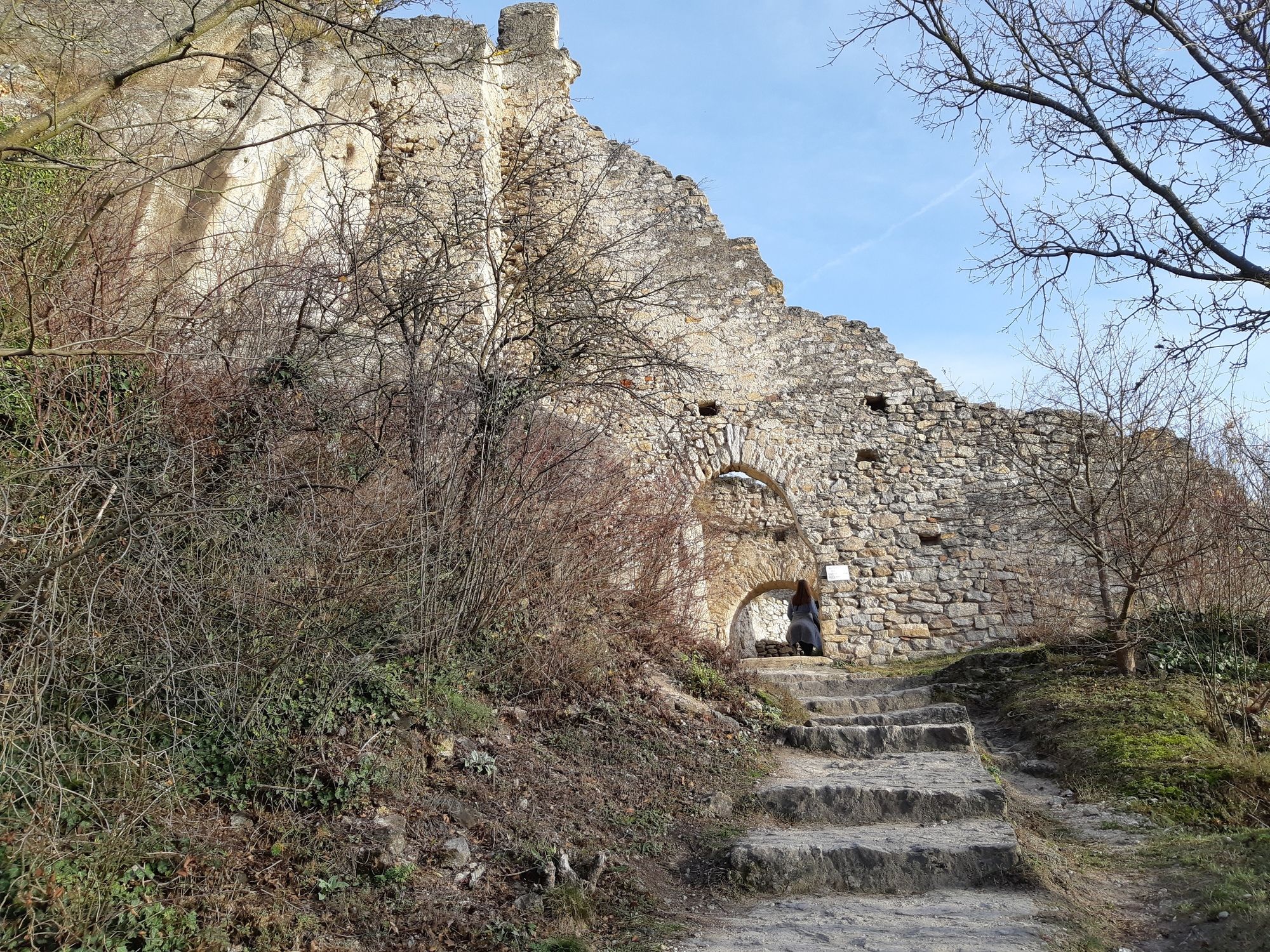
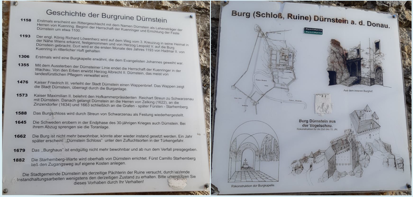
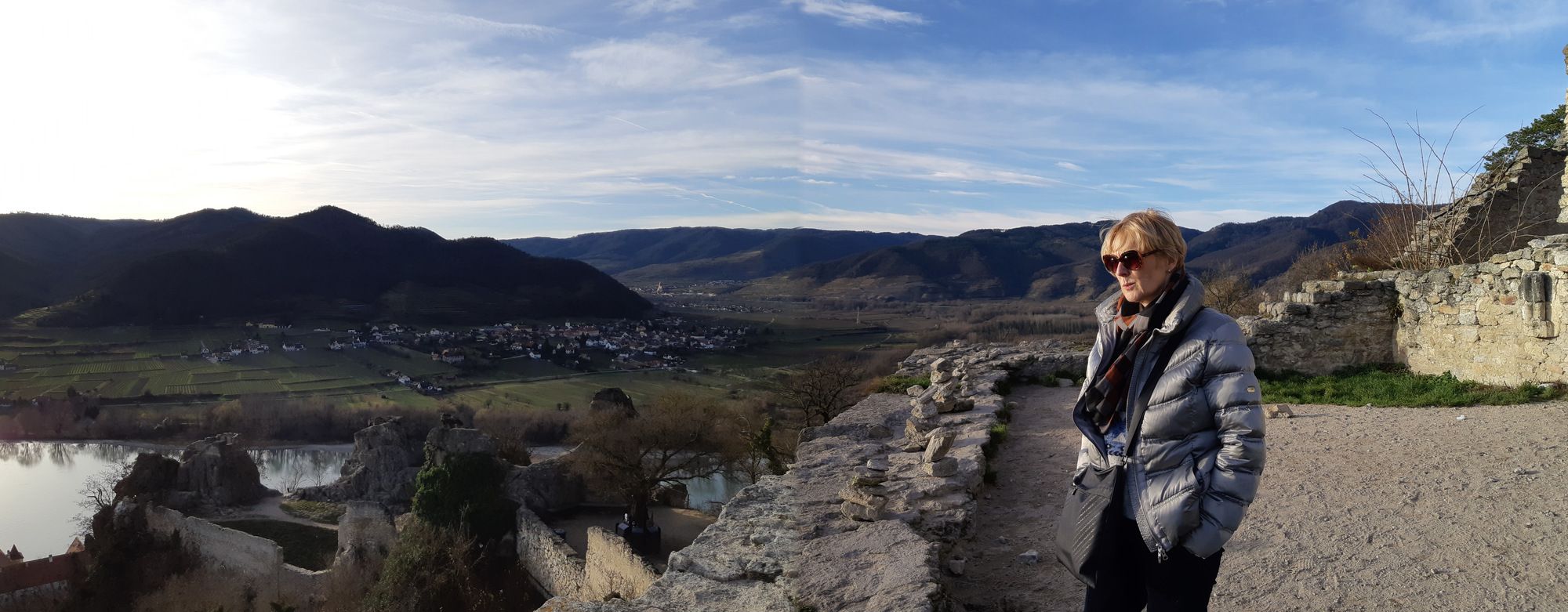
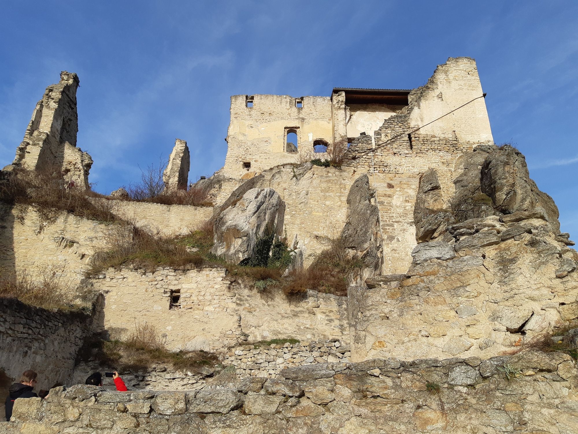
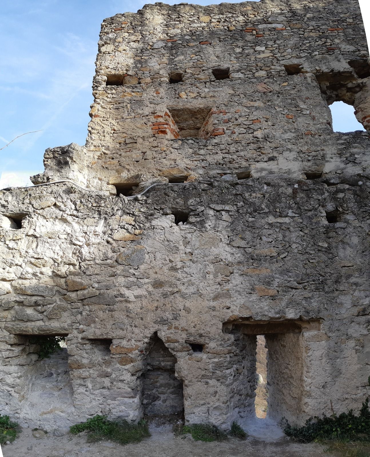
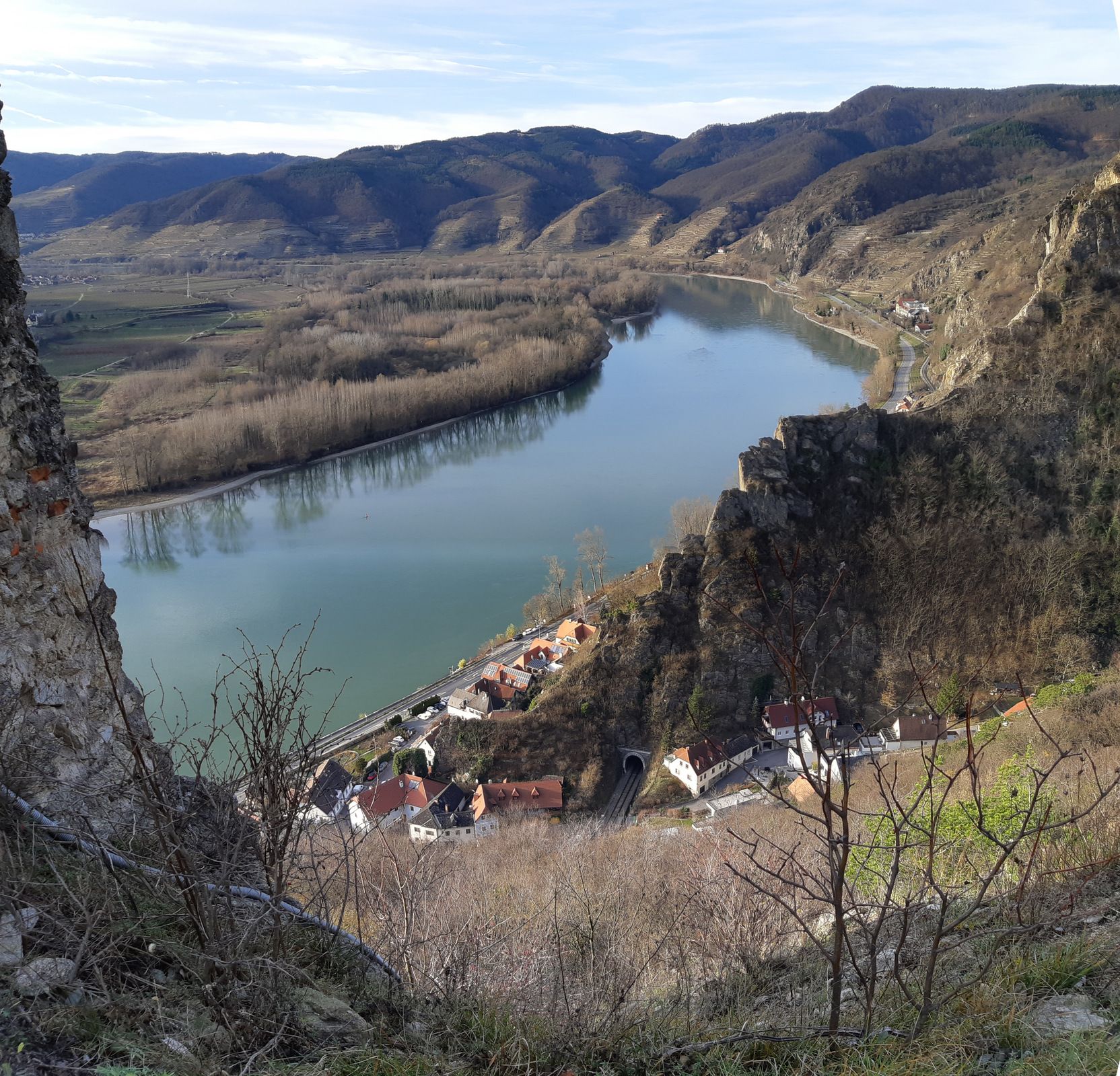
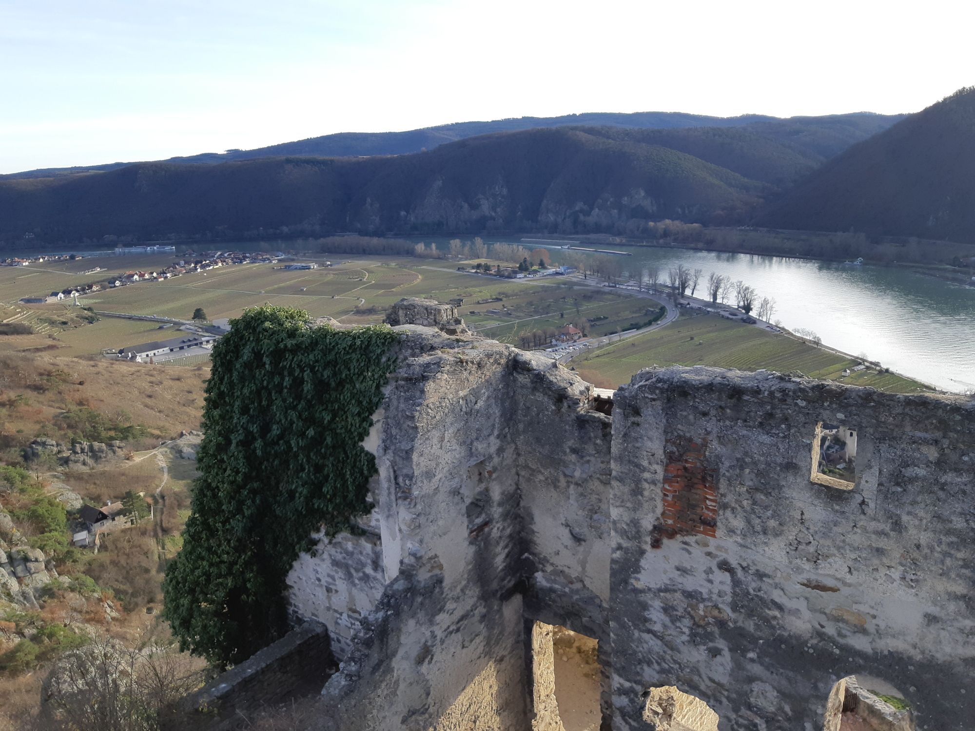
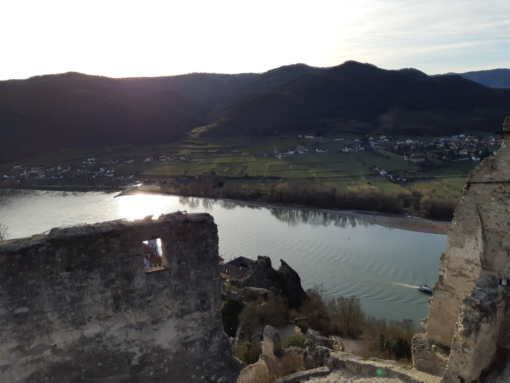
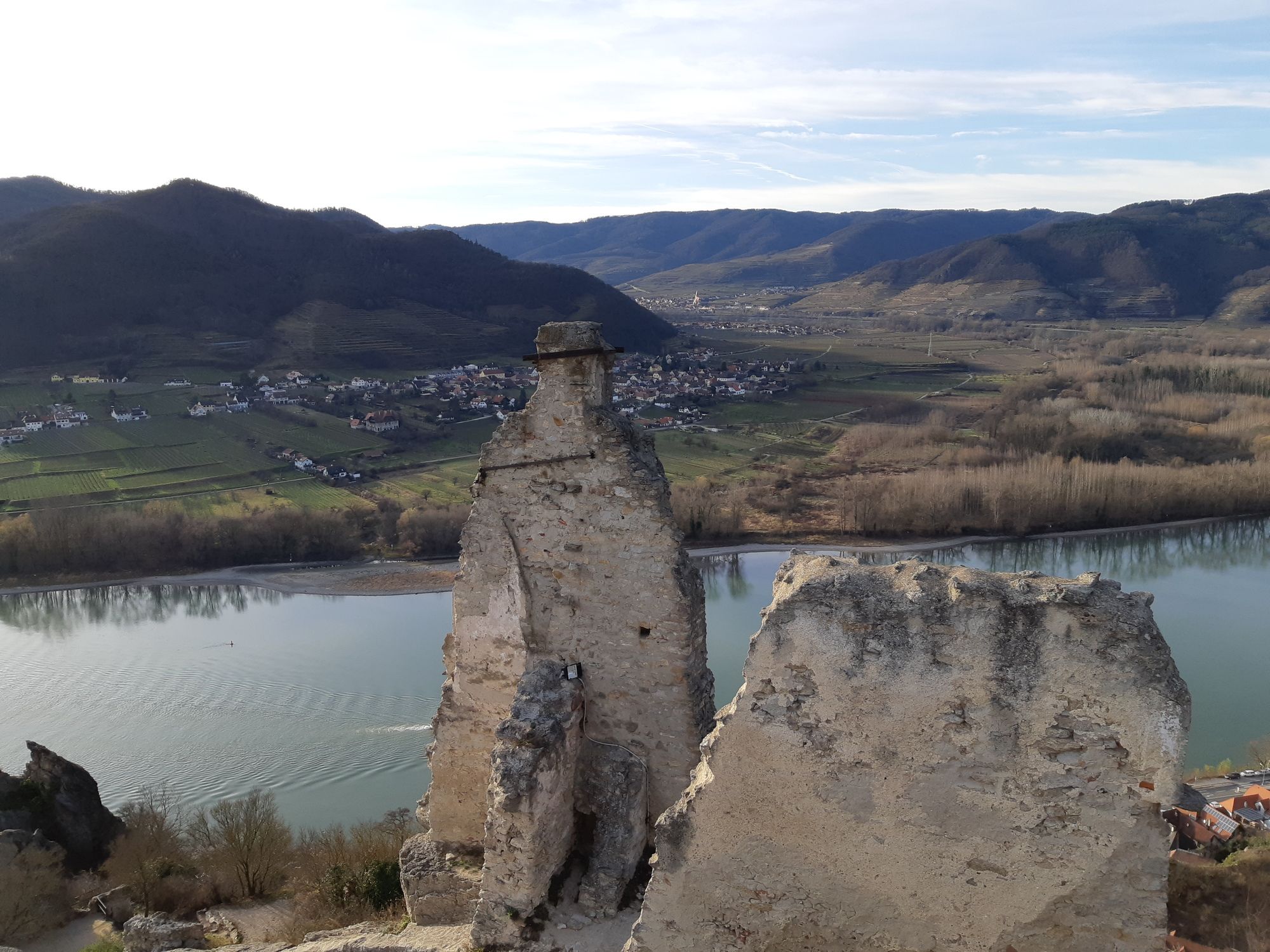
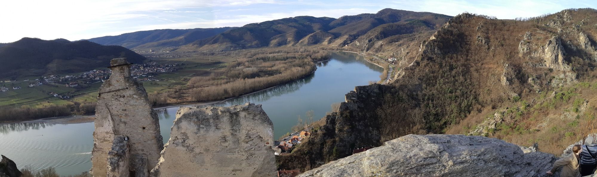
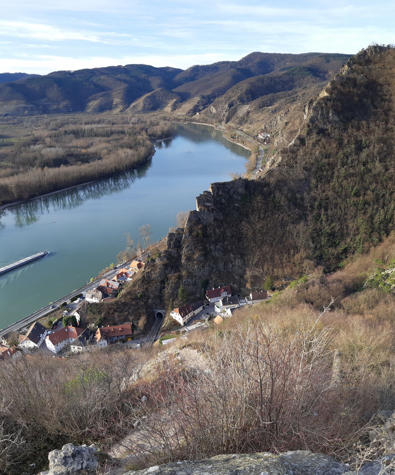
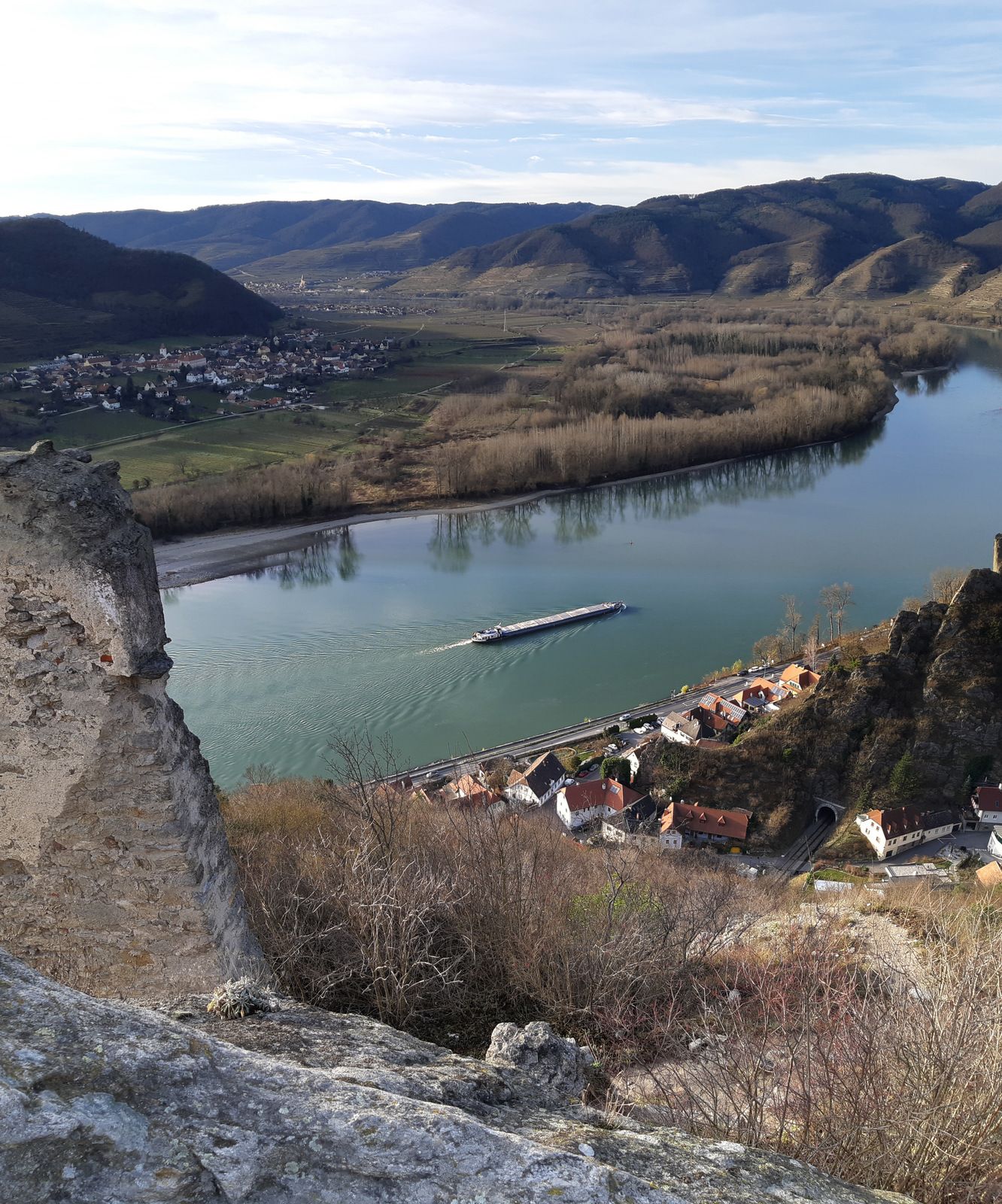
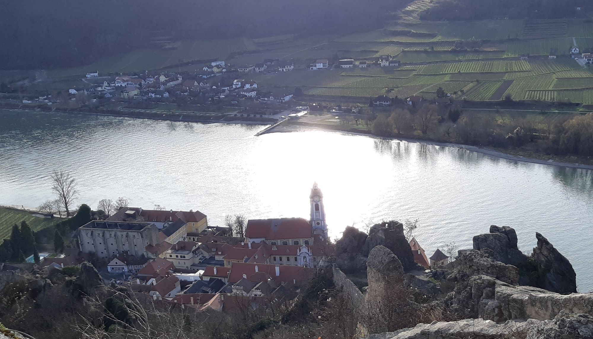
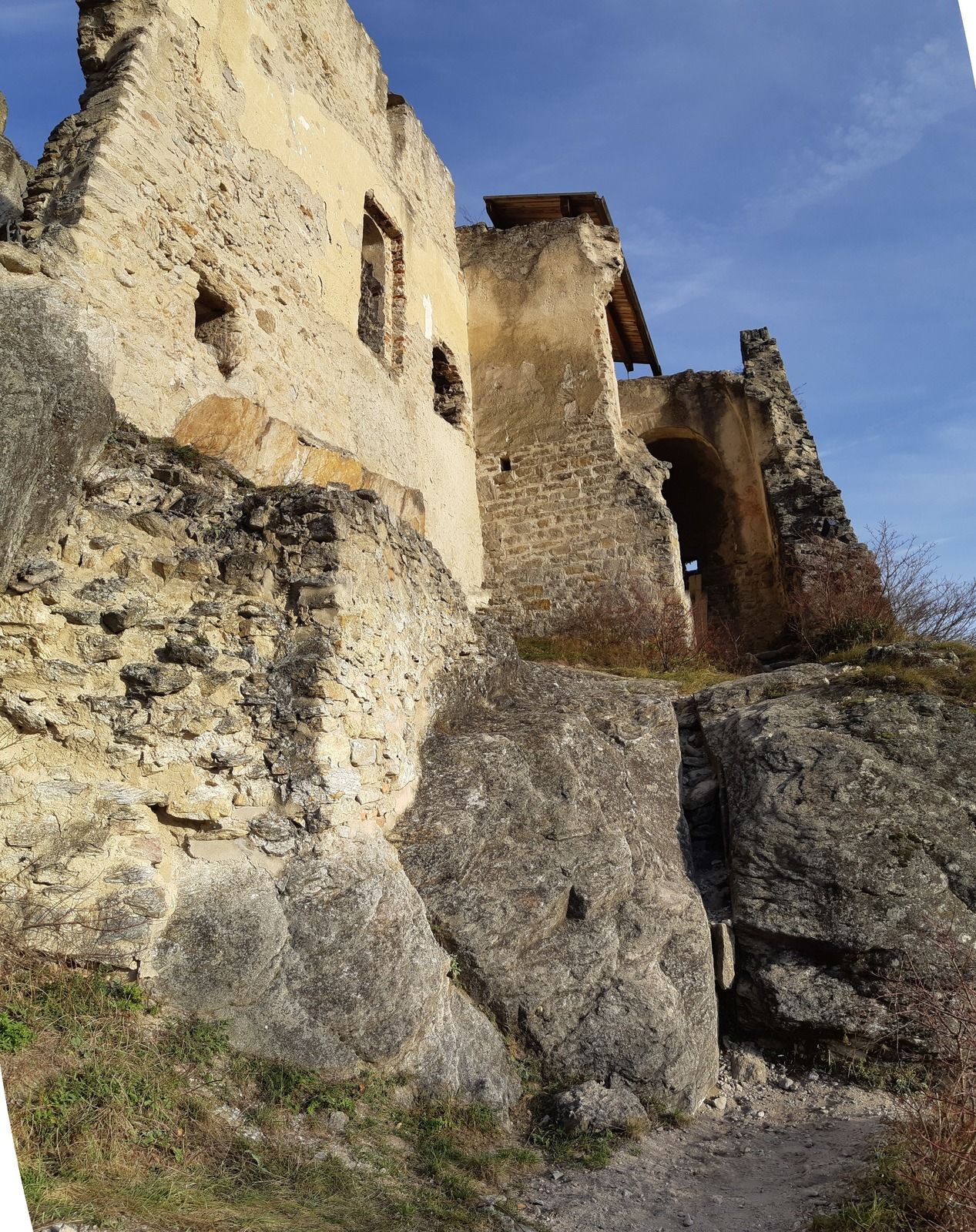
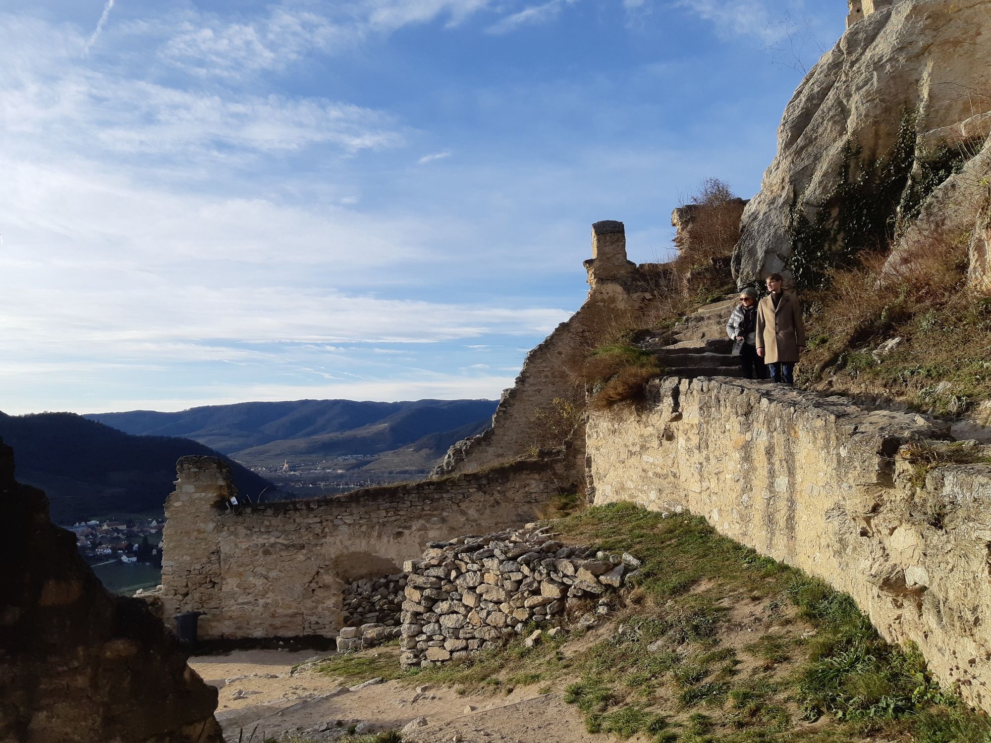
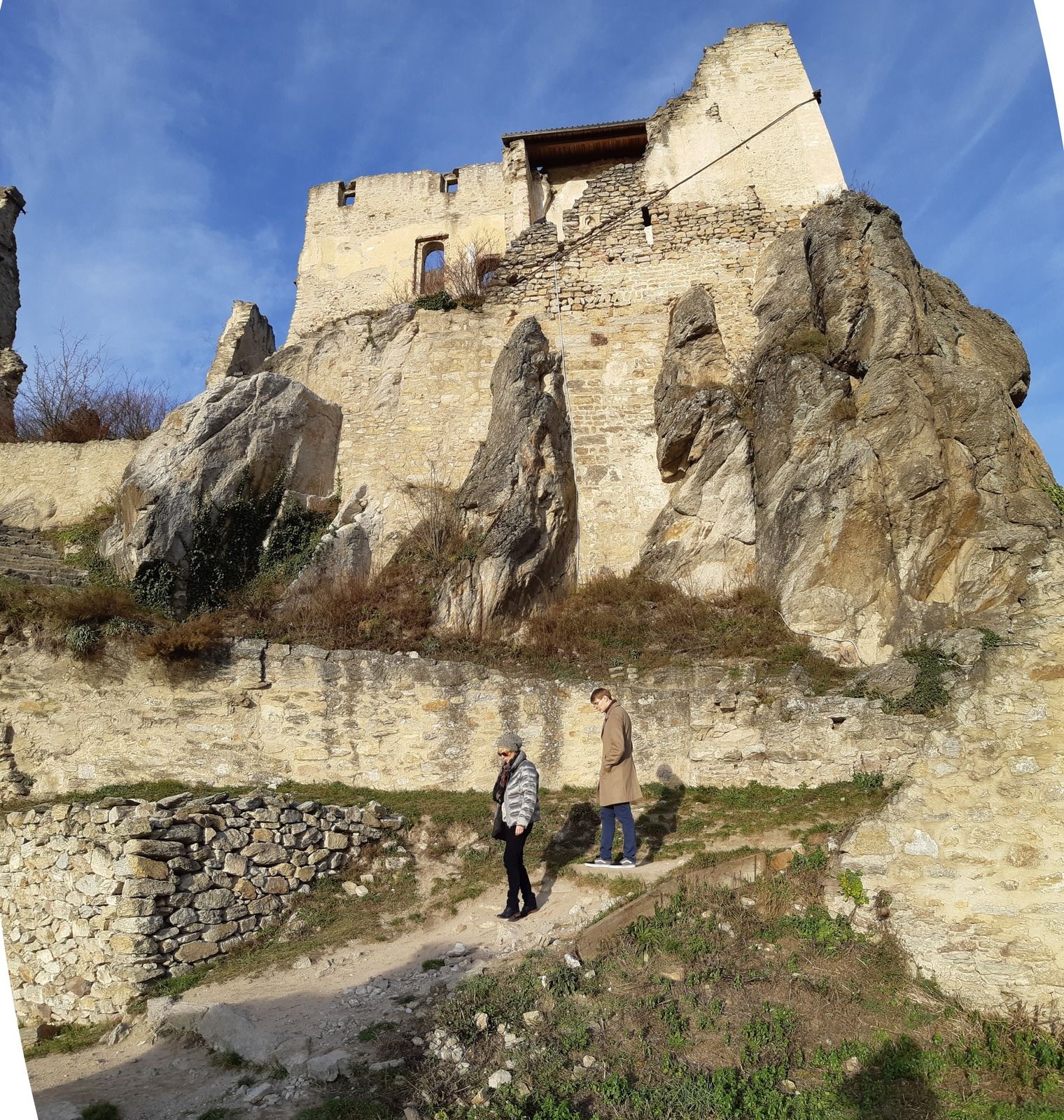
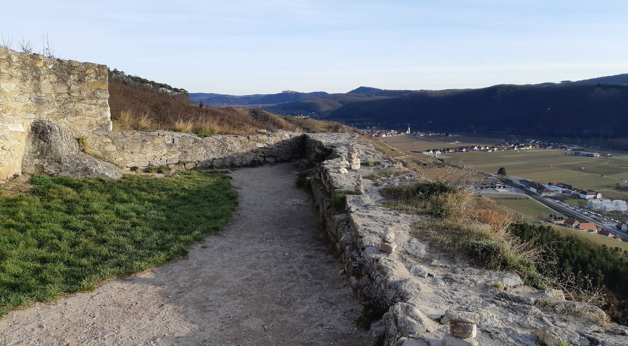
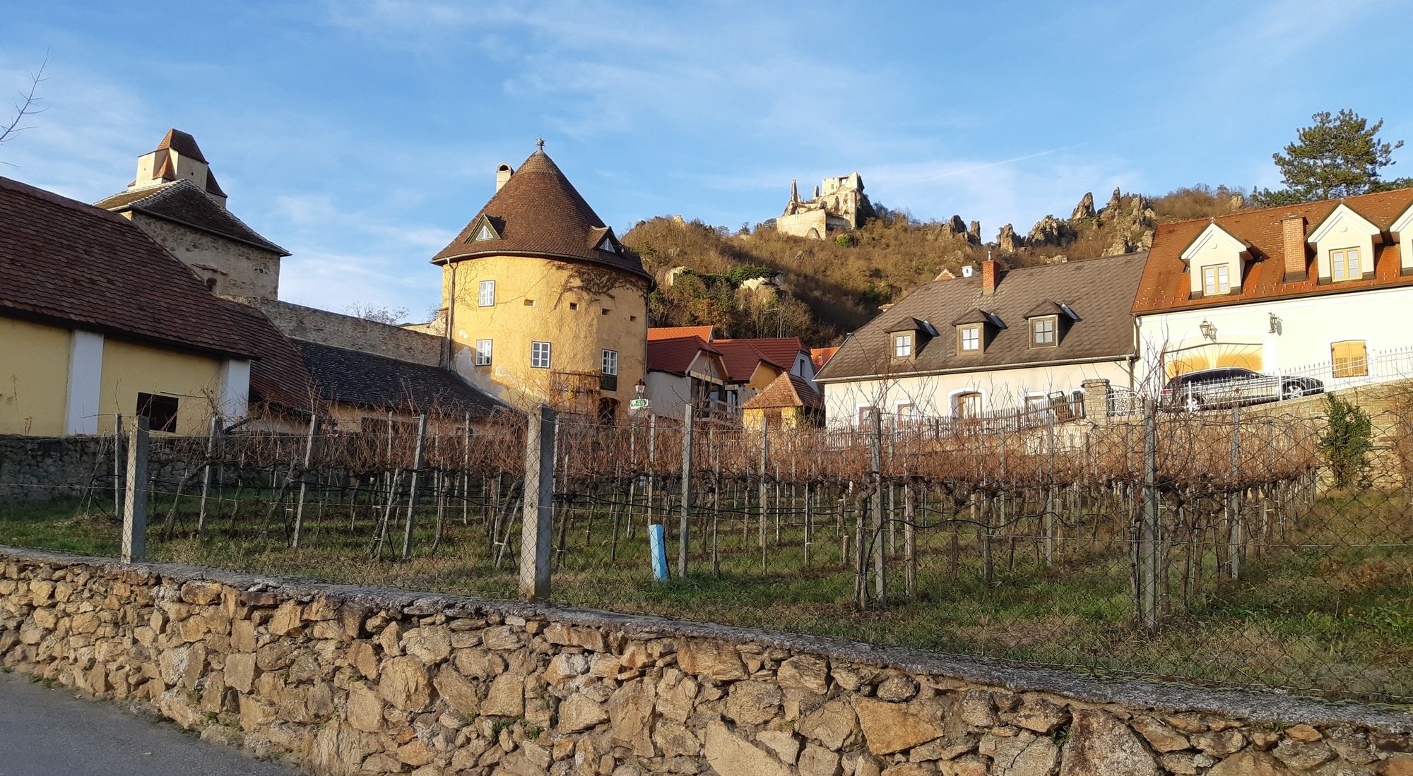
DÜRNSTEIN Ruine Dürnstein Stadt Dürnstein 20191208

Escursionismo

© hel

© hel

© hel

© hel

© hel

© hel

© hel

© hel

© hel

© hel
Dati percorsi
3km
206
- 312m
115hm
115hm
01:30h
- Descrizione rapida
-
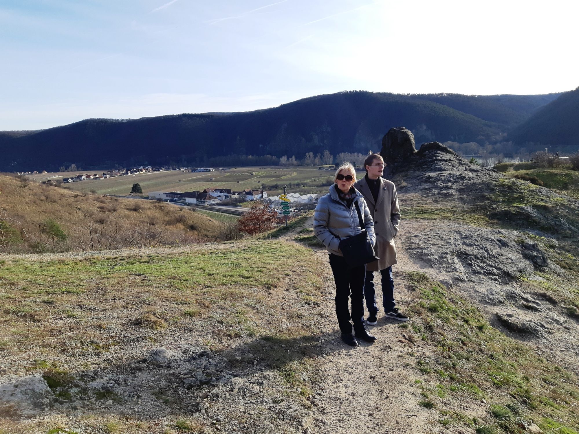
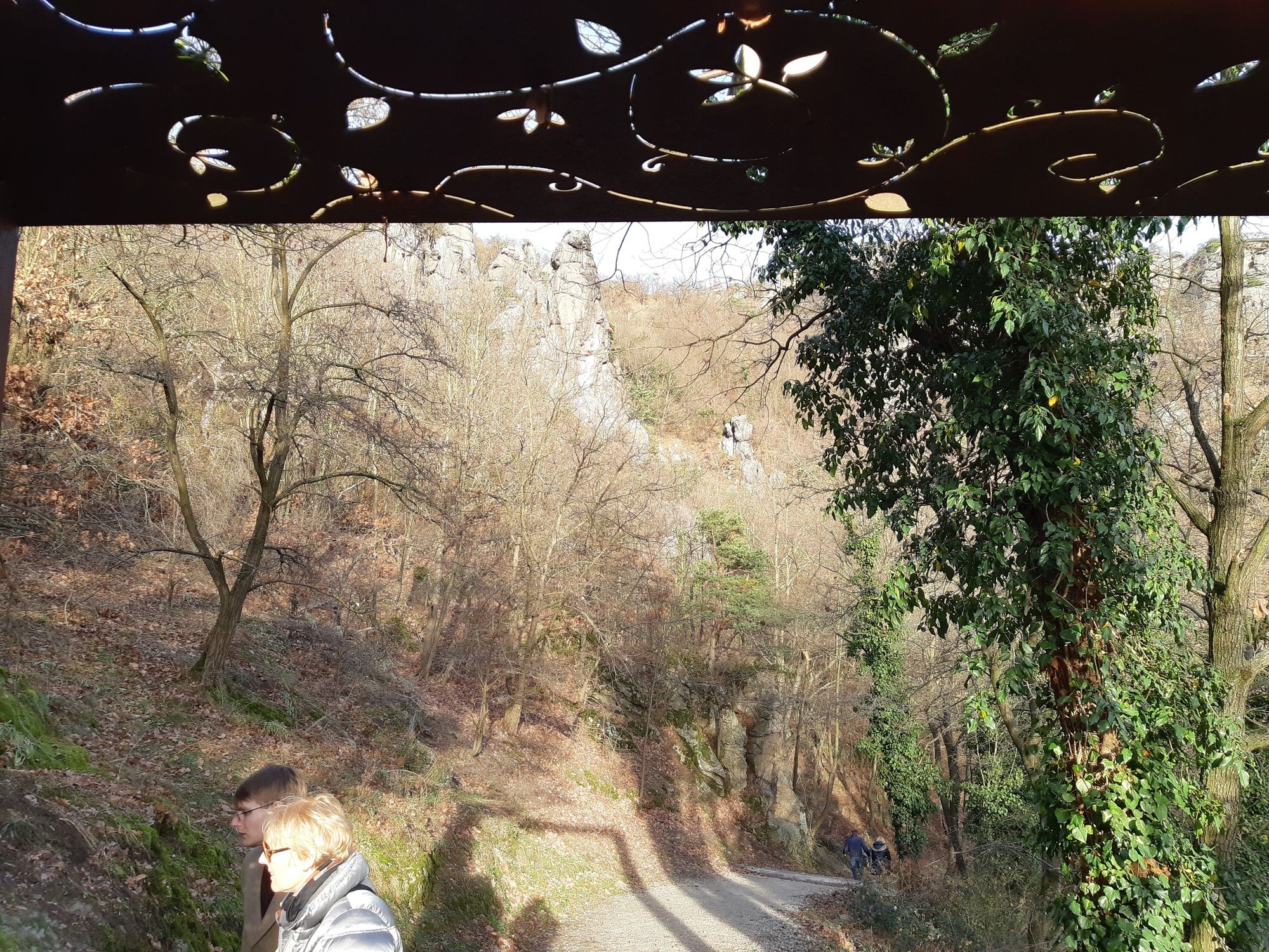
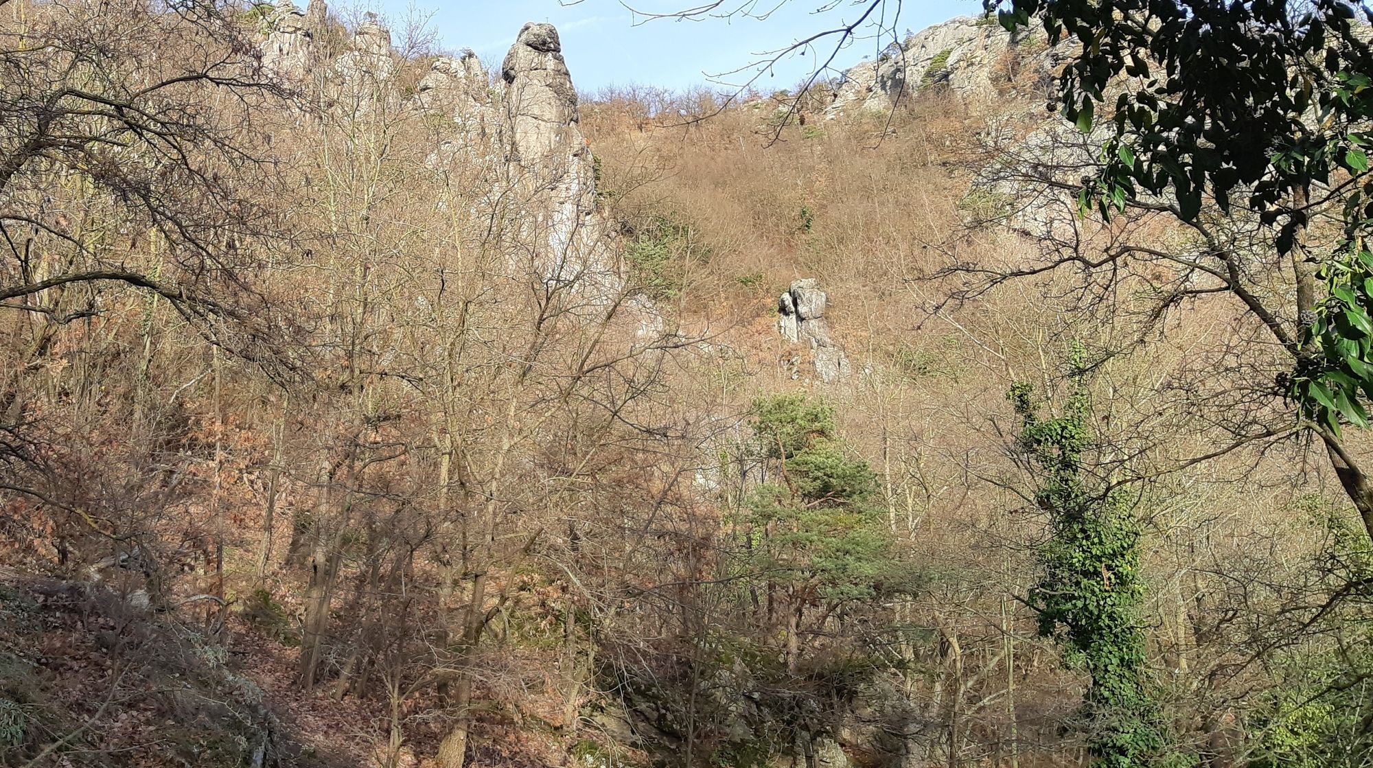
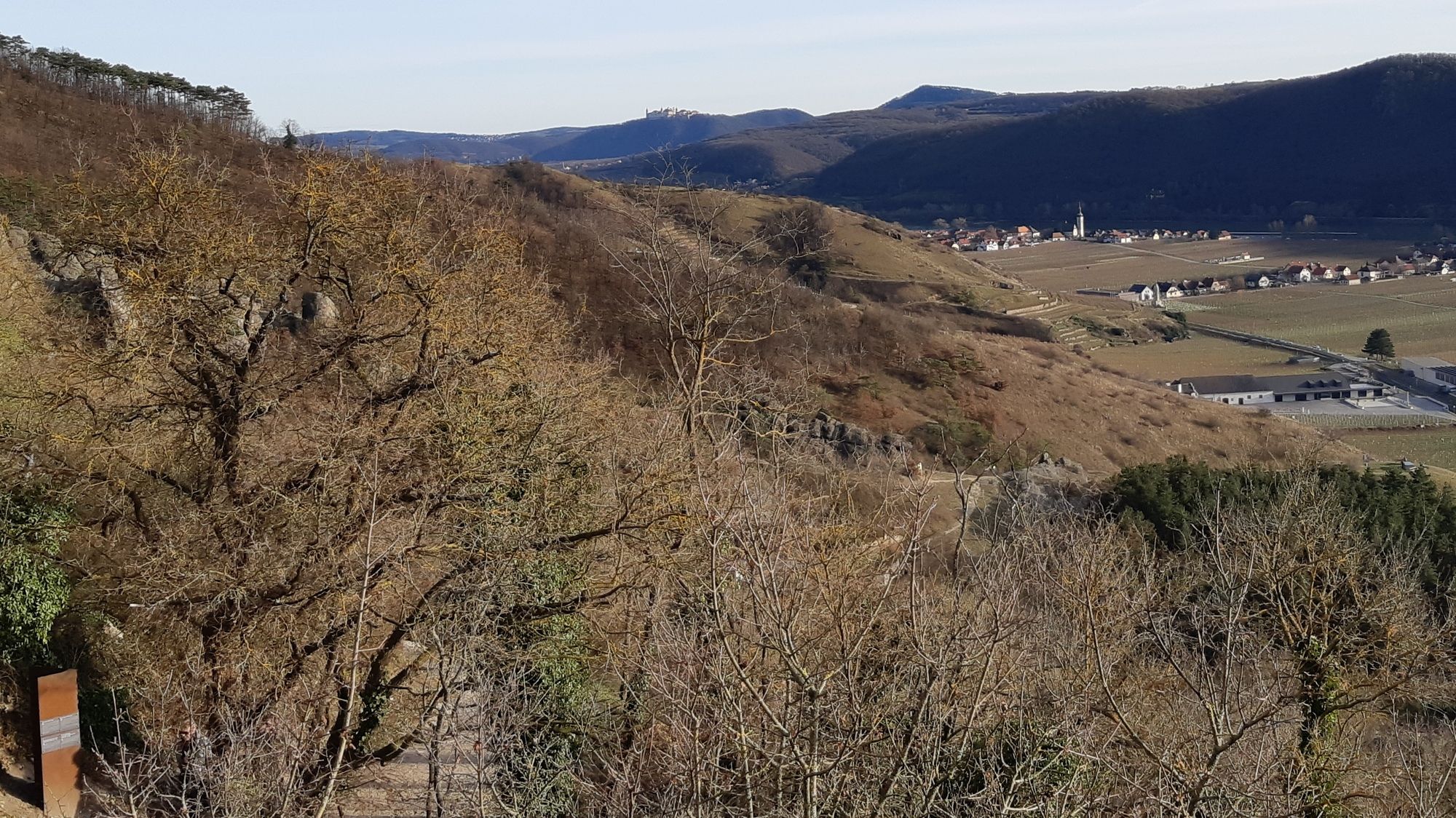
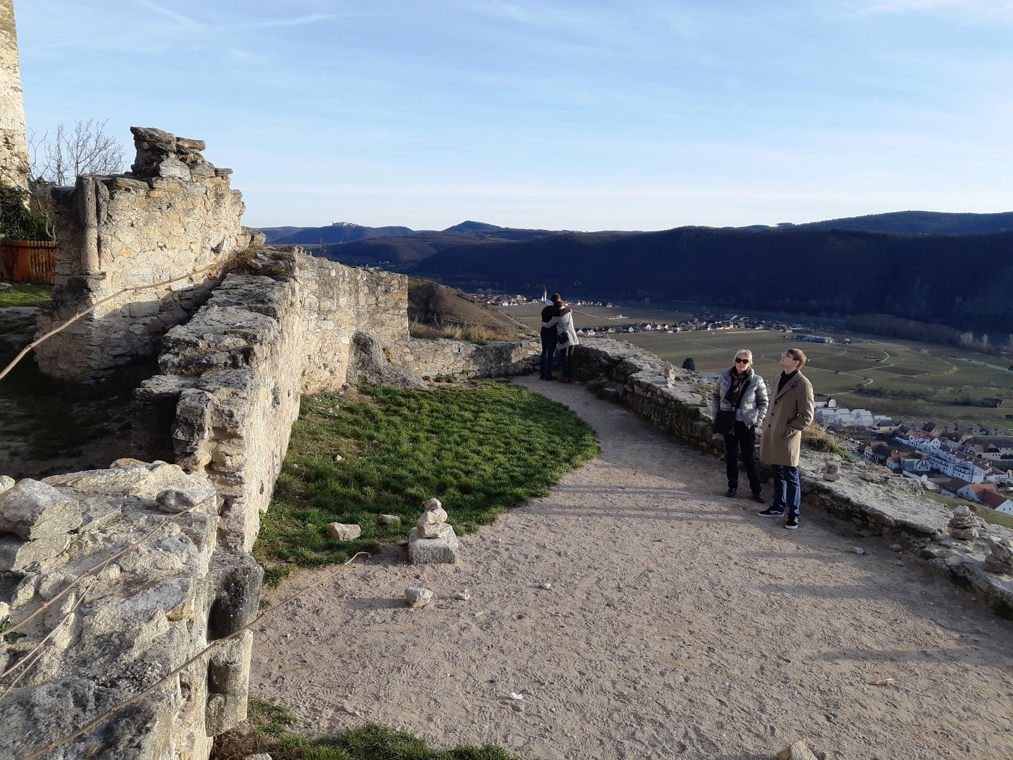
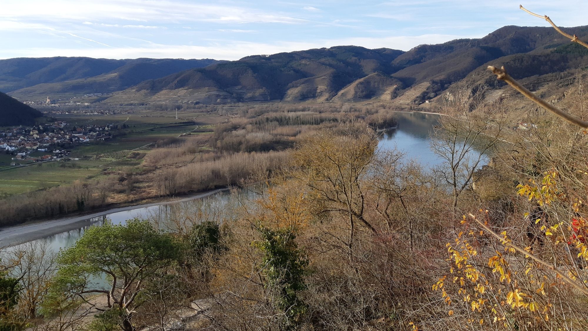
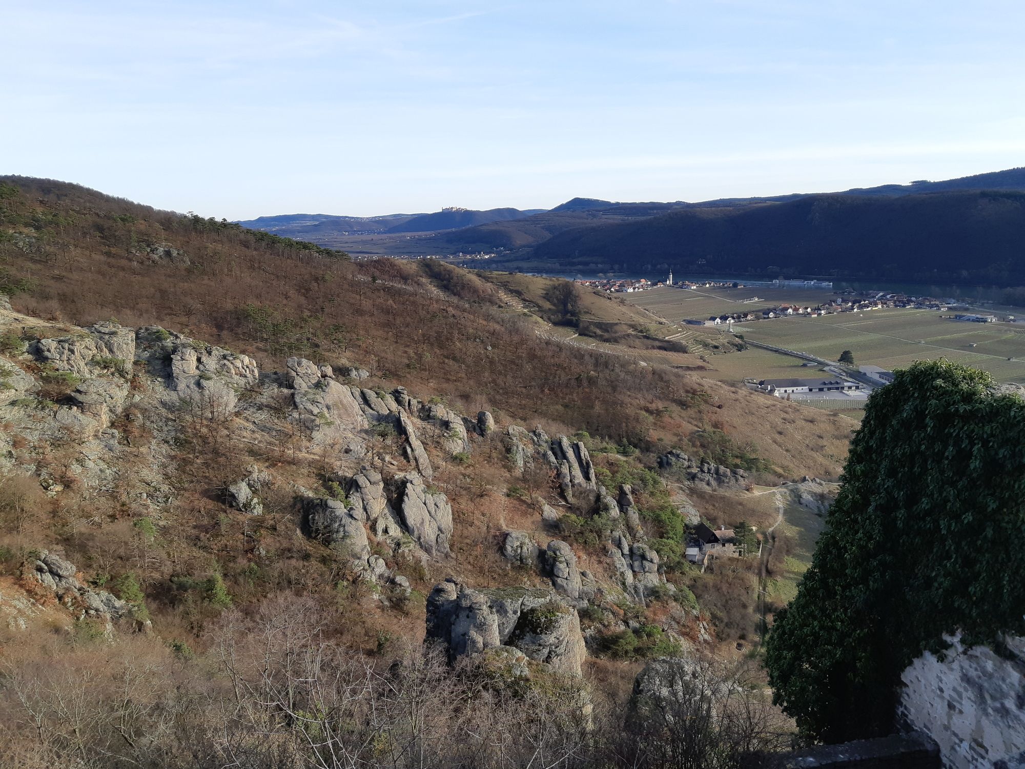
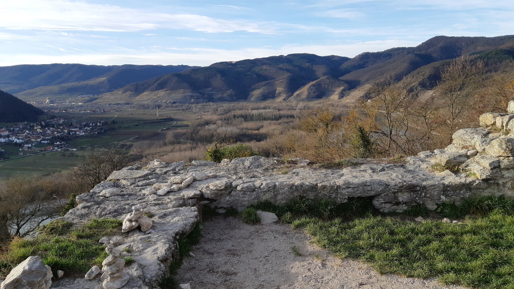
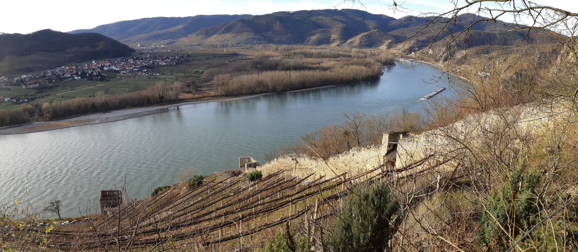
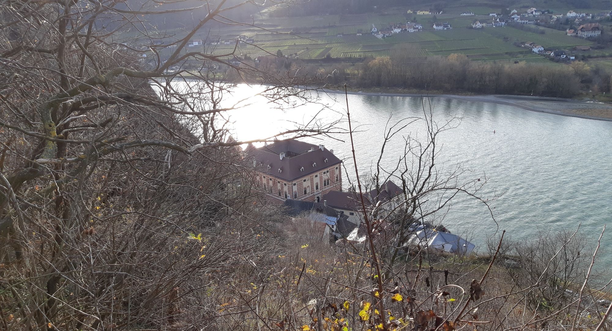
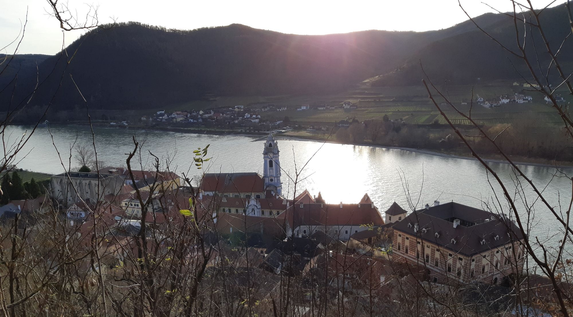
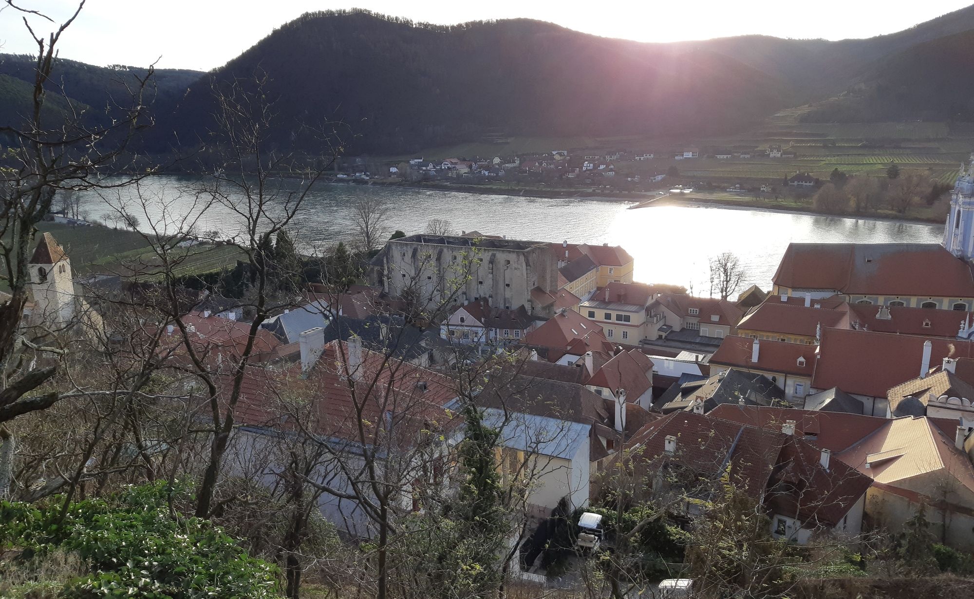
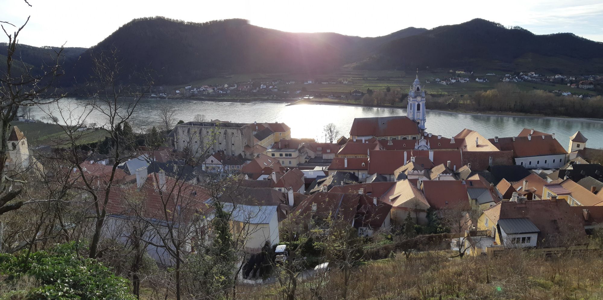
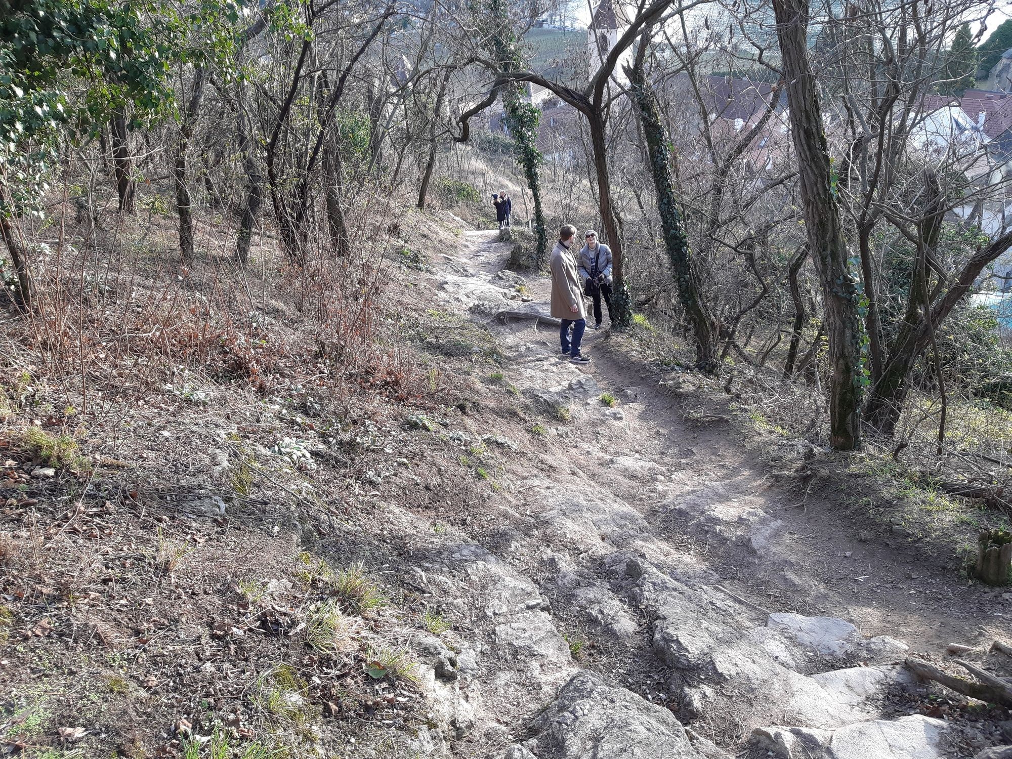
Spaziergang von Dürnstein Oberloiben hoch zur Ruine Dürnstein und über die Stadt wieder zurück.
- Difficoltà
-
facile
- Valutazione
-
- Punto di partenza
-
Schiff, Bahn, Bus, Pkw Parkplatz
- Percorso
-
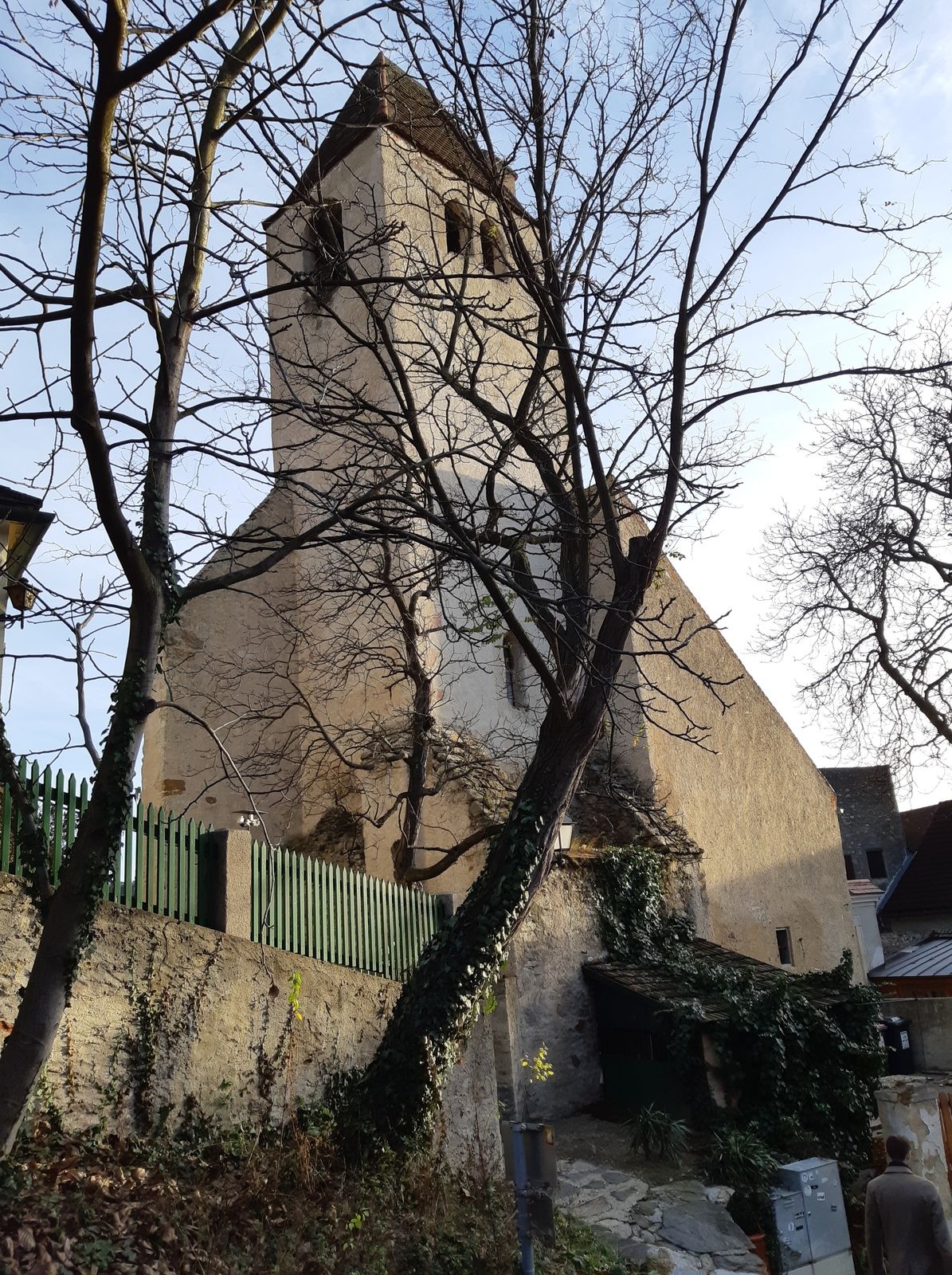
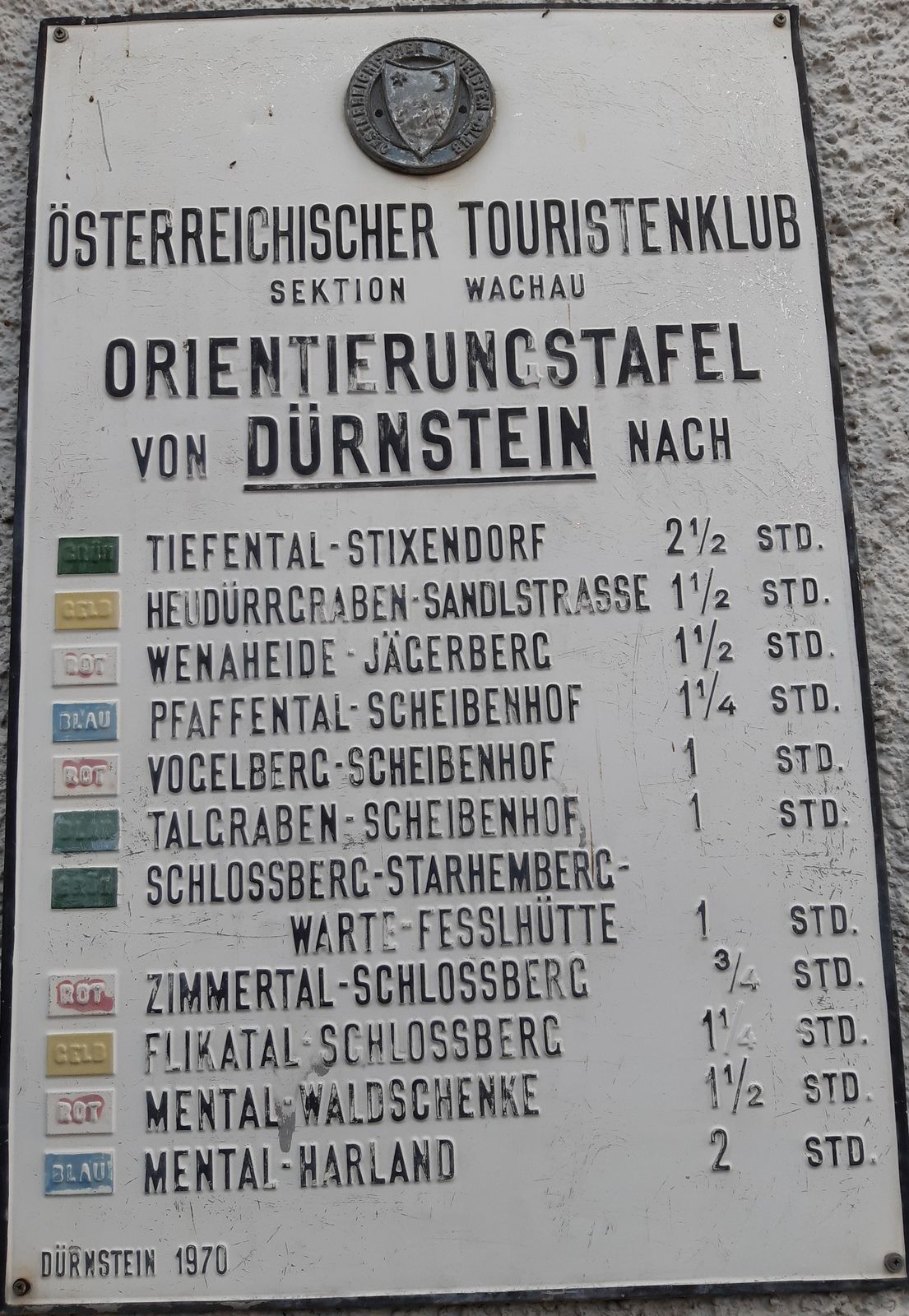
Dürnstein-Oberloiben0,1 kmSchlossberg1,1 kmKunigunden Kirche1,7 kmDürnstein2,4 kmKarner2,5 km
- La stagione migliore
-
genfebmaraprmaggiulugagosetottnovdic
- Punto più alto
- Ruine Dürnstein (312 m)
- Destinazione
-
Ruine und Stadt Dürnstein und zurück zu Schiff, Bahn, Bus, Pkw Parkplatz
- Riposo/Ritiro
-
Gastronomie Dürnstein
- Cartine
-
bergfex, amap, kompass, opentopomap


- Fonte
- Erich Helferstorfer
GPS Downloads


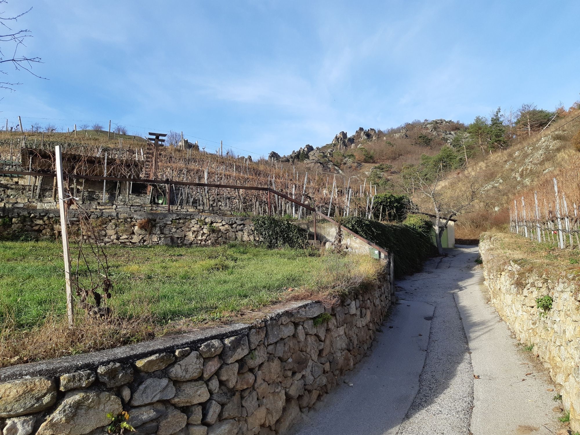
Condizioni dei sentieri
Asfalto
(40%)
Ghiaia
(58%)
Prato
Foresta
(10%)
Roccia
(2%)
Esposta
Altri tour nelle regioni
-
Donau Niederösterreich
2289
-
Dunkelsteinerwald
1373
-
Dürnstein in der Wachau
719


