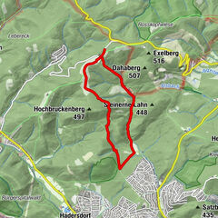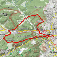
Dati percorsi
8,64km
202
- 481m
291hm
278hm
01:23h
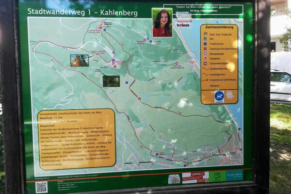
- Descrizione rapida
-
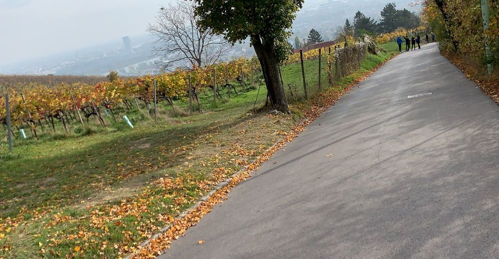
Kurzer Wanderweg 1 - ohne D Wagen
- Difficoltà
-
facile
- Valutazione
-
- Percorso
-
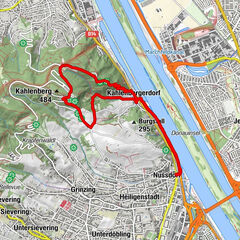
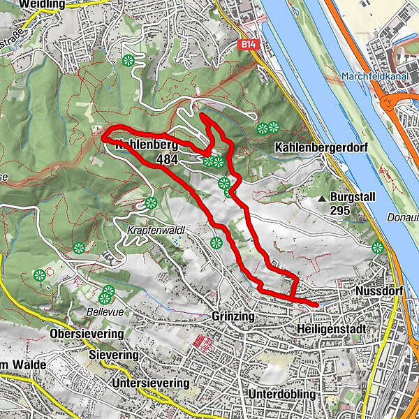
Vienna (542 m)Schmerbern0,9 kmMukental1,4 kmWildgrube1,7 kmKahlenberg (484 m)4,7 kmJosefsdorf5,0 kmSt. Josef5,1 kmNußberg (342 m)7,2 km
- Punto più alto
- 481 m

GPS Downloads


Altri tour nelle regioni
-
Wienerwald
4219
-
Wien und Umgebung
2481
-
Klosterneuburg
1039