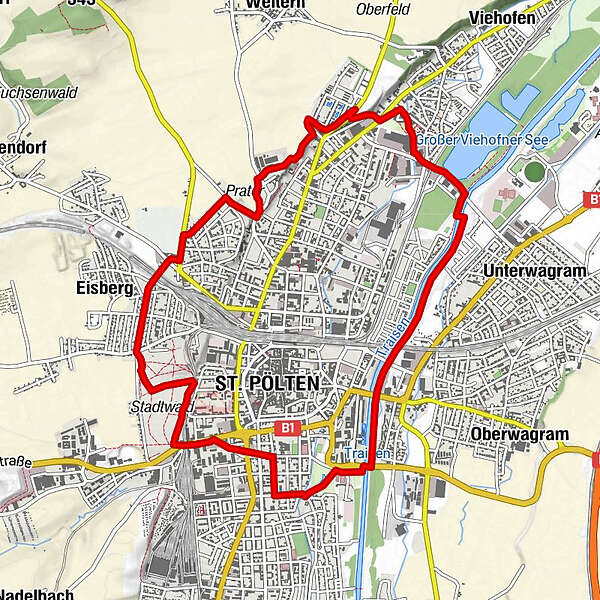
Stadtrundwanderung St. Pölten

Logo Stadtrundwanderung St. Pölten
Dati percorsi
11,37km
257 - 291m
Distanz
59hm
41hm
L'ascesa
02:50h
 
Durata
Descrizione rapida

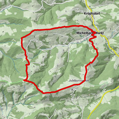
Wanderung/Lauf/Radfahrt durch einige der schönsten Teile St. Pöltens.

Difficoltà
facile
Valutazione
Tecnica
Forma fisica
Panorama
Avventura / Esperienza
Percorso
Spielplatz Kaiserwald
5,8 km
St. Pölten (267 m)
7,1 km
La stagione migliore
gen
feb
mar
apr
mag
giu
lug
ago
set
ott
nov
dic
Punto più alto
291 m

3,7
Valutazione complessiva

5

0

%

4

67

%

3

33

%

2

0

%

1

0

%

GPS Downloads
  • GPX GPS Exchange Format (XML)
  • KML Google Earth, Google Maps
Codici di download QR per telefoni cellulari

Condizioni dei sentieri

Asfalto (40)
Ghiaia (30)
Prato (10)
Foresta (20)
Roccia
Esposta
Altri tour nelle regioni

Tour popolari della zona

Wine hiking trail Spitz

facile Escursionismo
4,32km | 140hm | 01:30h

Rote Wand und Hoher Stein

intermedio Escursionismo
7,8km | 600hm | 02:30h

Buschandlwand - from Wösendorf in the Wachau to Spitz on the Danube

intermedio Escursionismo
14,85km | 460hm | 03:30h

MICHELBACH Kukubauerhütte Volkssternwarte 20200116

facile Escursionismo
11,8km | 490hm | 04:00h