© Wiener Alpen in Niederösterreich - Bad Schönau - Adi Aigner
© ©Marktgemeinde Hochneukirchen-Gschaidt - Wiener Alpen in Niederösterreich Tourismus GmbH
© ®A.Z©Gemeinde Kirchschlag, Foto A.Z - Wiener Alpen in Niederösterreich Tourismus GmbH
- Descrizione rapida
-
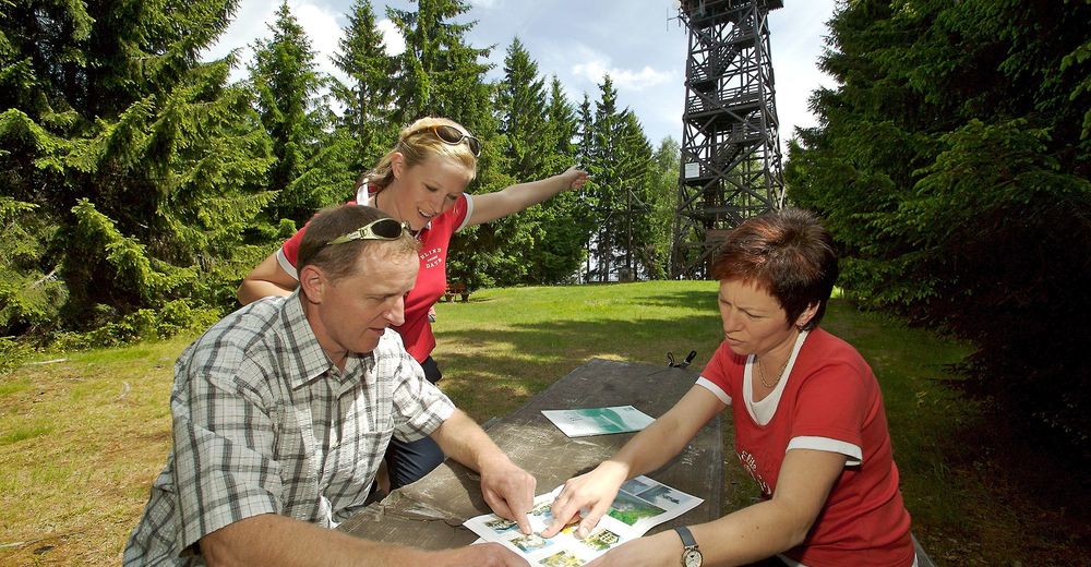
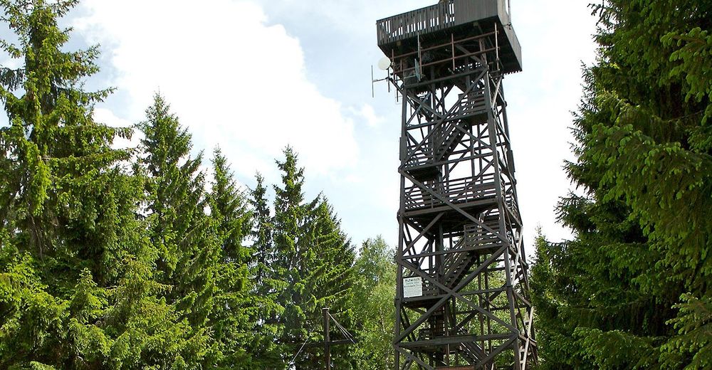
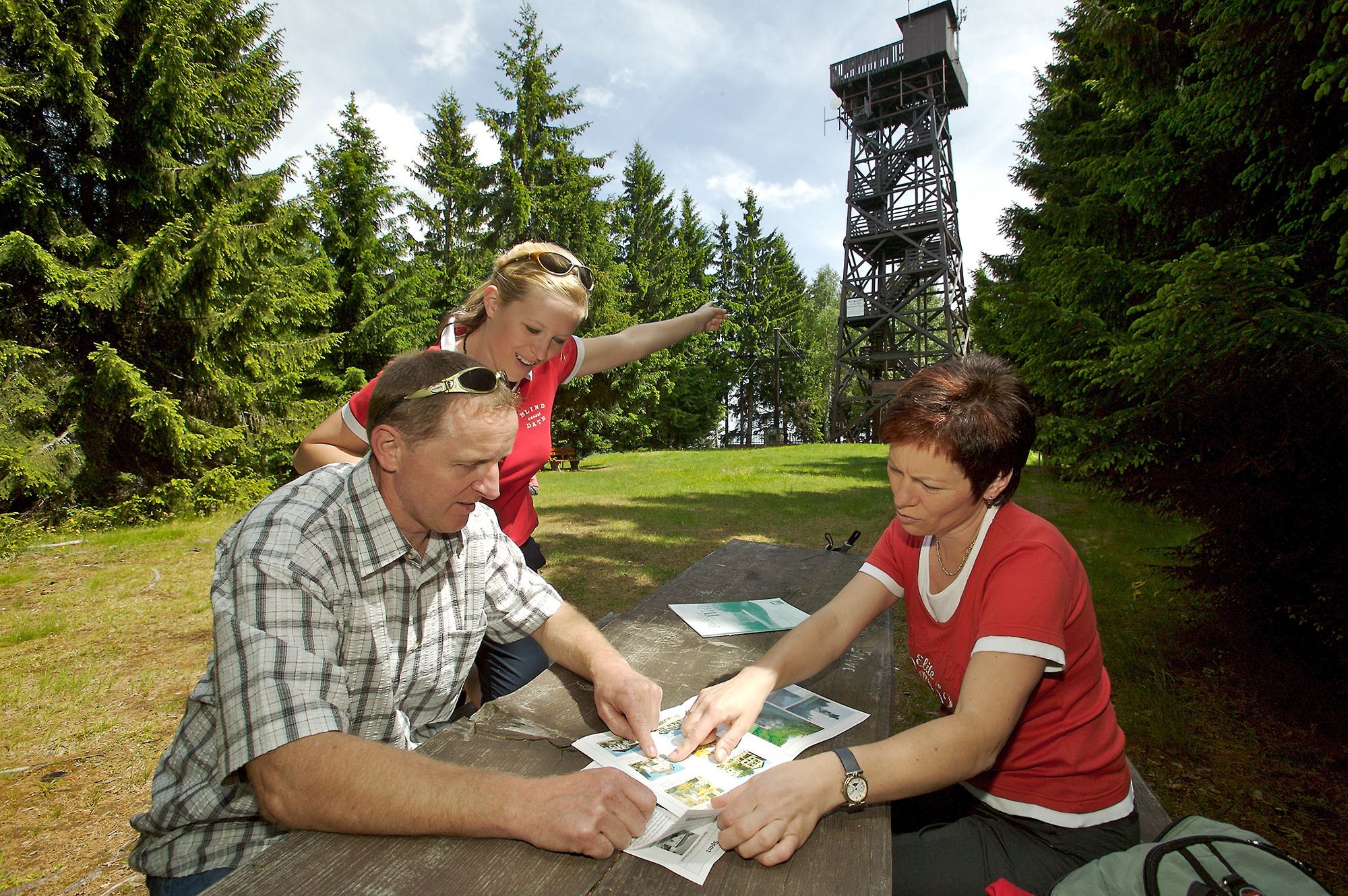
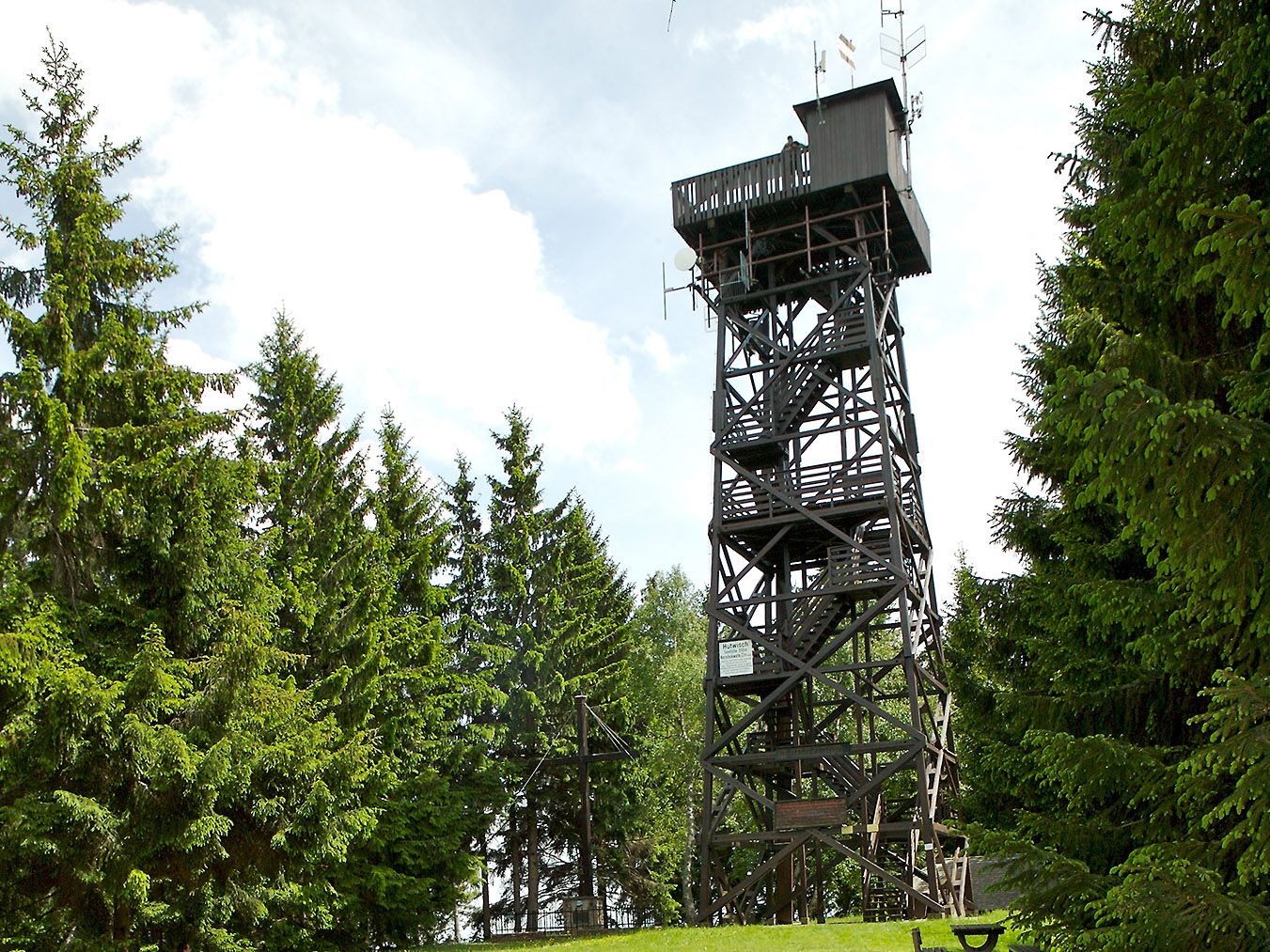
Hike to the Hutwisch lookout tower, via the Gasthof Höhwirt. At 896m in height, and with 104 steps, the lookout tower offers breathtaking views.
- Difficoltà
-
facile
- Valutazione
-
- Percorso
-
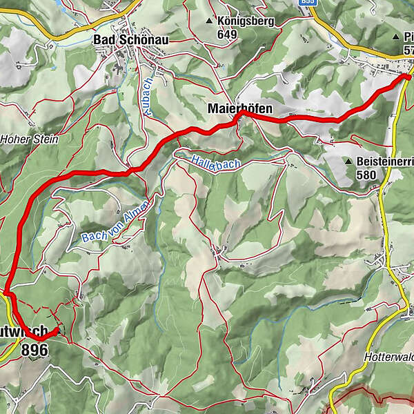
Grandits0,1 kmMaierhöfen2,4 kmKapelle2,4 kmHutwisch (896 m)7,7 km
- La stagione migliore
-
genfebmaraprmaggiulugagosetottnovdic
- Punto più alto
- 894 m
- Destinazione
-
Hutwisch outlook tower or Gasthof Höhwirt
- Profilo altimetrico
-

- Autore
-
Il tour Kirchschlag – Hutwisch or Höhwirt route è utilizzato da outdooractive.com fornito.
GPS Downloads


Info generali
Punto di ristoro
Promettente
Altri tour nelle regioni
-
Wiener Alpen
3045
-
Bucklige Welt - Wiener Alpen
792
-
Bad Schönau
188