
© Donau NÖ Tourismus/Robert Herbst

© Donau NÖ Tourismus/Robert Herbst
© Donau NÖ Tourismus/Doris Schwarz-König
© Markus Haslinger - Wachau Nibelungengau-Kremstal
© Donau NÖ Tourismus/Doris Schwarz-König
© Donau NÖ Tourismus/Robert Herbst
© Weinstraße Wachau/Rita Newman - Wachau Nibelungengau-Kremstal
© Markus Haslinger

- Descrizione rapida
-
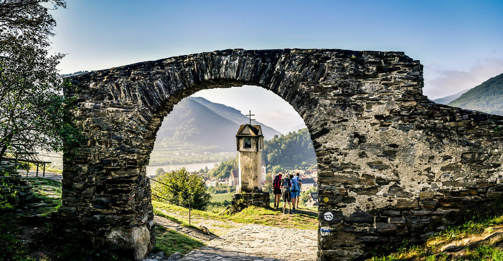
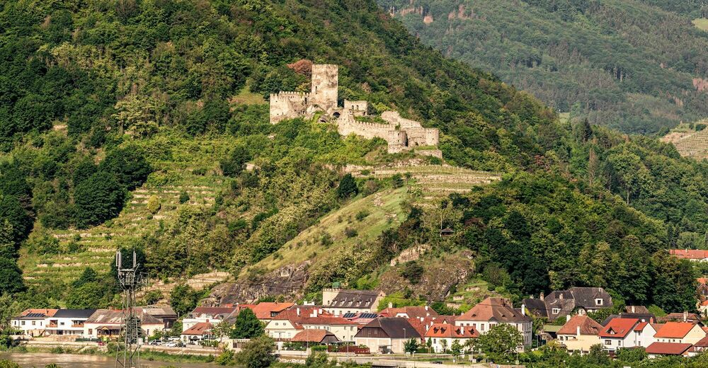
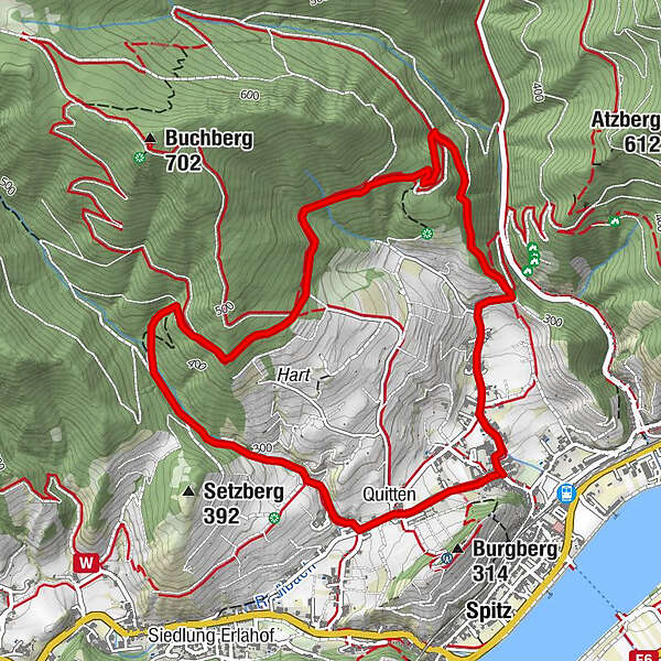
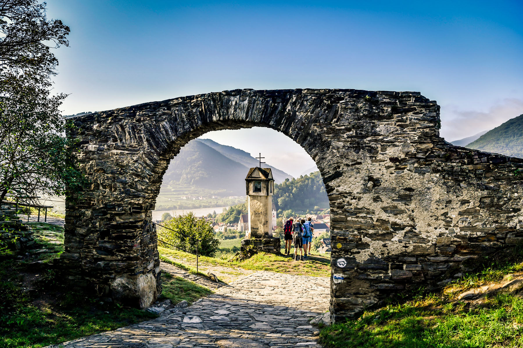
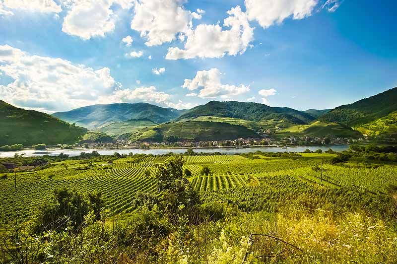
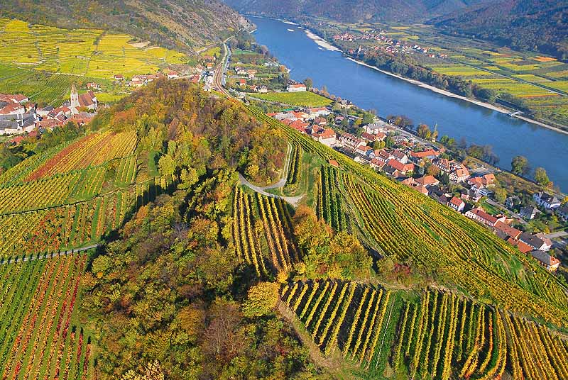
Die Wanderung führt vom Kirchenplatz in Spitz hinauf zum legendären "Roten Tor", einem Relikt einer alten Wehrmauer.
- Difficoltà
-
facile
- Valutazione
-
- Percorso
-
Pfarrkirche hl. Mauritius0,0 kmRadlbach4,8 kmQuitten5,0 kmSpitz5,1 km
- La stagione migliore
-
genfebmaraprmaggiulugagosetottnovdic
- Punto più alto
- 462 m
- Destinazione
-
Spitz, Kirchenplatz
- Profilo altimetrico
-


- Autore
-
Il tour Rotes-Tor-Rundweg è utilizzato da outdooractive.com fornito.
GPS Downloads


Info generali
Punto di ristoro
Altri tour nelle regioni


