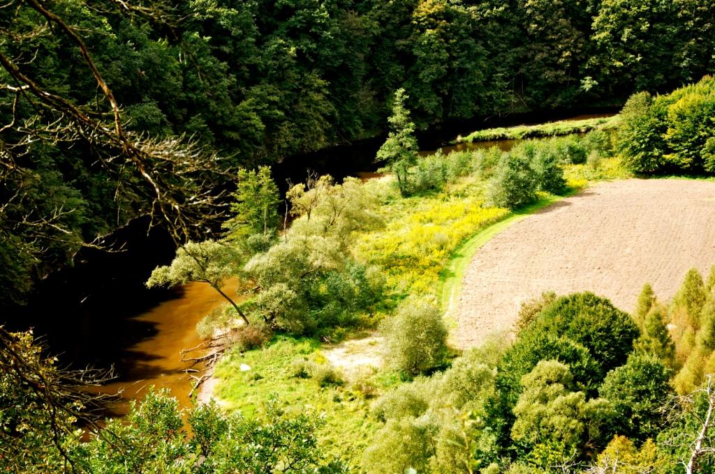
© © Franz Pfluegl - Destination Waldviertel

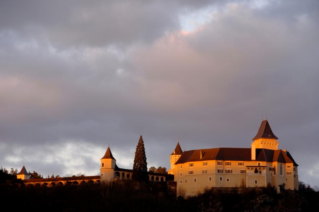
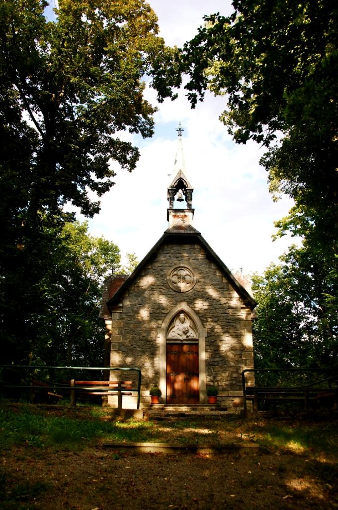
© © Monika Kölbl, Schloss Rosenburg, Gemeinde Rosenburg-Mold - Destination Waldviertel

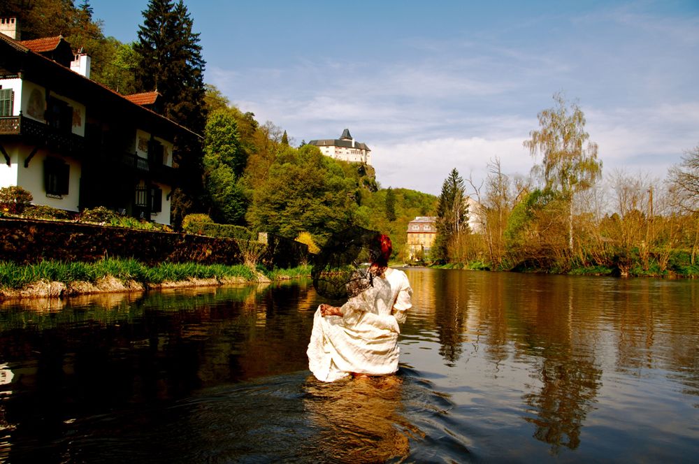
© © Monika Kölbl, Schloss Rosenburg, Gemeinde Rosenburg-Mold - Destination Waldviertel

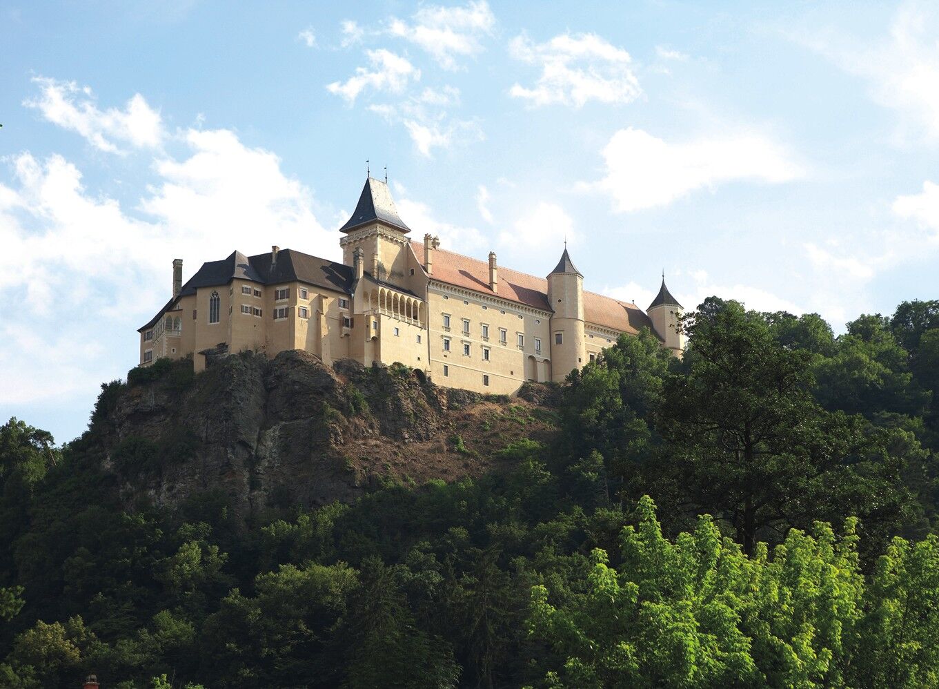
© © Monika Kölbl, Schloss Rosenburg, Gemeinde Rosenburg-Mold - Destination Waldviertel

© © Monika Kölbl, Schloss Rosenburg, Gemeinde Rosenburg-Mold - Destination Waldviertel

- Difficoltà
-
intermedio
- Valutazione
-
- Percorso
-
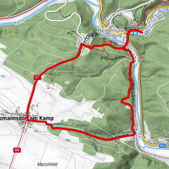
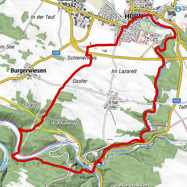
Hotel Restaurant Landgasthof Mann0,1 kmRosenburg am Kamp0,2 kmSchlossgasthof Rosenburg1,0 kmPfarrkirche hl. Stephan8,3 kmHorn (311 m)8,6 kmPfarrkirche Sankt Georg8,8 kmPiaristenkirche8,9 kmKreuzigungskapelle9,0 kmElisabethkapelle15,5 kmRosenburg am Kamp15,6 km
- La stagione migliore
-
genfebmaraprmaggiulugagosetottnovdic
- Punto più alto
- 378 m
- Profilo altimetrico
-

- Autore
-
Il tour Rosenburg Rundweg 2 è utilizzato da outdooractive.com fornito.
GPS Downloads


Altri tour nelle regioni
-
Donau Niederösterreich
2288
-
Kamptal - Manhartsberg
1159
-
Rosenburg-Mold
136