© ZWalk.at
© ZWalk.at

© ZWalk.at
© ZWalk.at
© ZWalk.at
Dati percorsi
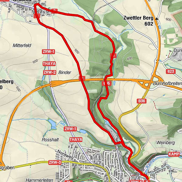
6,8km
513
- 602m
74hm
89hm
01:45h
- Descrizione rapida
-
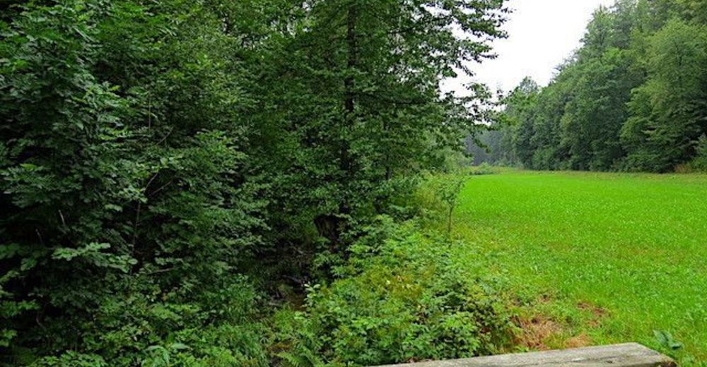
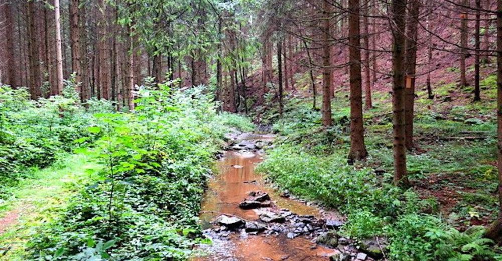
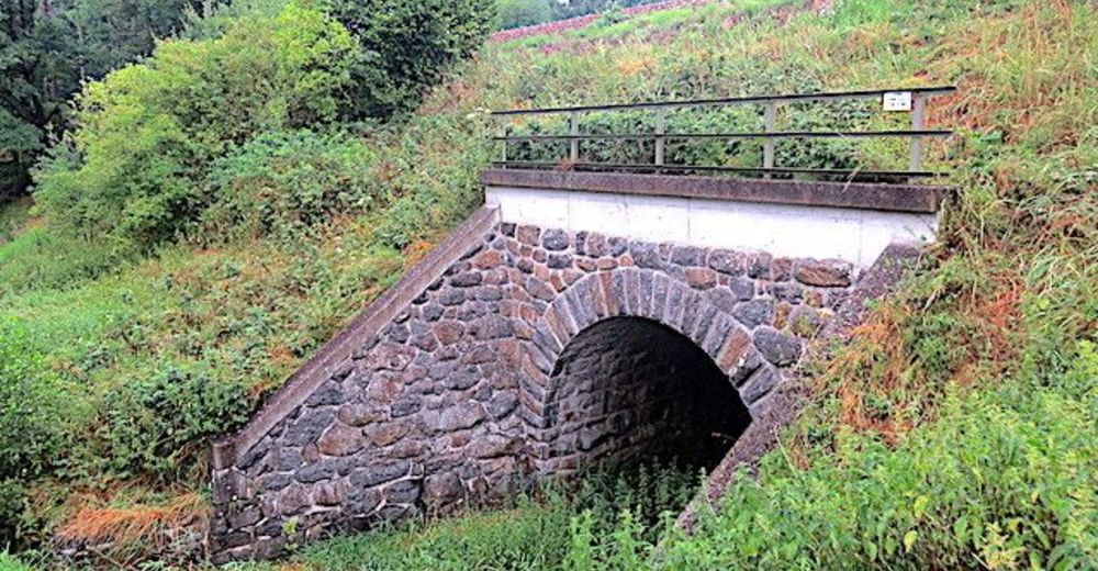
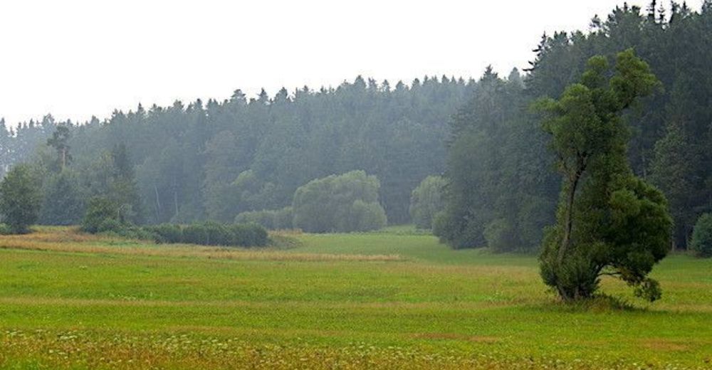
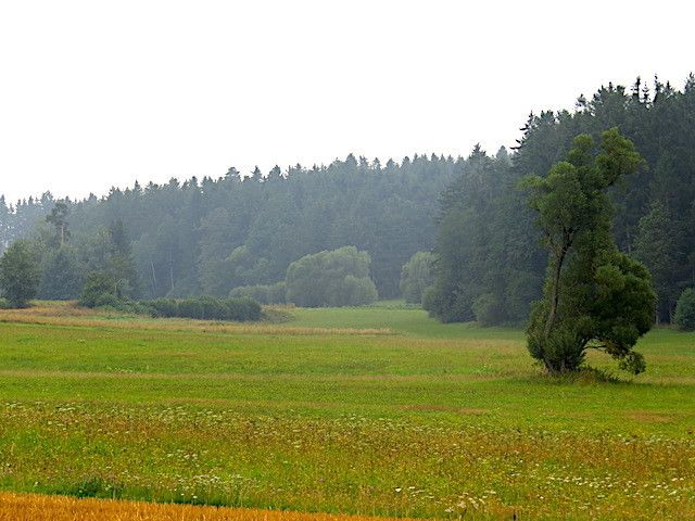
Von Zwettl durch das Gradnitzbachtal
- Difficoltà
-
facile
- Valutazione
-
- Punto di partenza
-
Zwettl
- Percorso
-
ZwettlGraben1,0 kmGradnitz3,5 kmZwettl6,7 km
- Punto più alto
- 602 m
- Fonte
- ZWalk
GPS Downloads


Altri tour nelle regioni
-
Waldviertel
1776
-
Oberes Waldviertel
614
-
Zwettl
247