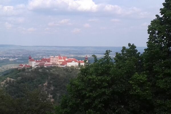
© © F. Gangelmayer - Destination Waldviertel


- Difficoltà
-
facile
- Valutazione
-
- Percorso
-
Schönberg am KampHubertuskapelle5,3 kmKalvarienberg (309 m)6,4 kmSchönberg am Kamp7,7 kmGasthof zur Schonenburg7,7 km
- La stagione migliore
-
genfebmaraprmaggiulugagosetottnovdic
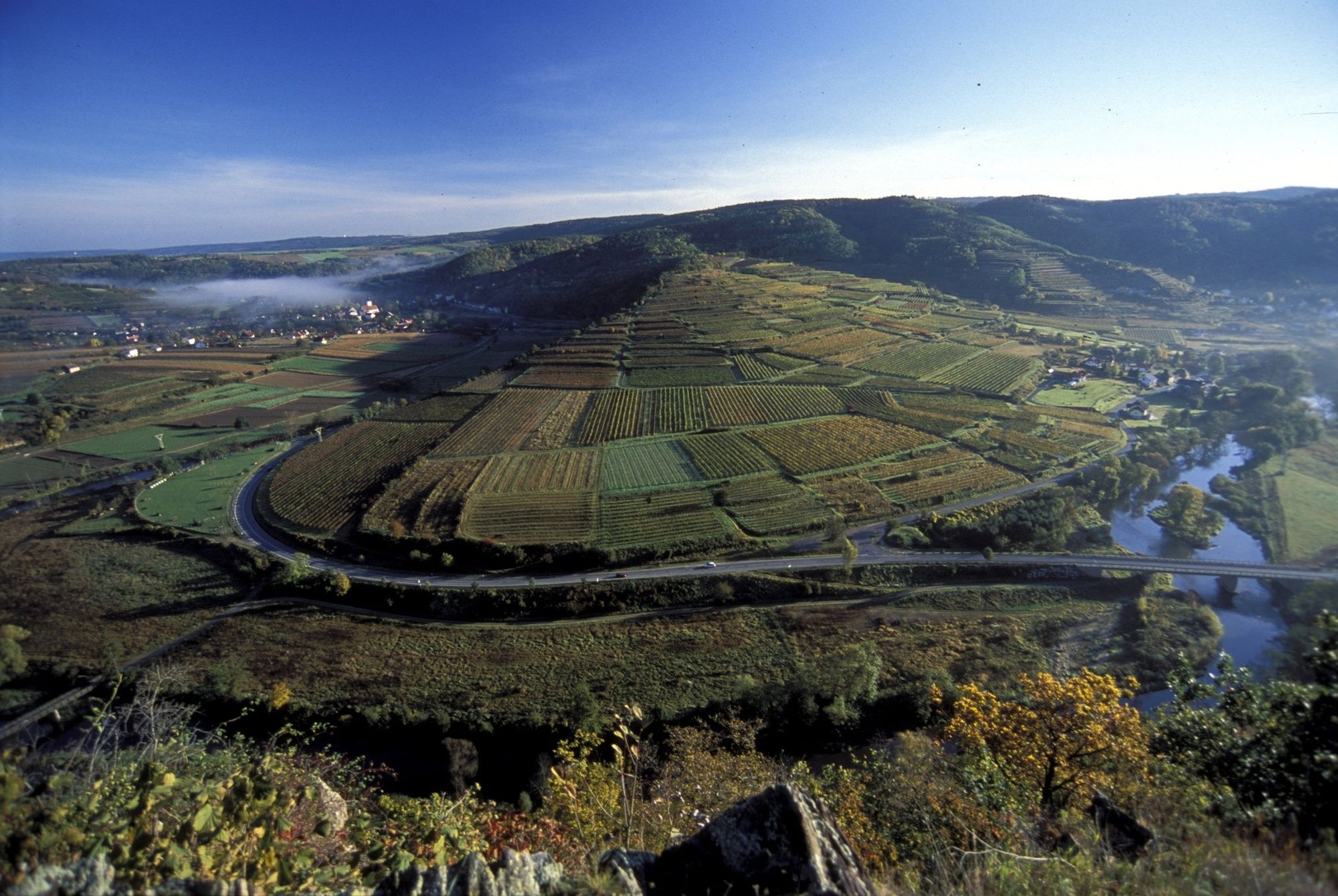
- Punto più alto
- 404 m
- Profilo altimetrico
-

- Autore
-
Il tour Manhartsbergweg - Schönberg am Kamp è utilizzato da outdooractive.com fornito.
GPS Downloads


Info generali
Promettente
Altri tour nelle regioni
-
Donau Niederösterreich
2288
-
Kamptal - Manhartsberg
1159
-
Schönberg am Kamp
282