
© ZWalk.at
© ZWalk.at
© ZWalk.at
Dati percorsi
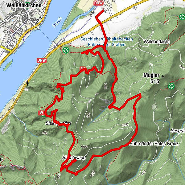
9,05km
203
- 598m
429hm
03:00h
- Descrizione rapida
-
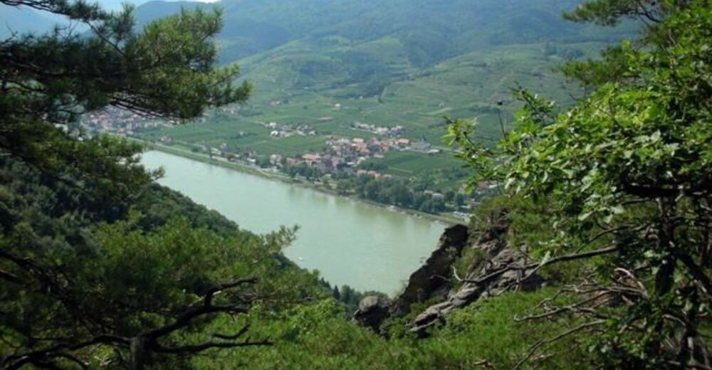
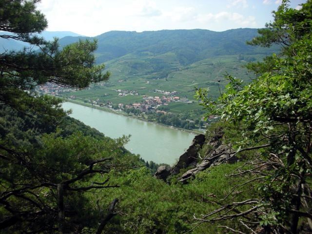
Die Wachau mit der Donau, ihren Heurigen, grünen Veltliner und Wachauer Marillen kennt jeder.
- Difficoltà
-
facile
- Valutazione
-
- Punto di partenza
-
Rührsdorf
- Percorso
-
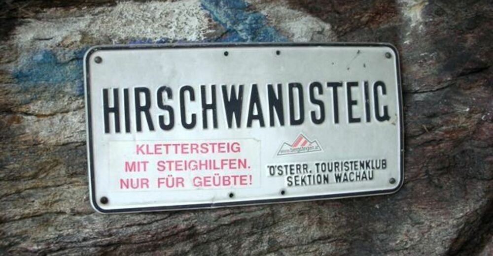
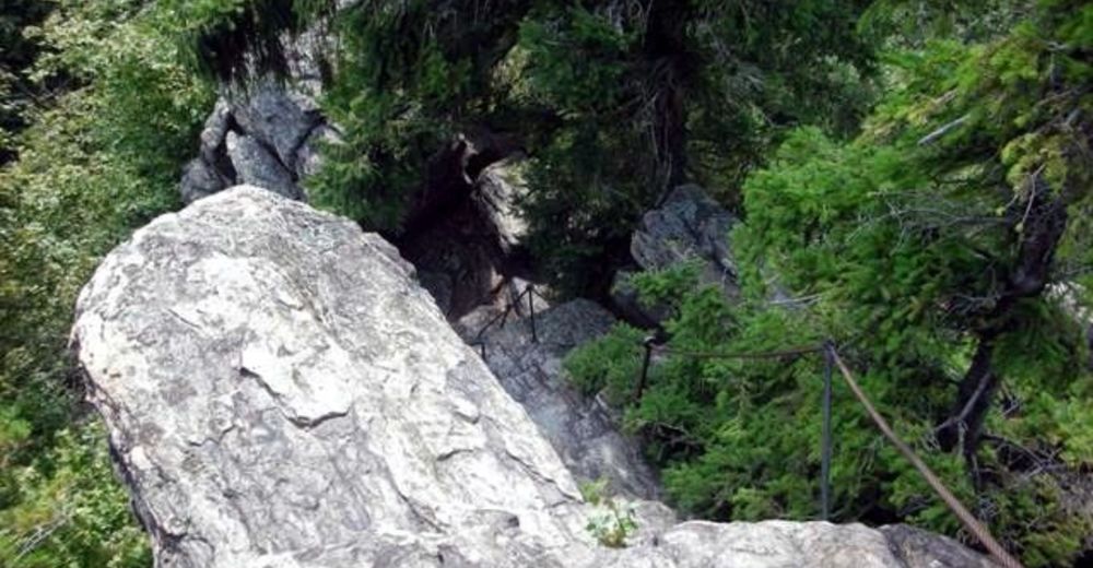
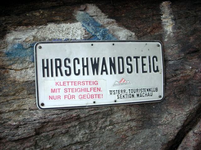
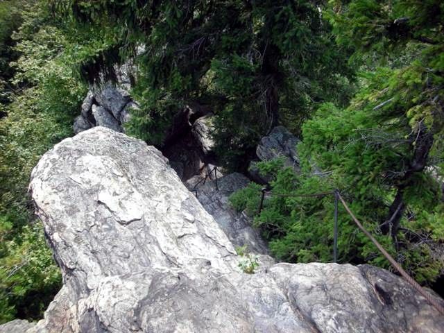
Hirschwand (625 m)4,7 kmRührsdorf9,0 km
- Punto più alto
- 598 m
- Fonte
- ZWalk
GPS Downloads


Condizioni dei sentieri
Asfalto
Ghiaia
Prato
Foresta
Roccia
Esposta
Altri tour nelle regioni


