© ZWalk.at
© ZWalk.at
© ZWalk.at
Dati percorsi
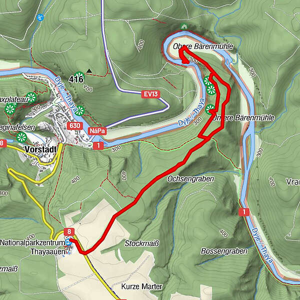
5,72km
284
- 421m
125hm
01:30h
- Descrizione rapida
-
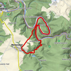
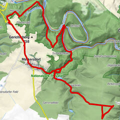
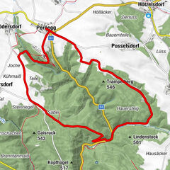
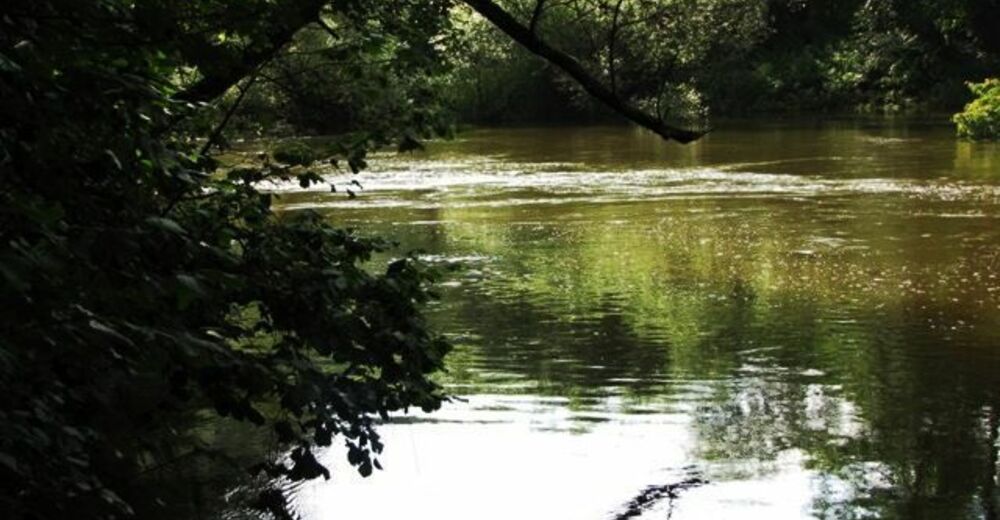
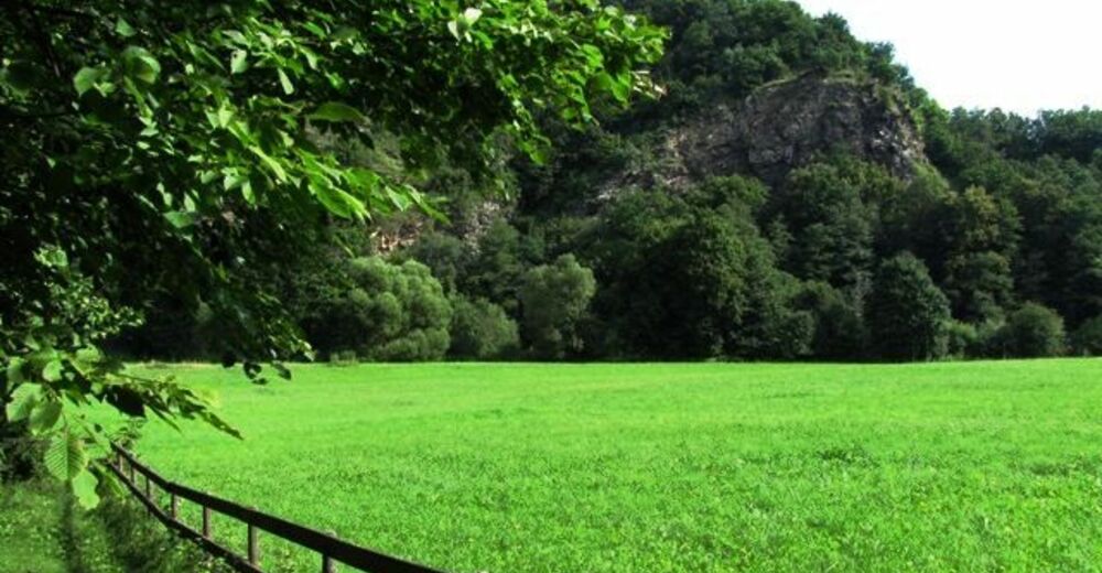
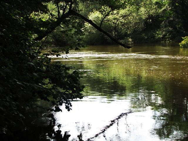
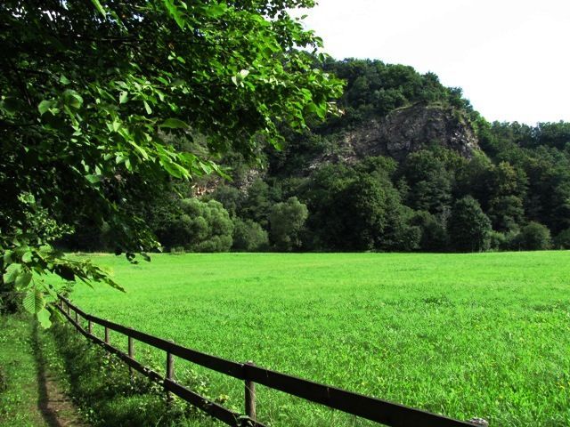
Die Tour führt durch eine typische, leicht hügelige Waldviertler Landschaft. Es geht durch Felder, Wiesen und Wälder, die sich ständig abwechseln.
- Difficoltà
-
facile
- Valutazione
-
- Percorso
-
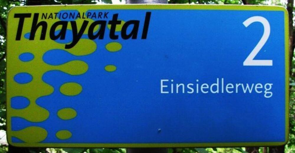
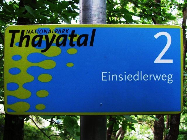
Einsiedlerhöhle2,8 kmEdenkeller3,4 kmEinsiedler3,5 km
- Punto più alto
- 421 m
- Fonte
- ZWalk
GPS Downloads


Condizioni dei sentieri
Asfalto
Ghiaia
Prato
Foresta
Roccia
Esposta
Altri tour nelle regioni
-
Weinviertel
942
-
Nationalparkregion Thayatal
264
-
Hardegg
79