© ZWalk.at
© ZWalk.at

© ZWalk.at
Dati percorsi
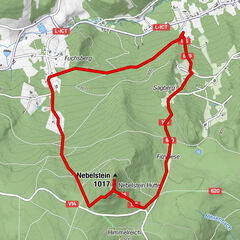
5,23km
485
- 534m
42hm
01:30h

- Descrizione rapida
-
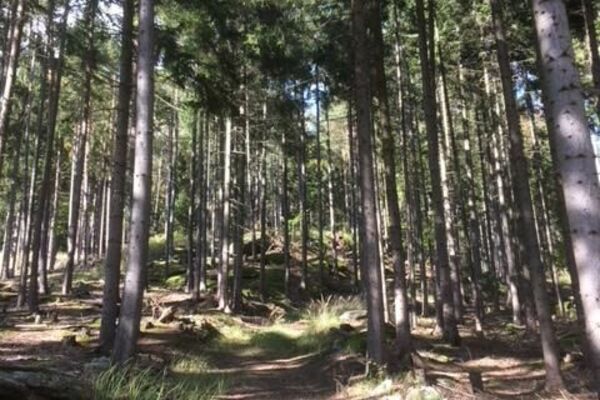
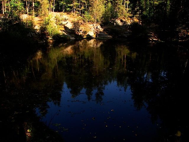
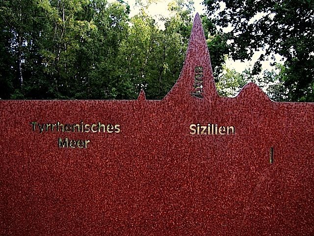
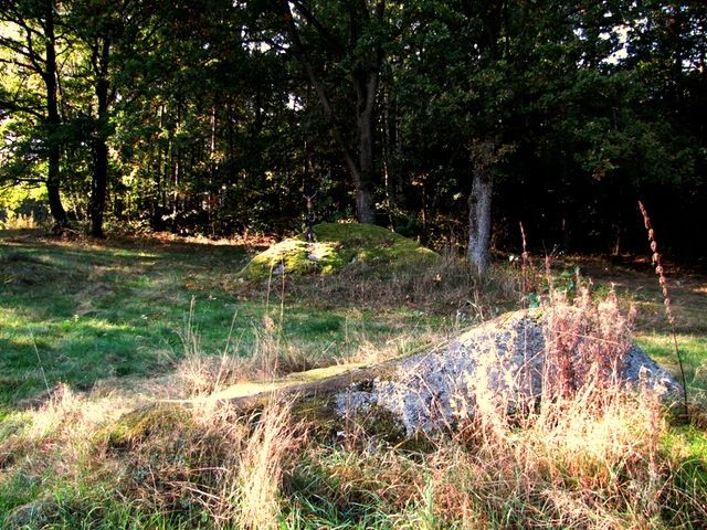
Die Tour führt durch eine typische, leicht hügelige Waldviertler Landschaft. Es geht durch Felder, Wiesen und Wälder, die sich ständig abwechseln.
- Difficoltà
-
facile
- Valutazione
-
- Punto di partenza
-
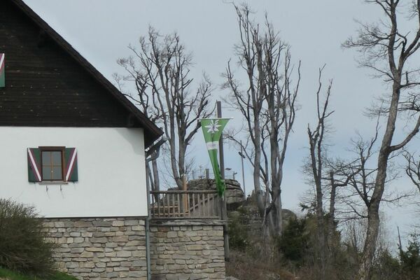
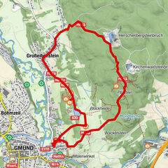
Gmünd - Blockheide
- Percorso
-
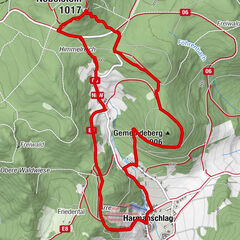
Grillenstein0,0 kmBrunngraben0,7 kmHubertuskapelle0,9 kmBlockheide1,0 kmKräuteln2,6 kmLangau4,2 kmGrillenstein5,1 kmGmünd5,2 km
- Punto più alto
- 534 m
- Fonte
- ZWalk
GPS Downloads


Condizioni dei sentieri
Asfalto
Ghiaia
Prato
Foresta
Roccia
Esposta
Altri tour nelle regioni
-
Waldviertel
1776
-
Oberes Waldviertel
614
-
Gmünd im Waldviertel
130