© ZWalk.at

© ZWalk.at

© ZWalk.at
Dati percorsi
9,33km
737
- 868m
112hm
02:30h
- Descrizione rapida
-
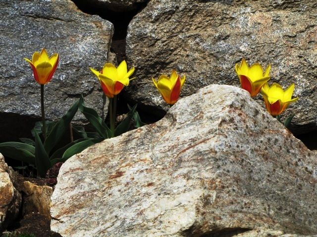
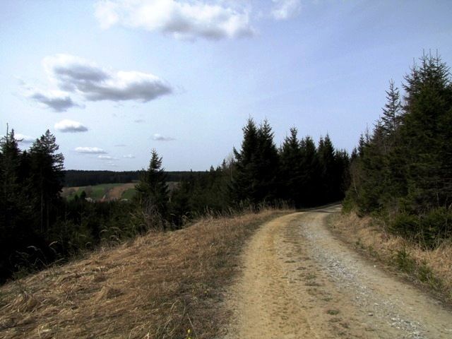
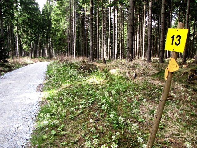
Die Tour führt durch eine typische, leicht hügelige Waldviertler Landschaft. Es geht durch Felder, Wiesen und Wälder, die sich ständig abwechseln.
- Difficoltà
-
facile
- Valutazione
-
- Punto di partenza
-
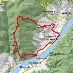
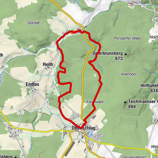
Armschlag
- Percorso
-
Armschlag0,0 kmFurtmühle0,6 kmHeuriger Pehn0,8 kmHammerwerk0,8 kmReith2,1 kmFürkappen4,0 kmOttenschlag4,7 kmMohnwirt Neuwiesinger9,2 kmArmschlag9,3 km
- Punto più alto
- 868 m
- Fonte
- ZWalk
GPS Downloads


Condizioni dei sentieri
Asfalto
Ghiaia
Prato
Foresta
Roccia
Esposta
Altri tour nelle regioni
-
Donau Niederösterreich
2289
-
Waldviertel Mitte
1247
-
Ottenschlag
250